
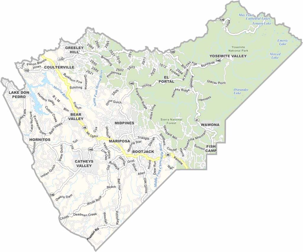
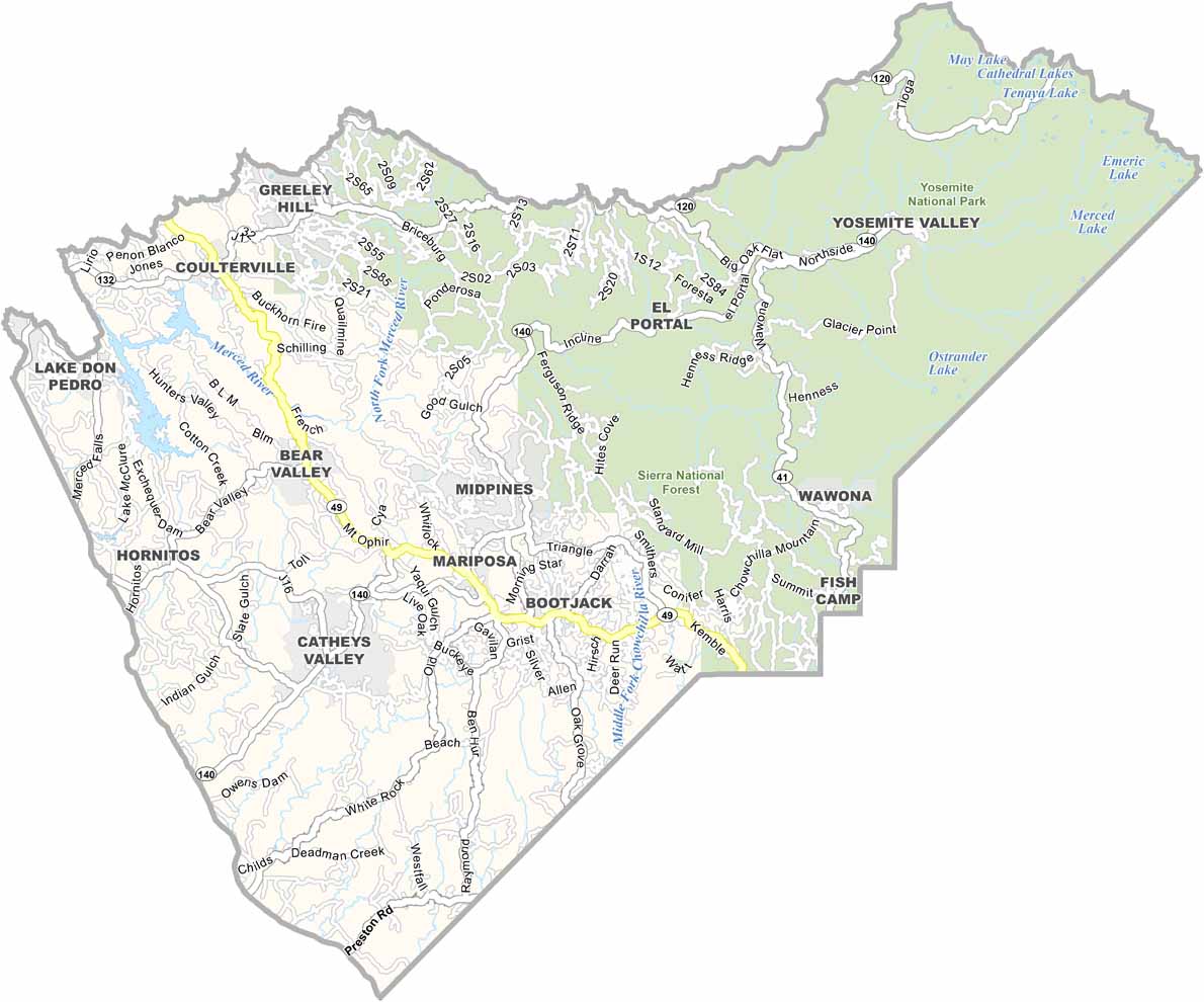
Mariposa County is nestled in the Sierra Nevada foothills and is closely associated with Yosemite National Park, with a significant portion of the park located within the county. The small town of Mariposa has a charming Gold Rush-era character and a rich history.
Outdoor recreation is a major attraction, with hiking opportunities throughout the county and beyond Yosemite. Its rural setting means nightlife is limited, but the clear skies and remote surroundings make it an excellent place for stargazing.
The Mariposa County Fair has been a local tradition since the 1930s. Highway 140 provides an important route through the region, while the county’s population of just over 20,000 contributes to its peaceful, small-town atmosphere.
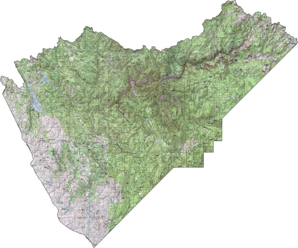
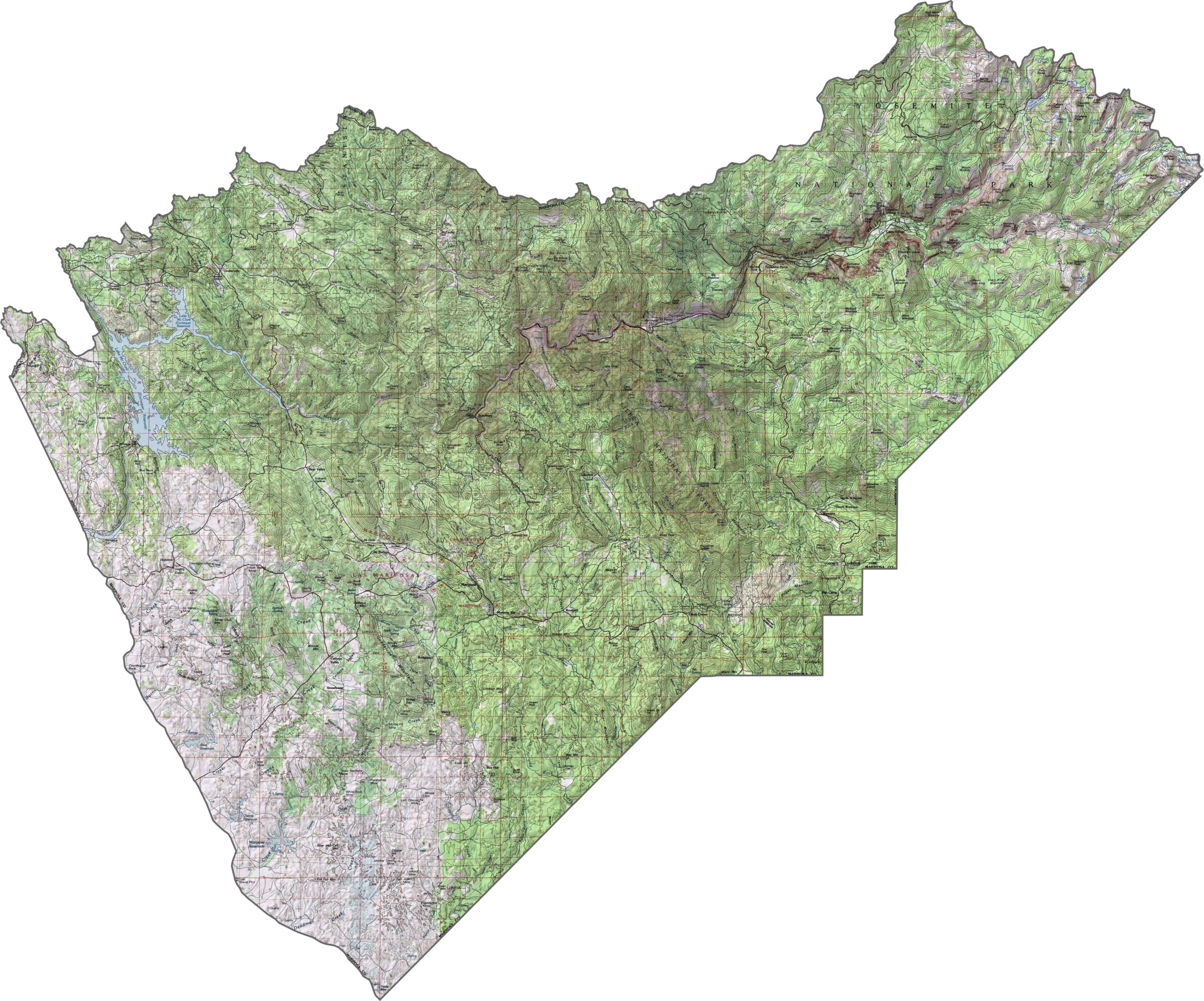
This topographic map highlights Mariposa County’s river canyons, rolling foothills, and western Sierra Nevada terrain. The detailed contours show the landscape rising toward the rugged granite country of Yosemite National Park.
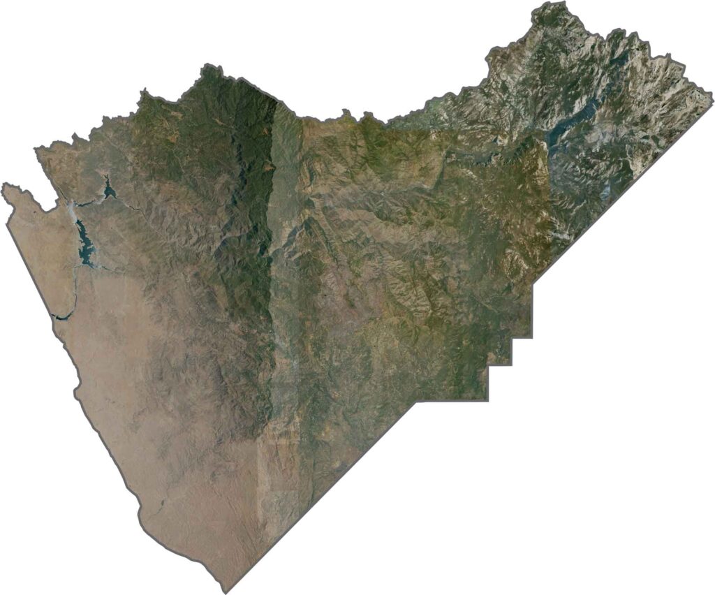
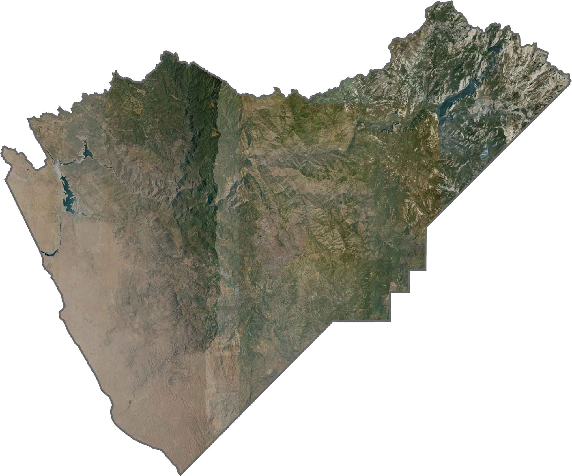
This satellite map reveals the transition from Sierra foothills to Yosemite’s granite landscapes. Small communities appear as tiny clearings surrounded by extensive forests across much of the county.
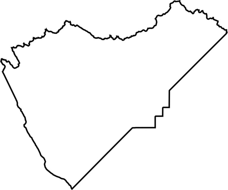
This blank map outlines Mariposa County’s elongated shape in the central Sierra Nevada foothills. The eastern portion includes the western reaches of Yosemite National Park, emphasizing the county’s connection to this iconic mountain landscape.








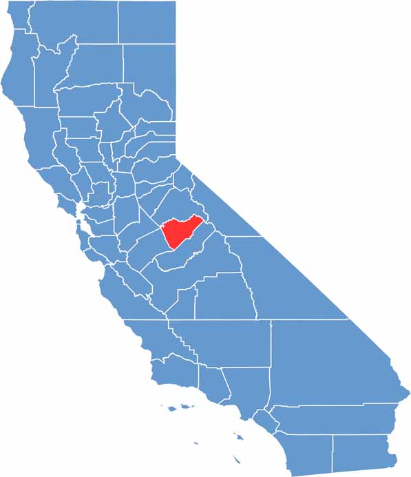
Ever wonder how California’s 58 counties are organized? Our California county map lays them all out, from the Pacific Coast to the vast desert regions. Explore the map to find the counties you know—and perhaps discover a few you don’t.