
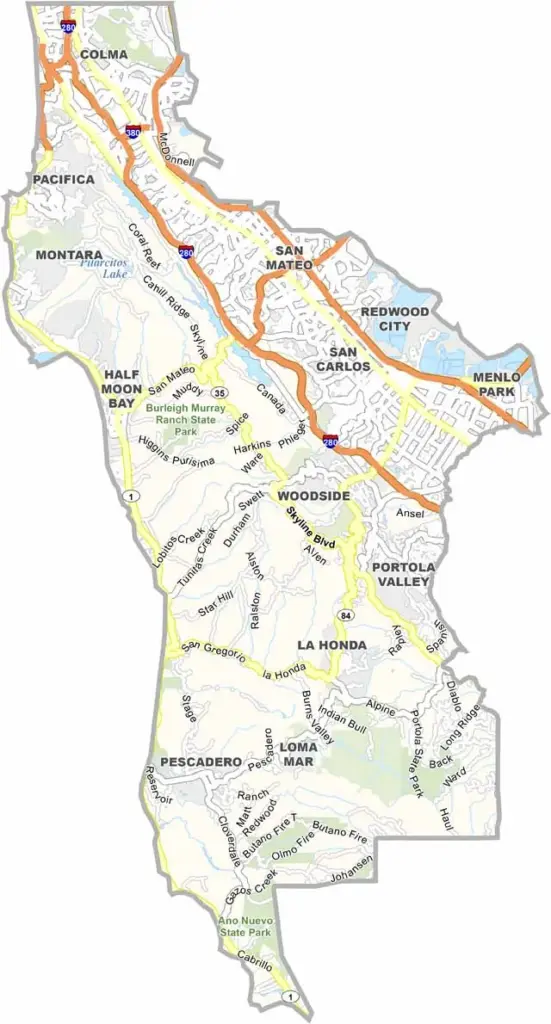
San Mateo County occupies the San Francisco Peninsula, just south of San Francisco. Redwood City serves as the county seat and features a revitalized downtown with a history that stretches back to the region’s early settlement.
With a population of about 730,000 people, San Mateo County is closely connected to the Bay Area’s technology industry. Major companies such as Meta have a presence in the county, while San Francisco International Airport is also located here.
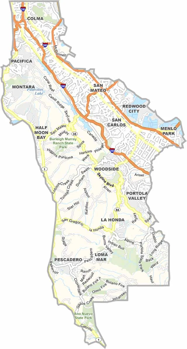
Highways 101 and 280 provide major transportation routes through the county, connecting communities with San Francisco and Silicon Valley. Despite its urban and suburban development, San Mateo County also has plenty of open space, hiking trails, and coastal areas to explore.
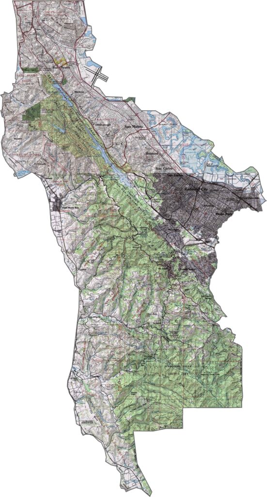
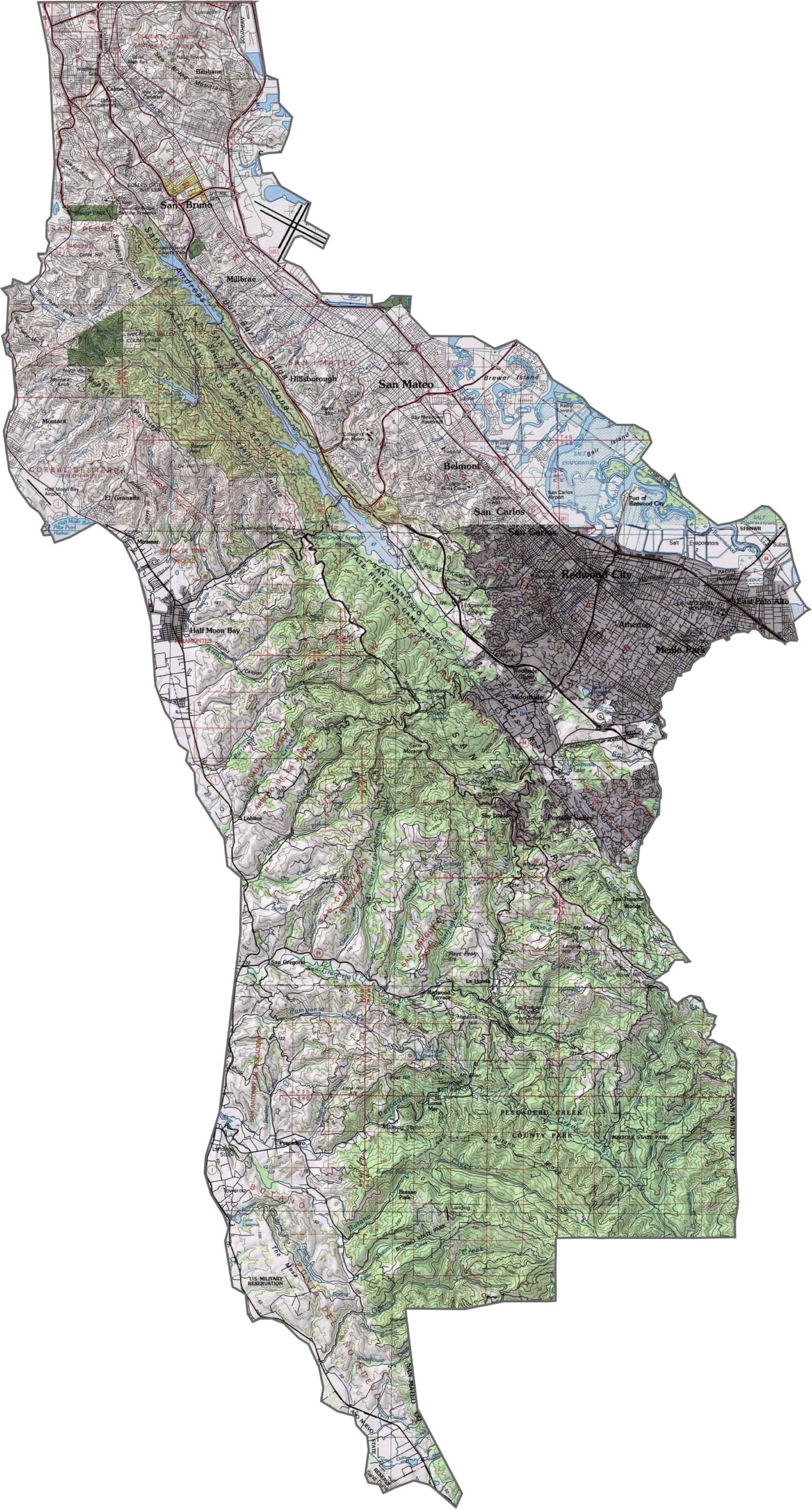
This topographic map highlights San Mateo County’s peninsula landscape between the Pacific Ocean and San Francisco Bay. The terrain includes coastal bluffs, inland valleys, and a north-south ridge of hills running through the peninsula.
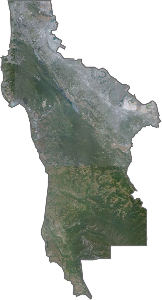
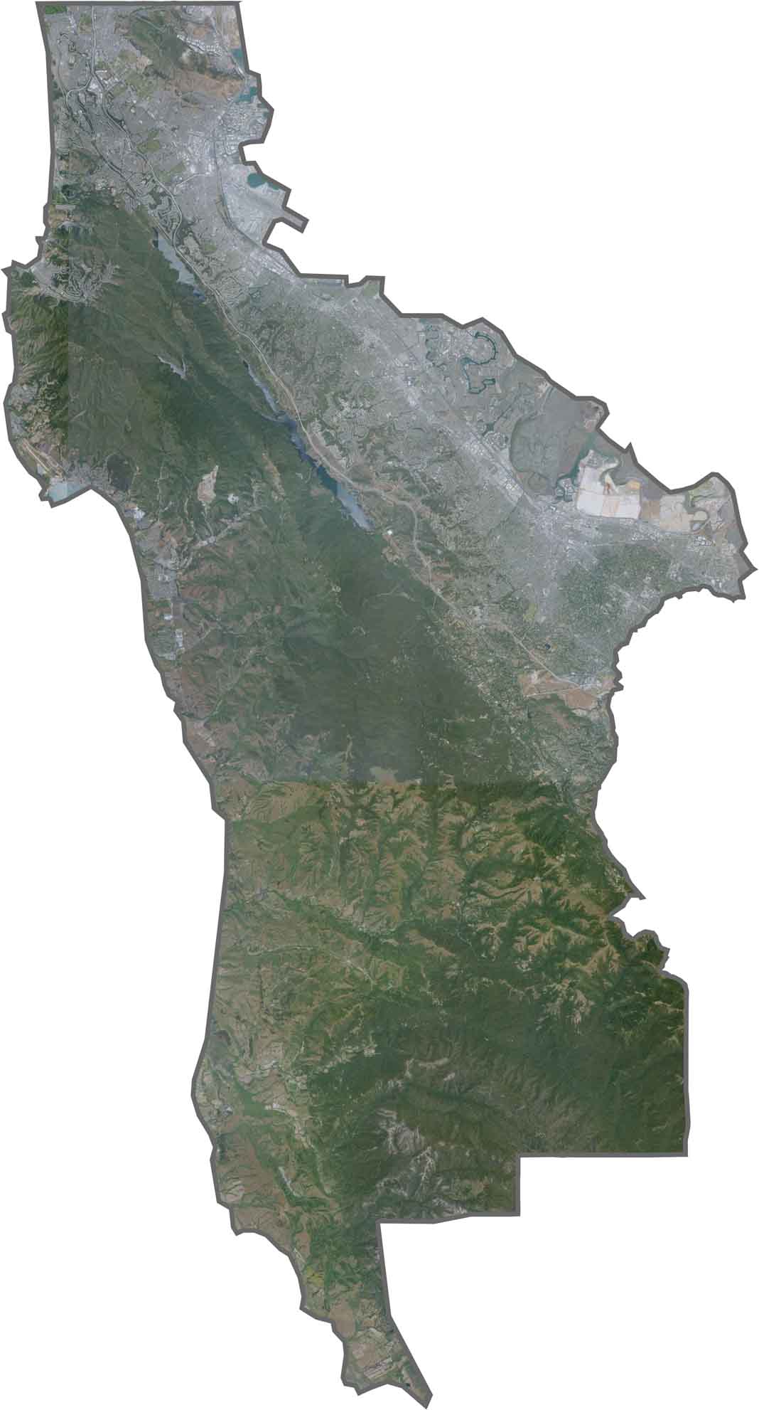
This satellite map shows urban development concentrated along the San Francisco Bay shoreline, while the western slopes facing the Pacific remain comparatively open and less developed. The contrast between built-up areas and natural landscapes is especially clear from above.
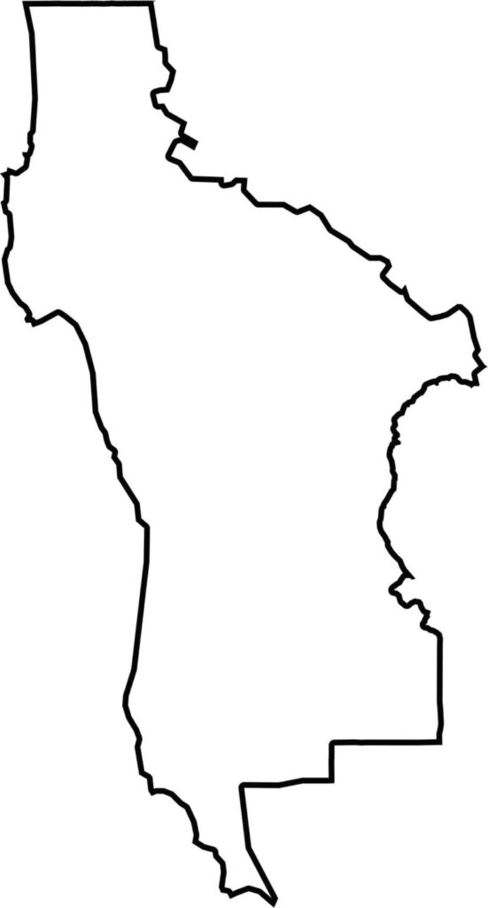
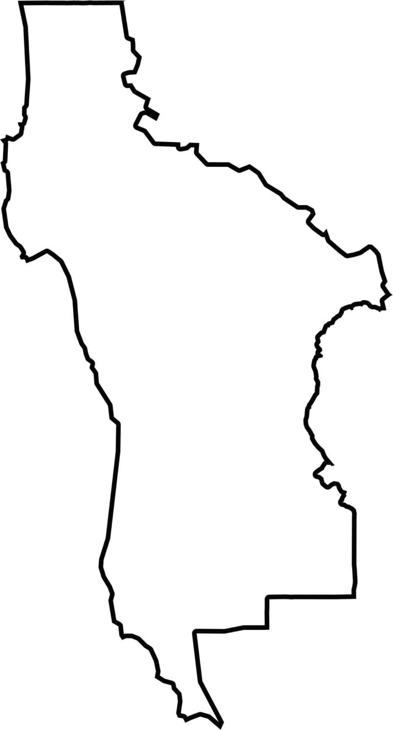
This blank map outlines San Mateo County’s long, narrow shape on the San Francisco Peninsula. The western edge follows the Pacific coastline, while the eastern boundary borders San Francisco Bay.







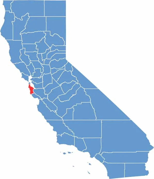
Ever wonder how California’s 58 counties are organized? Our California county map lays them all out, from the Pacific Coast to the vast desert regions. Explore the map to find the counties you know—and perhaps discover a few you don’t.