
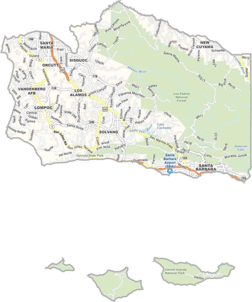
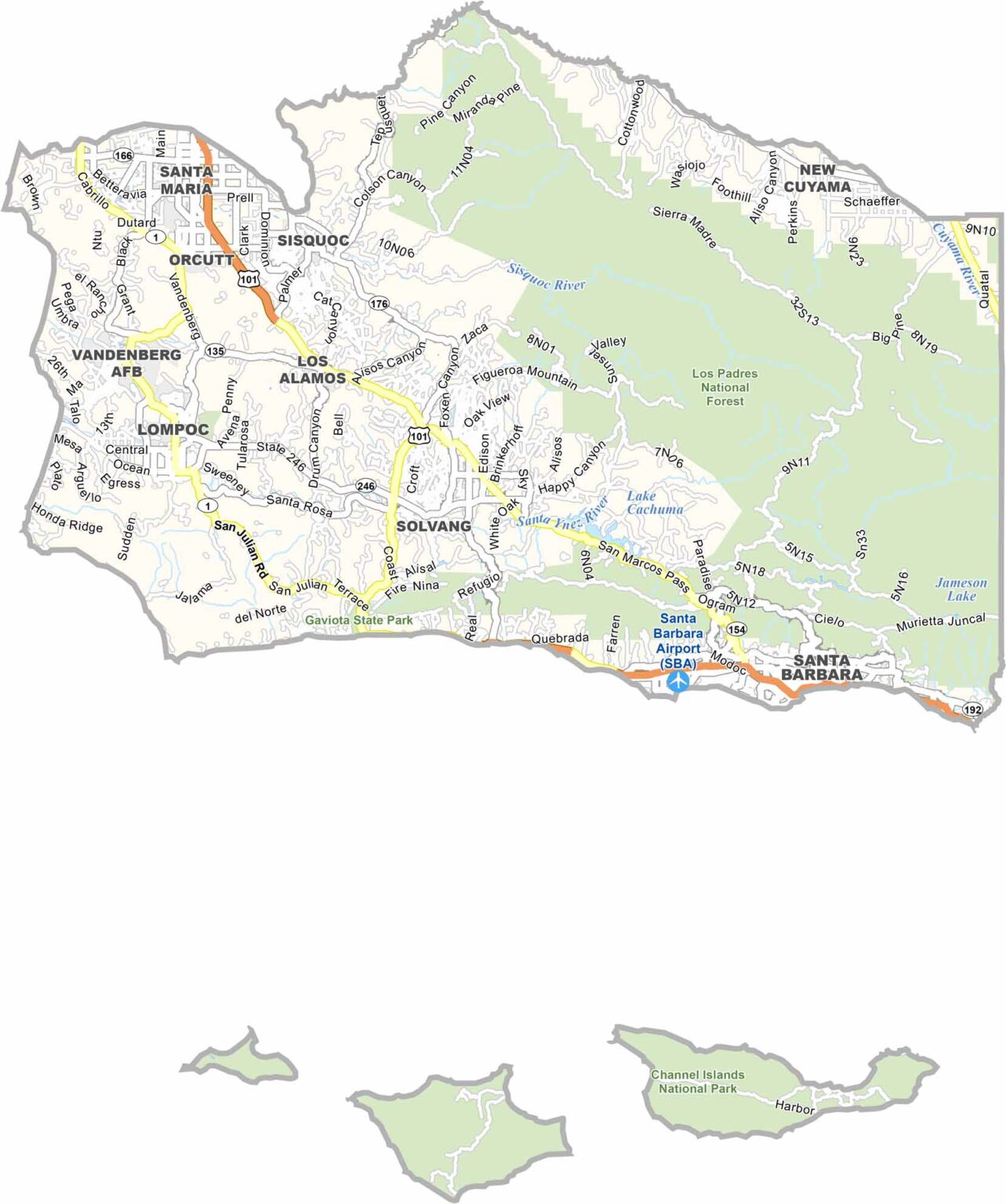
Santa Barbara County is located along the California coast northwest of Los Angeles. The county includes communities such as Santa Maria, known for its famous barbecue, as well as beautiful beaches and the nearby Channel Islands.
Highway 101 follows the coast and connects communities including Carpinteria and Goleta. The region is also famous for its wineries, especially around Los Olivos and Solvang, where visitors can enjoy local wines and scenic countryside.
The University of California, Santa Barbara adds a youthful energy to the area. Los Padres National Forest covers much of the northeastern part of the county, while Channel Islands National Park lies offshore to the south. Although Santa Barbara County is expensive, its beaches, mountains, vineyards, and coastal scenery make it a spectacular place to visit.
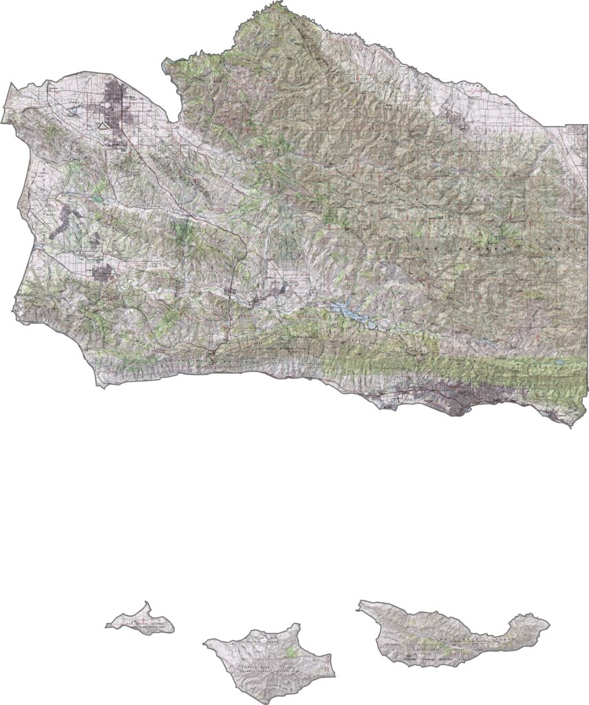
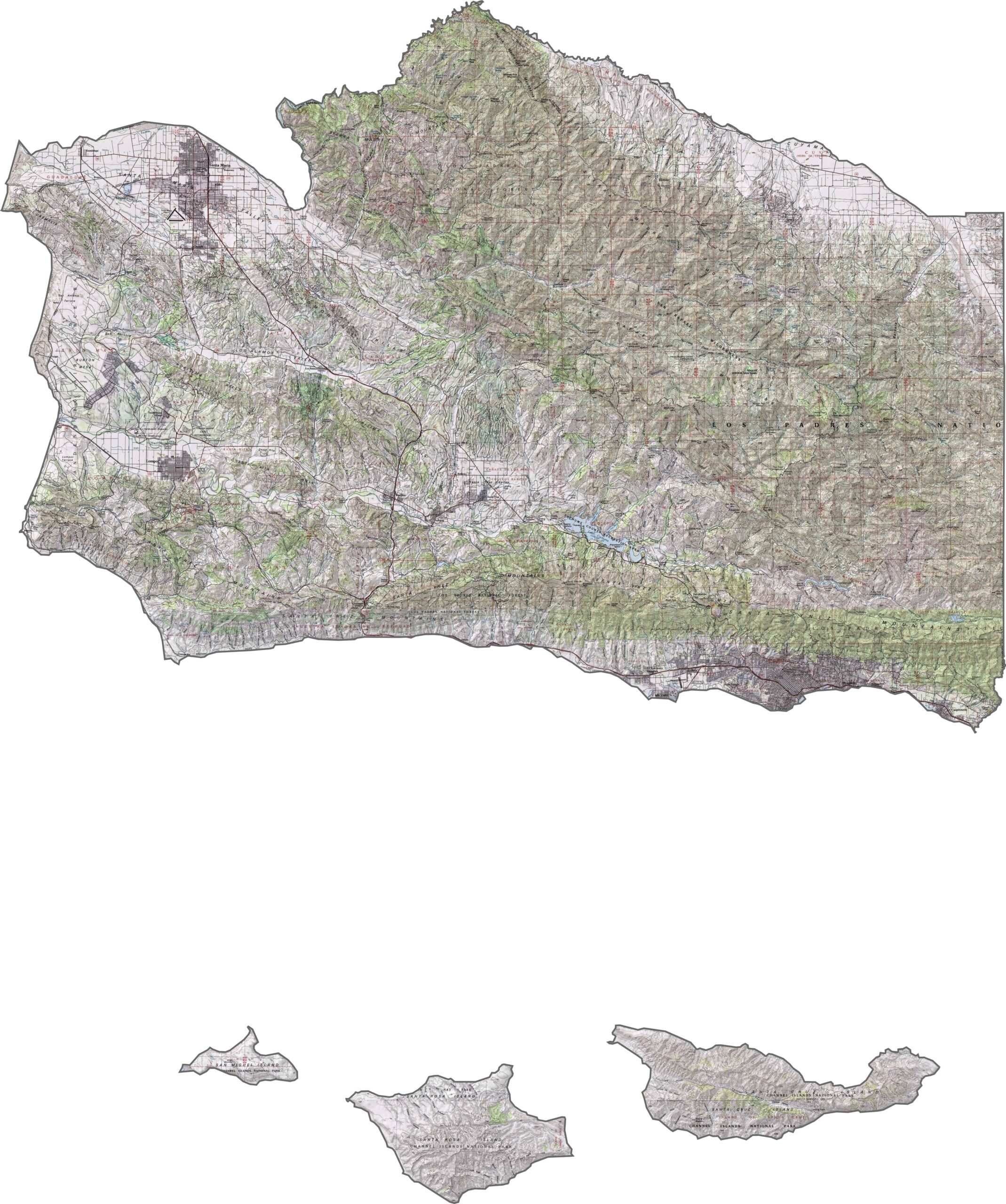
This topographic map highlights Santa Barbara County’s diverse coastal and mountain terrain, including offshore islands, coastal plains, and the prominent east-west trending Santa Ynez Mountains.
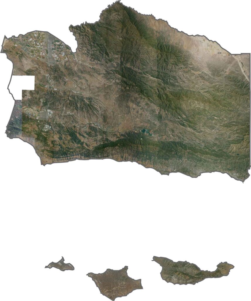
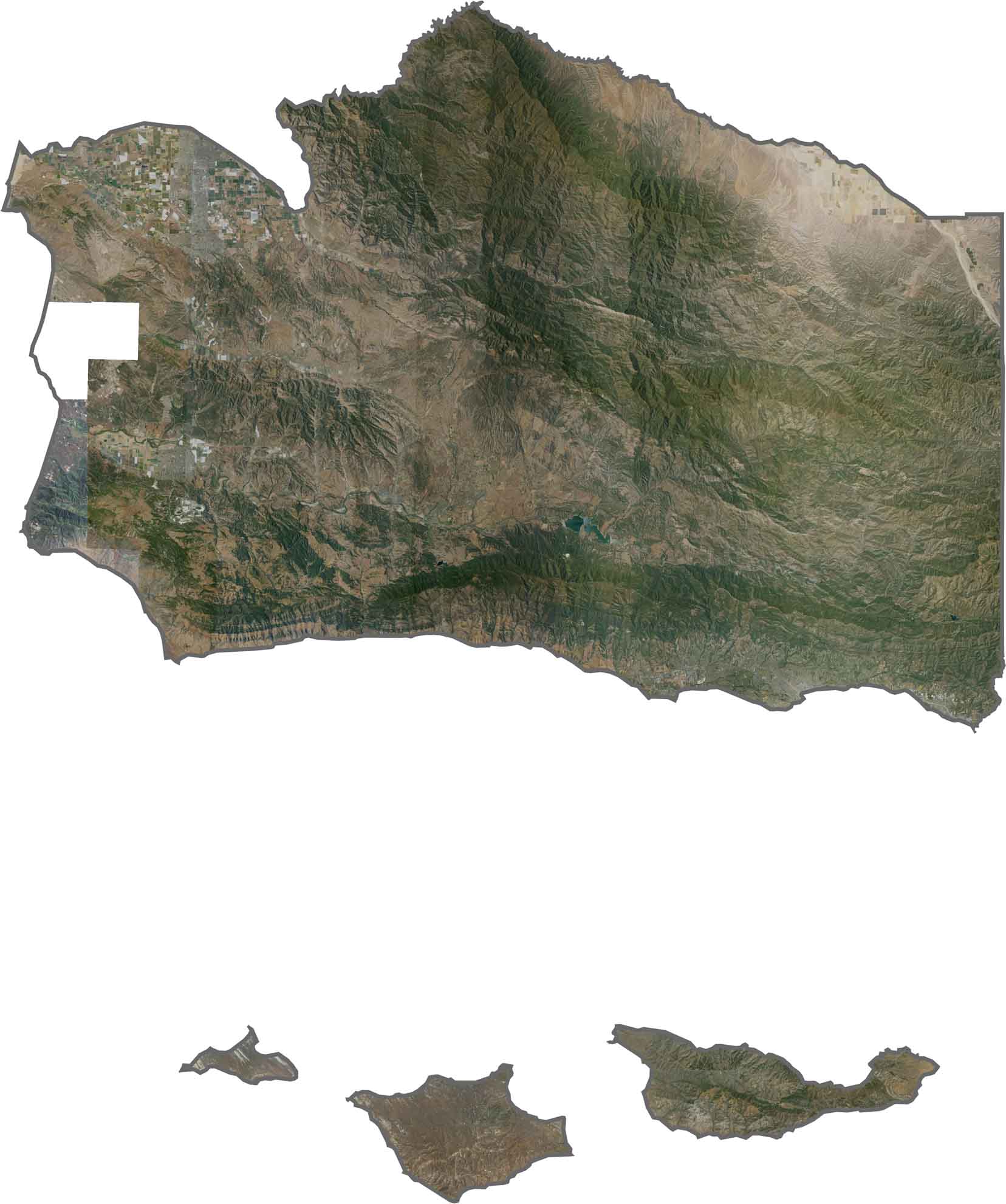
This satellite map reveals the county’s distinctive parallel mountain ridges and valleys. The Santa Ynez Valley forms an important agricultural corridor between the surrounding mountain ranges.
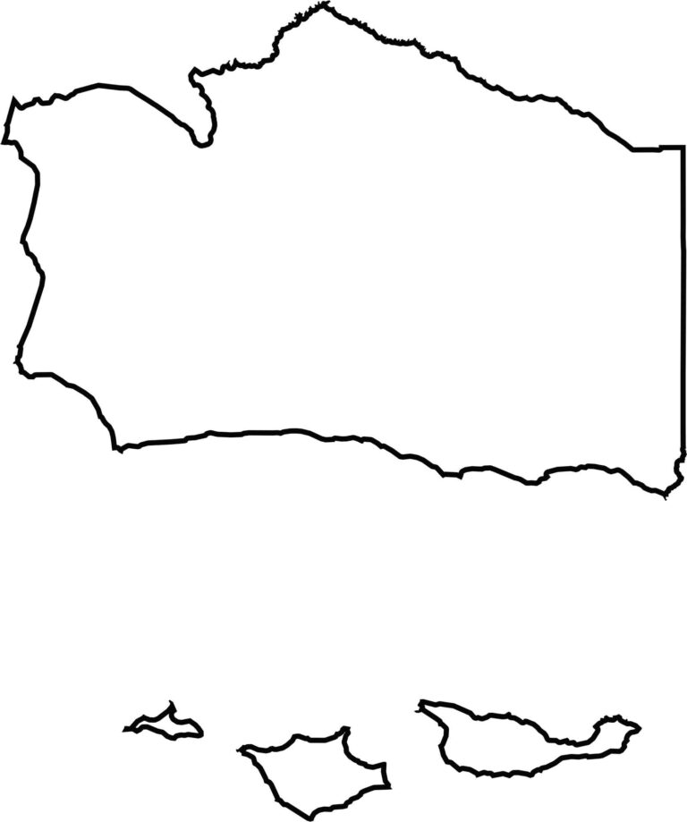
This blank map outlines Santa Barbara County’s elongated shape along California’s central coast. The northern portion follows the unusual east-west alignment of the Santa Ynez Mountains, creating a distinctive county boundary.








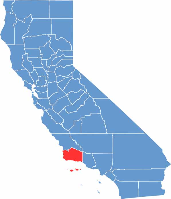
Ever wonder how California’s 58 counties are organized? Our California county map lays them all out, from the Pacific Coast to the vast desert regions. Explore the map to find the counties you know—and perhaps discover a few you don’t.