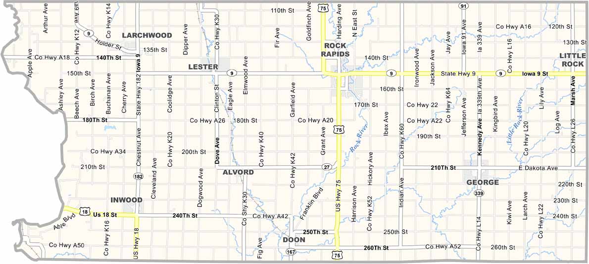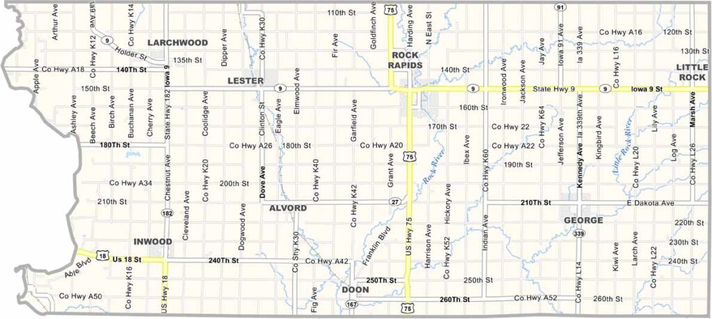
Lyon County, Iowa

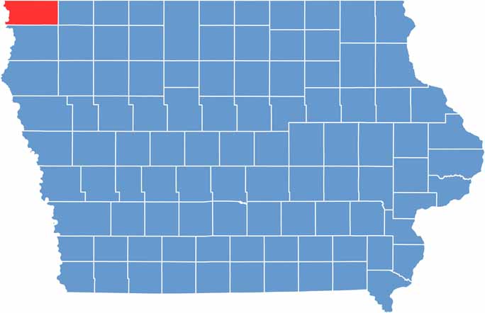
Lyon County occupies the northwestern corner of Iowa and borders both South Dakota and Minnesota. It was named after Nathaniel Lyon, the first Union general killed during the Civil War.

The county is home to Iowa’s newest state park, Good Earth at Blood Run, which preserves an important Native American cultural site.

Rock Rapids serves as the county seat and gets its name from the rapids in the Rock River that flows through town. With around 12,000 residents, Lyon County is known for its strong agricultural roots.

CategoryDetails
County NameLyon County
County SeatRock Rapids
EtymologyNamed after Nathaniel Lyon, a Union general during the Civil War
Cities, Towns, and CommunitiesRock Rapids, George, Lester, and several unincorporated communities including Doon and Inwood
Interstates and HighwaysU.S. Highway 75, Iowa Highway 9, Iowa Highway 27
FIPS Code19-119
Total Area (Land and Water)768 square miles (land: 766 sq mi, water: 2 sq mi)
Adjacent Counties (and Direction)Rock County, Minnesota (North), Nobles County, Minnesota (Northeast), Osceola County (East), Sioux County (South), Lincoln County, South Dakota (West), Minnehaha County, South Dakota (Northwest)
Time ZoneCentral Time Zone (CST)
Population12,000
StateIowa
Coordinates43.40°N, 96.16°W
Major LandmarksLake Pahoja, Rock Rapids Historical Society Museum, and the Lyon County Fairgrounds
Scroll to Top