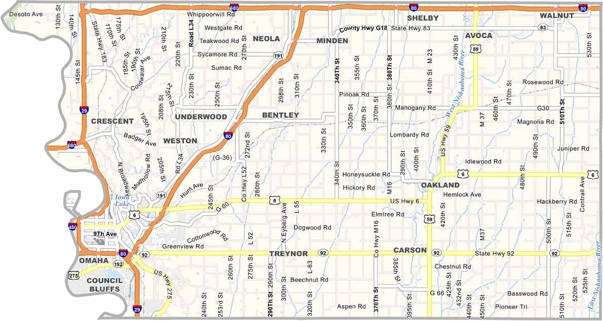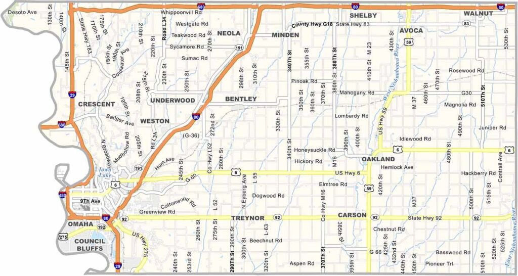
Pottawattamie County, Iowa

Pottawattamie County stretches along Iowa’s western border. Its name, derived from a Native American tribe, is definitely a mouthful. Council Bluffs, the county seat, sits directly across the Missouri River from Omaha, Nebraska.

The county played an important role in the Mormon Trail and the transcontinental railroad. You can learn more about both at the Union Pacific Railroad Museum.

With about 93,000 residents, Pottawattamie County is one of Iowa’s larger counties. Lake Manawa State Park offers a beach and boating, which is a rare find in western Iowa. Council Bluffs is also nicknamed the “Black Squirrel Capital of the World.”
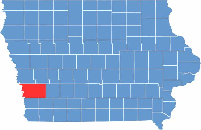

CategoryDetails
County NamePottawattamie County
County SeatCouncil Bluffs
EtymologyNamed after the Potawatomi tribe, a Native American group that lived in the region
Cities, Towns, and CommunitiesCouncil Bluffs, Avoca, Glenwood, Neola, Oakland, Underwood, and several smaller communities
Interstates and HighwaysInterstate 29, Interstate 80, U.S. Highway 6, U.S. Highway 275
FIPS Code19-155
Total Area (Land and Water)959 square miles (land: 950 sq mi, water: 9 sq mi)
Adjacent Counties (and Direction)Harrison County (North), Shelby County (Northeast), Cass County (East), Montgomery County (Southeast), Mills County (South), Sarpy County, Nebraska (Southwest), Douglas County, Nebraska (West), Washington County, Nebraska (Northwest)
Time ZoneCentral Time Zone (CST)
Population170,000
StateIowa
Coordinates41.26°N, 95.86°W
Major LandmarksThe Historic 100 Block, Union Pacific Railroad Museum, and the Lewis and Clark Monument
Scroll to Top