
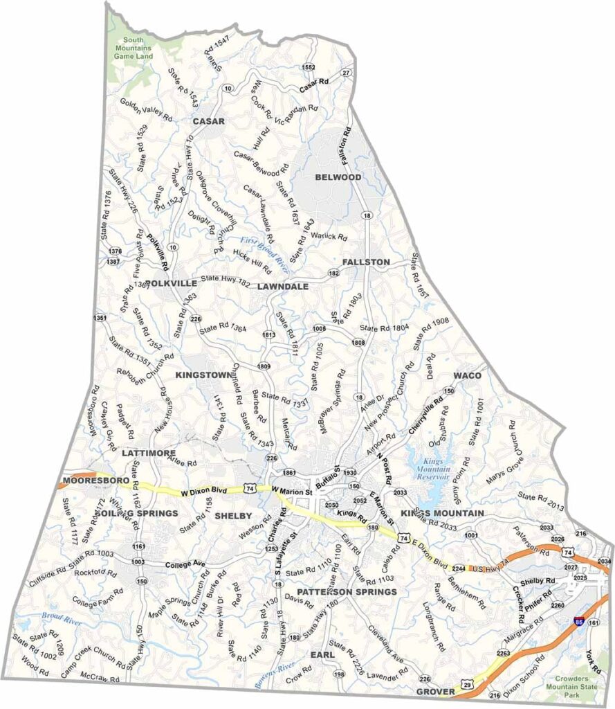
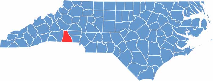
Cleveland County lies in the western Piedmont region of North Carolina. It’s named after Benjamin Cleveland, a hero of the American Revolution.
Shelby, the county seat, has a rich musical heritage. Earl Scruggs, the famous banjo player, was born near here. The county has a mix of rural charm and small-city amenities.
Agriculture is still important, but manufacturing has become a big part of the economy too. The Cleveland County Fair is a major event each year, and people come from all over to enjoy the rides, food, and exhibits.
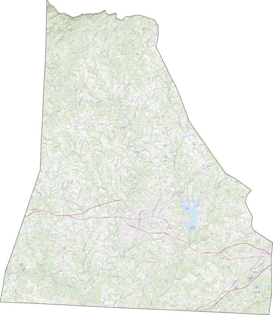
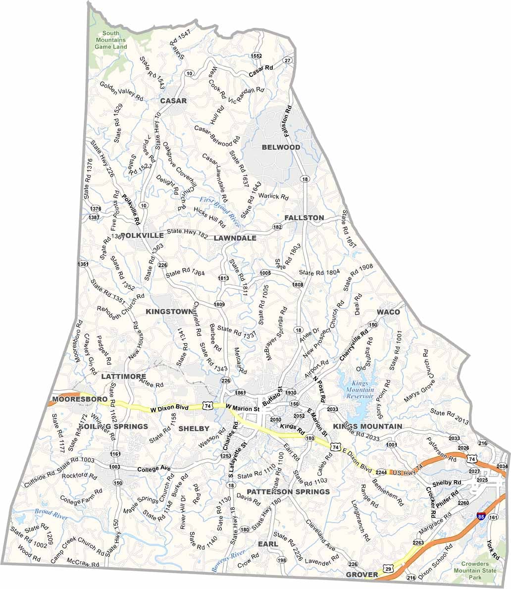
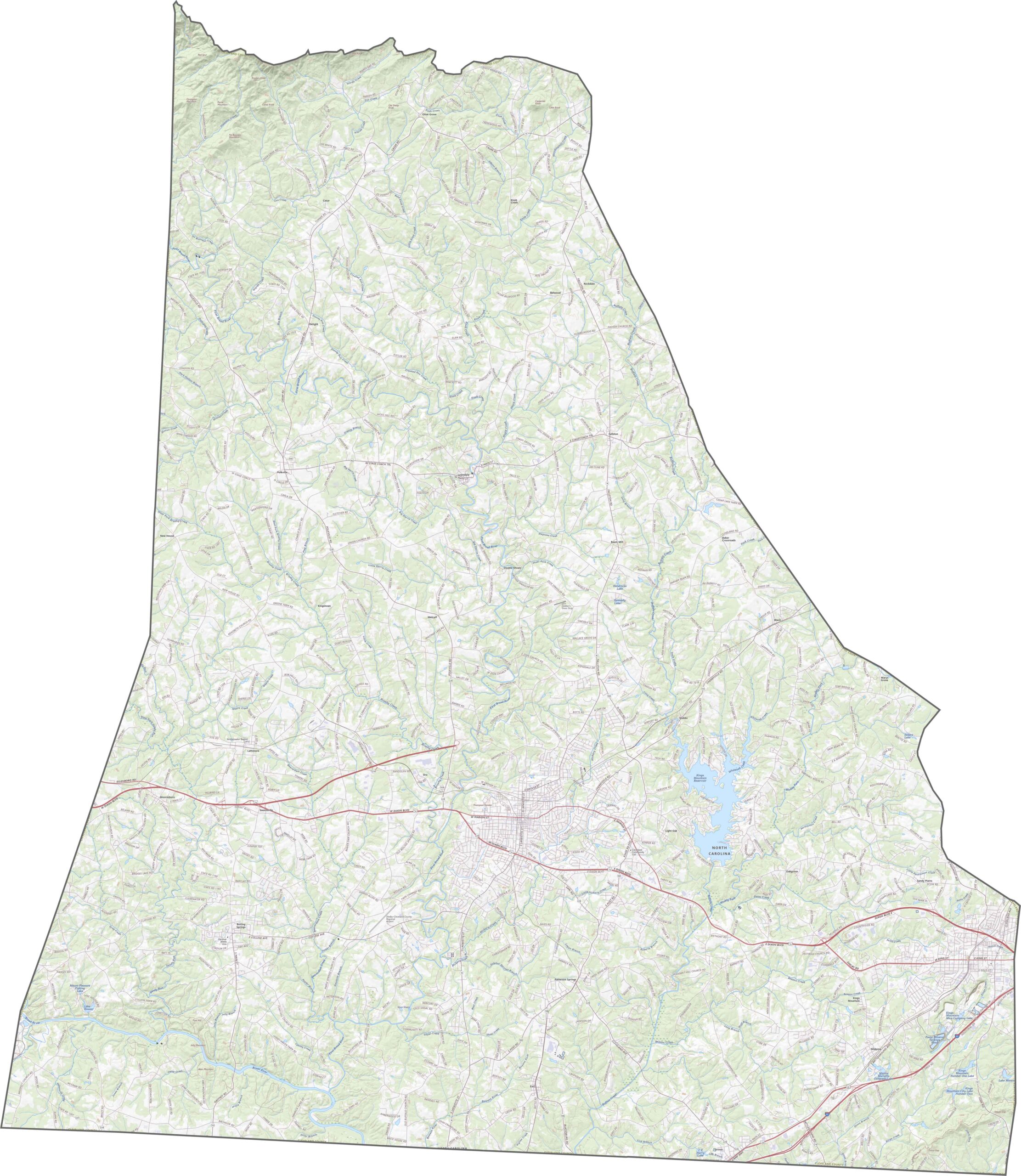
Cleveland County has both options: rural roads and big routes. U.S. Route 74 is the standout, slicing west to east through Shelby. Though it’s not an interstate, it’s treated like one in parts. Many areas still rely on smaller highways like NC 226 and NC 150. You can follow each path in detail with our road map’s zoom feature.
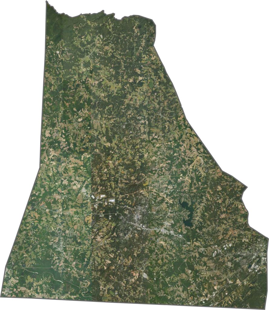
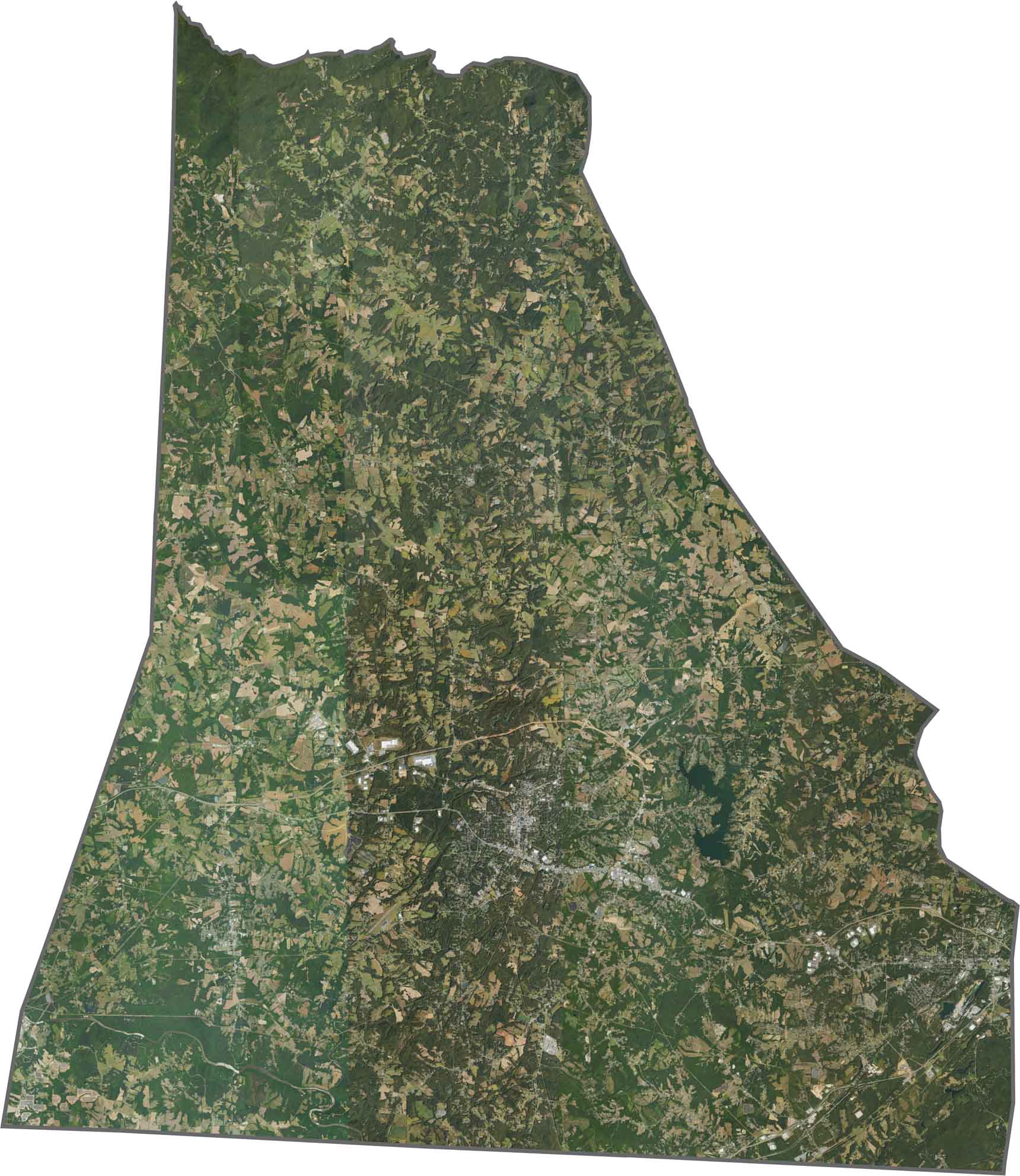
From above, Shelby shows up as a tight grid surrounded by fields. Forests are dense in the west and southeast. Though the land is rural in feel, it’s full of patterns, with farming rows, back roads, and creeklines.
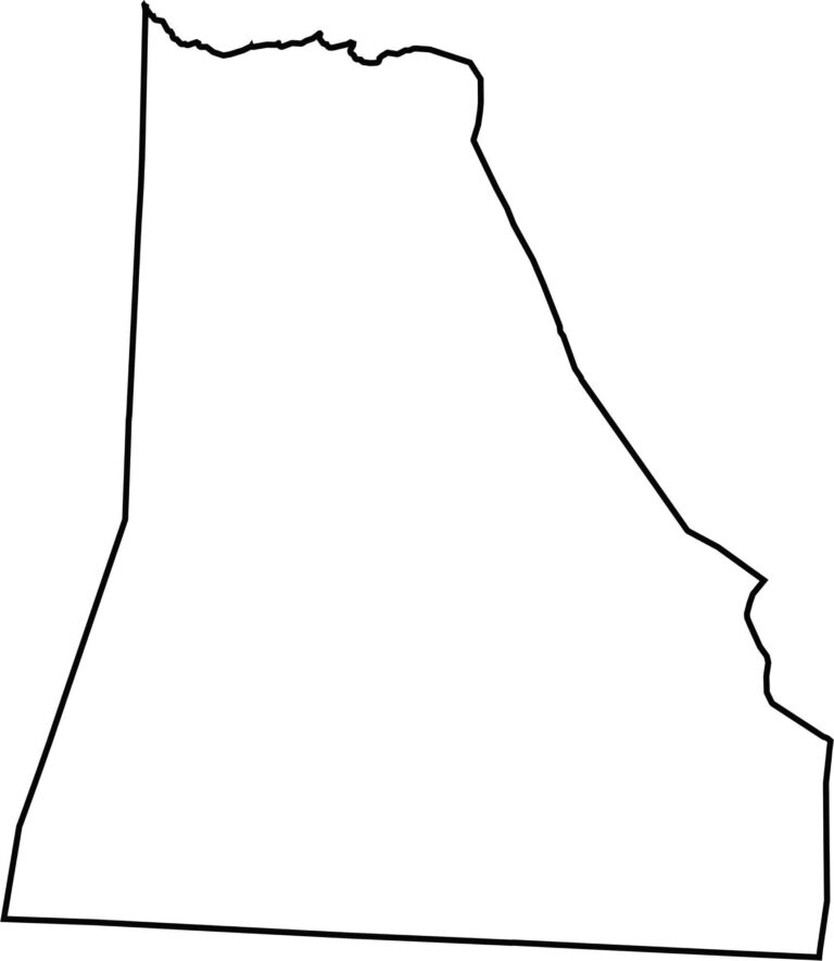
Cleveland County is thick on the bottom and thins out at the top. Its southern border follows the state line with South Carolina.








North Carolina’s 100 counties each have their own personality. Some embrace beach life, while others are known for barbecue or bluegrass. Sometimes, you’ll find all three in one place. Across the state, there are waterfalls, farmland, and NASCAR.