
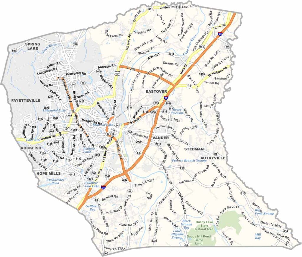
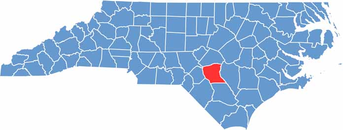
Cumberland County is right in the heart of North Carolina. It’s home to Fayetteville, a city with deep military roots. You can’t miss the Market House in downtown Fayetteville.
Fort Bragg, one of the largest military installations in the world, is here. The county has a diverse population thanks to the constant influx of people from all over.
The Cape Fear River runs through the county, offering plenty of recreational opportunities. It’s a dynamic place and a symbol of the county’s history. Always changing, always growing, but it never forgets its roots.
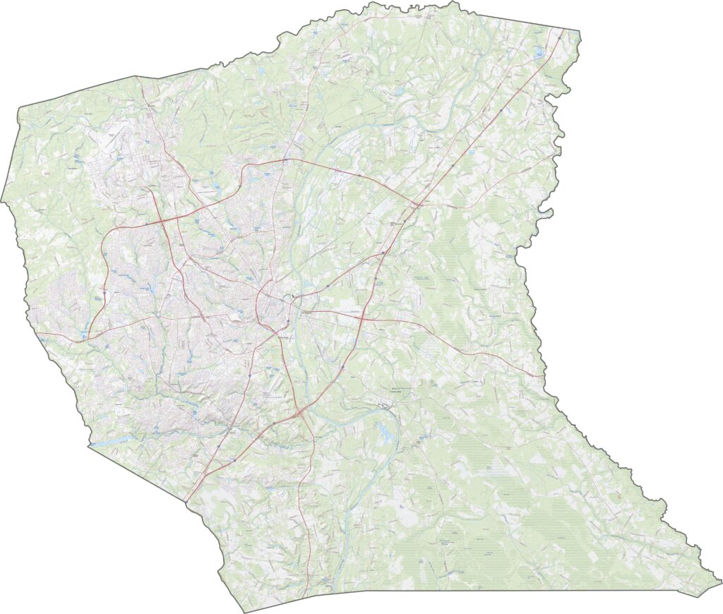
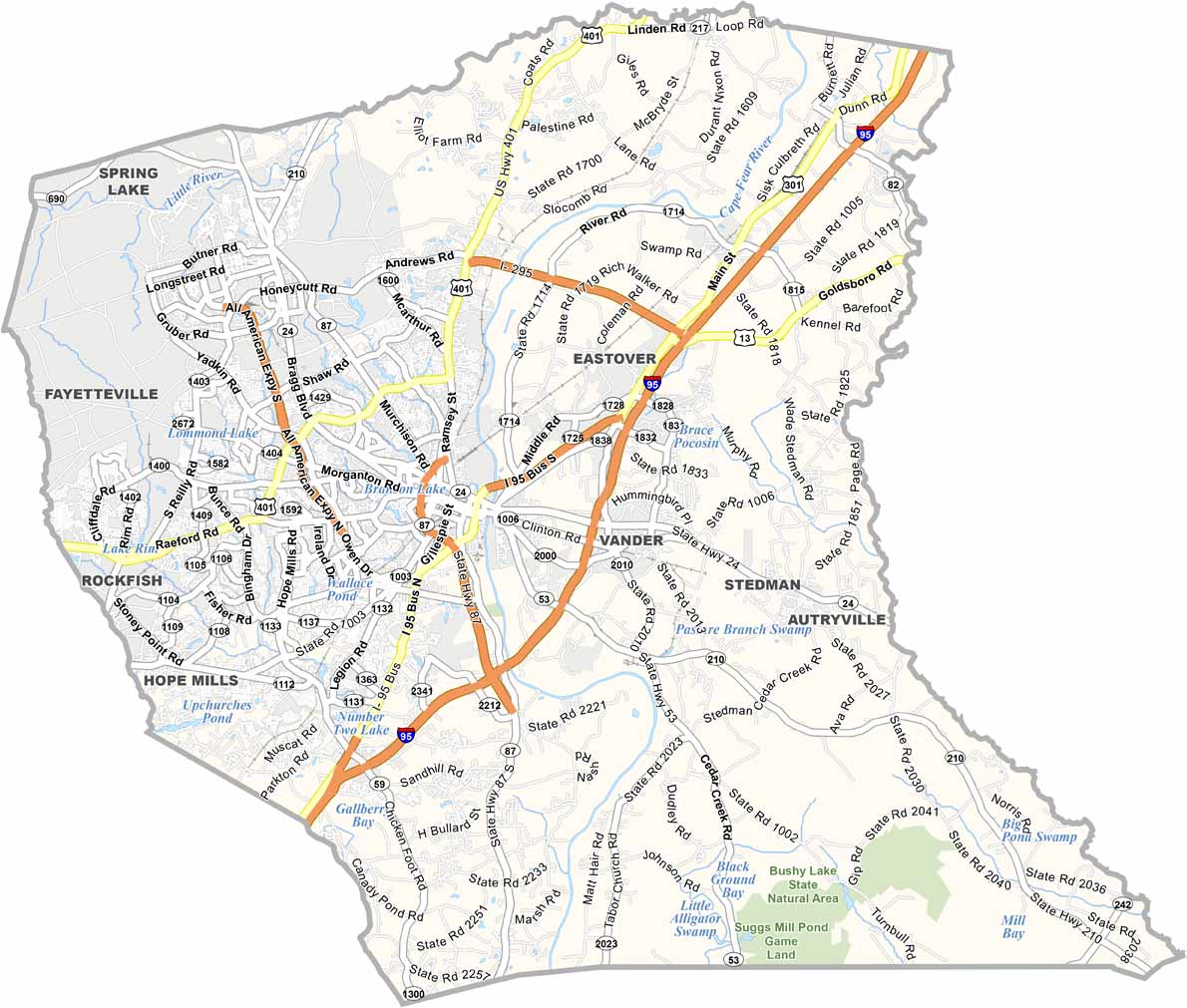
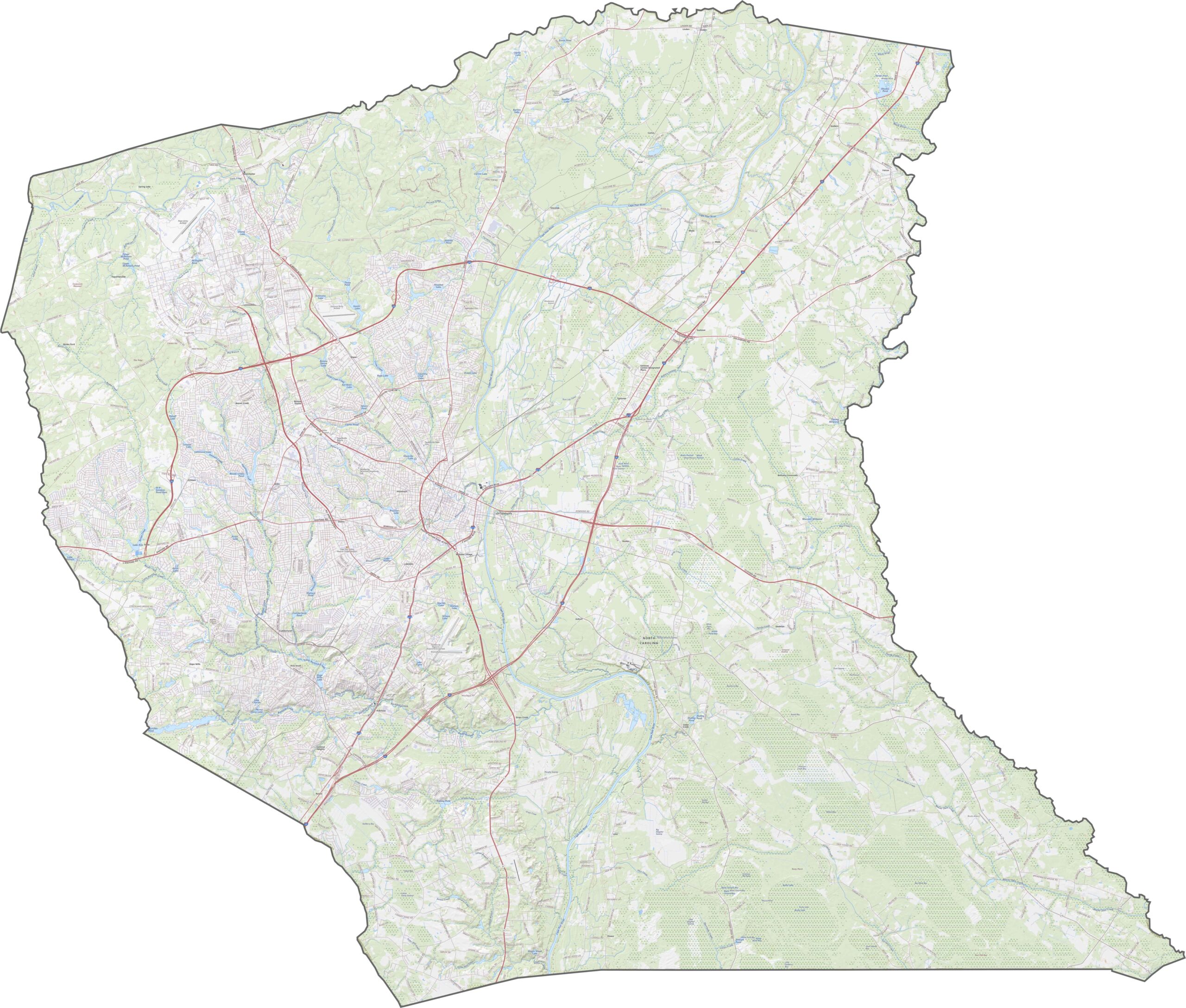
Interstates take center stage here. Interstate 95 runs diagonally through the county. Though Interstate 295 loops around Fayetteville, it’s still growing. U.S. Route 401 and U.S. Route 301 also pass through, giving travelers more options. Zoom in on our map to see how it all connects.
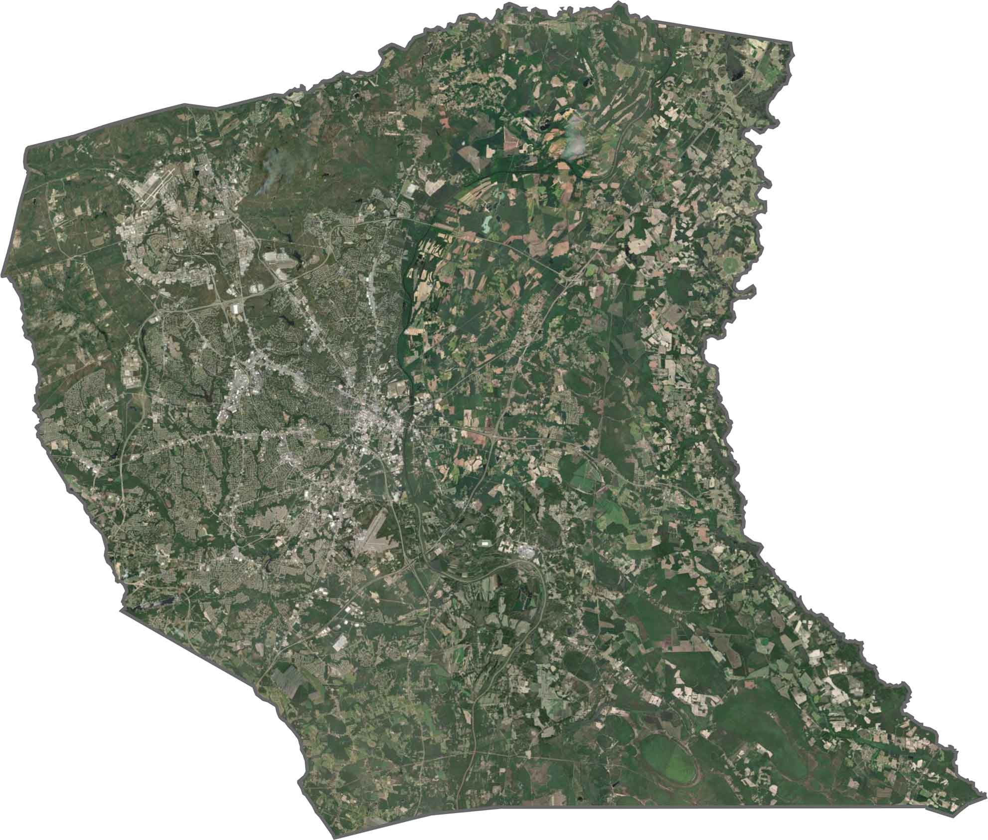
Fayetteville is a wide gray urban center in the middle. Fort Liberty (formerly Fort Bragg) dominates the northwest with its training zones. But in between, you’ll see dark forests and green farmland. Though development is heavy, pockets of nature remain visible from above.
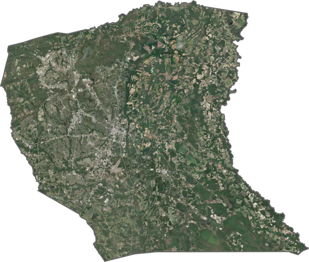
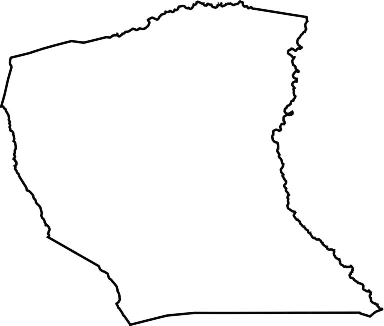
The shape is almost like a chunk bitten out on all sides. The South River forms much of the eastern boundary. Both Stewarts Creek and Little Rockfish Creek form its western border.








North Carolina’s 100 counties each have their own personality. Some embrace beach life, while others are known for barbecue or bluegrass. Sometimes, you’ll find all three in one place. Across the state, there are waterfalls, farmland, and NASCAR.