
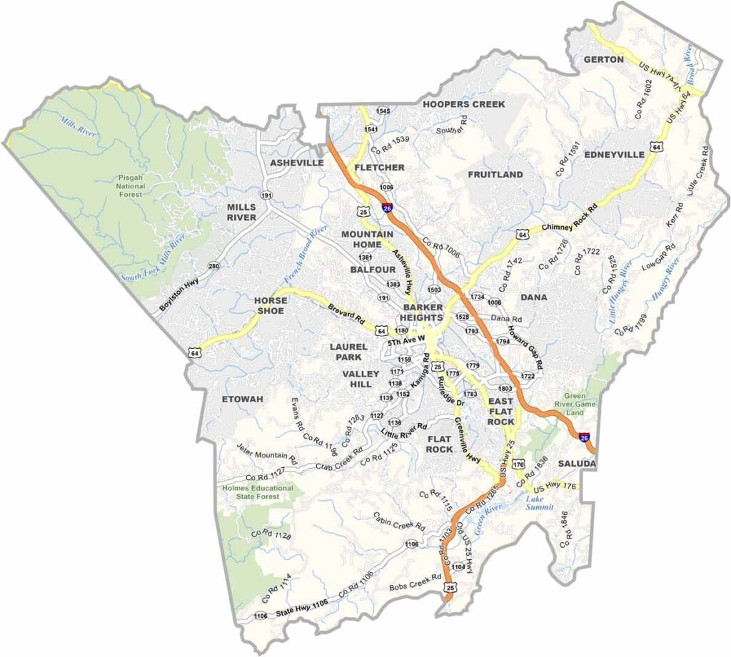
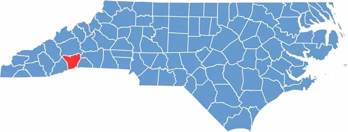
Henderson County is in the Blue Ridge Mountains region of western North Carolina. Hendersonville, the county seat, is known as the “City of Four Seasons.” It’s a popular retirement destination.
The area is famous for its apple orchards, and it’s one of the largest apple-producing counties in North Carolina. DuPont State Recreational Forest is a local treasure, and it’s where parts of “The Hunger Games” were filmed.
The county has a thriving arts community, so you’ll find galleries, theaters, and music venues throughout. Historic Main Street in Hendersonville is a must-visit. Finally, the Carl Sandburg Home National Historic Site is here to preserve the legacy of the famous poet.
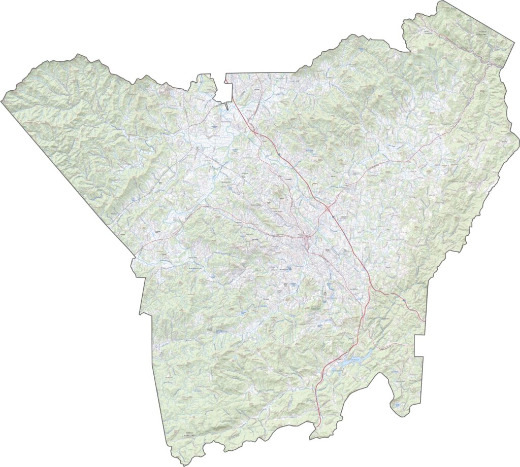
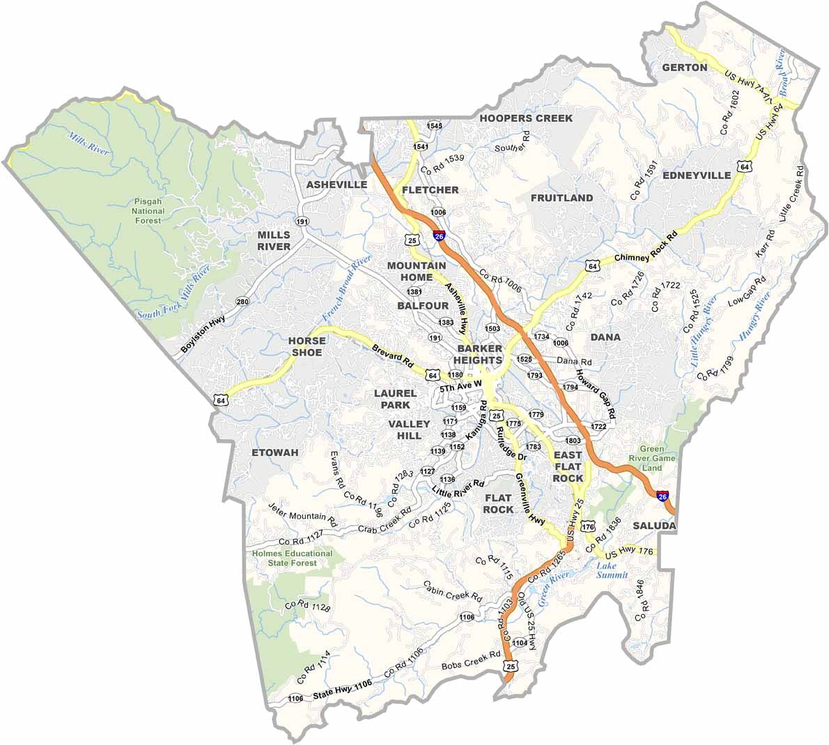
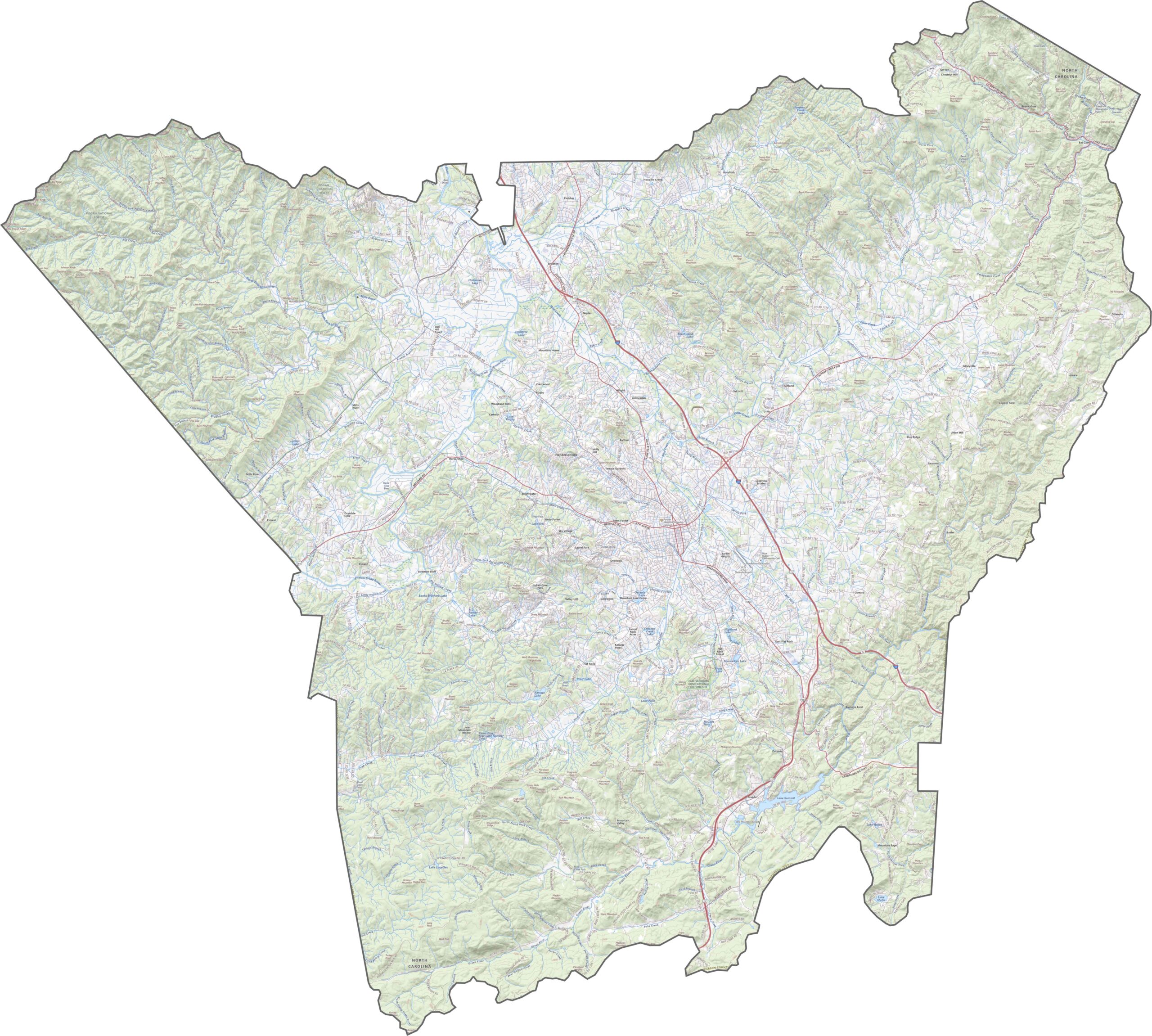
Mountain roads twist around forests and ridges in Henderson County. Interstate 26 cuts across the county from northwest to southeast, while U.S. Route 64 runs east-west, connecting towns like Hendersonville and Etowah. Zoom into our road map below to follow every curve.
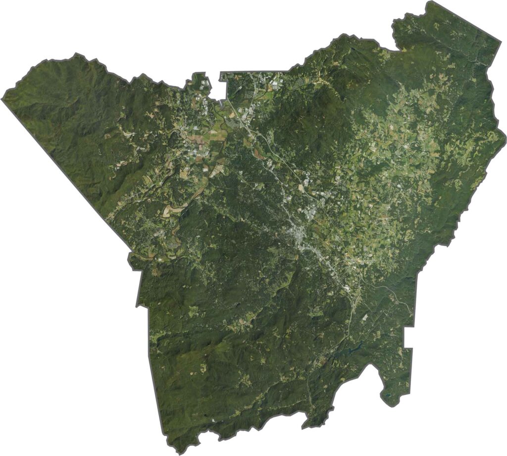
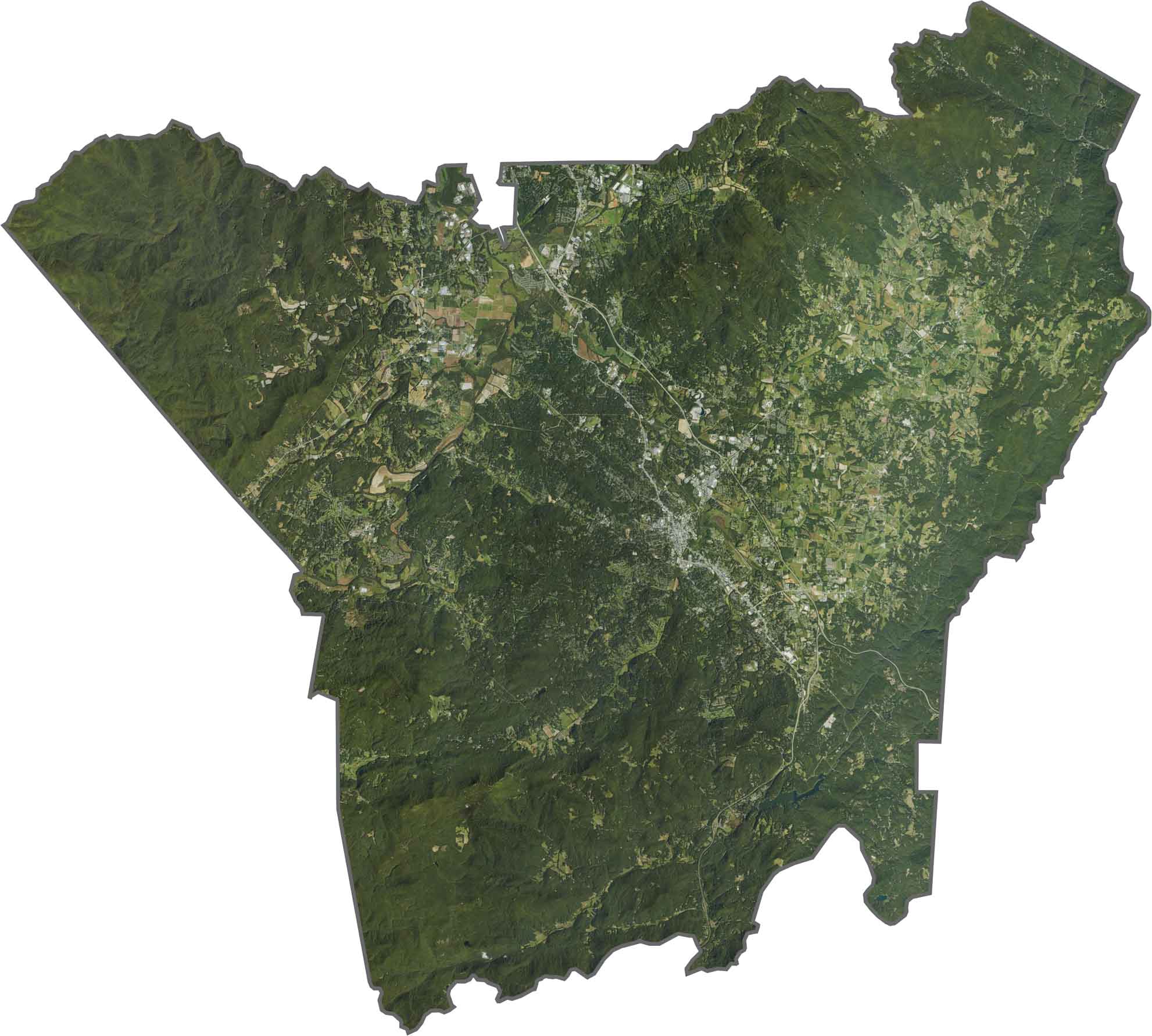
Forests dominate, dark and thick from space. Hendersonville appears as light gray in the middle, surrounded by green. Though scattered urban areas show up, nature is still in charge here.
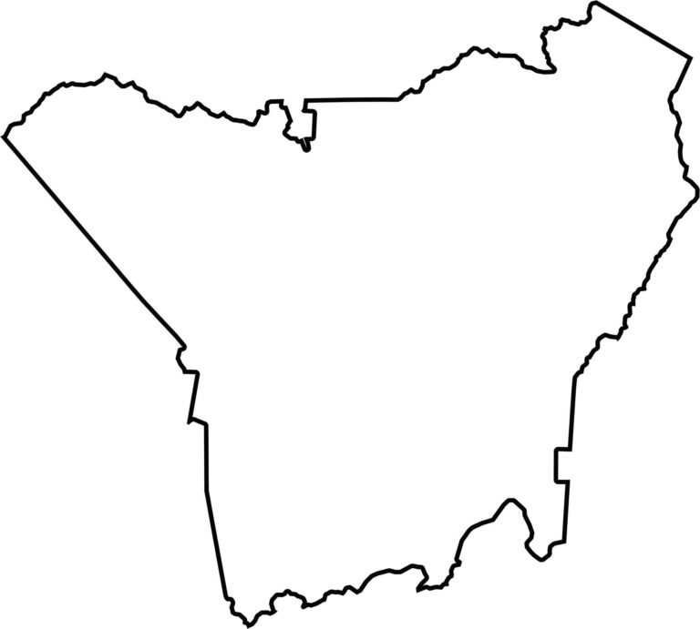
The shape of Henderson County is uneven, with corners carved by mountains. It borders South Carolina to the south.








North Carolina’s 100 counties each have their own personality. Some embrace beach life, while others are known for barbecue or bluegrass. Sometimes, you’ll find all three in one place. Across the state, there are waterfalls, farmland, and NASCAR.