
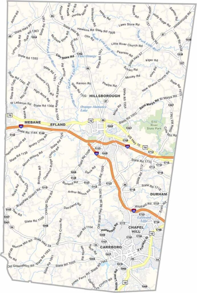
Orange County sits in the Piedmont region of central North Carolina. Universities shape the culture here, and Chapel Hill is home to UNC, one of the oldest public schools in the U.S.
Hillsborough, the county seat, is situated more toward the center of the county. Local farmers' markets are popular year-round, and you'll find some great hiking trails in the nearby mountains.
The county has a thriving food scene and is known for its progressive politics. It's a place where Southern traditions meet modern thinking, and Orange County attracts creative types from all over.
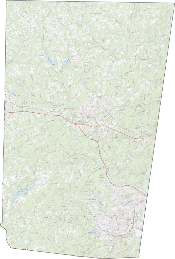
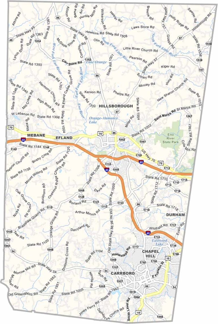
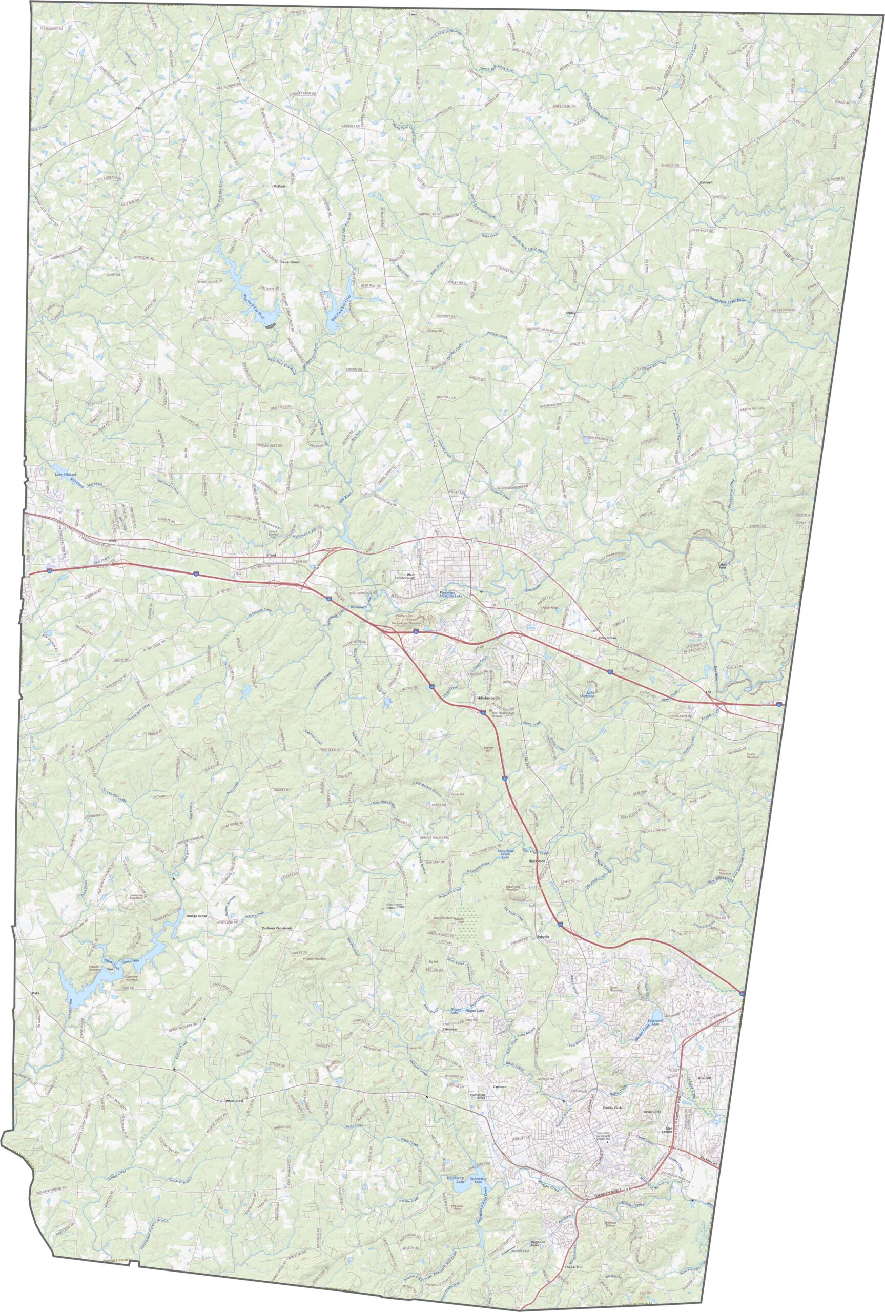
College towns and countryside create an unusual mix of roads. Interstate 40 and Interstate 85 merge briefly in the southern part of the county before splitting again. U.S. Route 70 and NC 86 run north of Hillsborough. Our map's zoom tool helps make sense of the road network here.
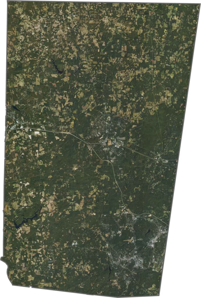
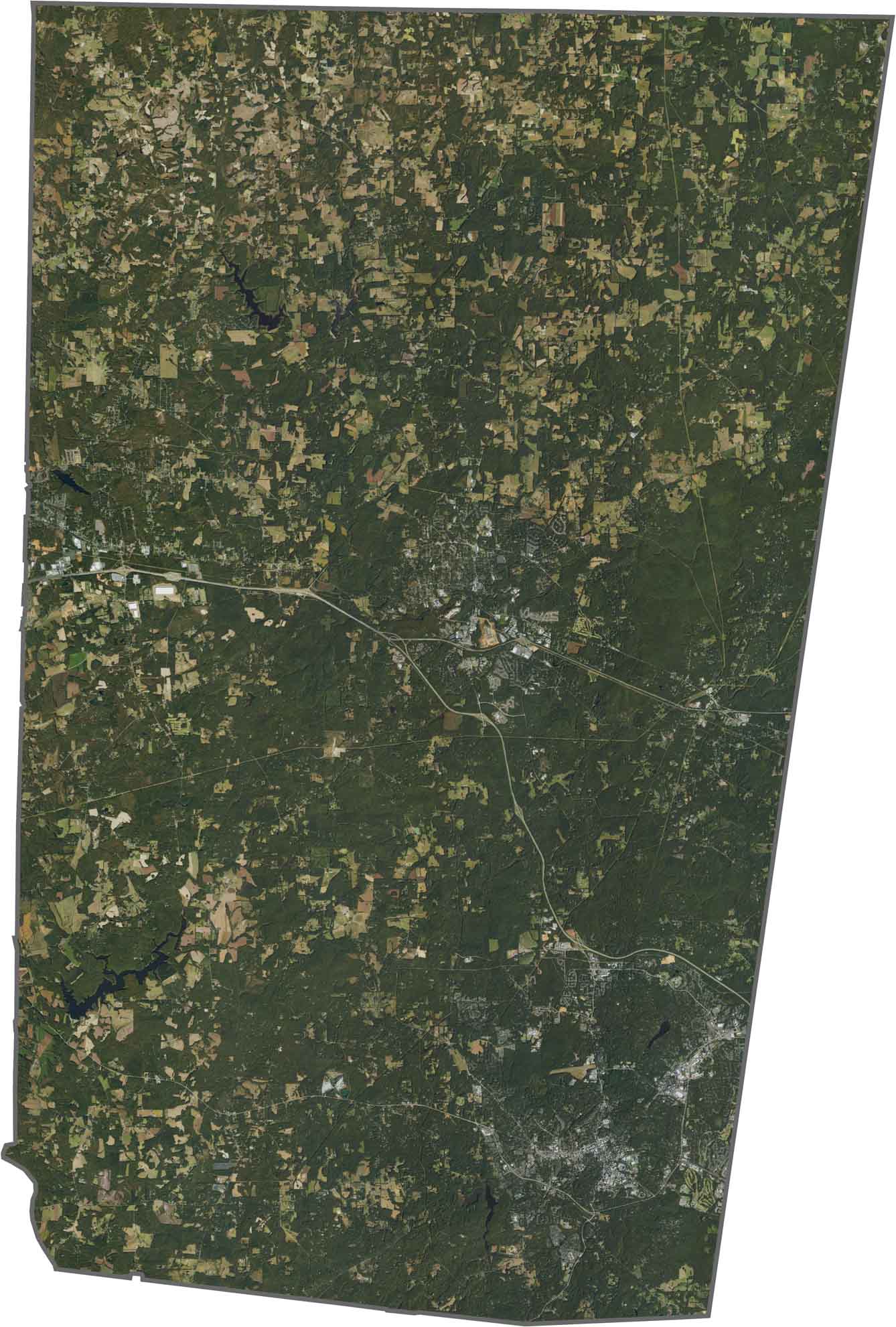
Chapel Hill is leafy even from above, with neighborhoods blending into the trees. Hillsborough is smaller but distinct. Forests blanket the north and west, while fields spread across the southern edge. Despite all the development, the green canopy still dominates our satellite imagery.
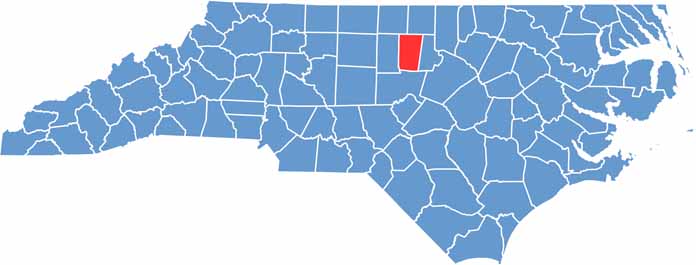
Orange County is almost rectangular in shape and tall from top to bottom. The county doesn't touch any other states and is completely within North Carolina.









North Carolina’s 100 counties each have their own personality. Some embrace beach life, while others are known for barbecue or bluegrass. Sometimes, you’ll find all three in one place. Across the state, there are waterfalls, farmland, and NASCAR.