
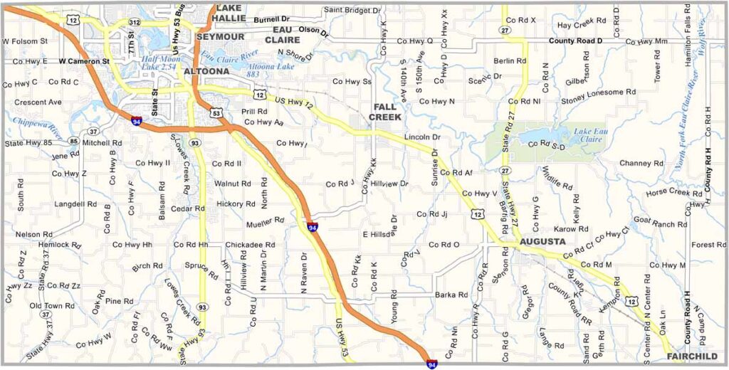
Rivers shape the story of Eau Claire County in west-central Wisconsin. The Eau Claire River and Chippewa River meet in the county seat, also named Eau Claire.
It’s a former lumber town turned creative hub. Music festivals draw crowds during the summer, while the county’s mix of urban and rural areas appeals to many residents and visitors. You’ll find trendy cafes and working farms within a short drive of each other.
Outdoor recreation is a major attraction here. Locals enjoy tubing down the rivers on hot summer days, while the Chippewa Valley Trail System connects communities throughout the area. Fall brings apple picking and corn mazes, making Eau Claire County a place that balances progress with tradition.
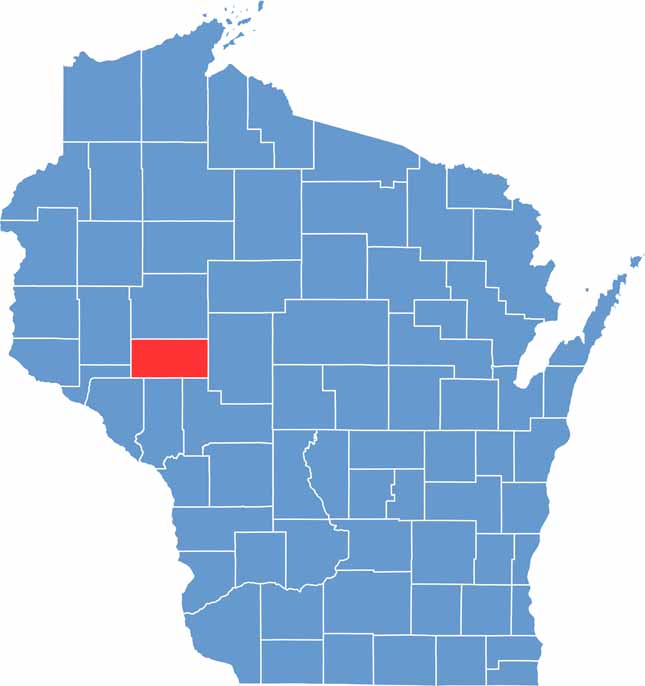
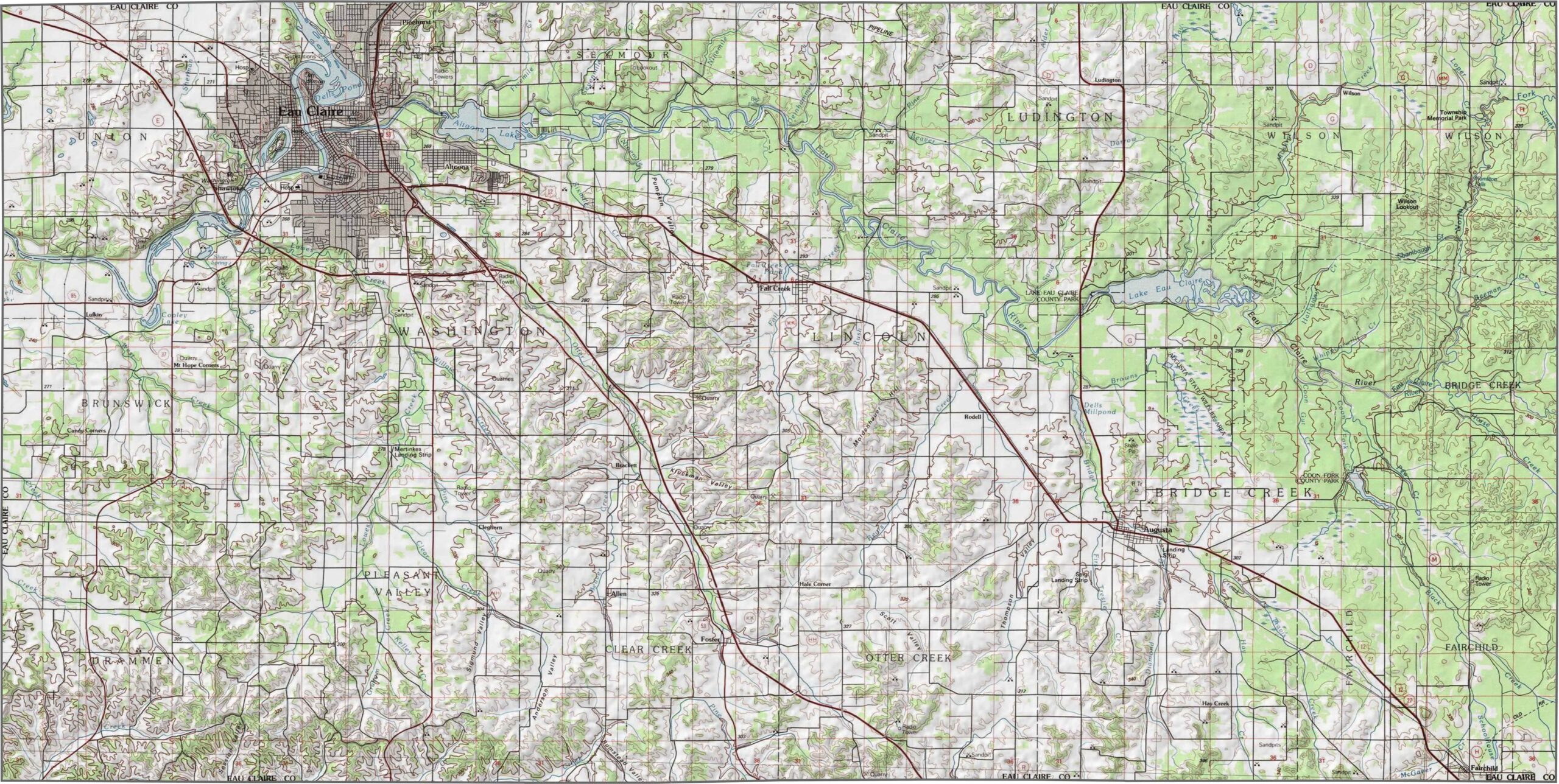
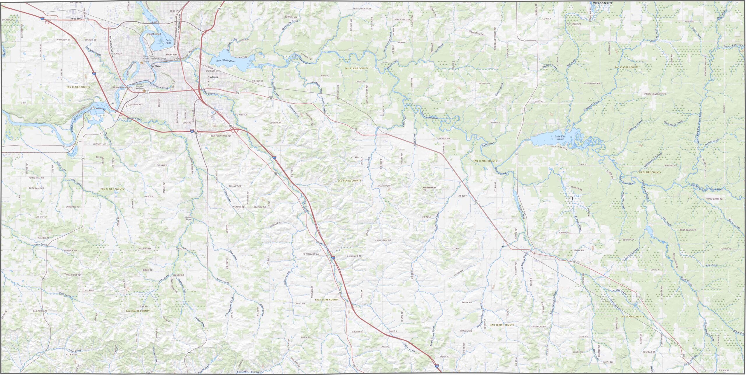
Eau Claire County is gently hilly, with broad uplands and scattered valleys. The Chippewa River and Eau Claire River are the standout geographic features. Small bluffs and ridges rise in the northwestern parts of the county, but the terrain is not overly extreme.
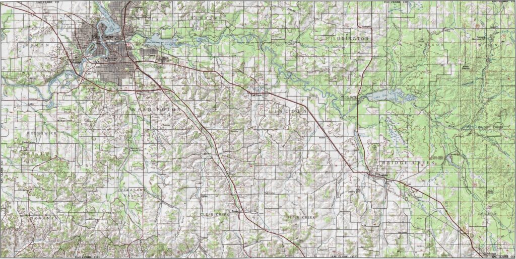
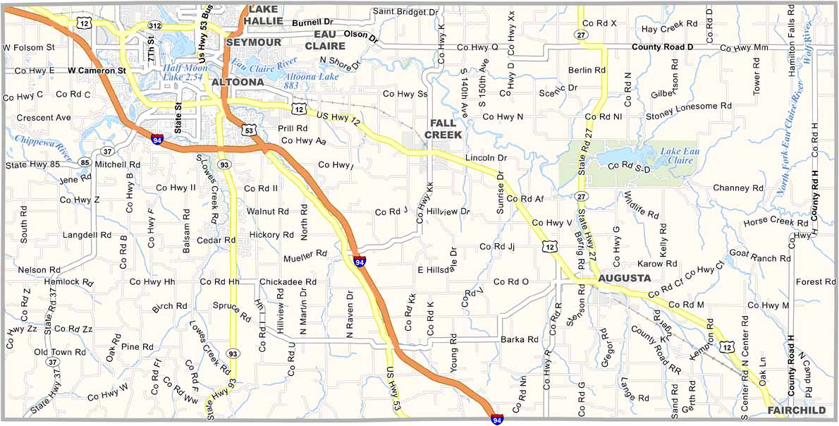
Interstate 94 crosses the western portion of Eau Claire County. Some roads cut across river valleys, while others wind through forested stretches. Overall, navigation is easy, and you can explore the Eau Claire County highway layout in more detail with our zoom tool.
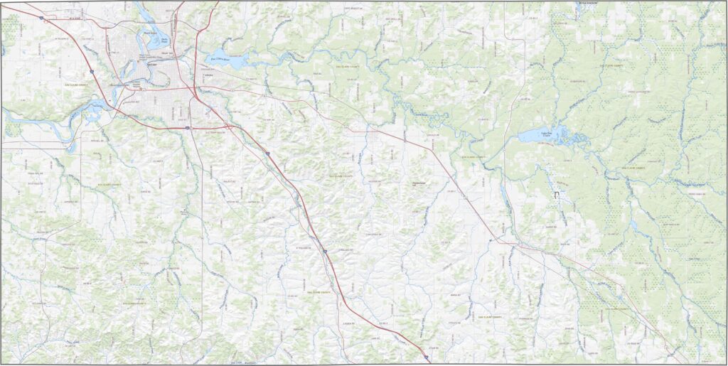
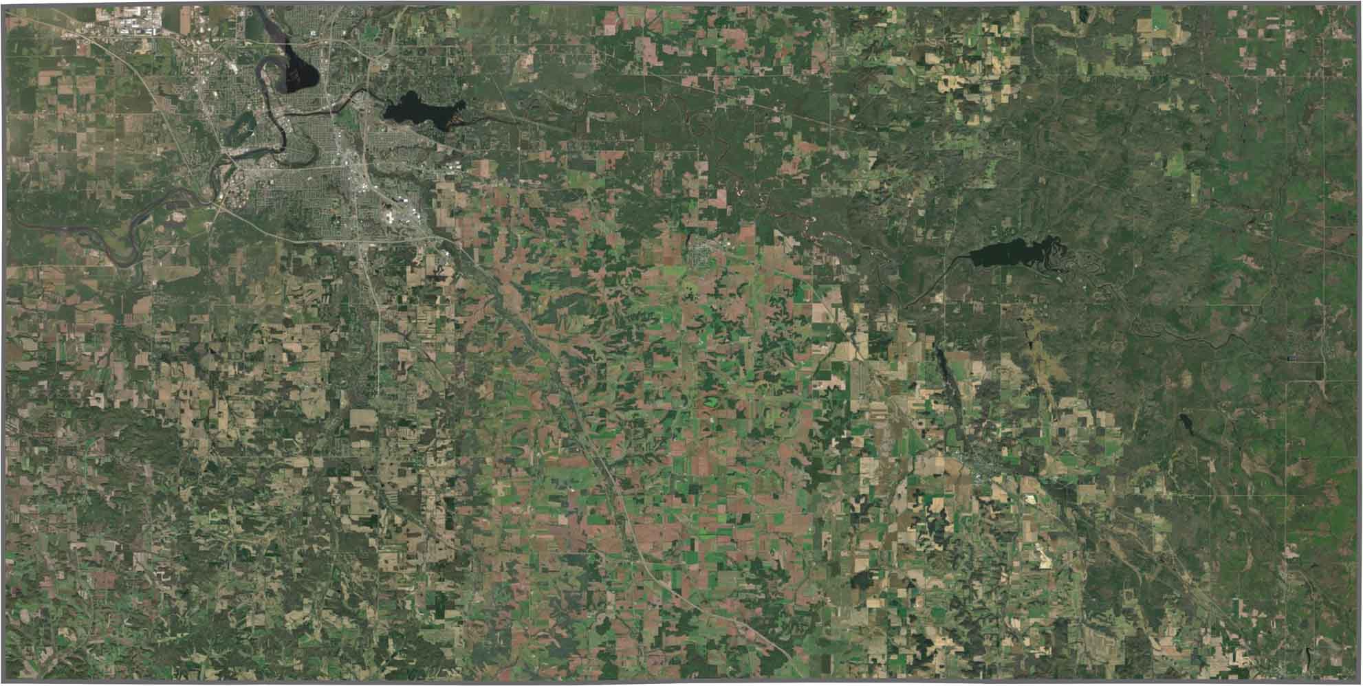
Eau Claire County appears as a dense patch of development surrounded by greenery. The Chippewa River is clearly visible, curving through the middle of the landscape. Outside the city, farmland and forest appear in almost equal measure.
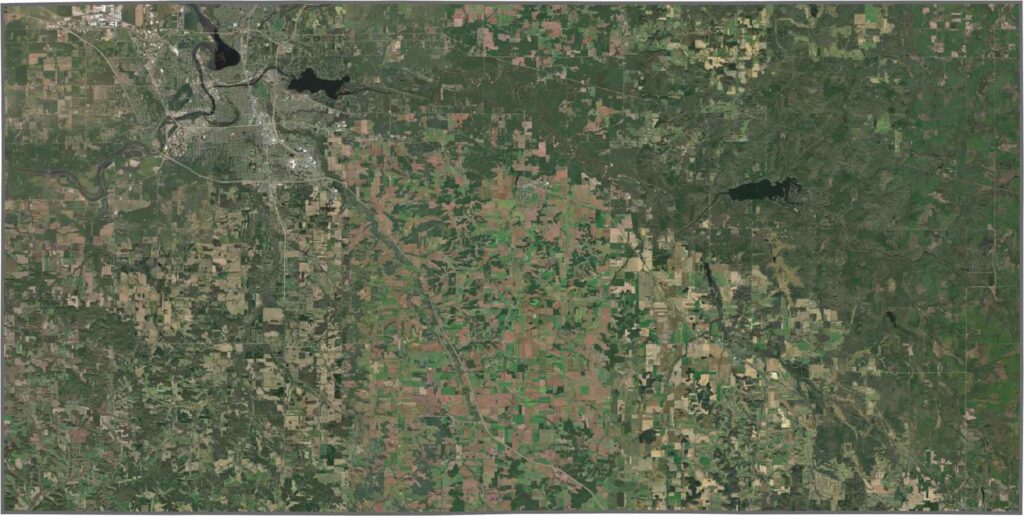
Eau Claire County has a mostly rectangular shape, with boundaries that follow established survey lines. It does not border another state and is surrounded by several other Wisconsin counties on all sides.






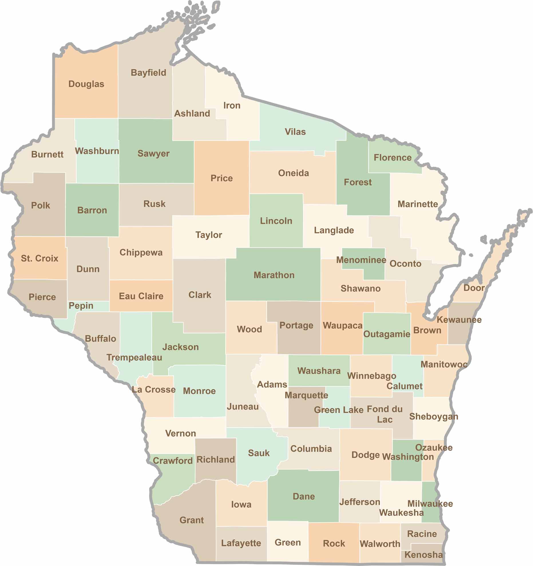
Wisconsin is known for its beer, cheese, and proud traditions, but the state’s 72 counties offer far more than familiar stereotypes. From the scenic shorelines of Lake Michigan and Lake Superior to sprawling dairy farms, dense forests, rolling bluffs, and picturesque river valleys, Wisconsin features an incredible variety of landscapes and communities.Each county has its own unique character, history, and attractions.