
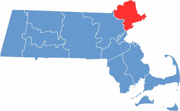
Essex County is located along the North Shore of Massachusetts. As the state’s third-most populous county, it stretches from the Atlantic coast into the surrounding inland areas.
The county is rich in history and natural beauty. Salem is well known for its witch trials and attracts visitors throughout the year. But Essex County has much more to offer than its witch trial history.
Plum Island’s beaches attract both birdwatchers and beachgoers. Gloucester has a deep fishing heritage, famously featured in “The Perfect Storm.” The county also offers charming towns with cobblestone streets alongside lively modern cities. In the fall, its colorful foliage is especially impressive.
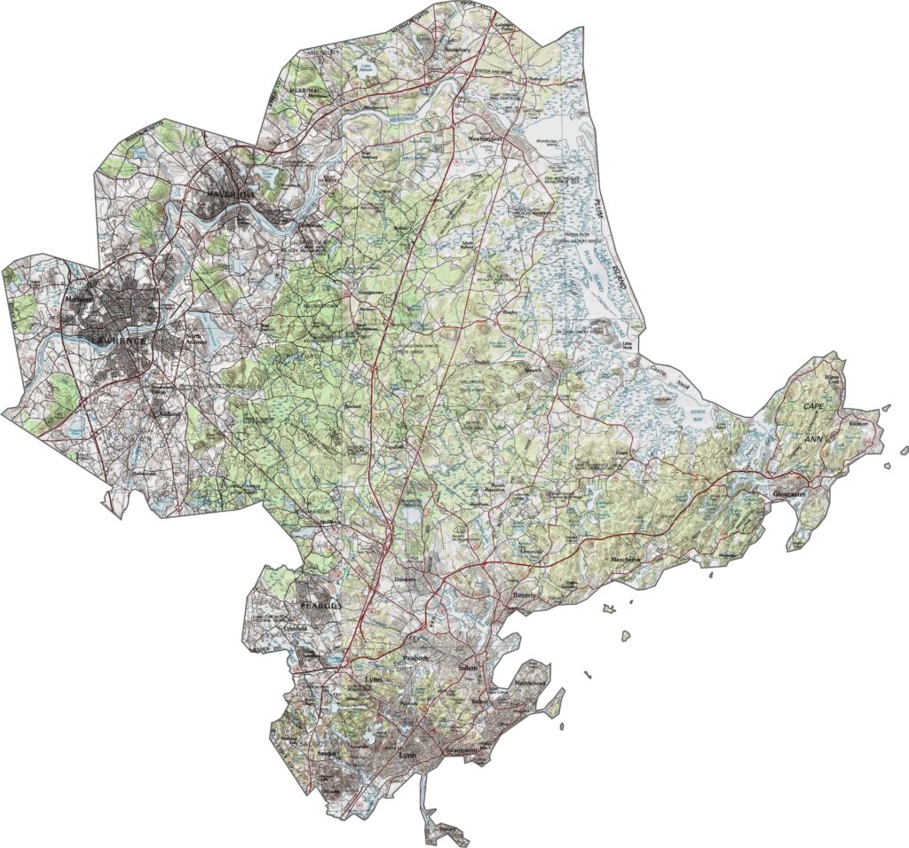
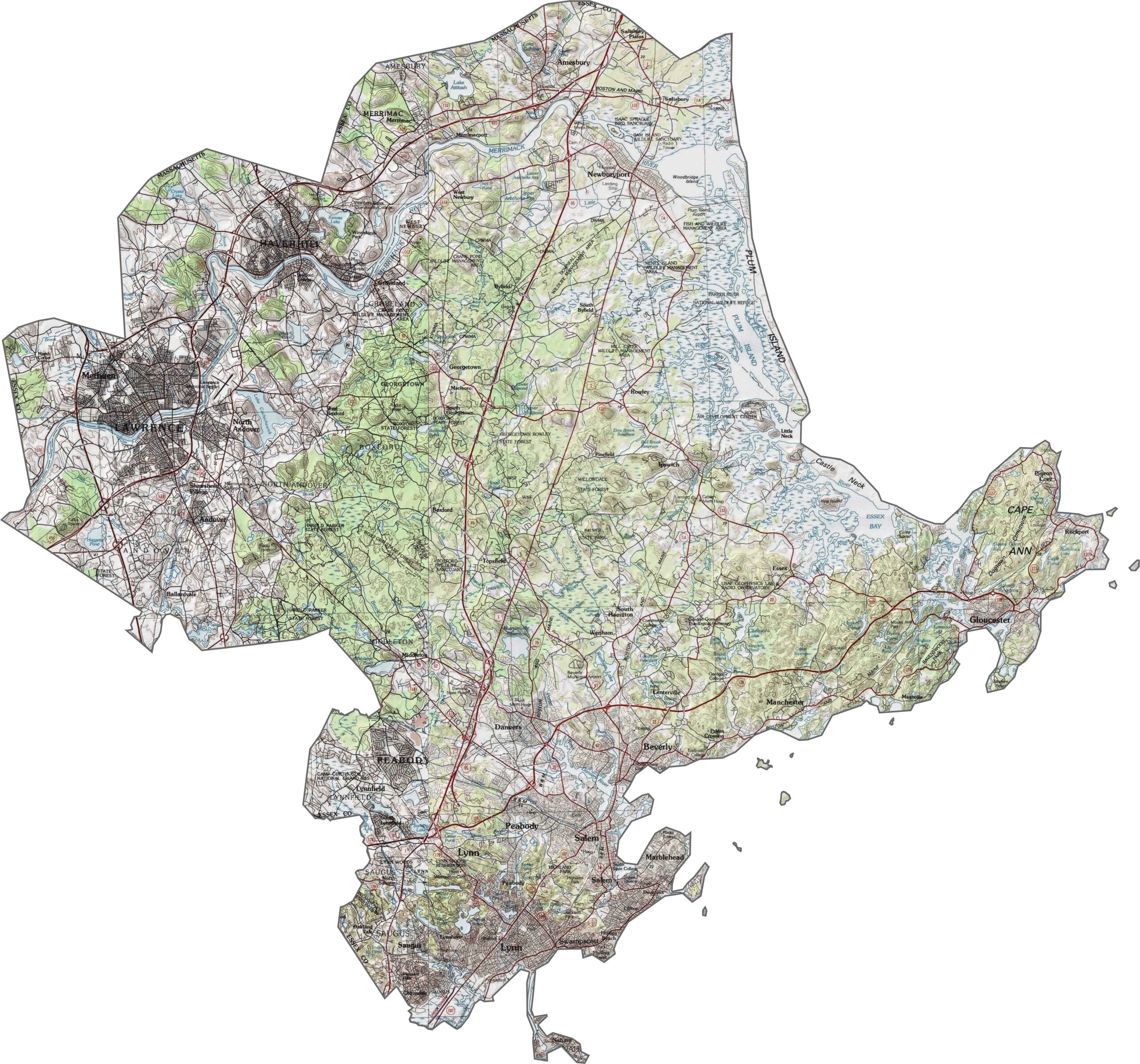
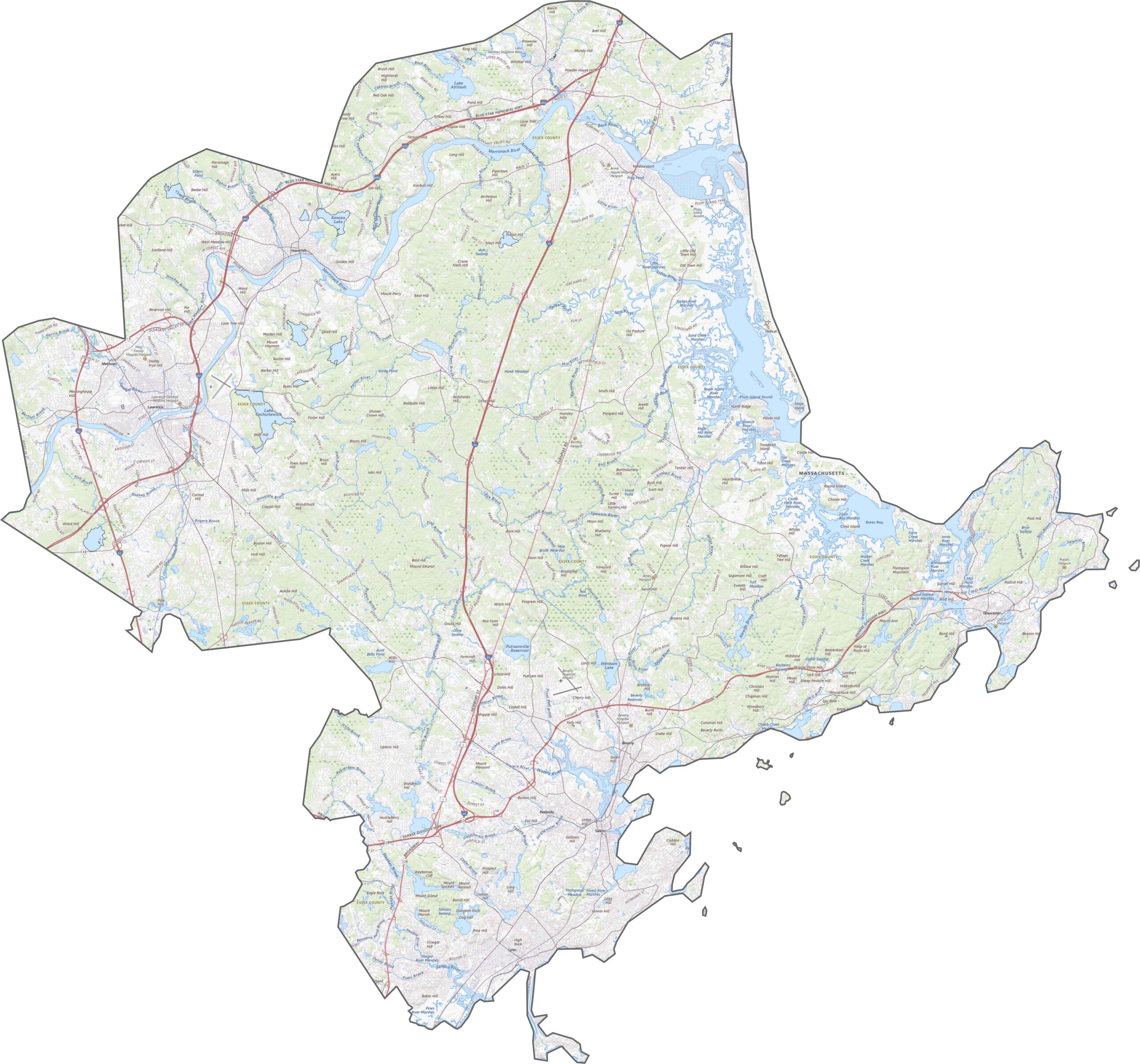
Essex County is mostly low-lying, with gently rolling terrain farther inland. While there are no major mountains, the elevation changes are noticeable enough to appear clearly on our topo map. Use our zoom tool below to explore all the details of Essex County.
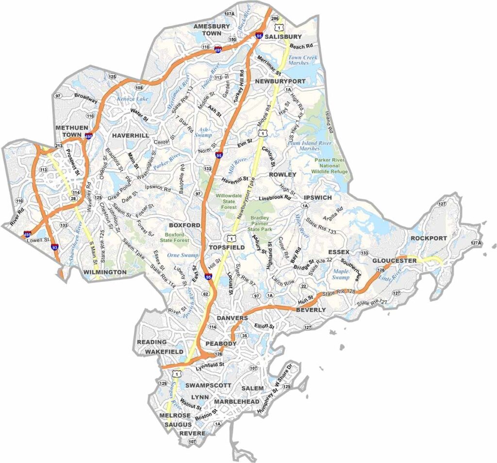
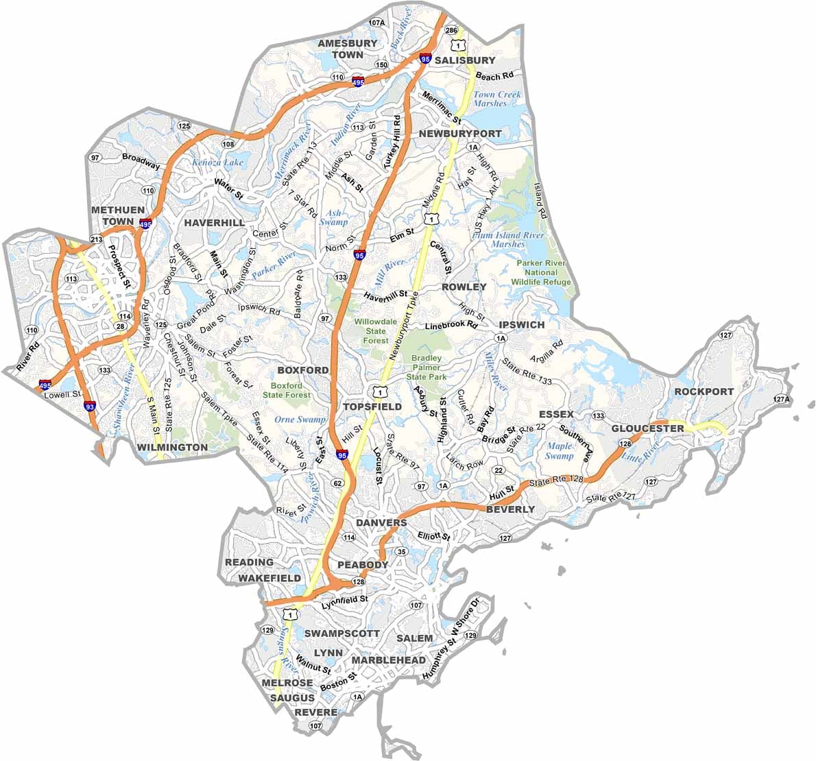
Essex County has a well-connected network of roads and rail lines. I-95 and I-495 create a rough loop around the county, although traffic can still build up near Salem and Lynn. Route 1 provides another north-south connection, but it isn’t always the quickest option. Some parts of the county feel suburban, while others are more coastal and compact.
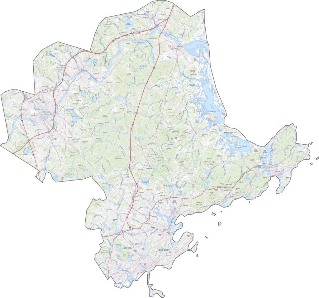
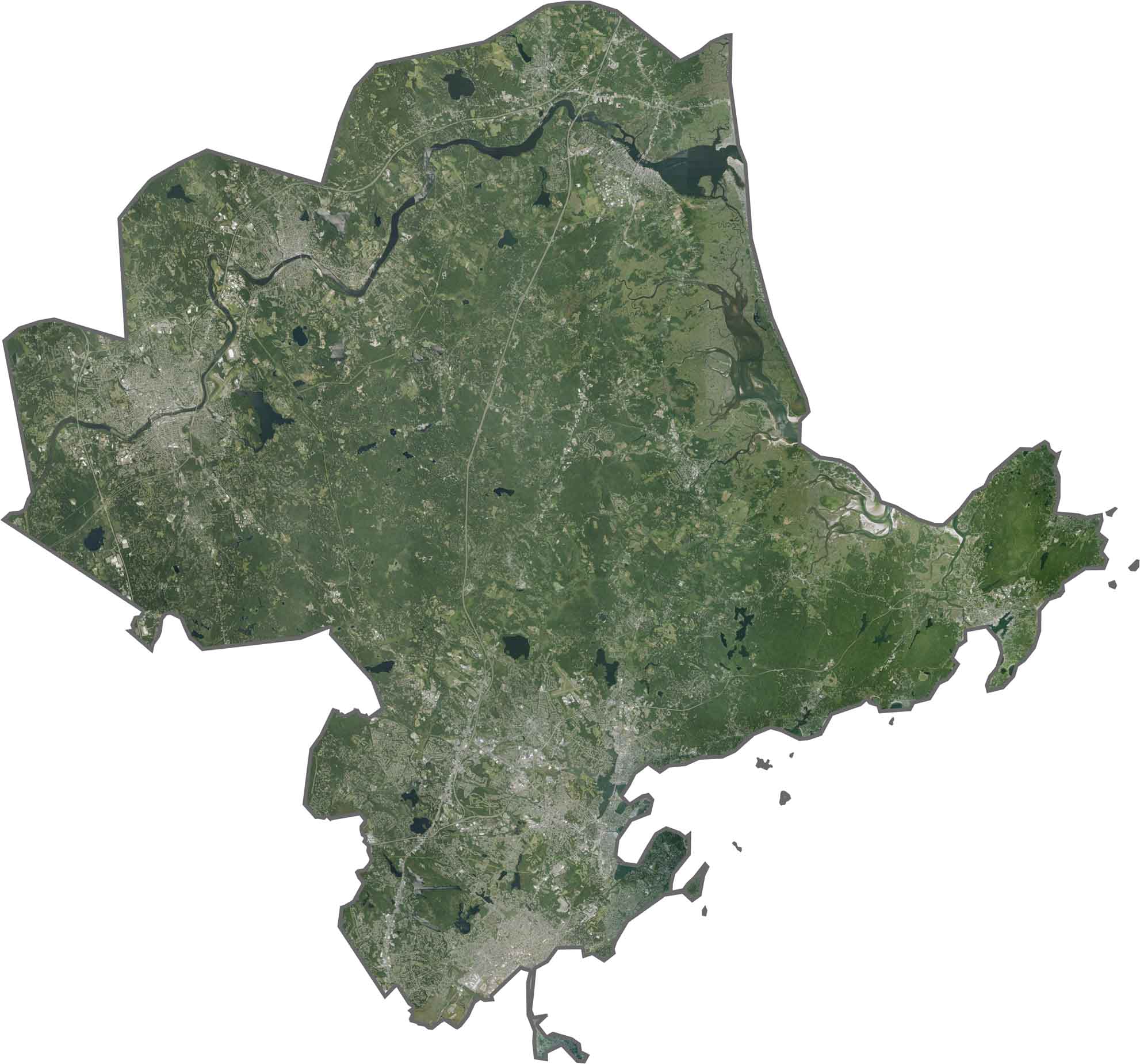
Our satellite map shows dense neighborhoods along the coast, while forests and rivers cover much of the inland area. Salt marshes and estuaries are especially noticeable along the Atlantic shoreline. Cities such as Lawrence and Beverly stand out from above, but much of the county remains covered in green space.
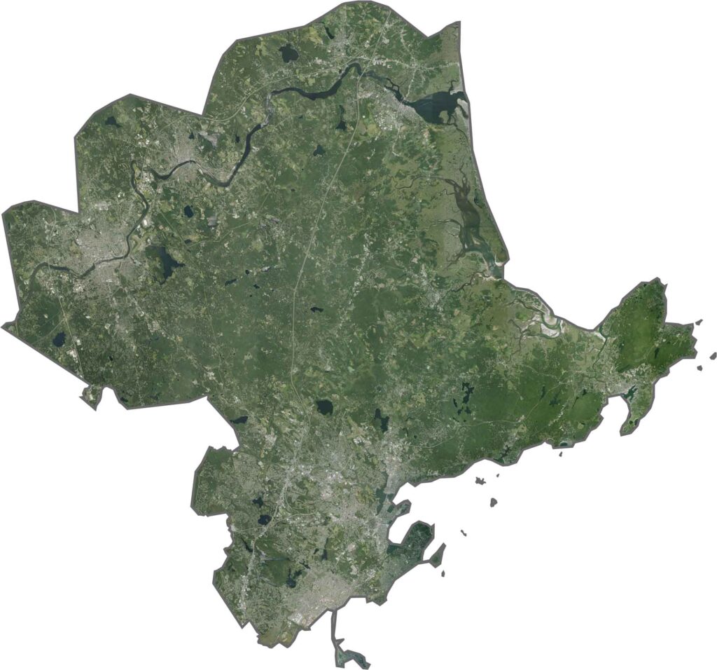
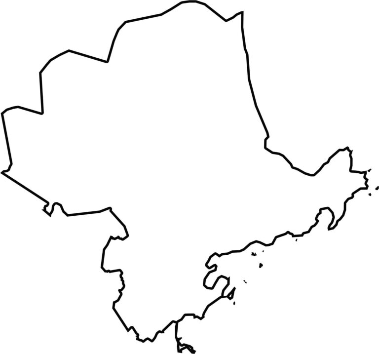
Essex County occupies the northeastern corner of Massachusetts. It borders the Atlantic Ocean and has a short boundary with New Hampshire. The coastline is irregular, with numerous points, bays, and river mouths. The Merrimack River forms part of the northern boundary near the state line.

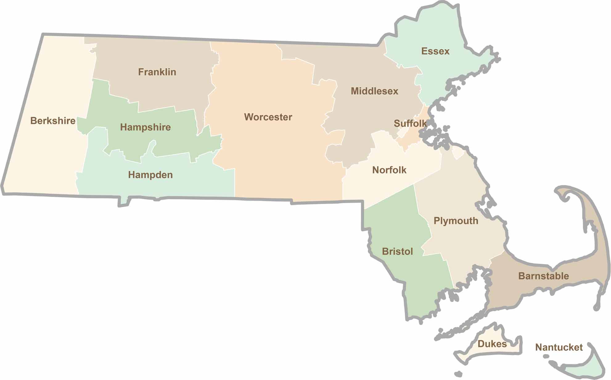
Small state, big personality. Boston’s skyline is packed with history, while the Cape delivers beach days and lobster rolls. Massachusetts brings together history, culture, and coastline across its 14 counties.