
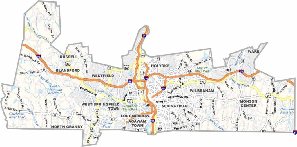
Hampden County sits in the heart of western Massachusetts. Springfield, the county seat and largest city, serves as the center of this diverse region.
The county blends urban and rural areas, with historic factory towns alongside leafy suburbs. The Connecticut River runs through the area, while the Berkshire foothills shape the western landscape.
You’ll find excellent museums here, including the Basketball Hall of Fame. Visitors can also enjoy hiking trails and state parks. The region has a strong industrial past, but it continues to reinvent itself for the future.
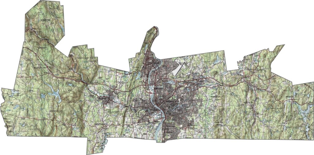
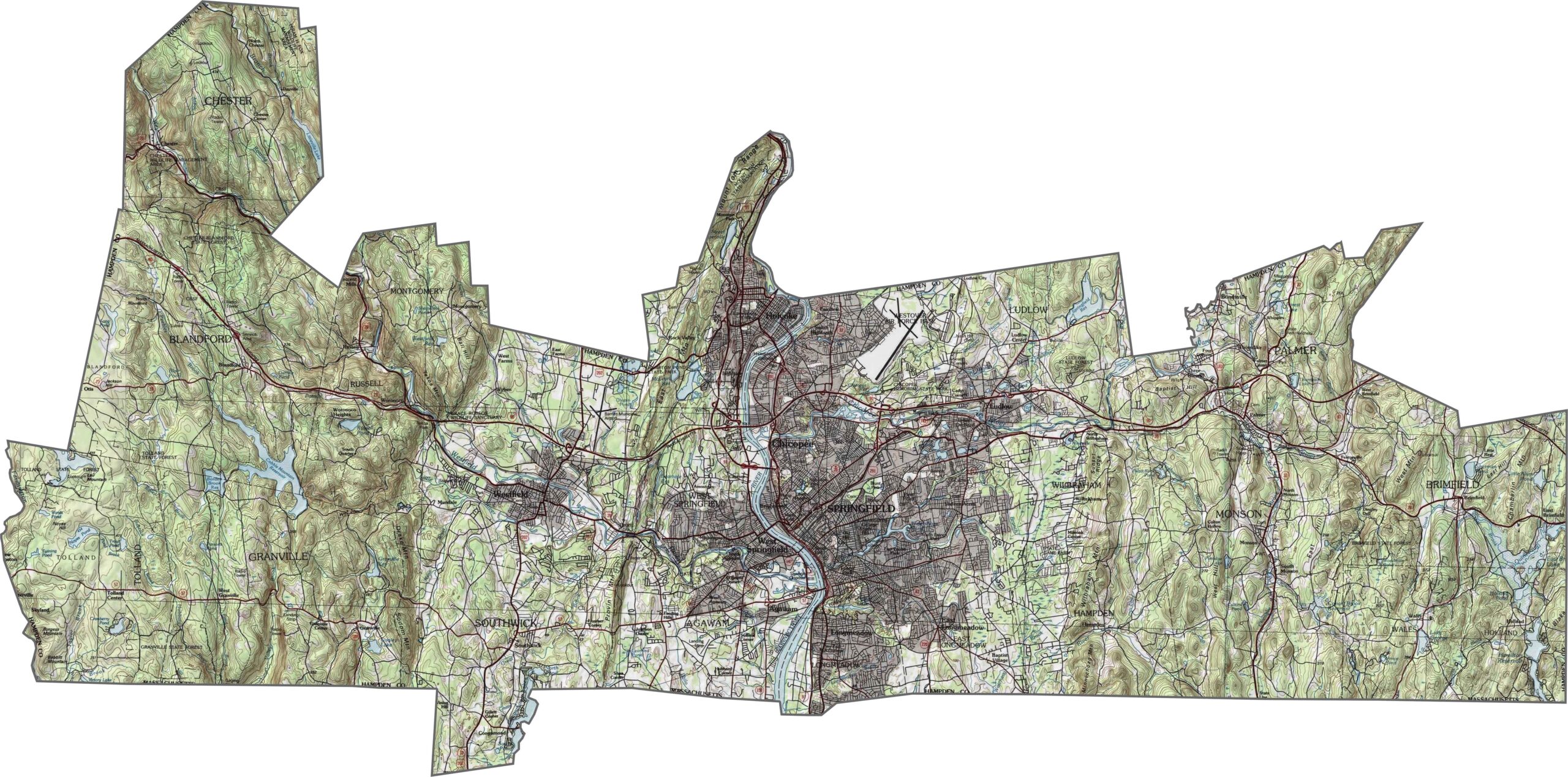
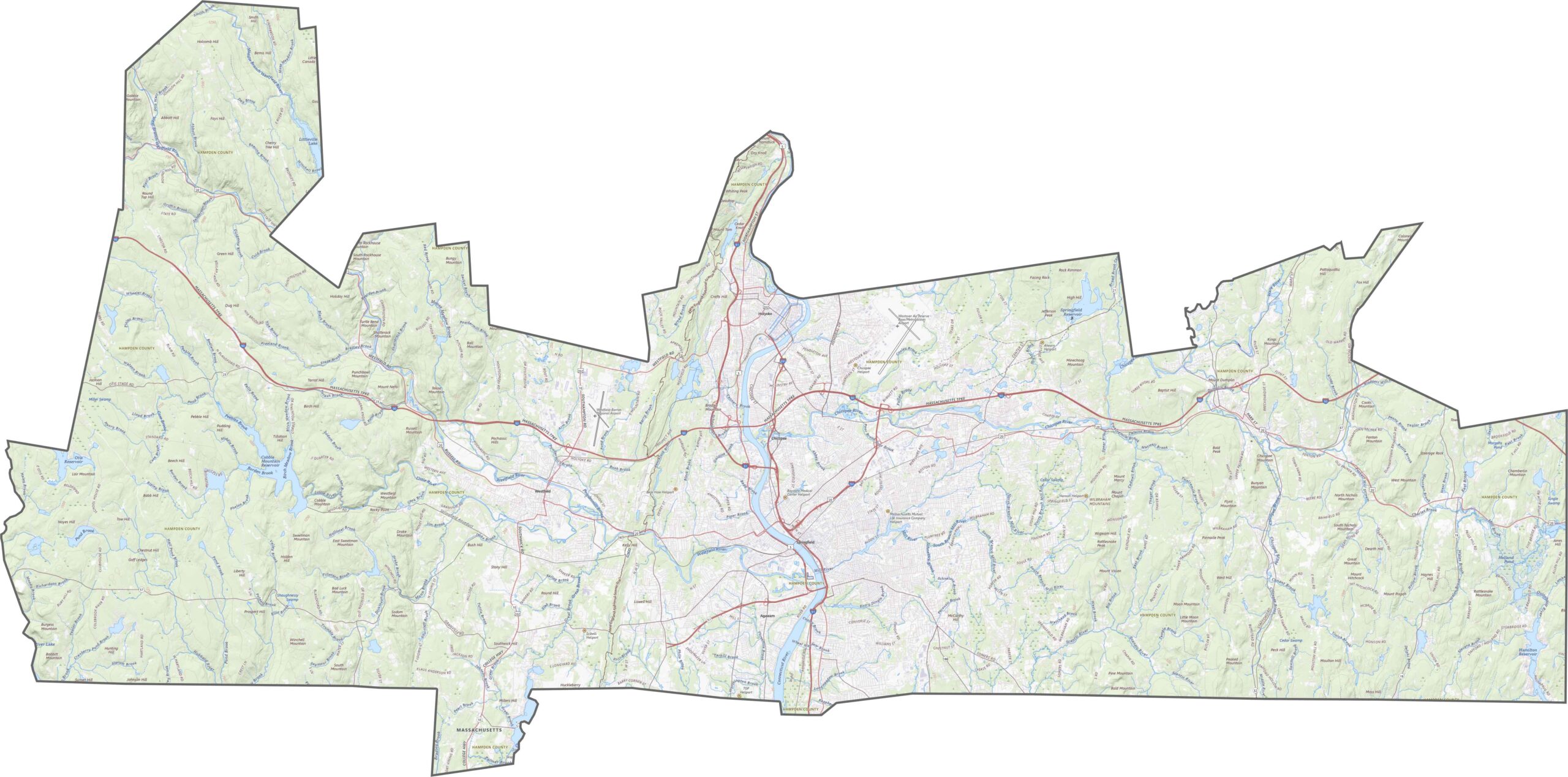
The Connecticut River Valley runs directly through Hampden County. Lowlands follow the river, while hills rise on both sides to the east and west. Some ridges appear more rugged on our topo map below. The contrast between flatlands and uplands is easy to see. Use our zoom tool to explore the details of Hampden County.
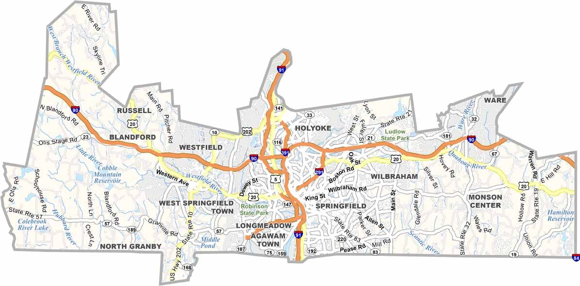
Hampden County has excellent highway access in every direction. Interstate 91 runs north to south through Springfield, while I-90, also known as the Mass Pike, crosses the northern part from east to west. Traffic can become heavy around city centers, but the overall road network is well connected. Route 20 provides an additional local route.
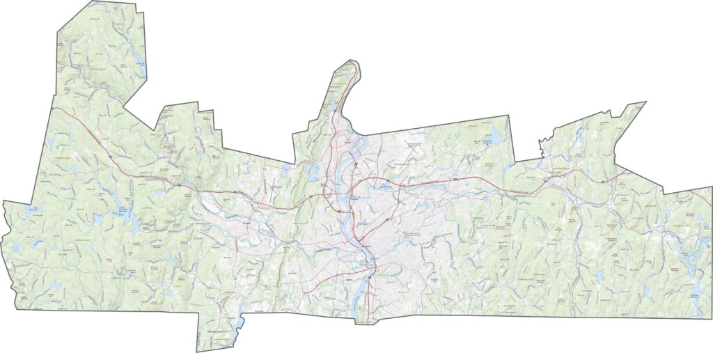
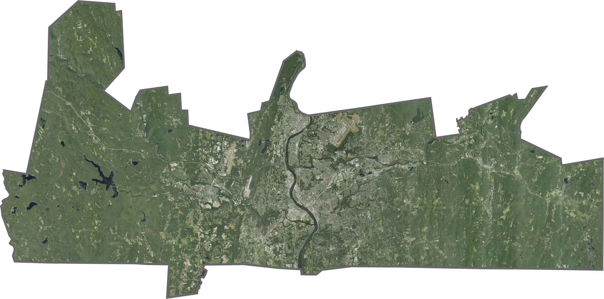
Urban areas such as Springfield and Westfield stand out across the central part of the county. Large patches of forest appear just beyond the cities, while the Connecticut River is wide and easy to trace. Farmland fills parts of the valleys, although development is more prominent across the landscape.
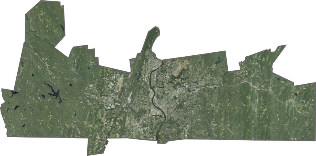
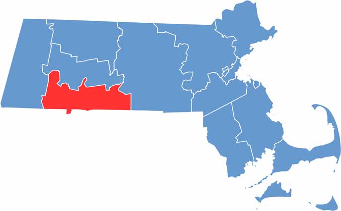
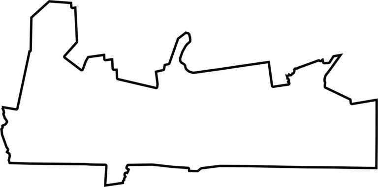
Hampden County borders Connecticut to the south. The Connecticut River flows through the county but does not completely define its boundary. The outline is generally rectangular, with the river and surrounding hills adding a few curves.
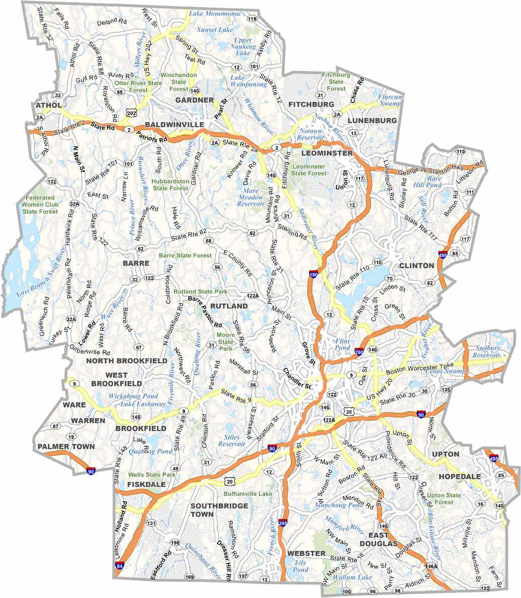
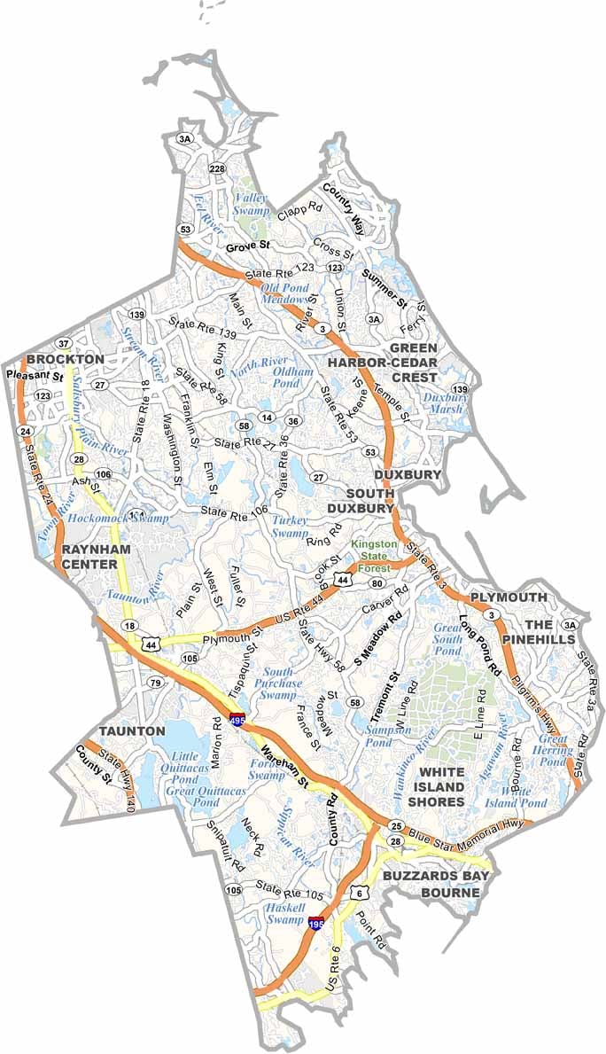

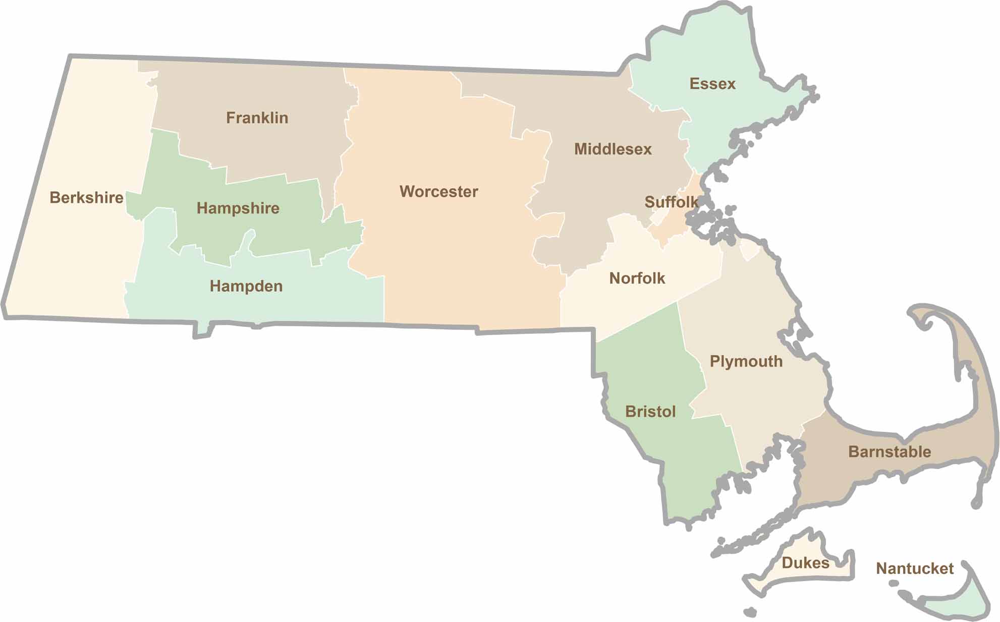
Small state, big personality. Boston’s skyline is packed with history, while the Cape delivers beach days and lobster rolls. Massachusetts brings together history, culture, and coastline across its 14 counties.