
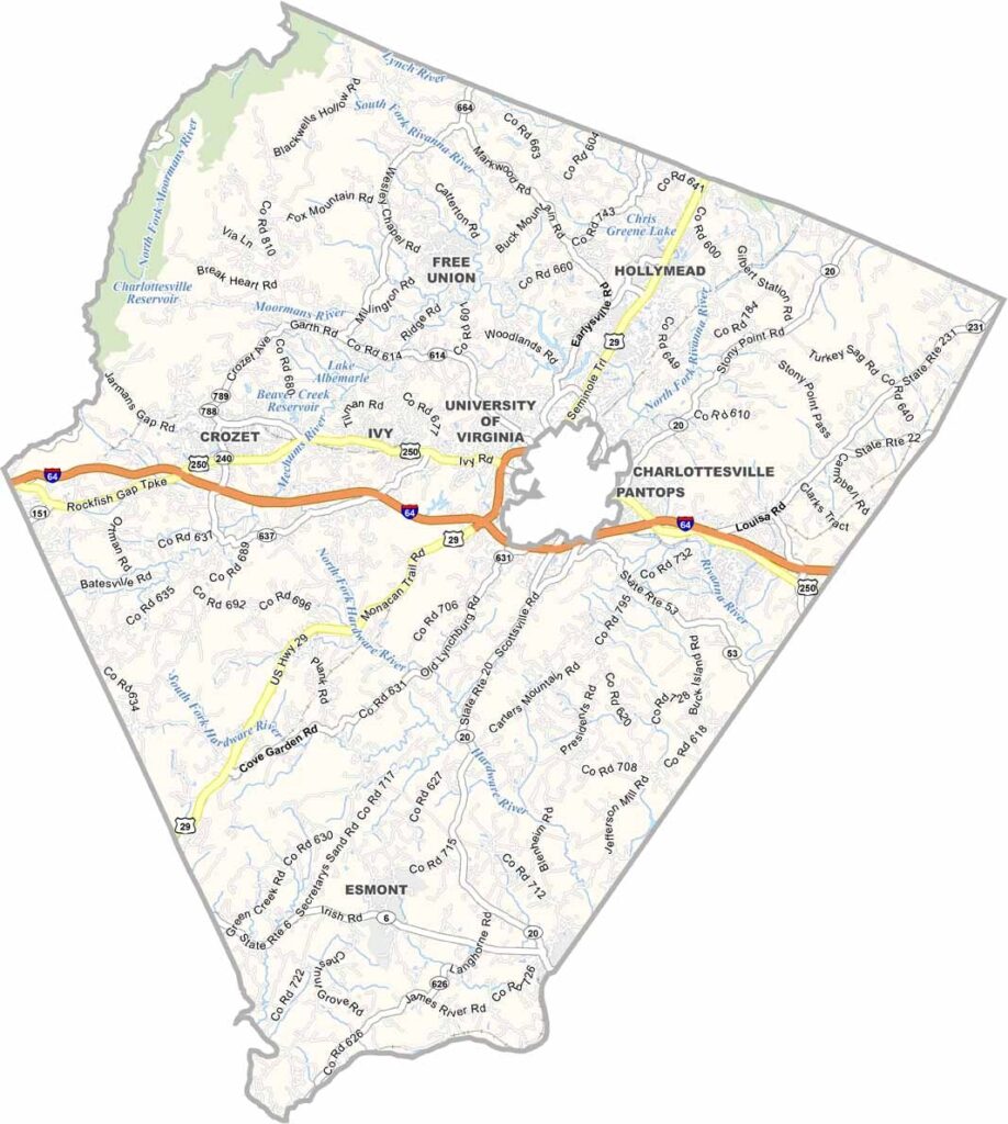
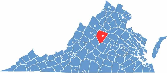
Albemarle County is located in the heart of Central Virginia. It offers a mix of rolling hills, vineyards, and the lively city of Charlottesville.
The county is rich in history. Thomas Jefferson’s Monticello sits on a hilltop overlooking the area, while the University of Virginia is another Jefferson legacy found here.
There’s plenty to do, from hiking in the Blue Ridge Mountains to enjoying wine at one of the many local vineyards. Charlottesville’s downtown mall is always full of activity, while farmers markets highlight the county’s agricultural roots. Albemarle County is the kind of place that quickly grows on you.
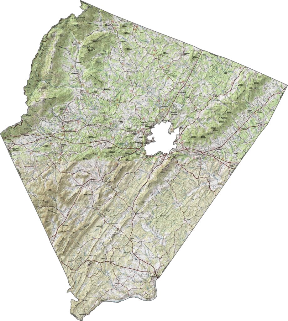
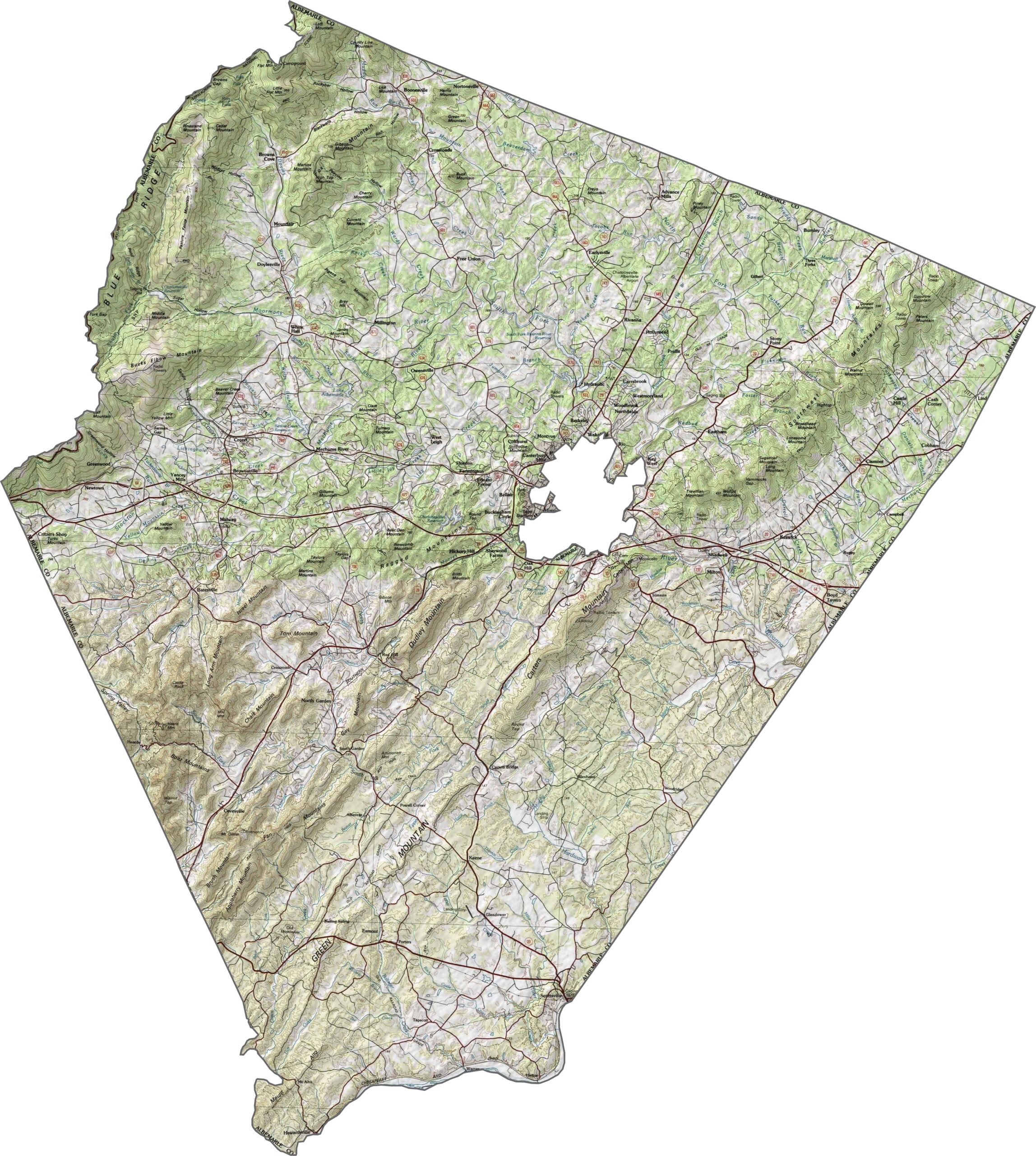
Albemarle County features rolling hills that gradually climb toward the Blue Ridge Mountains in the west. Peaks such as Humpback and Bucks Elbow stand out in this part of the county. Elevation changes steadily across the landscape. Explore the terrain in our topographic map below.
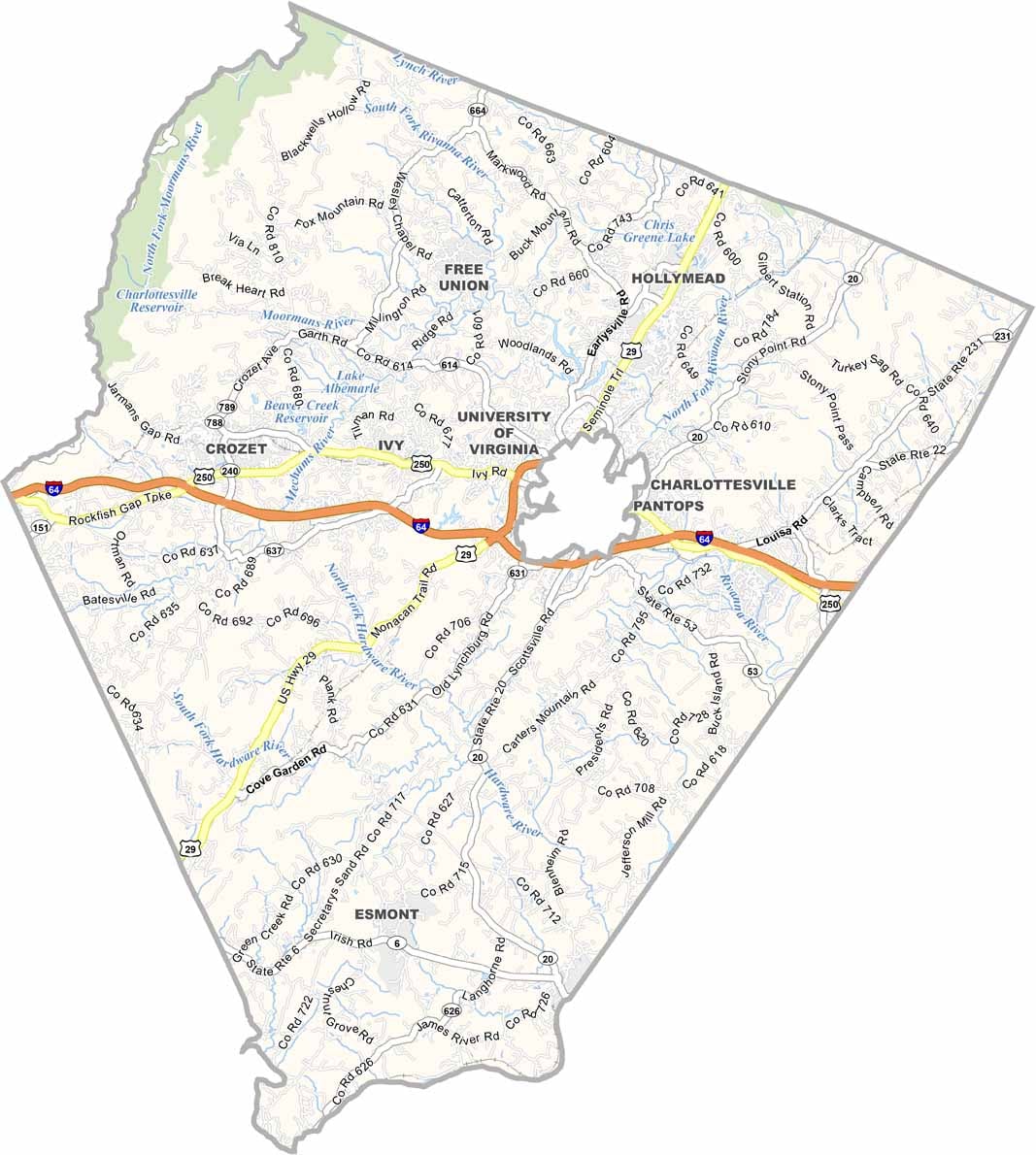
Several major roads run through Albemarle County, especially around Charlottesville. I-64 crosses the area and provides a fast east-west connection. Most of the county, however, is reached by smaller highways that follow older routes. Use our zoom tool to explore the detailed road map.
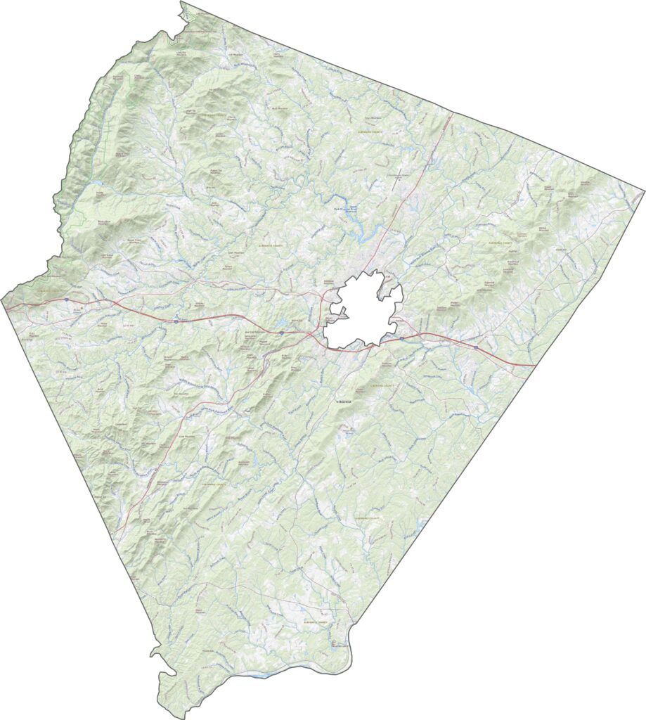
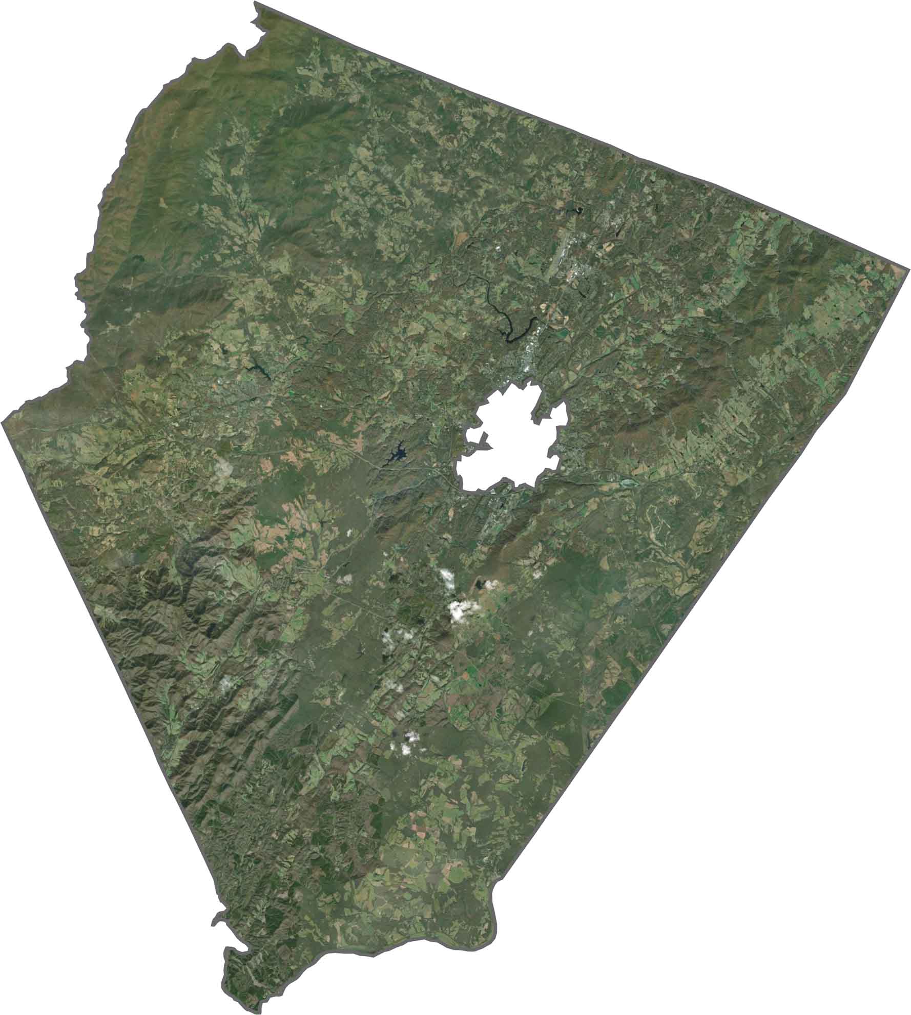
From above, Albemarle County appears mostly green. Dense forests cover much of the western half, while fields and neighborhoods become more common around the city. Although development is concentrated near Charlottesville, large rural areas still dominate the landscape.
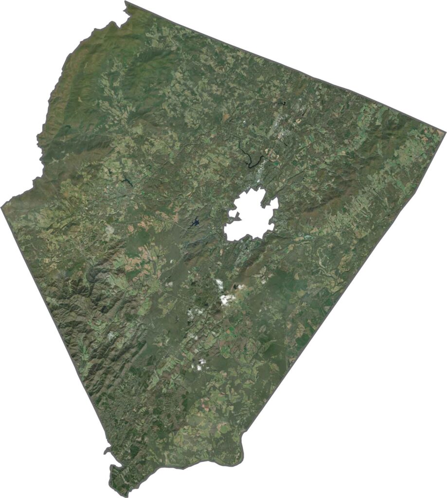
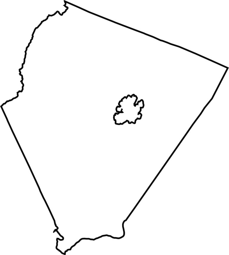
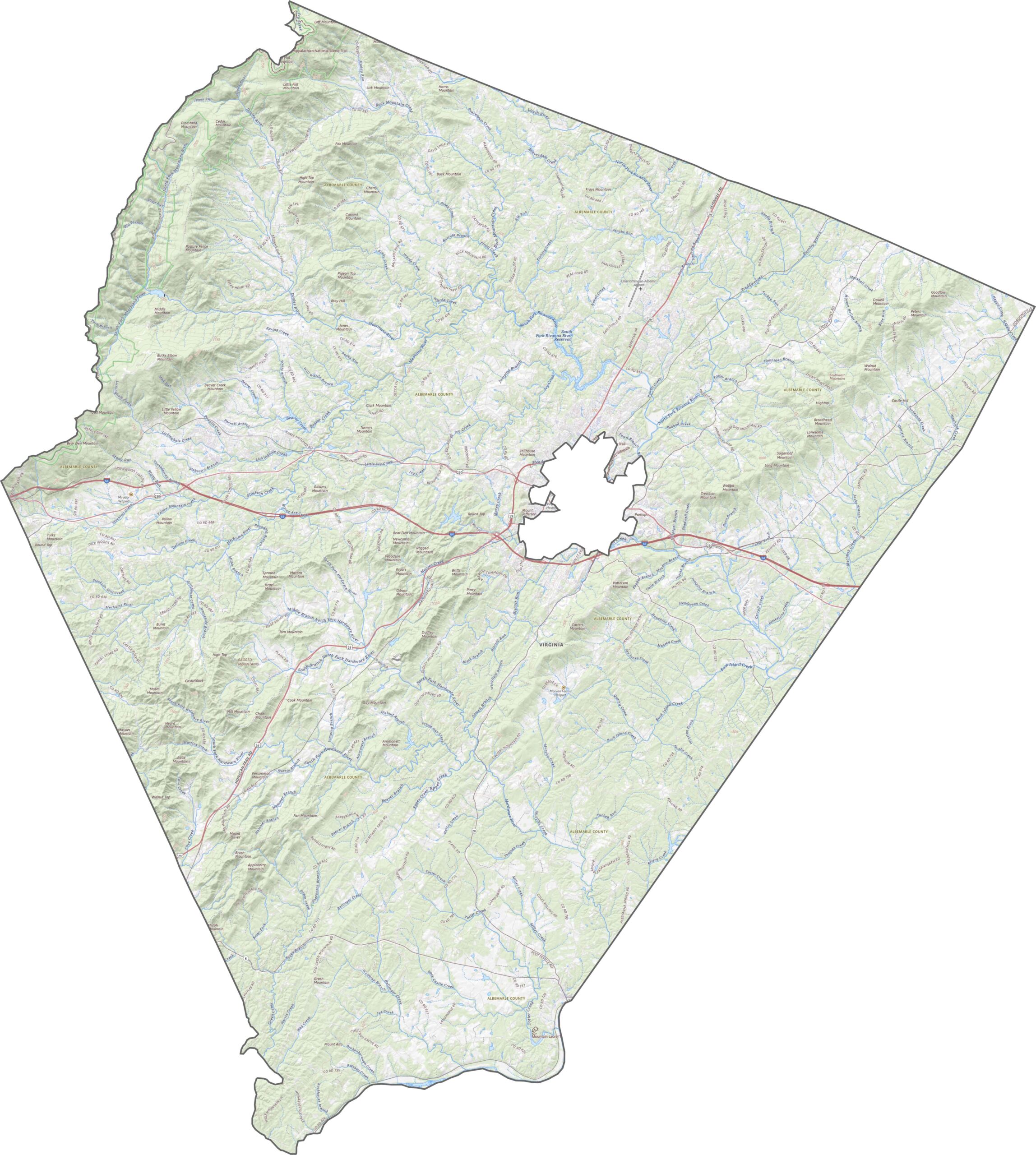
Albemarle County has a broad, slightly curved shape that resembles a wedge. Charlottesville is carved out near the center. The county’s long western border follows the base of the Blue Ridge Mountains.
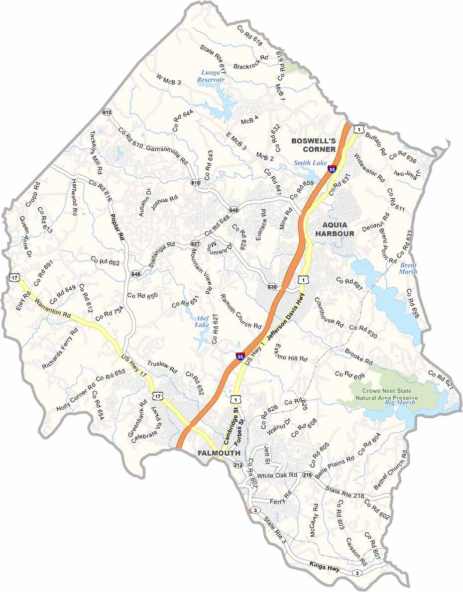
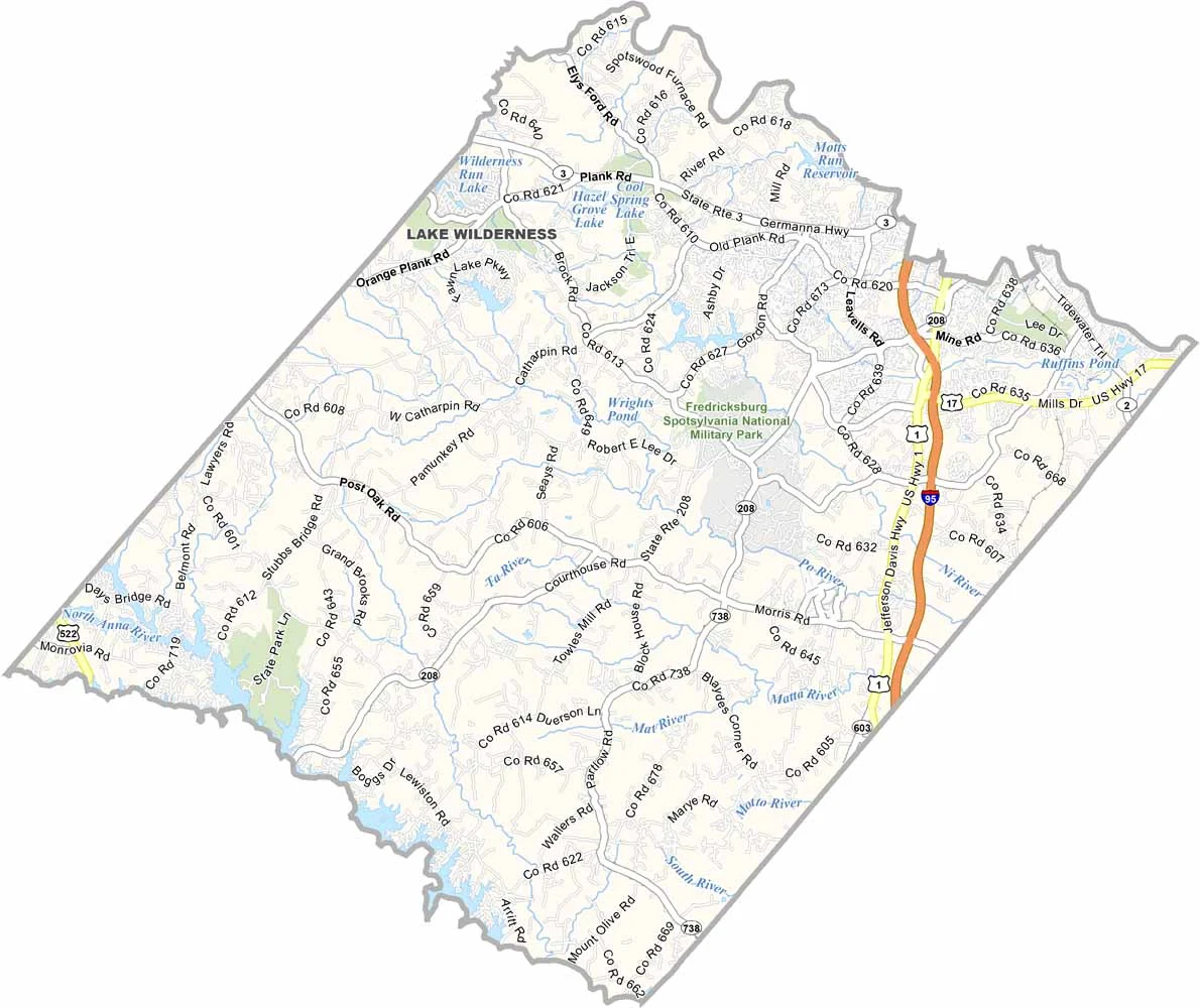

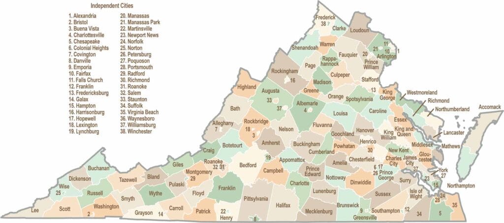
Virginia’s 95 counties bring together old-school roots, winding mountain roads, and Civil War history. One county is known for peanuts, another for presidents. Some feel distinctly rural, while others sit closer to the action around the nation’s capital.