
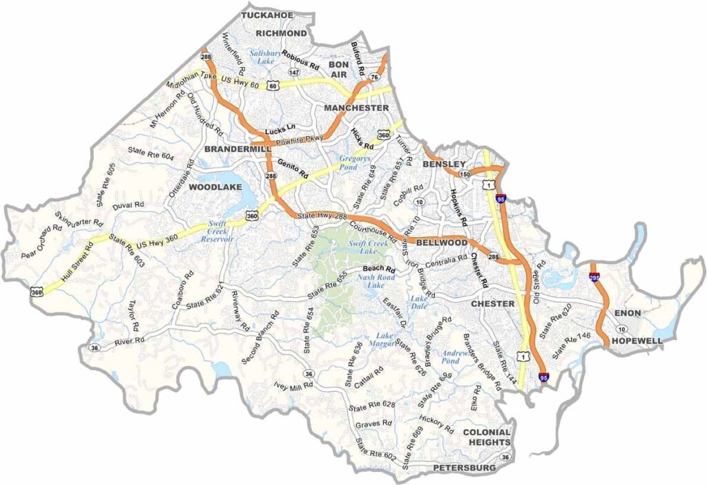
Chesterfield County is located just south of Richmond. It’s a place where rich history meets modern appeal. The James and Appomattox Rivers border the county, providing scenic views and opportunities for recreation.
Chesterfield’s history reaches back to the colonial era and includes important connections to the Civil War. Today, the county combines suburban communities with rural charm. It’s also growing quickly, attracting new residents and businesses.
The county offers great schools and plenty of parks. Visitors enjoy exploring Pocahontas State Park, while history buffs can visit Henricus Historical Park. Chesterfield continues to balance growth with the preservation of its heritage.
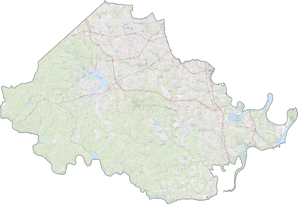
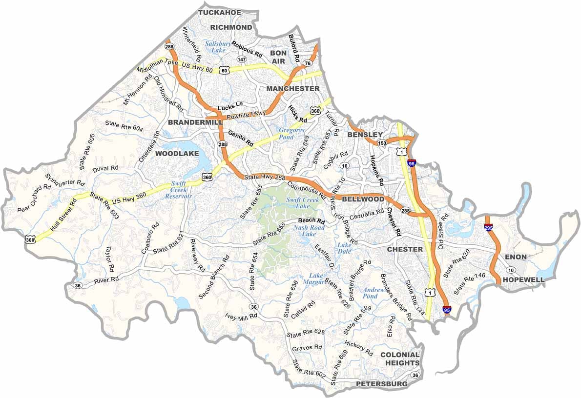
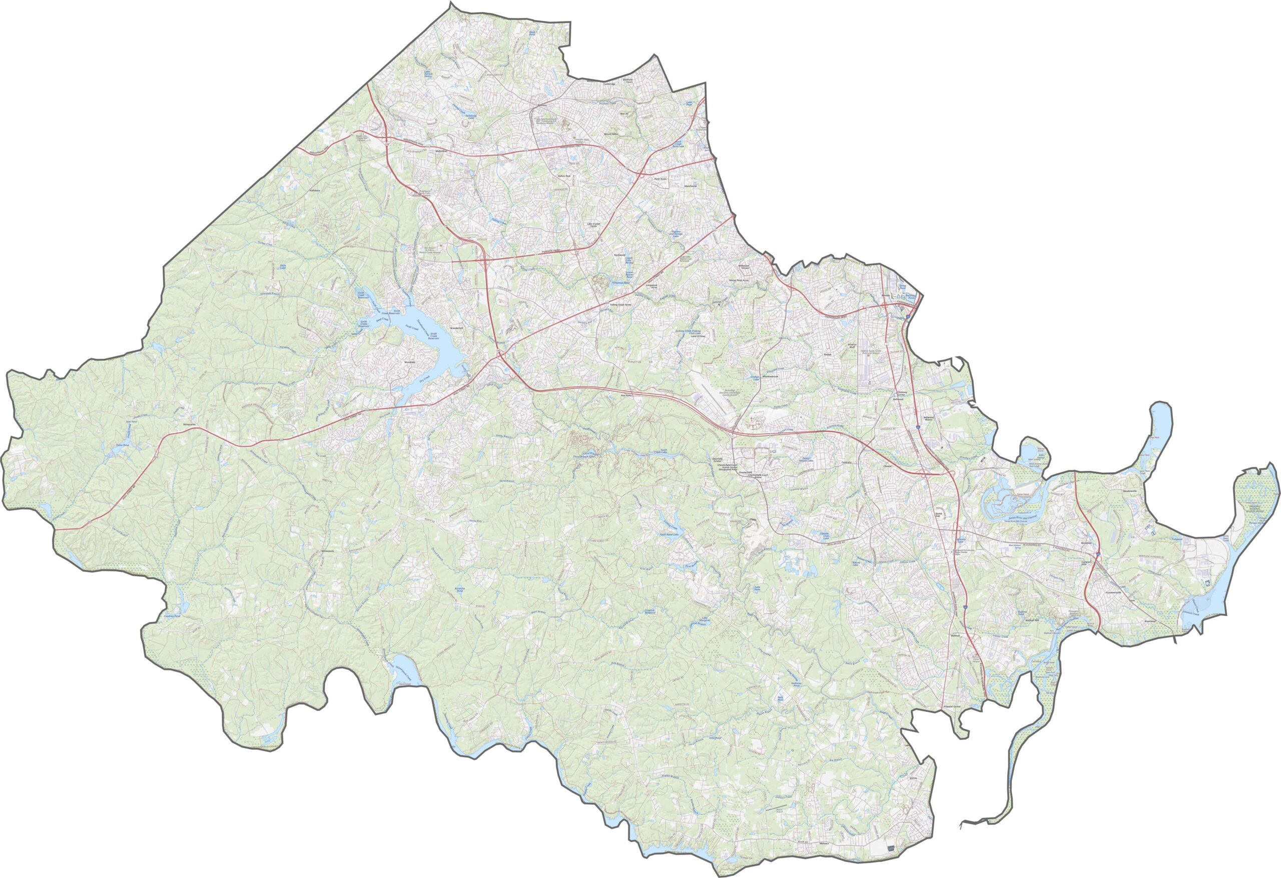
Chesterfield County has an extensive road network. I-95 runs along the eastern part of the county, while major highways connect suburban communities with industrial areas. Use our zoom tool below to explore the detailed road map.
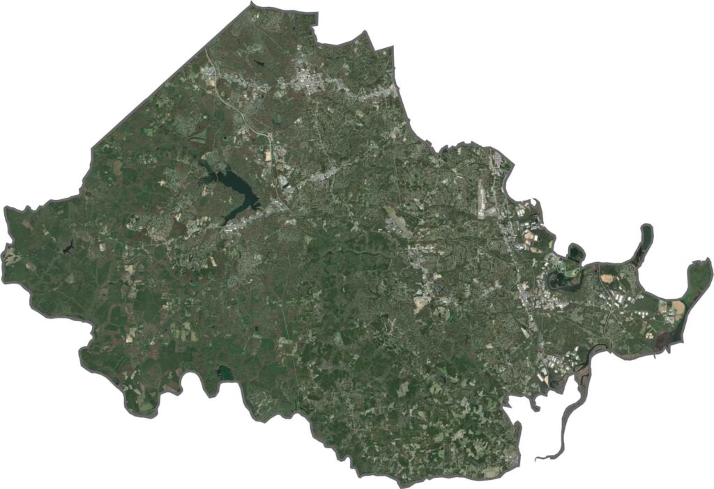
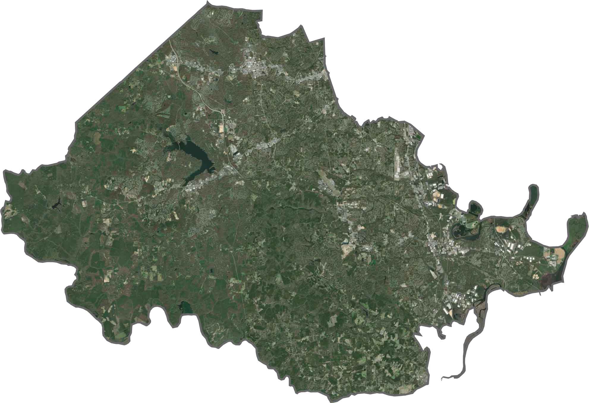
Chesterfield County features dense suburban development across much of the central area. However, forests, parks, and reservoirs surround these communities. Swift Creek Reservoir stands out clearly on the satellite map. Although development is widespread, natural areas remain especially prominent toward the west.
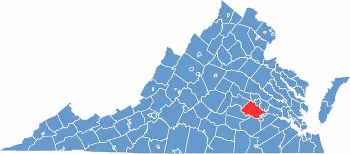
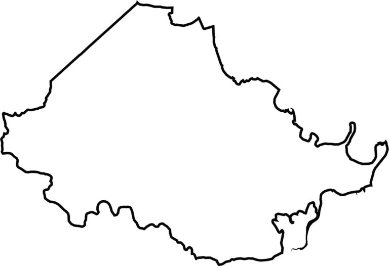
Chesterfield County has a long, irregular shape with plenty of curves and uneven boundaries. The Appomattox River and Lake Chesdin form part of the southern boundary. The county does not border another state, but it shares boundaries with several other counties and wraps around part of the city of Richmond.
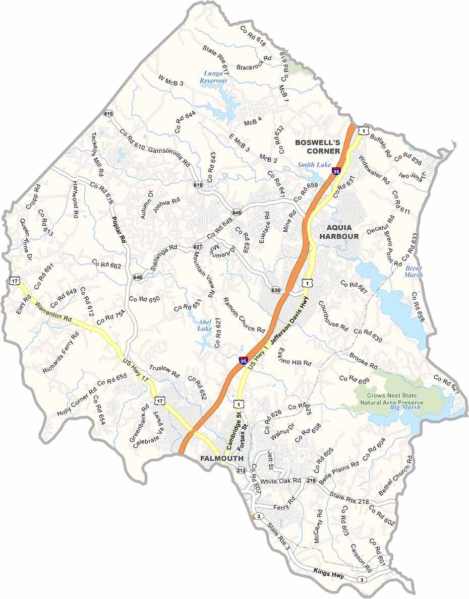
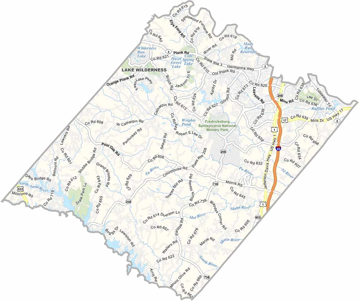
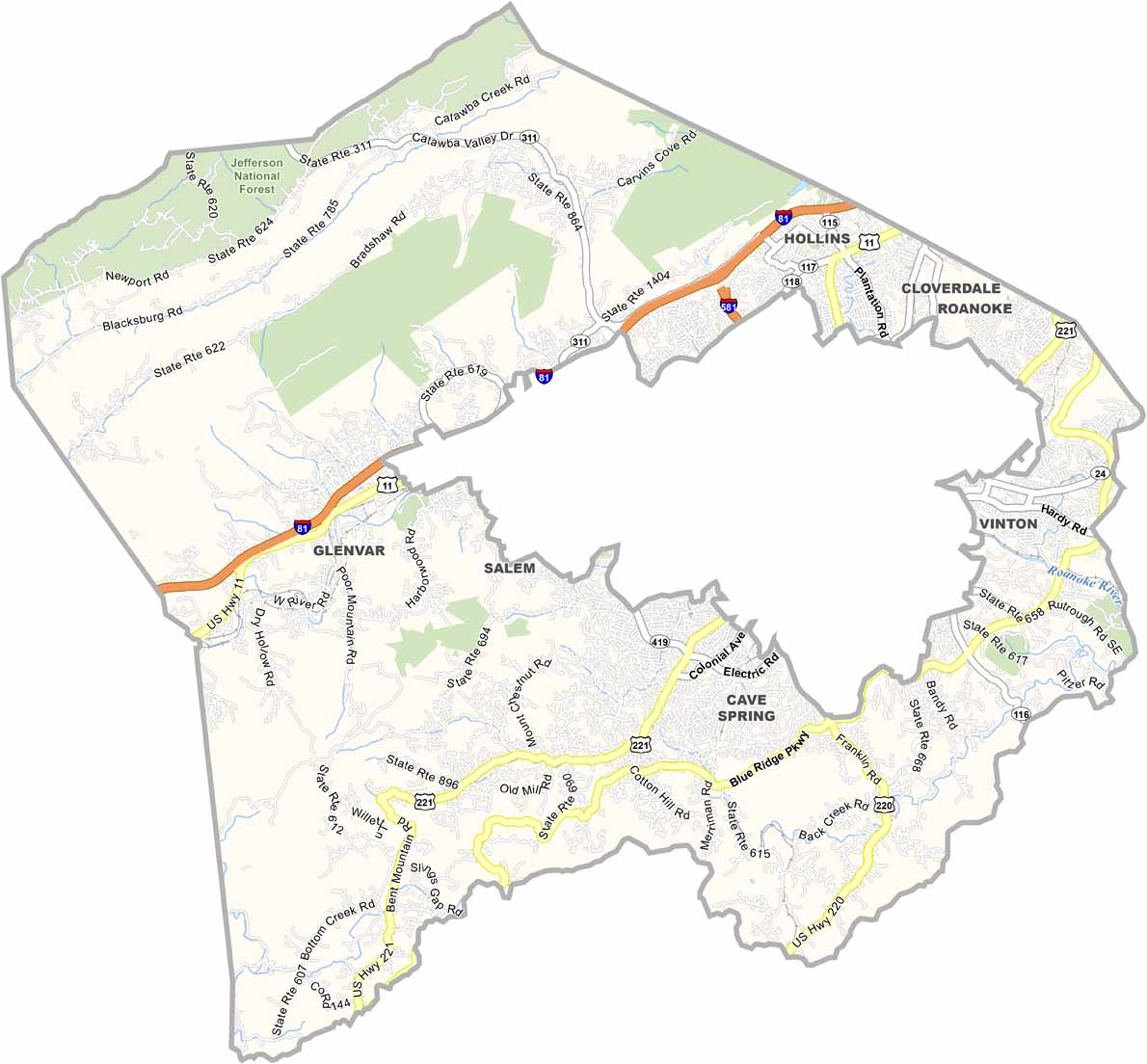

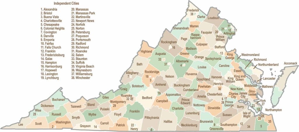
Virginia’s 95 counties bring together old-school roots, winding mountain roads, and Civil War history. One county is known for peanuts, another for presidents. Some feel distinctly rural, while others sit closer to the action around the nation’s capital.