
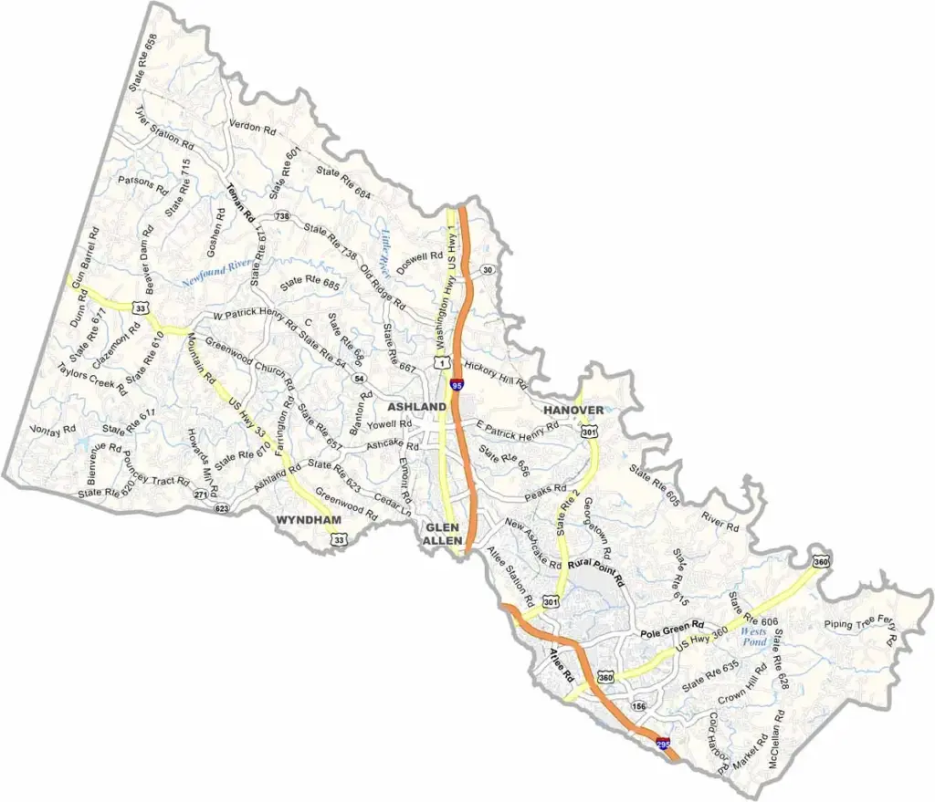
Hanover County is located just north of Richmond in central Virginia. It’s a place where history and modern life come together. Patrick Henry, the famous revolutionary orator, was born here, and visitors can still see his law office.
The county also played an important role during the Civil War. Today, Hanover is known for its excellent schools and growing suburban communities. Kings Dominion, a massive theme park, is also located here.
Tomatoes and corn are major crops in the area. Ashland is nicknamed “the center of the universe” because of its geographic location near the center of the county. Hanover continues to balance growth with the preservation of its history and character.
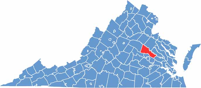
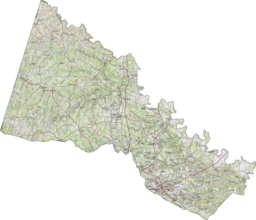
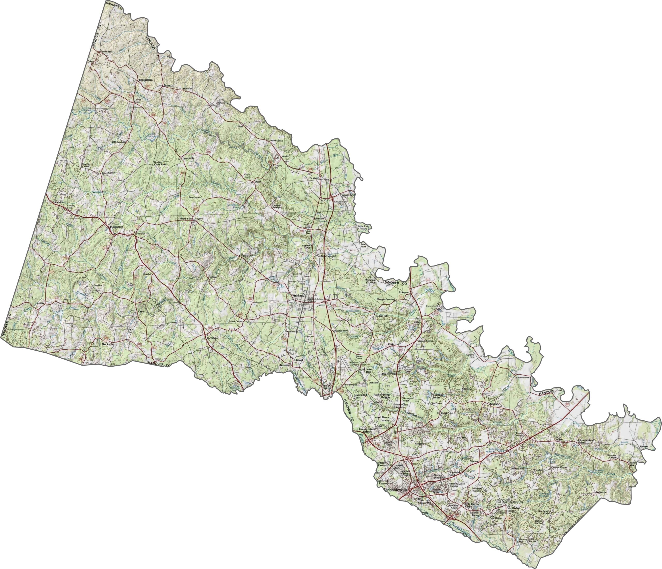
Hanover County sits in the heart of the Piedmont, where the elevation gradually slopes toward the coastal plain. The landscape features gentle rolling terrain without any dramatic peaks or deep valleys. Use our terrain map below to explore the elevation contours and topographic features.
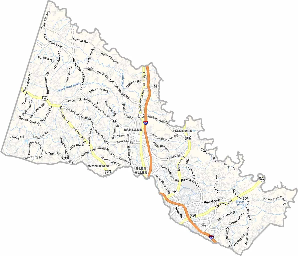
Several major roads run through Hanover County. Interstate 95 cuts directly through the middle, providing a clear route toward Richmond. Traffic tends to increase around Ashland but becomes lighter farther north.
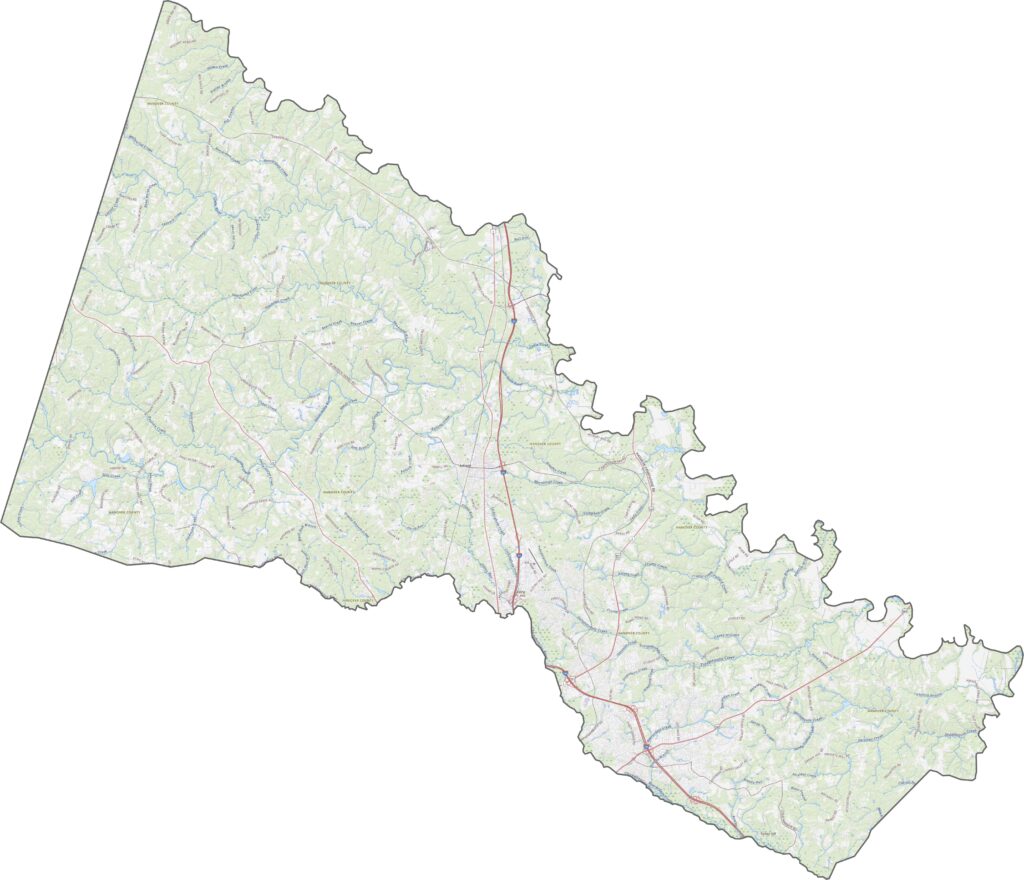
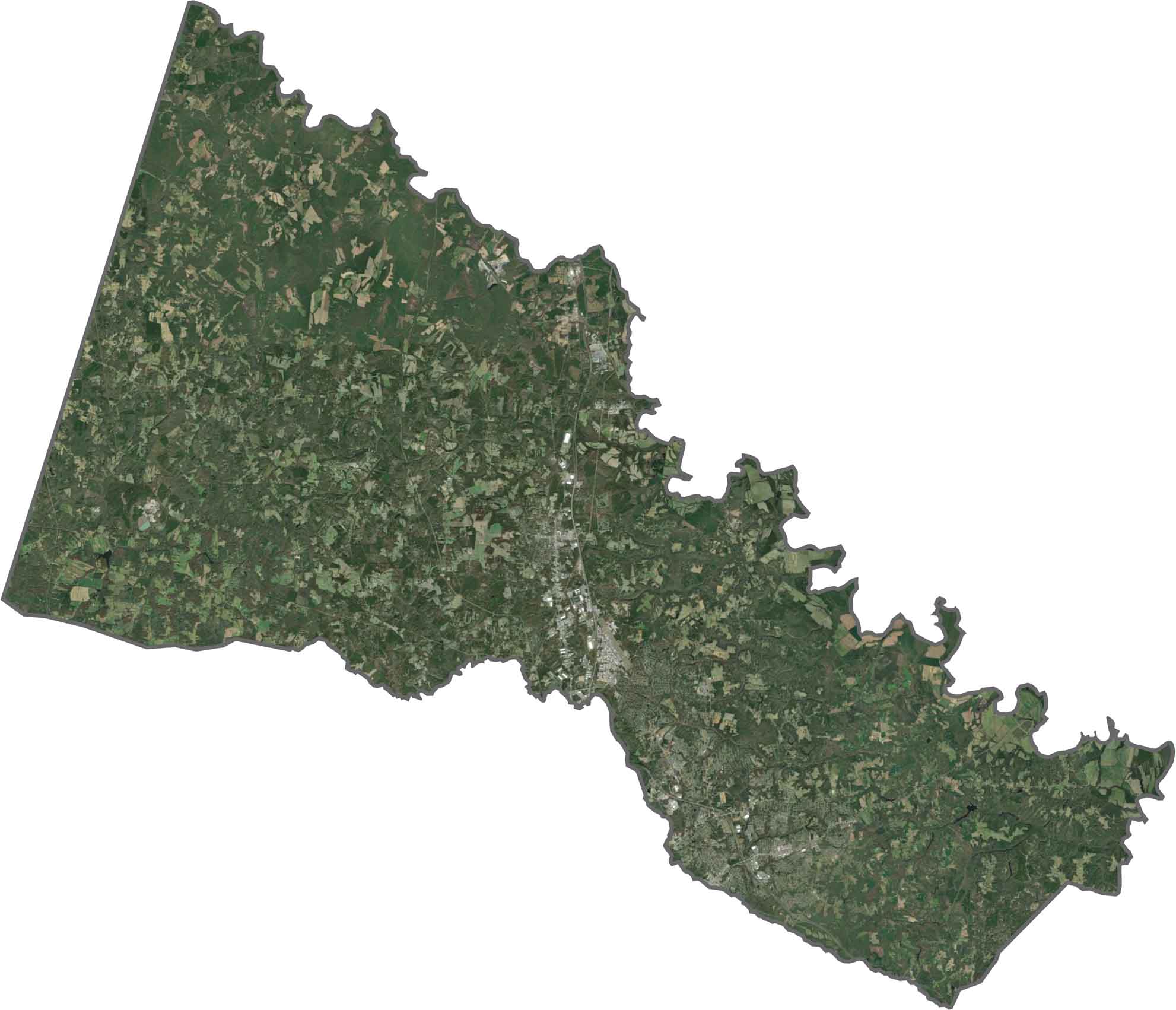
The eastern part of Hanover County appears greener, with more forests and wetlands. Development is more noticeable along the central I-95 corridor, especially around Ashland. Farmland creates a patchwork across the county, blending older rural areas with newer suburban development.
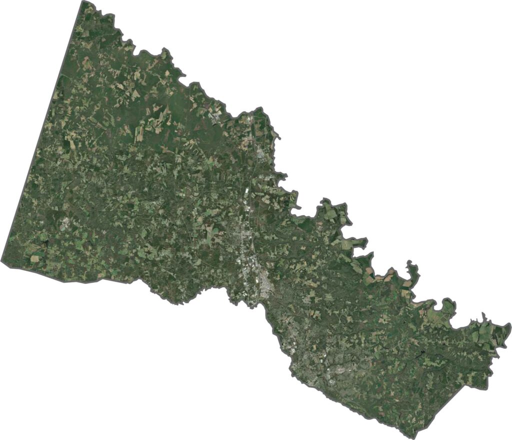
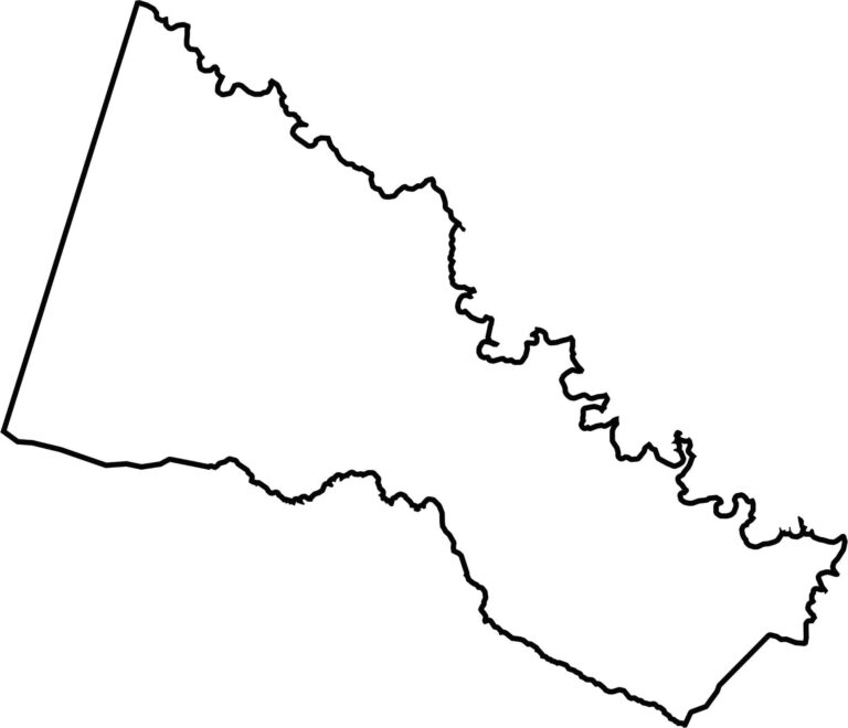
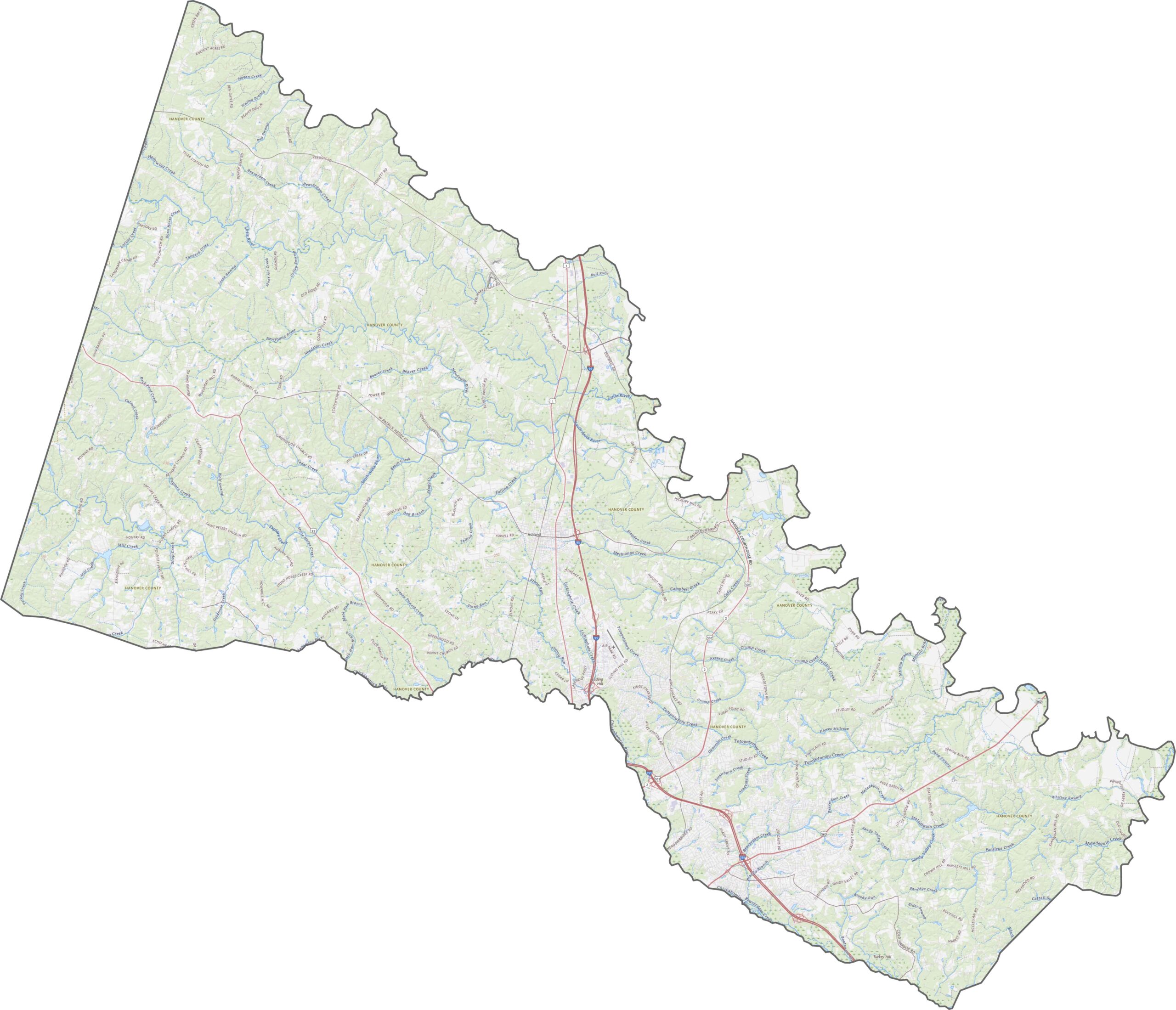
Hanover County has somewhat uneven boundaries, with rivers forming several sections of its borders. The Chickahominy River marks the southeastern edge, while the Pamunkey River forms part of the northern boundary. The county does not border another state and shares boundaries with Richmond to the south and several rural counties to the north and east.
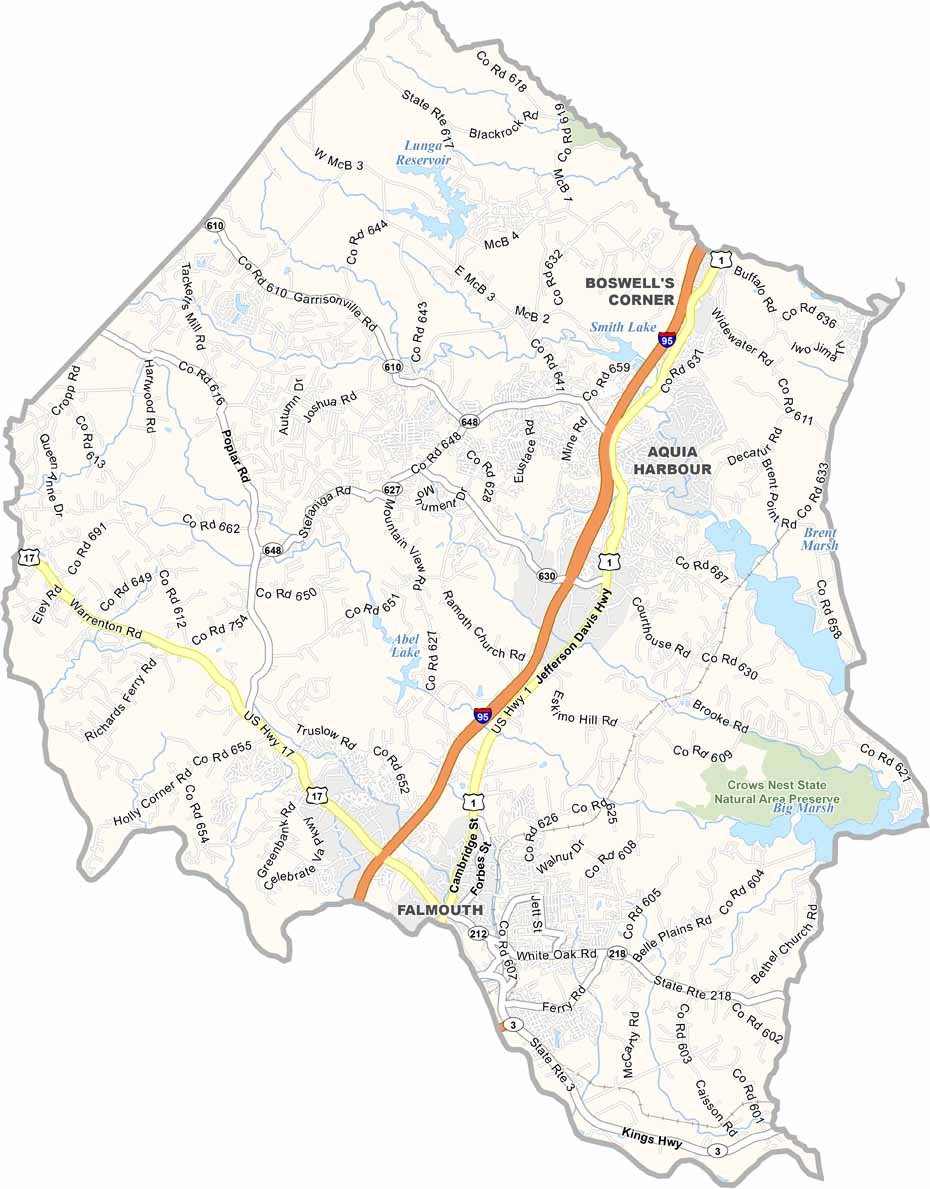
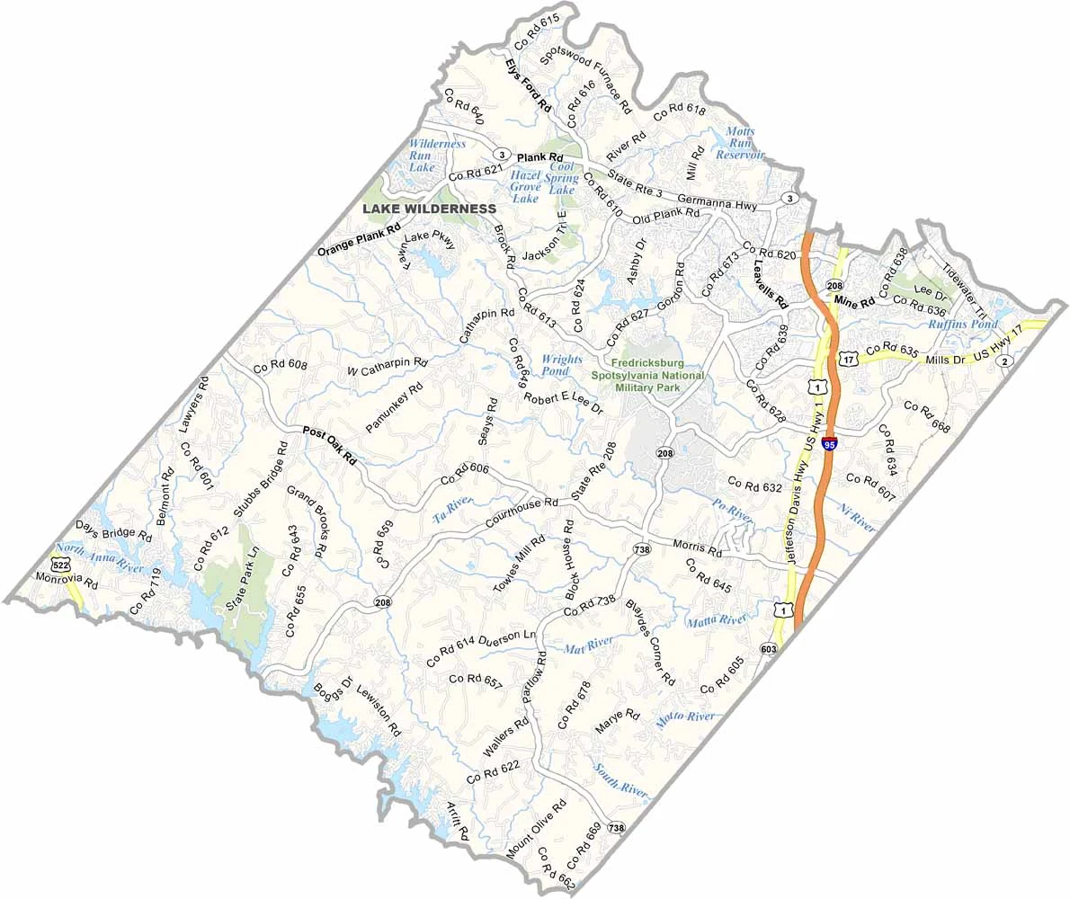
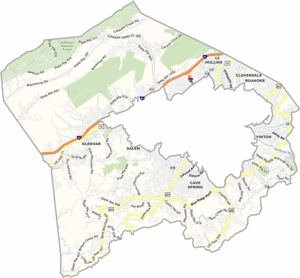
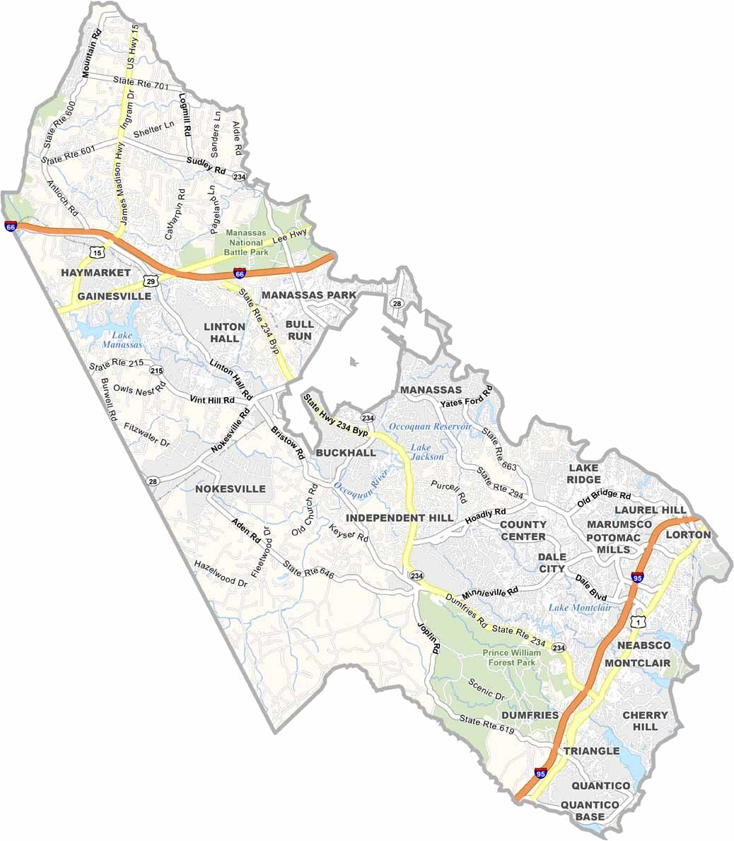
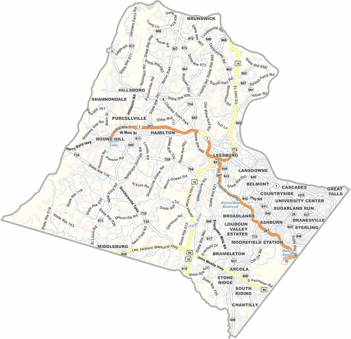
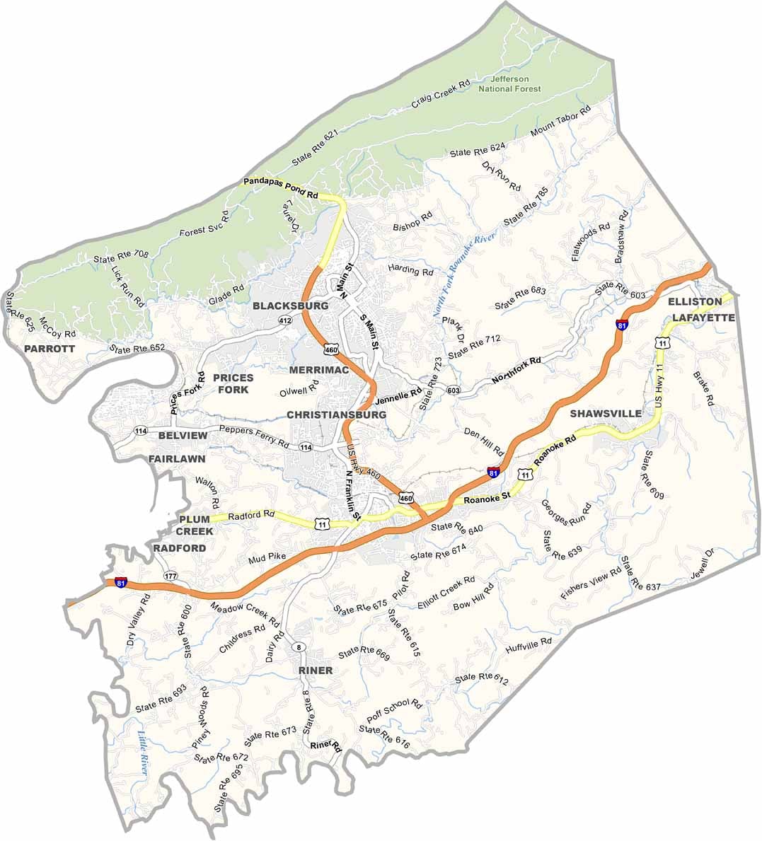

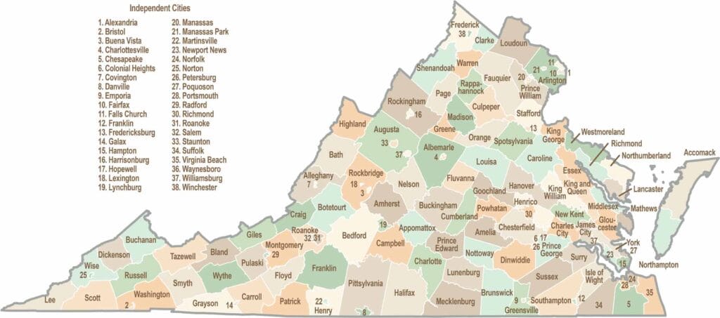
Virginia’s 95 counties bring together old-school roots, winding mountain roads, and Civil War history. One county is known for peanuts, another for presidents. Some feel distinctly rural, while others sit closer to the action around the nation’s capital.