
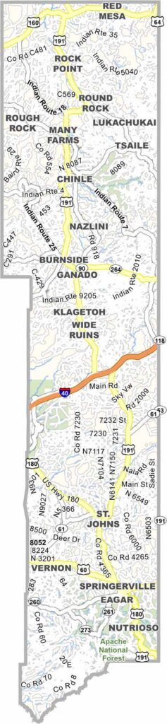
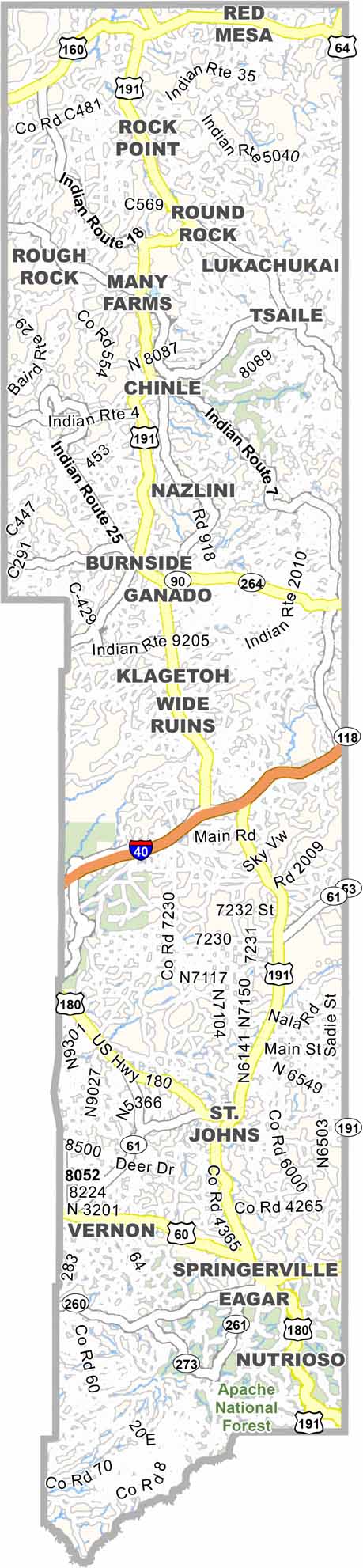
Apache County is located in northeast Arizona and borders both New Mexico and Utah. It is a large county covering more than 11,000 square miles, but it has a population of only about 71,000 people.
The Navajo Nation covers a large portion of the county. Window Rock, the capital of the Navajo Nation, is also located here. Many residents still speak Navajo as their first language. The county is mostly rural, with vast open spaces and striking red rock landscapes.
Canyon de Chelly National Monument is one of the county’s major attractions and is known for its ancient cliff dwellings. The Four Corners Monument, where four states meet, is also located in Apache County.
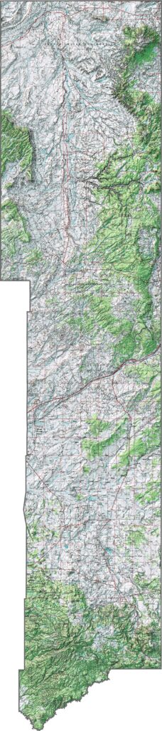
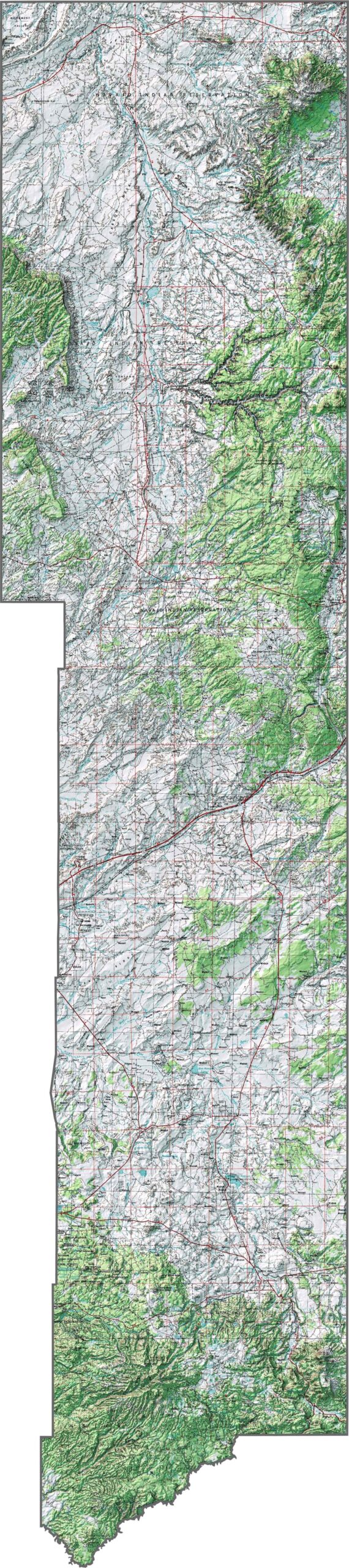
This topographic map shows Apache County’s varied terrain, from the high Colorado Plateau to deep canyons. You can see the dramatic elevation changes across this northeastern Arizona county.
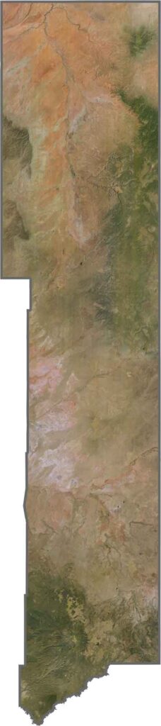
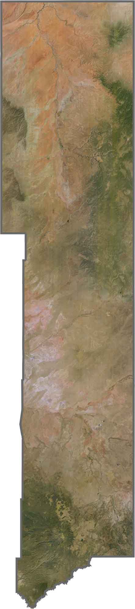
This satellite map reveals Apache County’s red rock formations and vast open spaces. Forested mountains contrast with colorful desert landscapes stretching across much of northeastern Arizona.
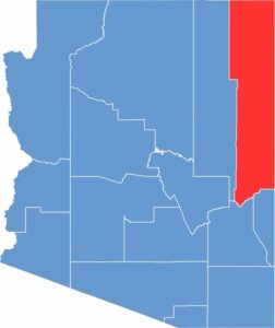
This blank map outlines Apache County’s distinctive shape along Arizona’s northeastern border. The county covers a vast area, extending between New Mexico and Utah.

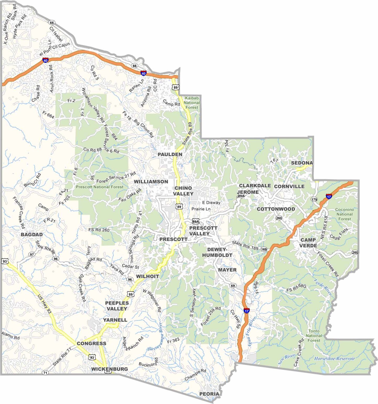
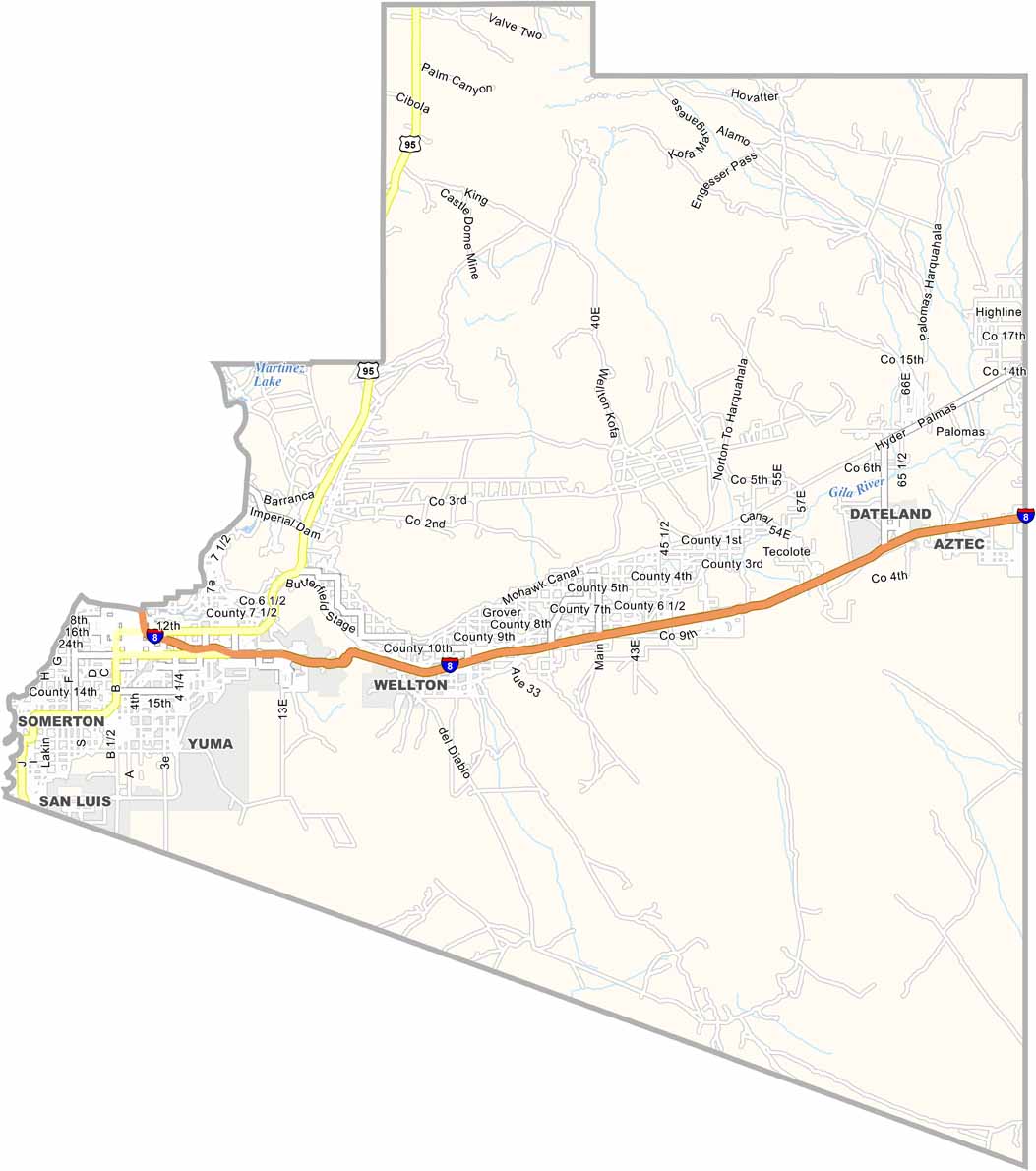
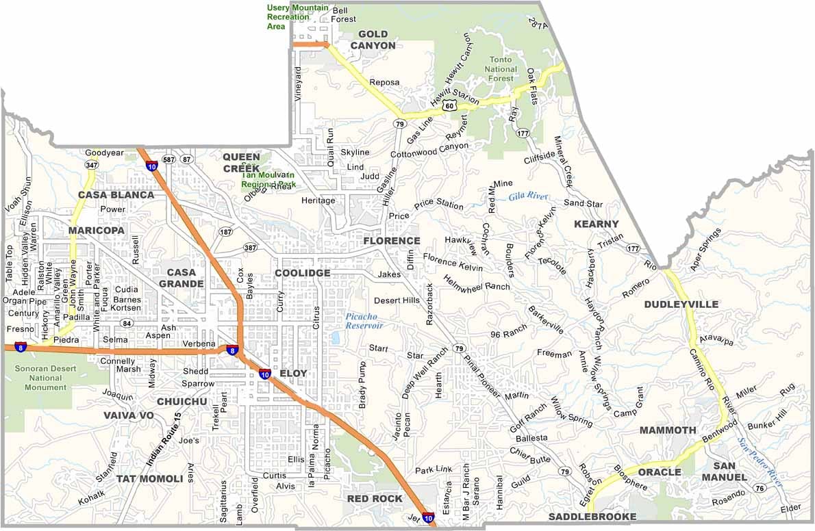
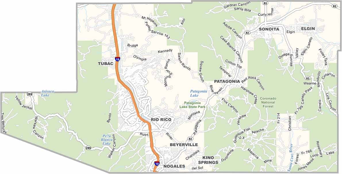
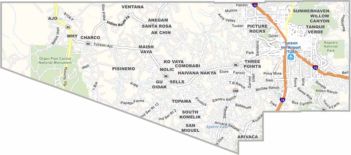
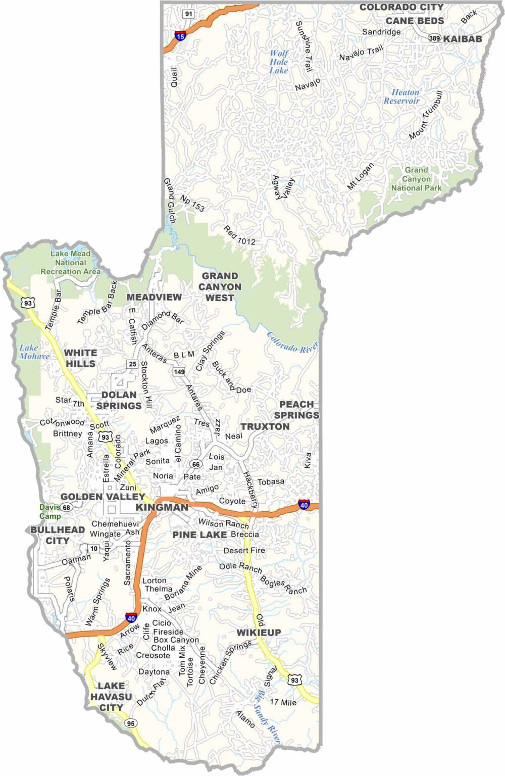

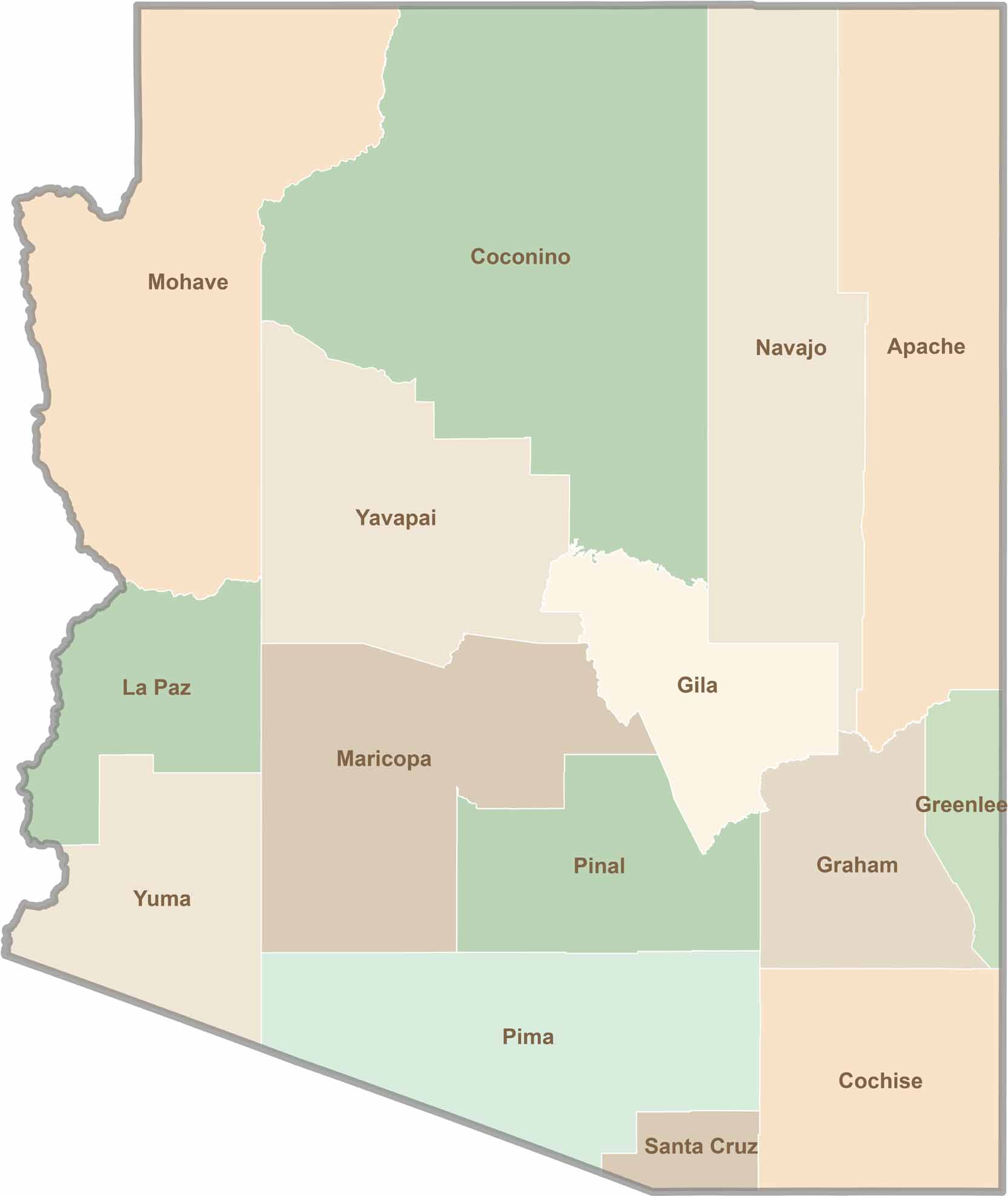
Explore all 15 counties in Arizona with our clear and colorful county map. Discover major cities, highways, landmarks, and geographic features across the Grand Canyon State. Whether you're planning an Arizona road trip, studying the state's geography, or exploring its diverse landscapes, our Arizona county map is a helpful resource for travelers, students, and geography enthusiasts.