
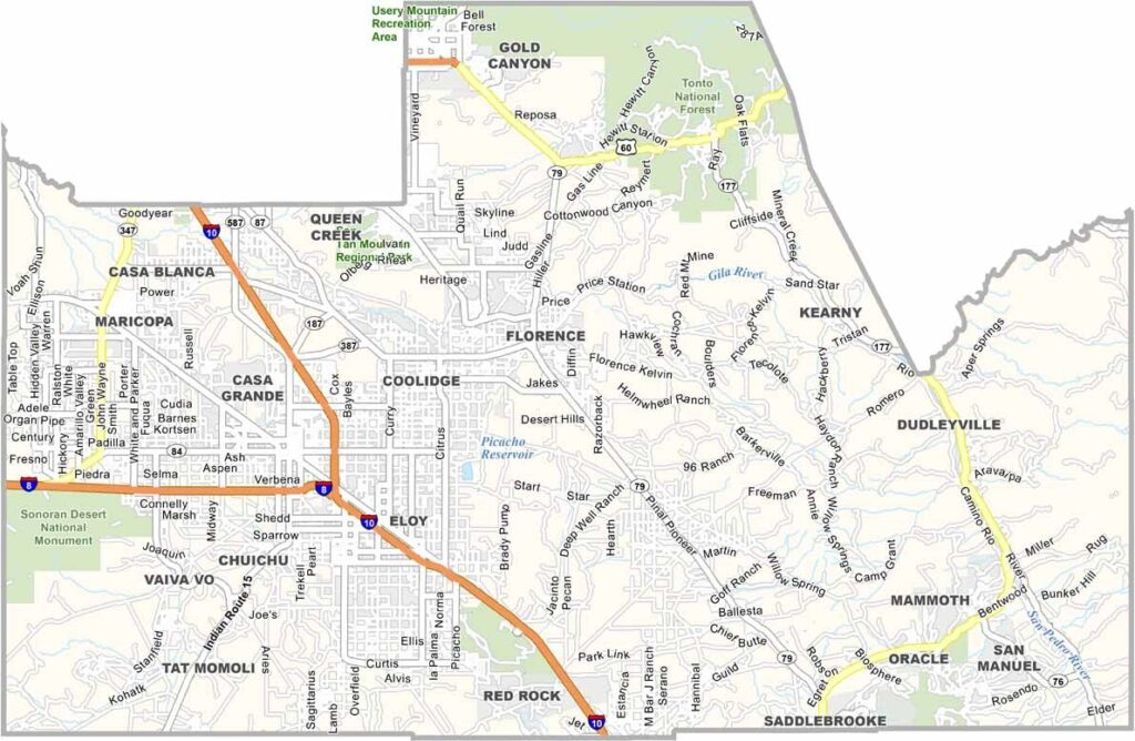
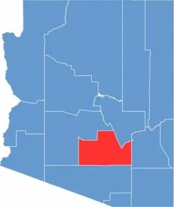
Pinal County is located in central Arizona between Phoenix and Tucson. Around 465,000 people live in the county, with Florence serving as the county seat.
The county has experienced rapid growth, with many people who commute to Phoenix choosing to move there. Affordable housing and open spaces are major attractions for new residents. Casa Grande is the largest city in the county.
The landscape is mainly desert, with some mountainous areas. Farming remains an important industry, particularly cotton production. Copper mining also has a long history in the region. The county is home to several state and national parks.
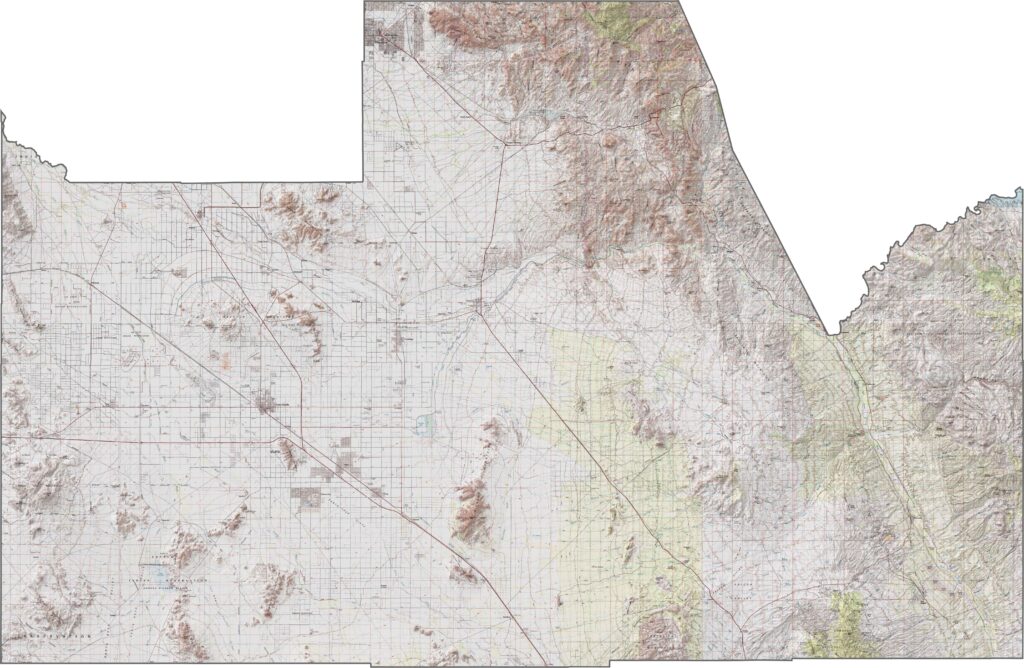
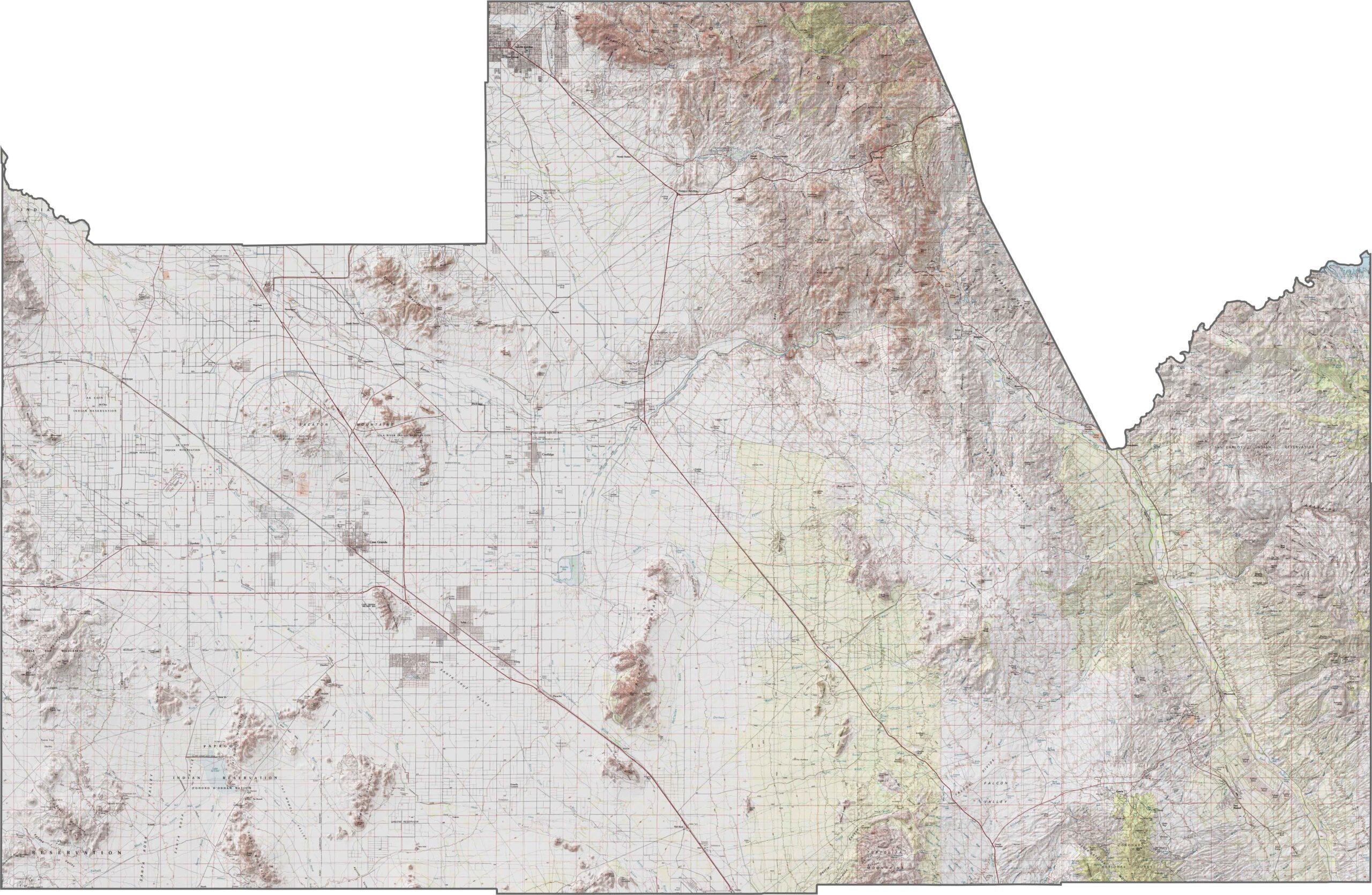
This topographic map of Pinal County reveals the transition between desert and mountains. The contour lines trace the Superstition Mountains and other ranges rising from the central Arizona desert.
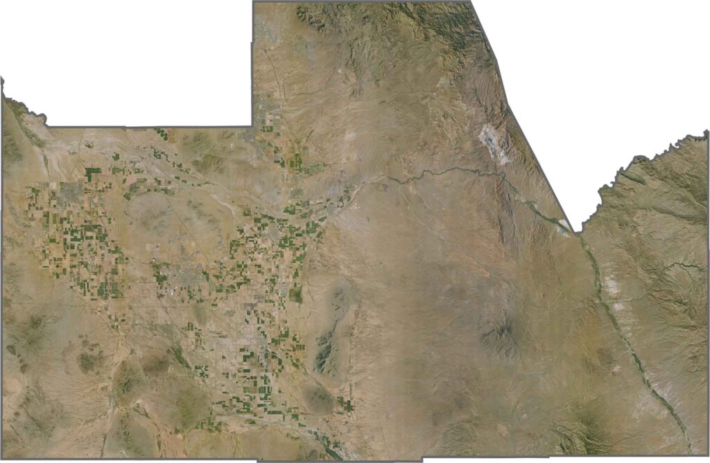
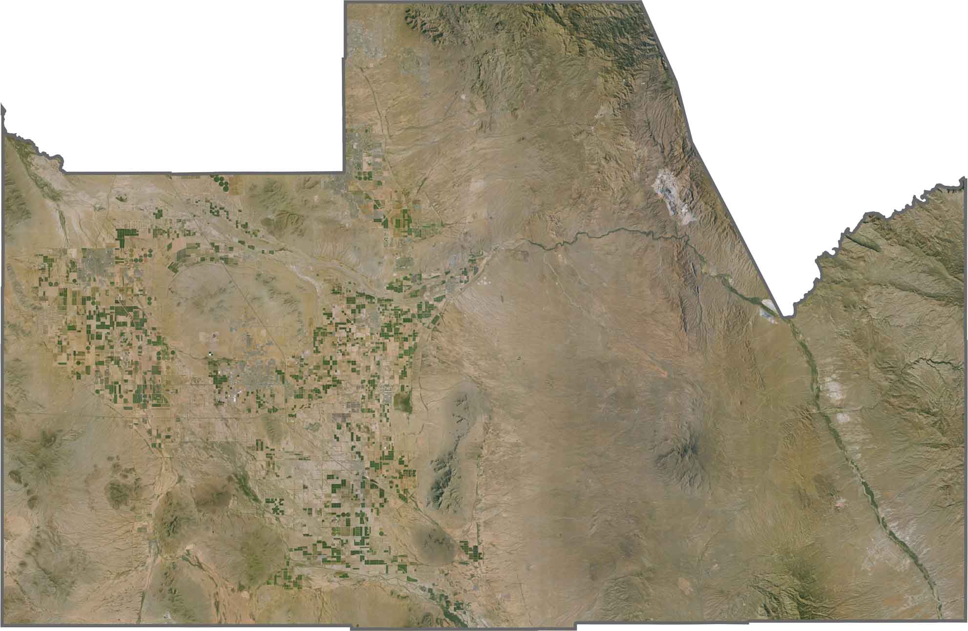
This satellite view of Pinal County shows its position between metropolitan Phoenix and rural southern Arizona. You can see organized agricultural fields contrasting with undeveloped desert and mountain terrain.
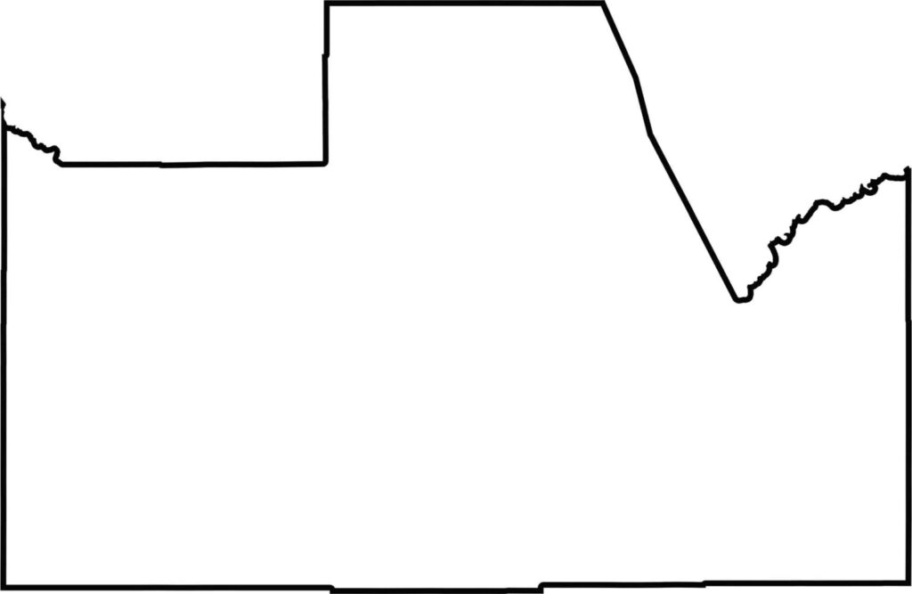
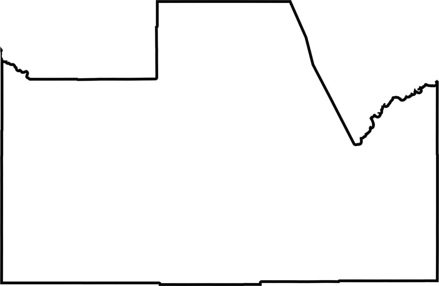
The blank map of Pinal County shows its irregular shape in central Arizona. The county is positioned between Phoenix and Tucson and does not touch any state borders.
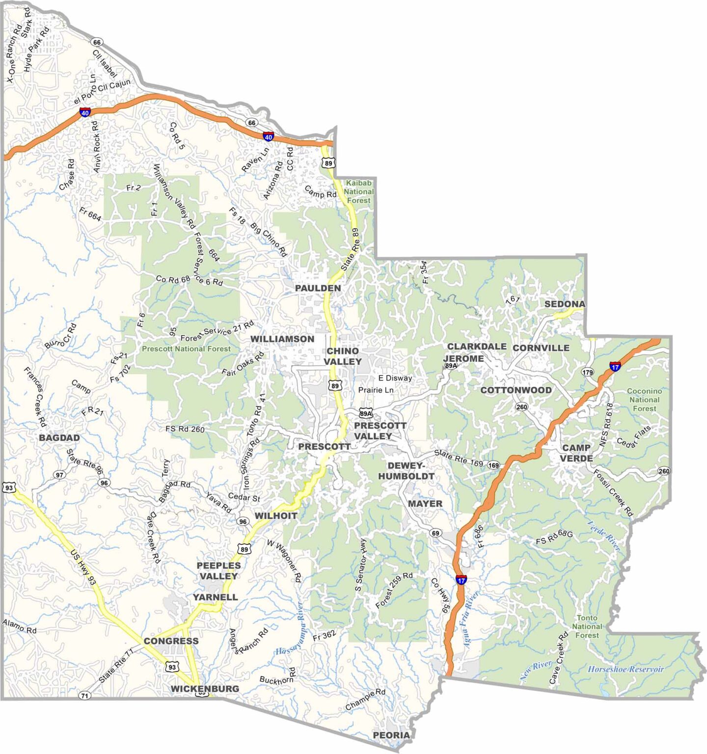
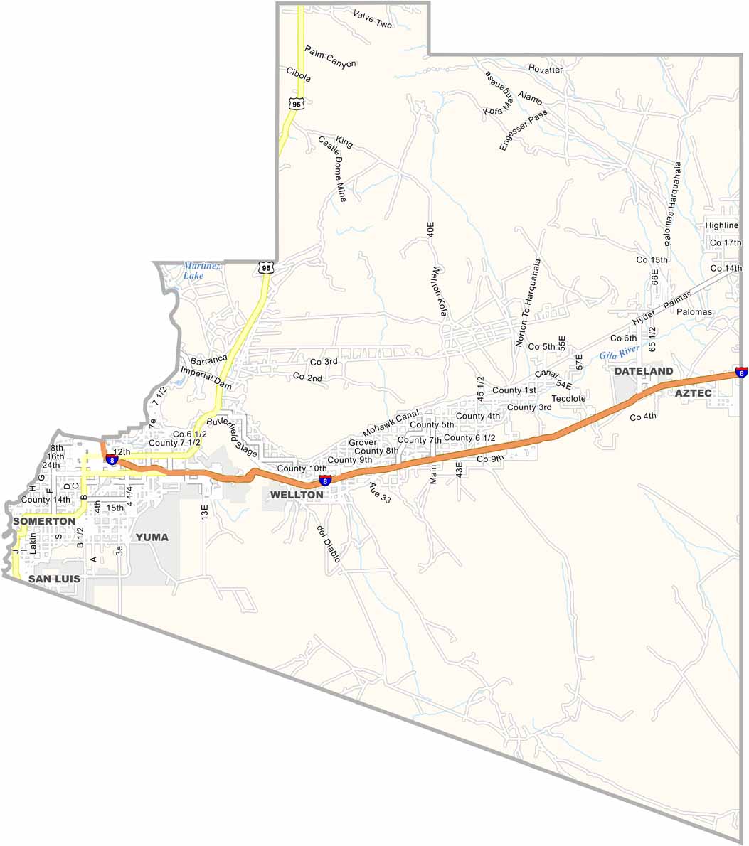
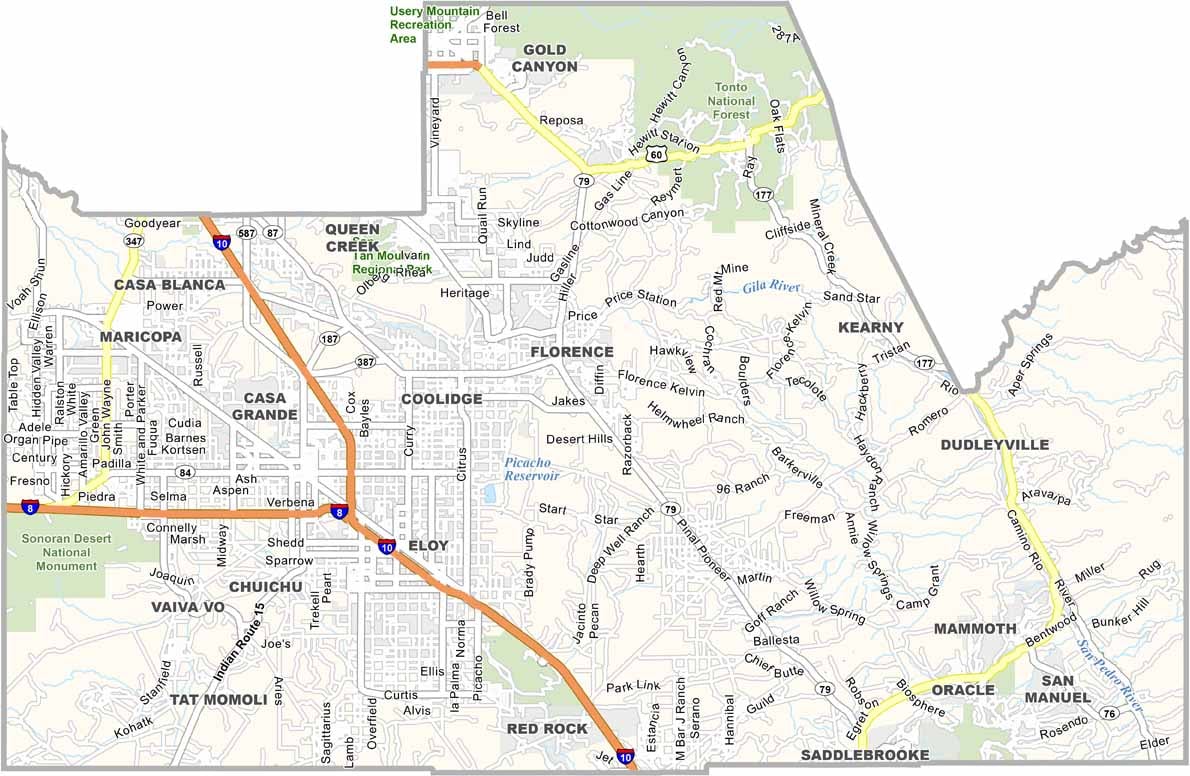

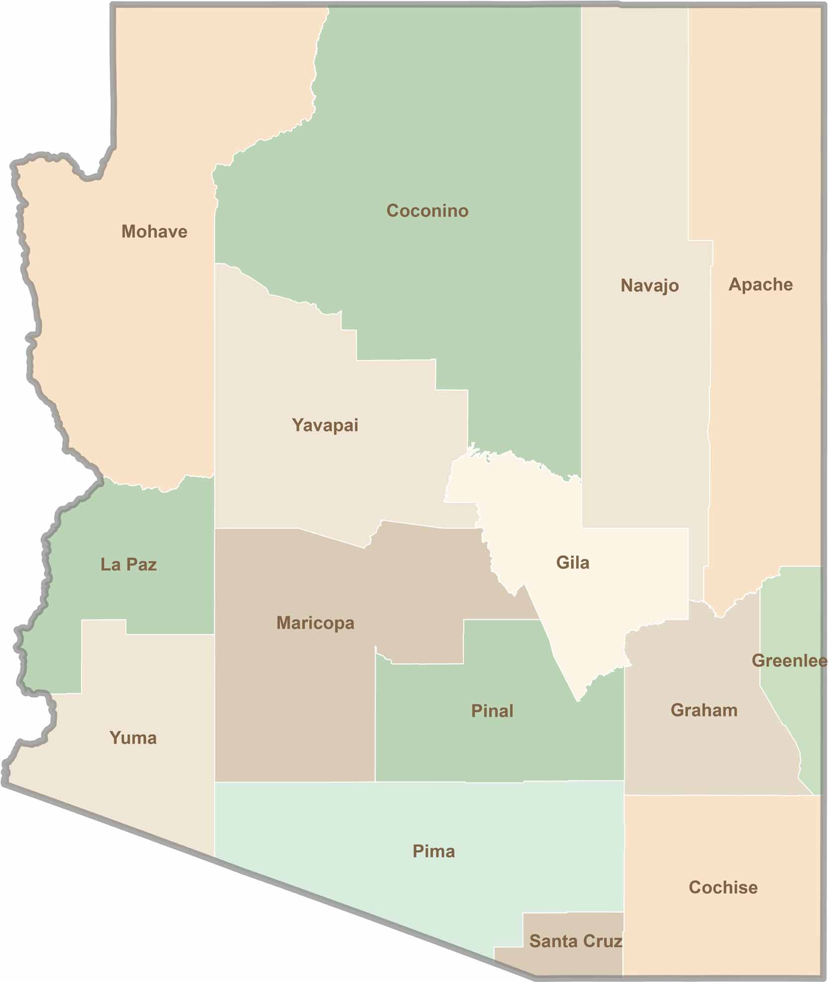
Explore all 15 counties in Arizona with our clear and colorful county map. Discover major cities, highways, landmarks, and geographic features across the Grand Canyon State. Whether you're planning an Arizona road trip, studying the state's geography, or exploring its diverse landscapes, our Arizona county map is a helpful resource for travelers, students, and geography enthusiasts.