
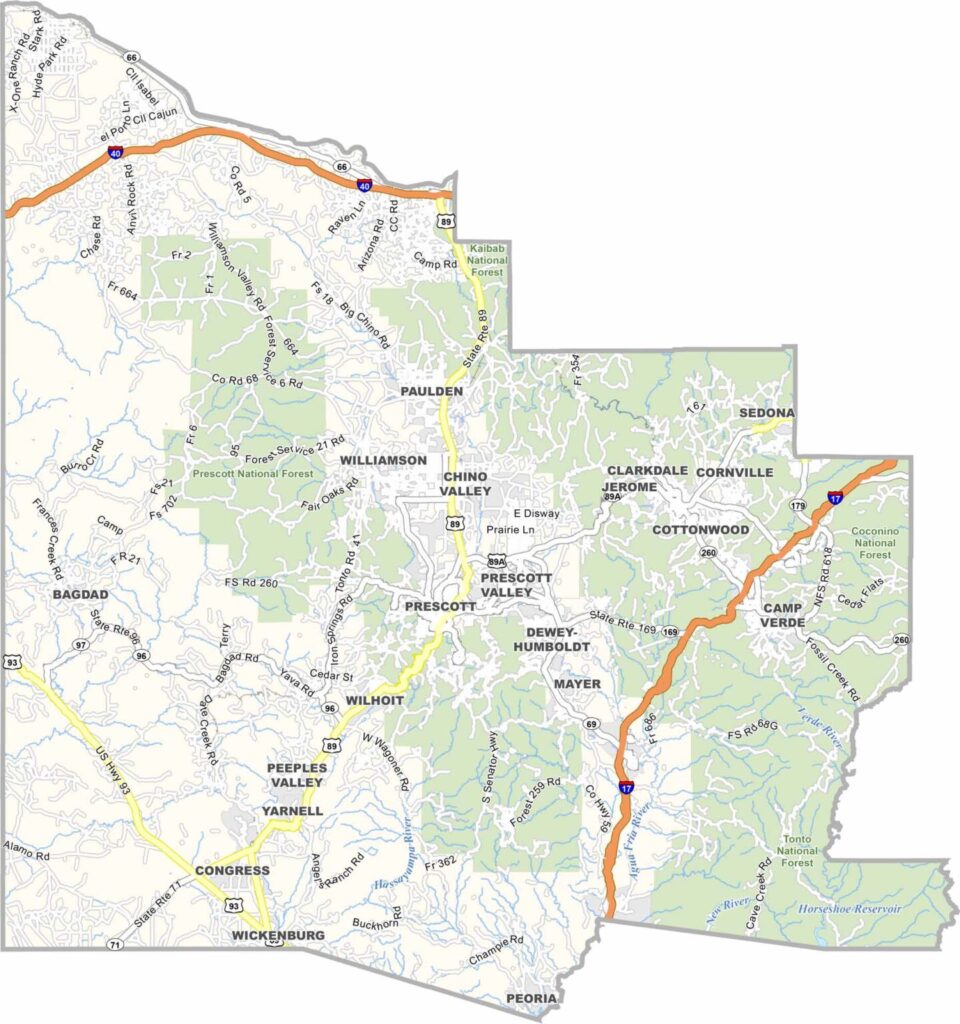
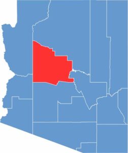
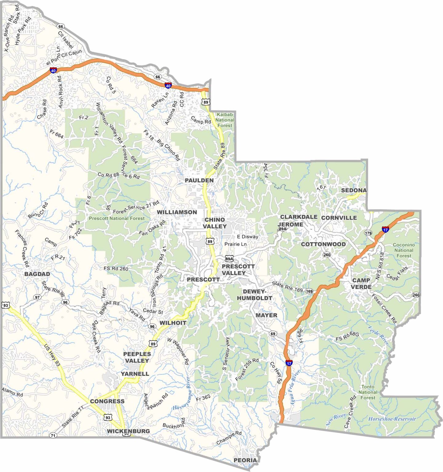
Yavapai County is located in central Arizona and has a population of about 250,000 people. Prescott serves as the county seat. Mining has played an important role in the county’s history, with historic towns such as Jerome reflecting its mining past.
The area is known for its diverse landscape, which includes both high desert and mountains. Sedona, famous for its red rock formations and spiritual tourism, is partly located within the county. Prescott National Forest also covers a large portion of the area.
The climate is generally milder than in Phoenix, making the county attractive to many residents, especially retirees. Outdoor activities such as hiking and biking are also popular throughout the region.
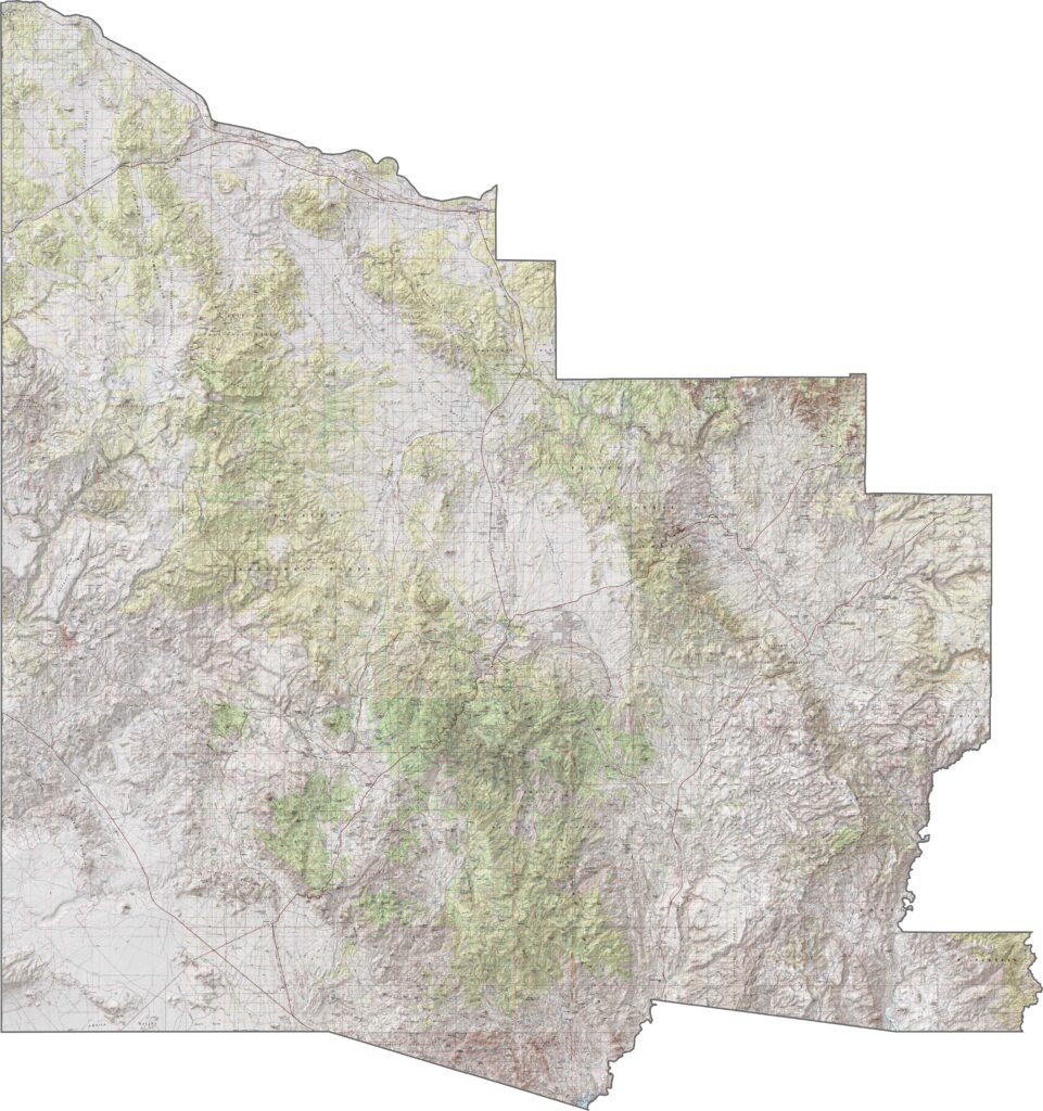
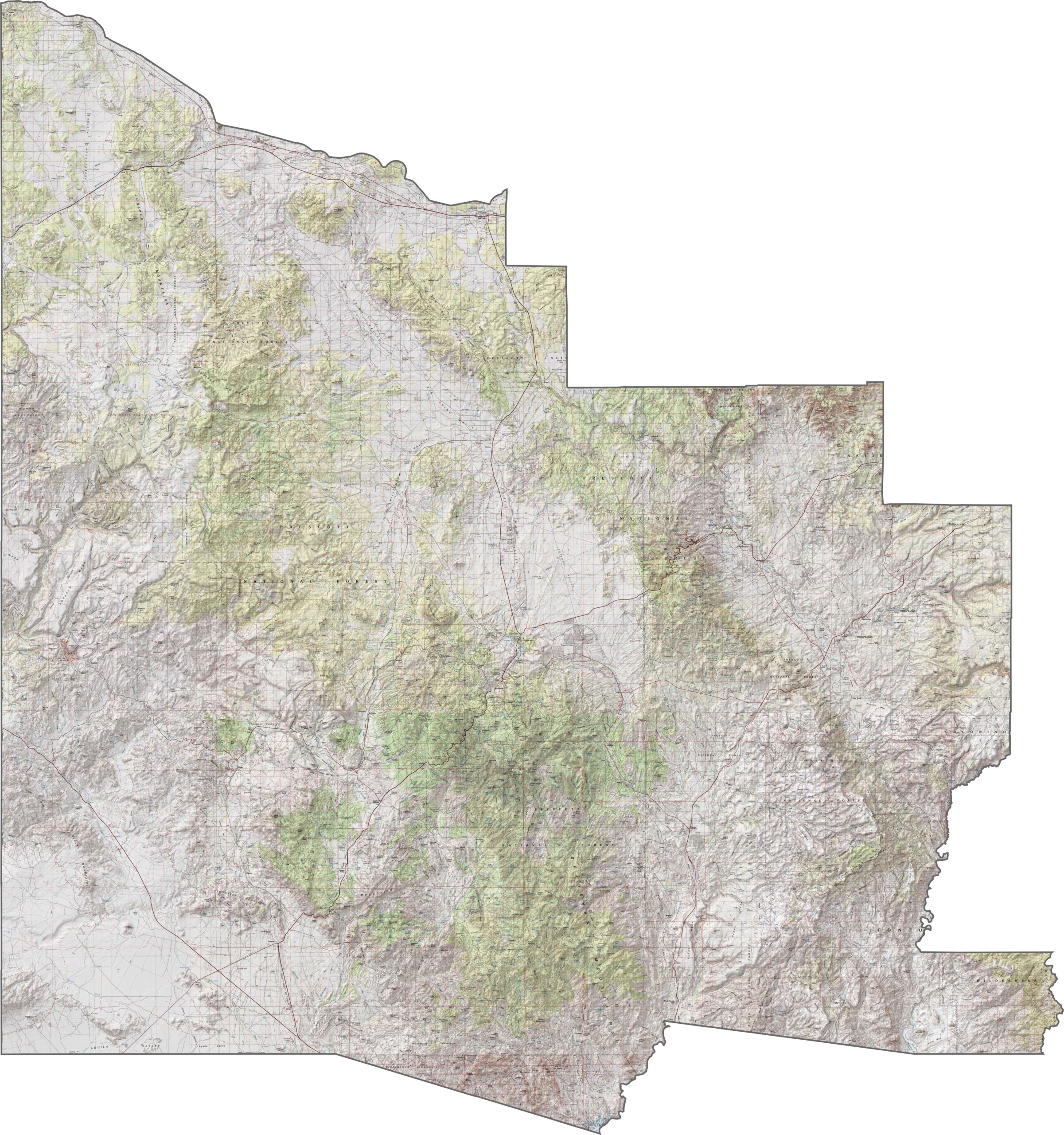
This topographic map of Yavapai County highlights its central transition zone between desert and plateau. Use our zoom tool to explore the contour lines that reveal deep river valleys cutting through the terrain.
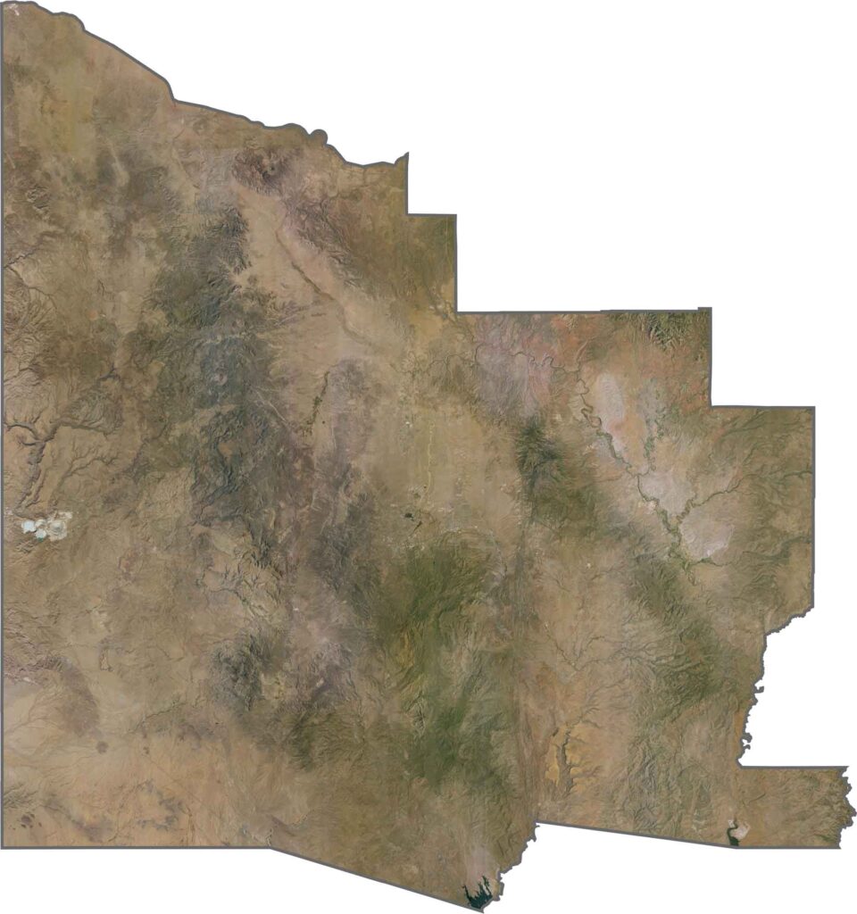
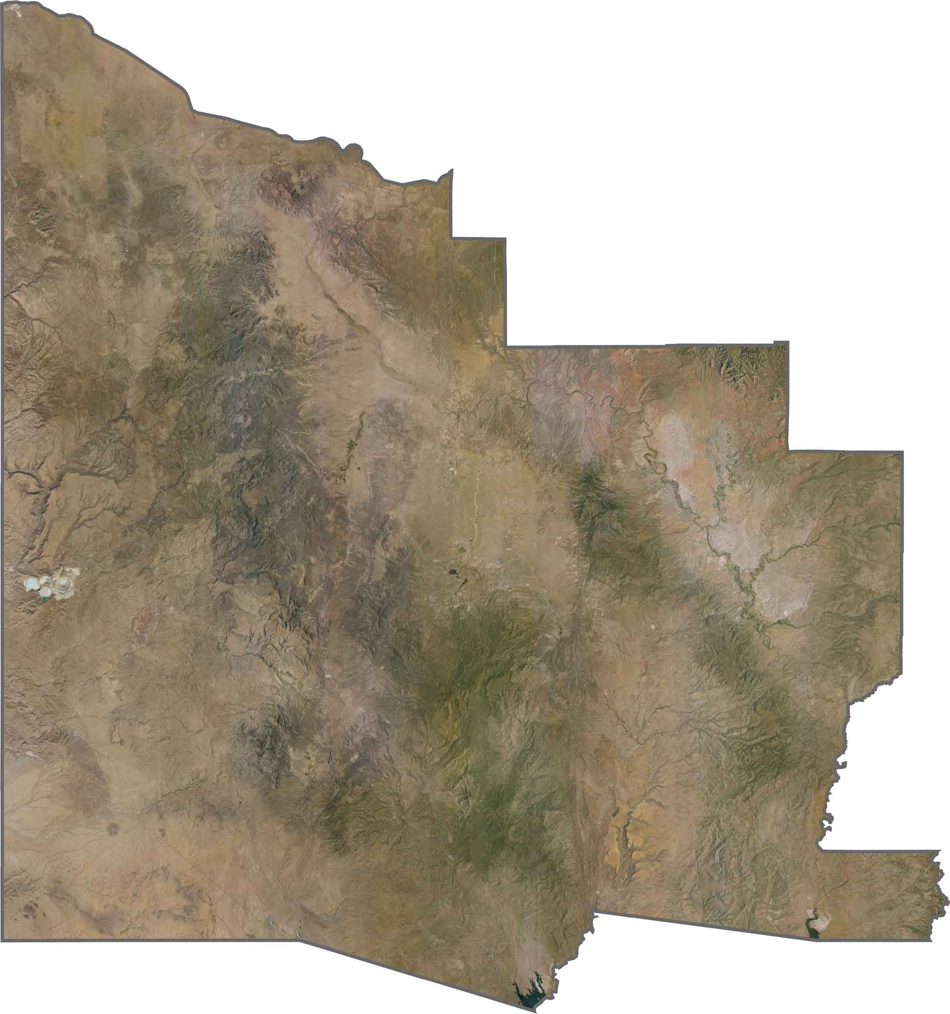
This satellite imagery shows Yavapai County’s diverse landscape, transitioning from red rock formations to pine forests. You can trace river valleys winding through the terrain between the Phoenix area and the Colorado Plateau.
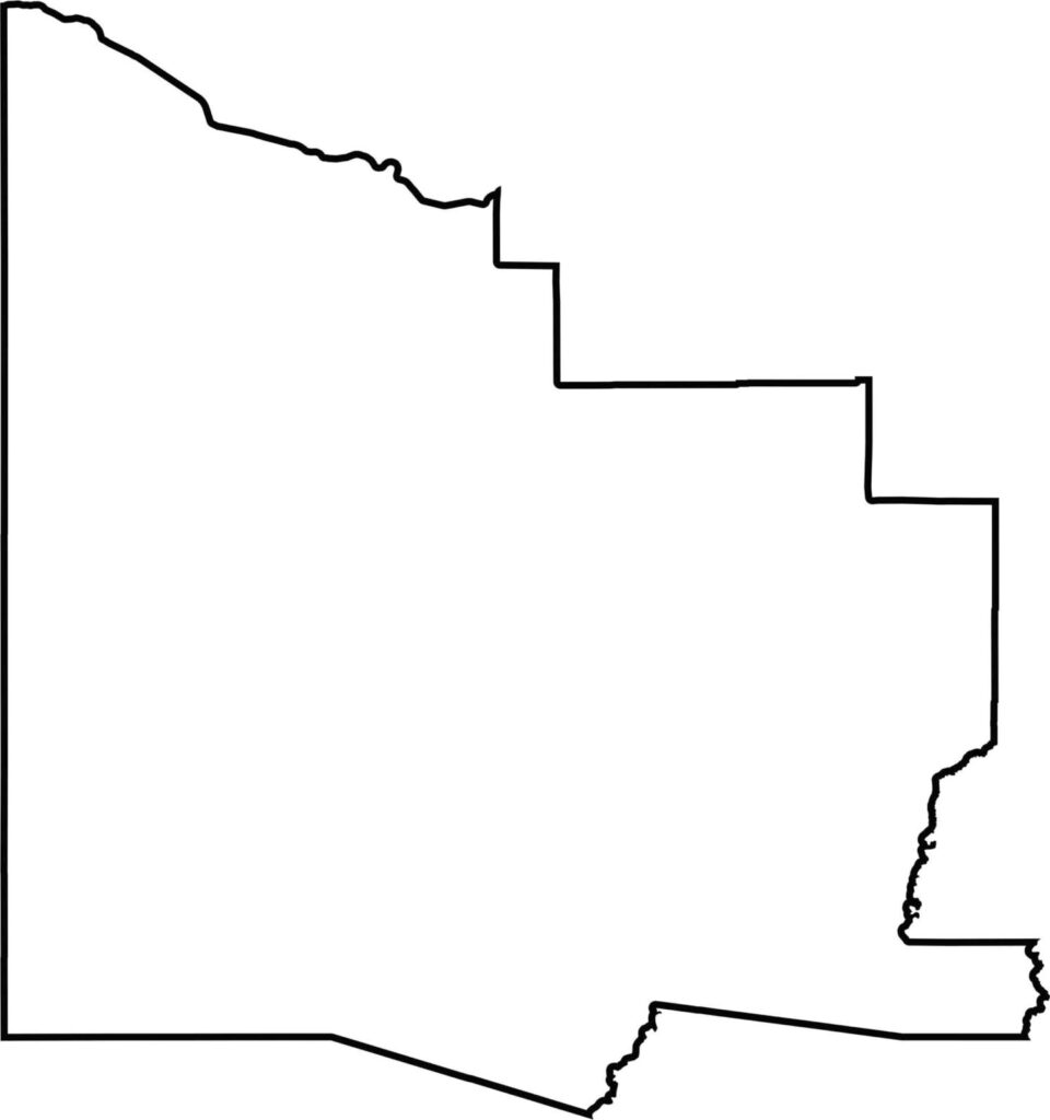
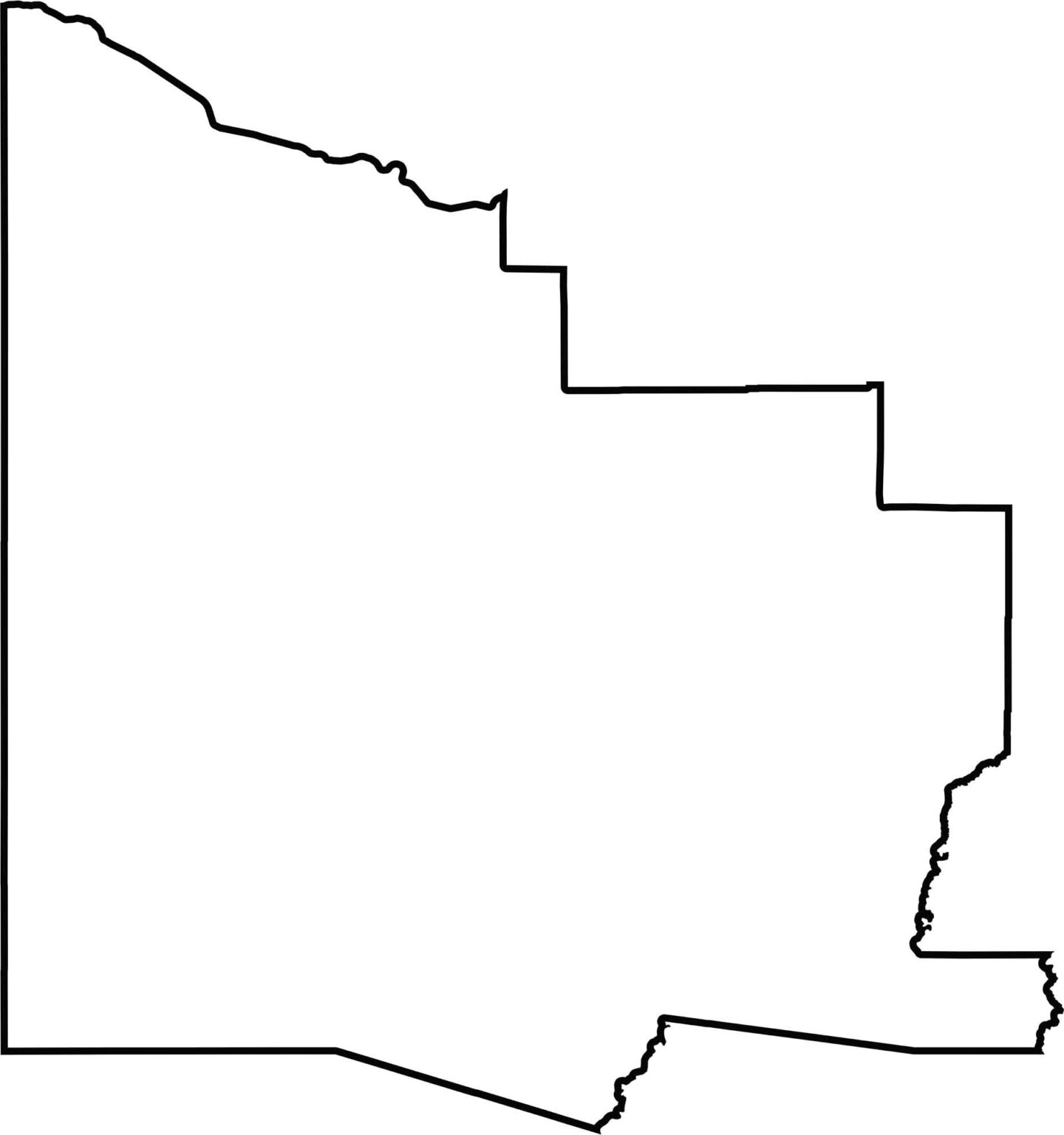
Take a look at this blank Yavapai County map, which shows its irregular, puzzle-piece shape in central Arizona. The outline reveals how the county forms a transition zone between the Phoenix area and northern Arizona.
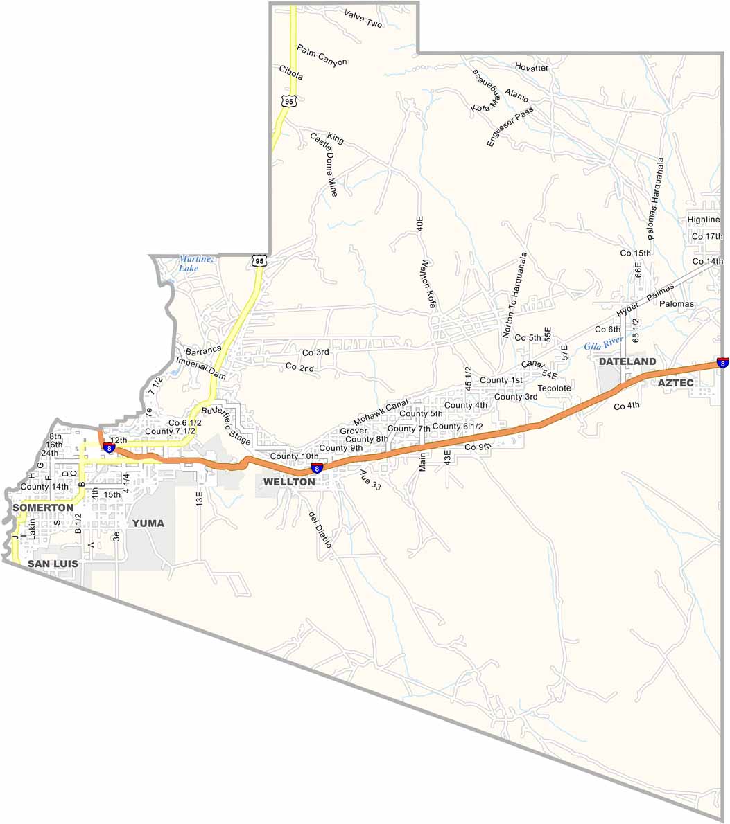
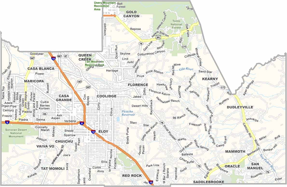
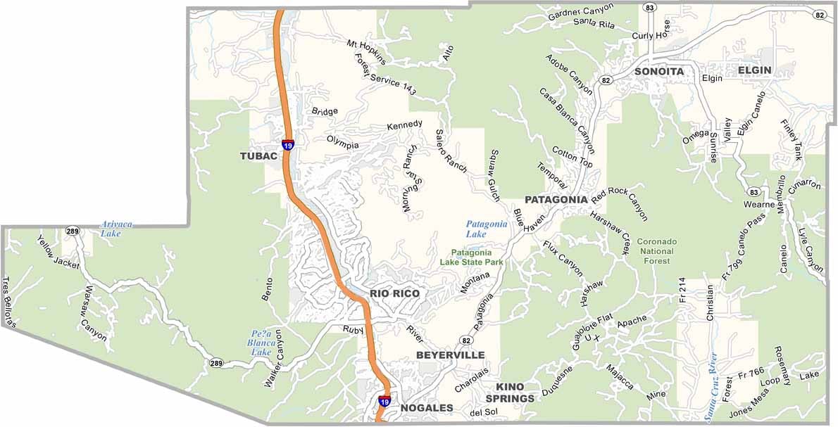
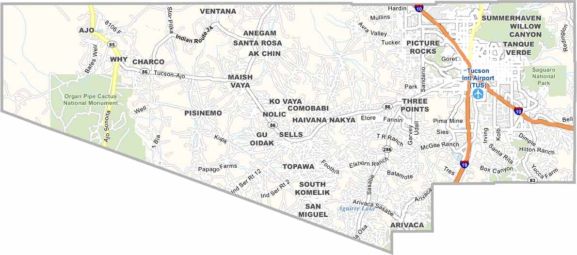
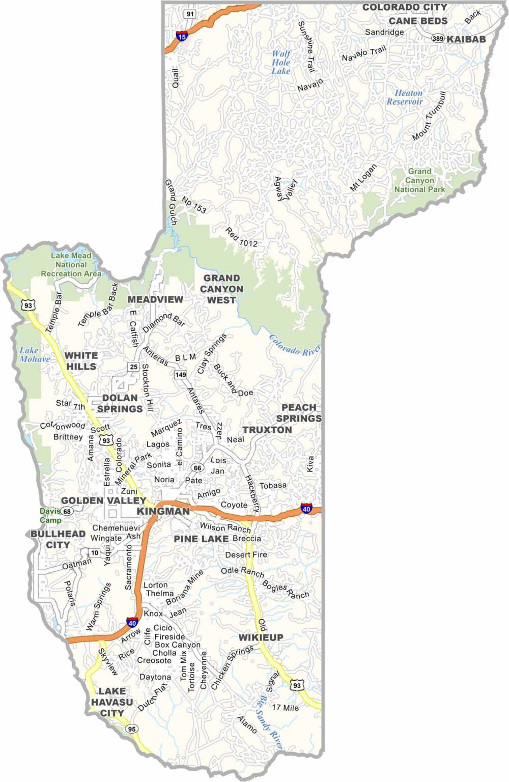

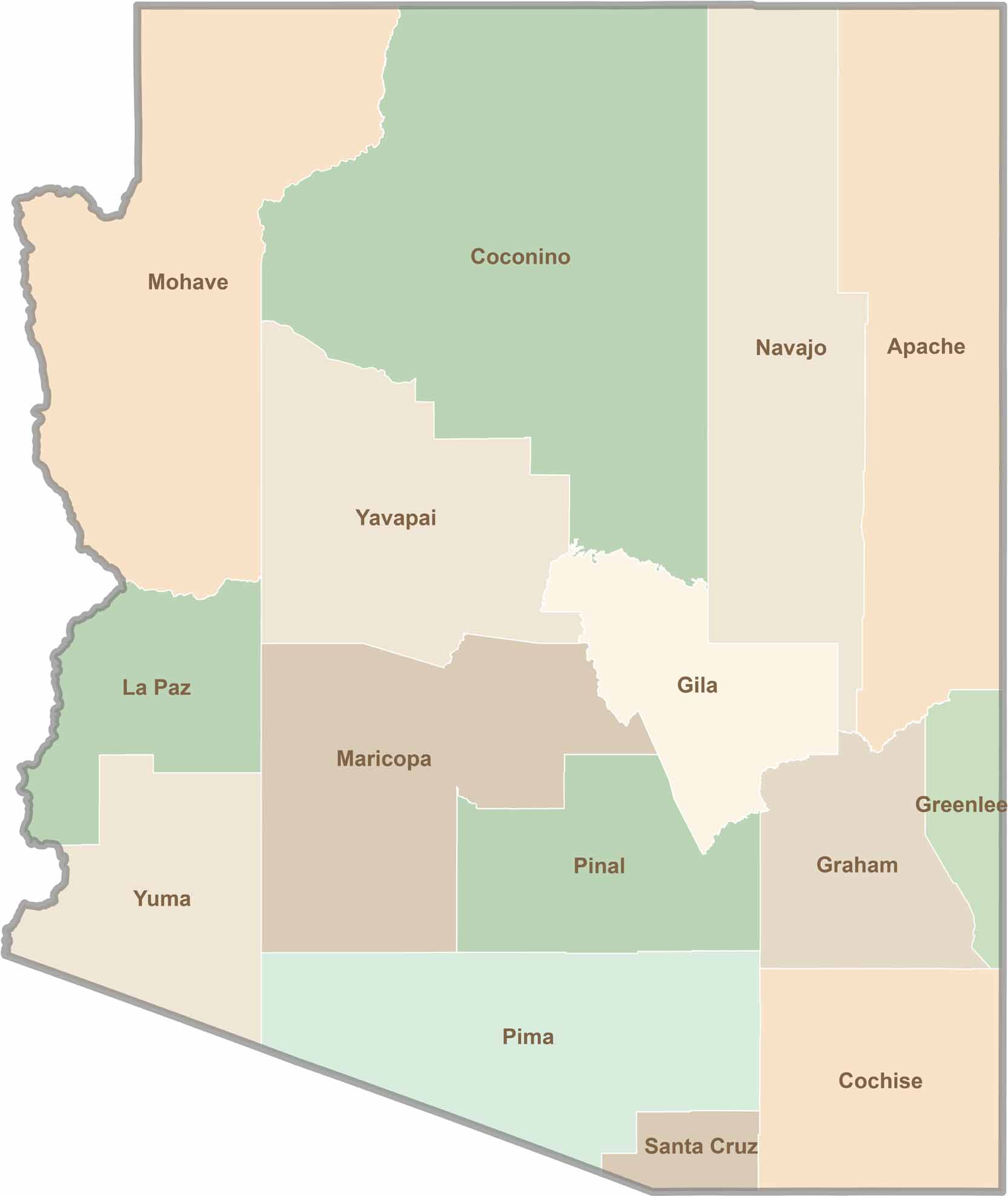
Explore all 15 counties in Arizona with our clear and colorful county map. Discover major cities, highways, landmarks, and geographic features across the Grand Canyon State. Whether you're planning an Arizona road trip, studying the state's geography, or exploring its diverse landscapes, our Arizona county map is a helpful resource for travelers, students, and geography enthusiasts.