
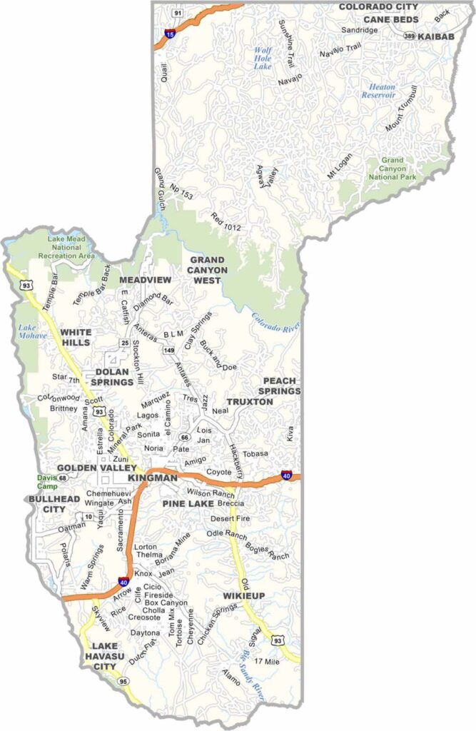
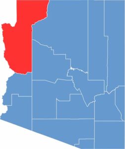
Mohave County is located in northwest Arizona, bordering Nevada and California. It is a large county with a population of about 220,000 people. Kingman serves as the county seat, while Lake Havasu City, known for the London Bridge, is also located here. Route 66 passes through the county and attracts many visitors.
The Colorado River forms the county’s western border and creates several popular lakes. A small portion of Grand Canyon National Park is also located within the county. The landscape mainly consists of desert and mountains. Summers are extremely hot, while winters are generally mild. Tourism is an important industry, especially for water sports and off-road recreation.
Mining and ranching continue to play important roles in the local economy. The county has experienced rapid growth as many retirees have moved to the area. However, it also faces challenges such as water scarcity and limited job opportunities. Despite these issues, people continue to be attracted by its natural beauty and outdoor recreational opportunities.
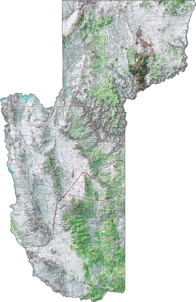
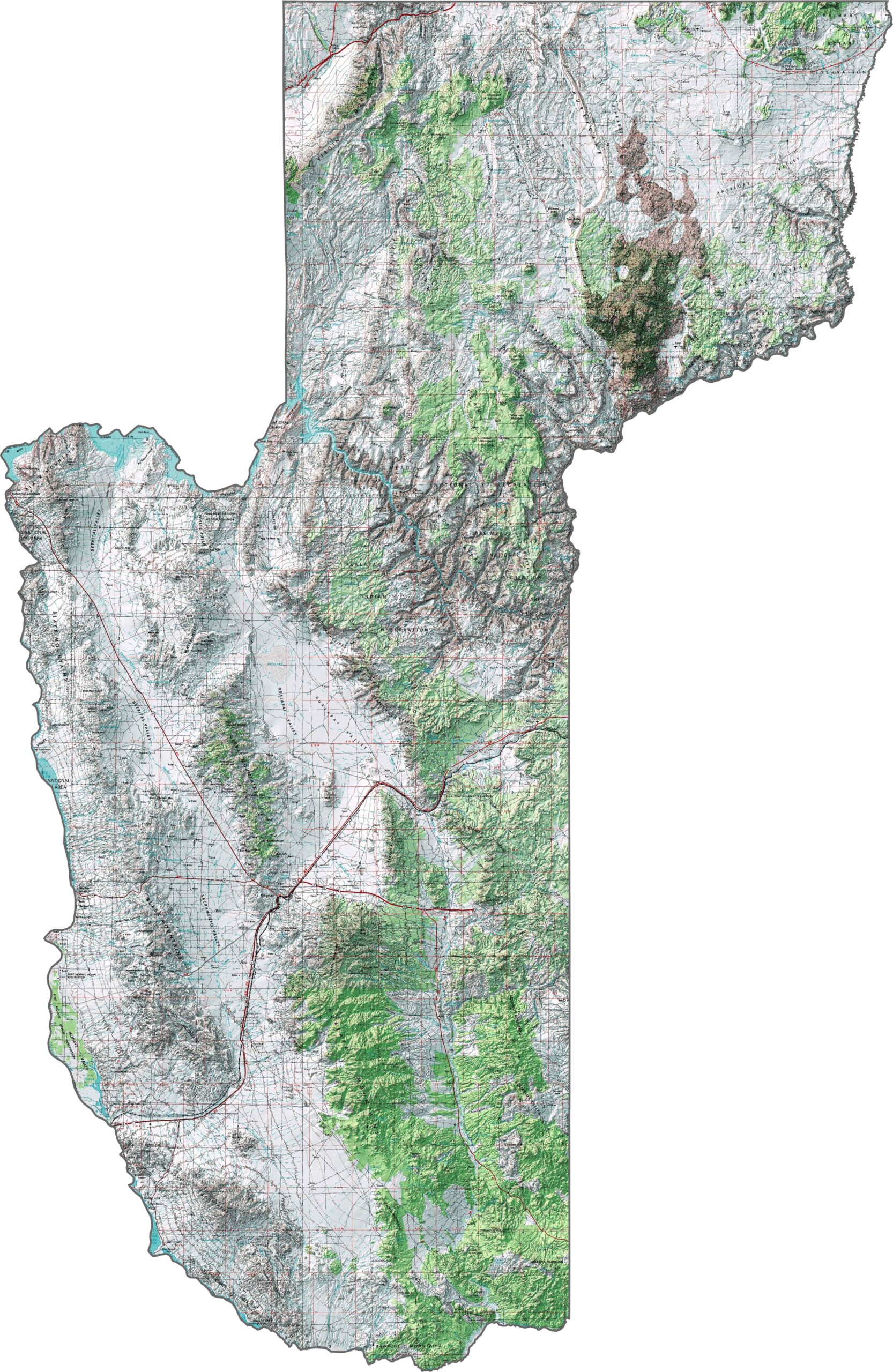
Look at how this topographic map of Mohave County captures its section of the Grand Canyon and vast desert landscapes. The elevation lines reveal deep canyons, the path of the Colorado River, and isolated mountain ranges across the county.
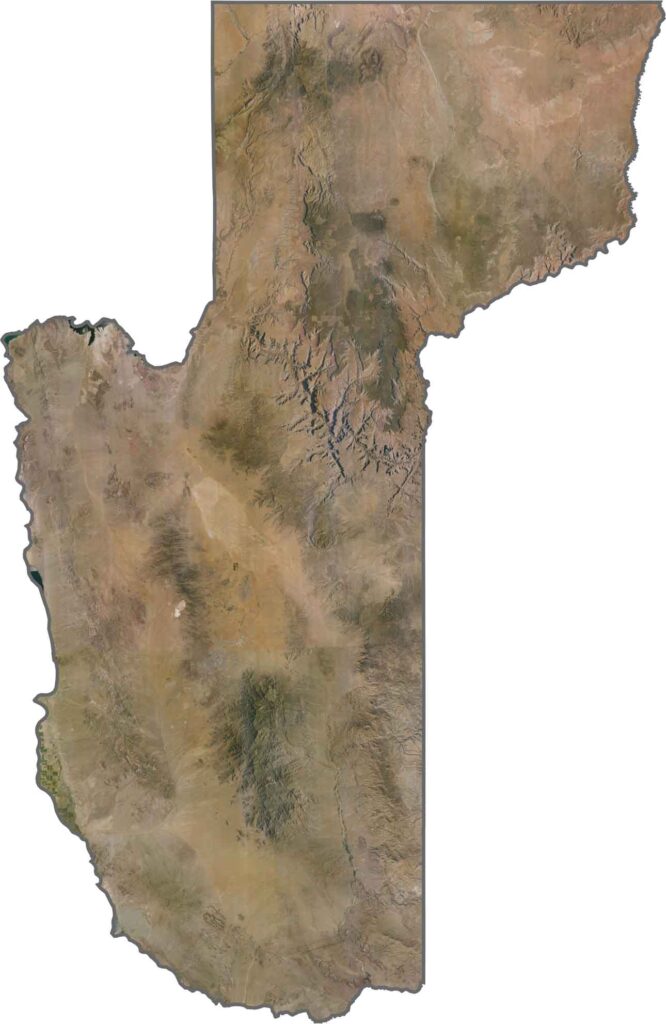
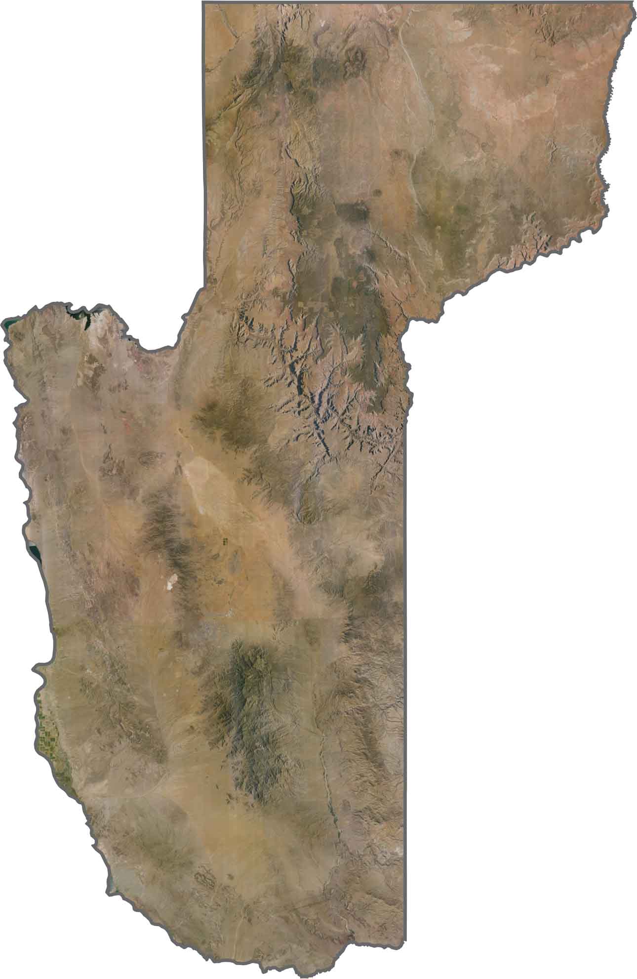
This satellite view of Mohave County highlights its enormous size, with Lake Mead and the Colorado River standing out against the surrounding desert landscape. The imagery captures everything from the depths of the Grand Canyon to expansive desert areas.
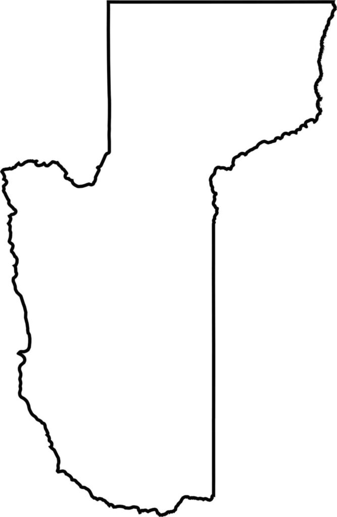
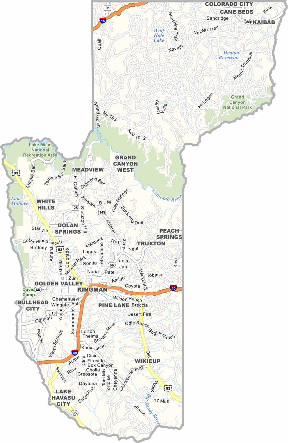
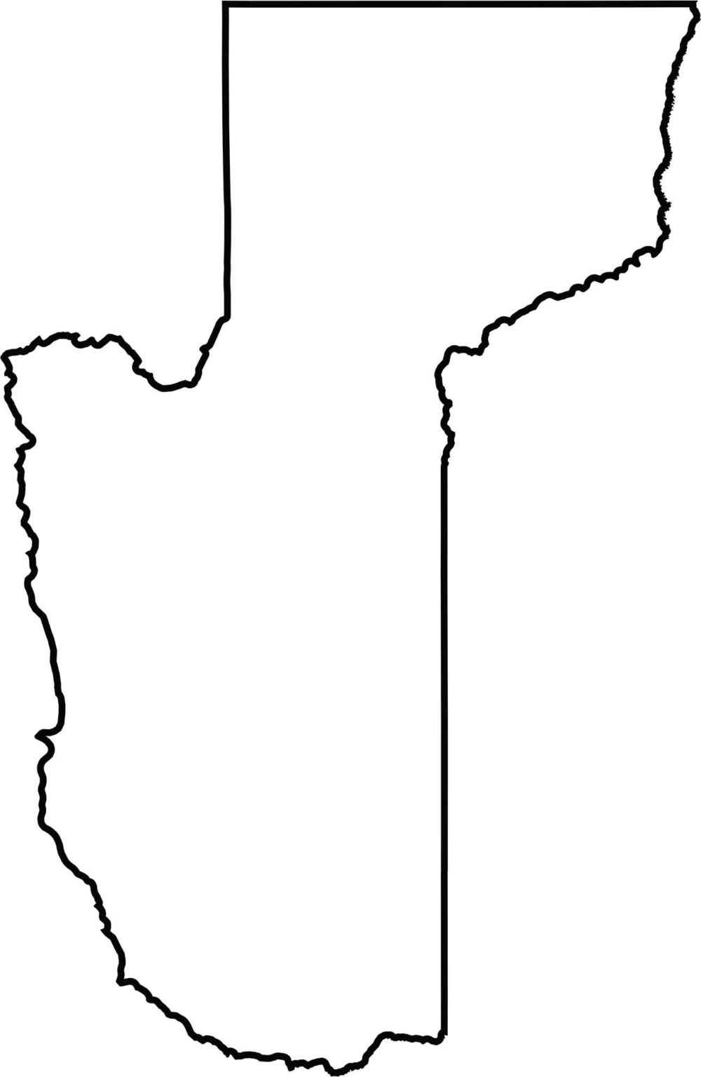
This blank map of Mohave County highlights its massive northwestern territory and distinctive shape, which forms Arizona’s western point. You can also see its long stretch along the Colorado River, which creates a natural boundary in several areas.
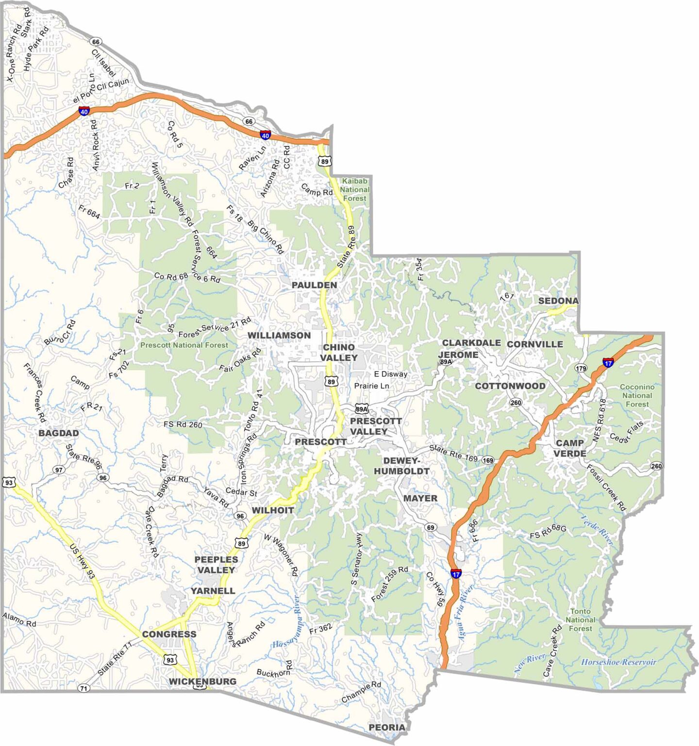
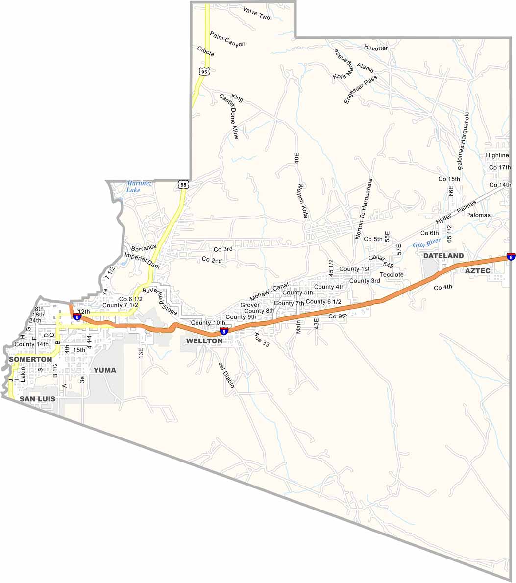
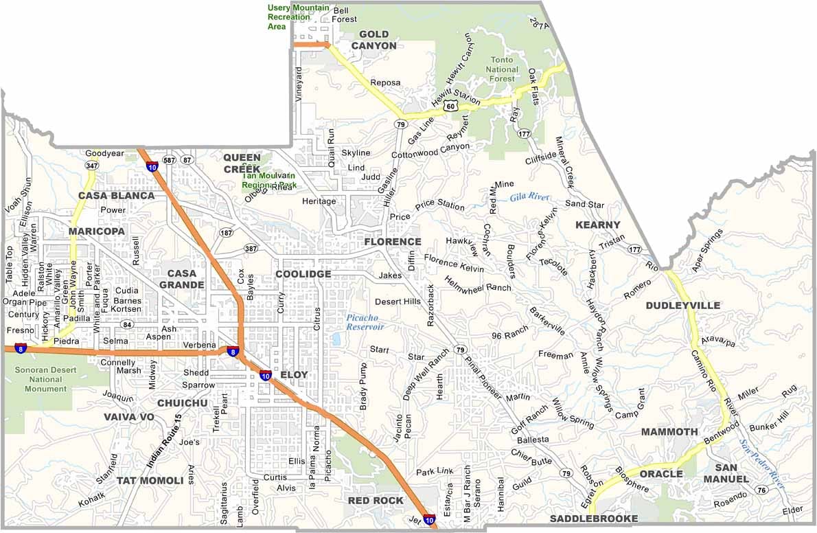

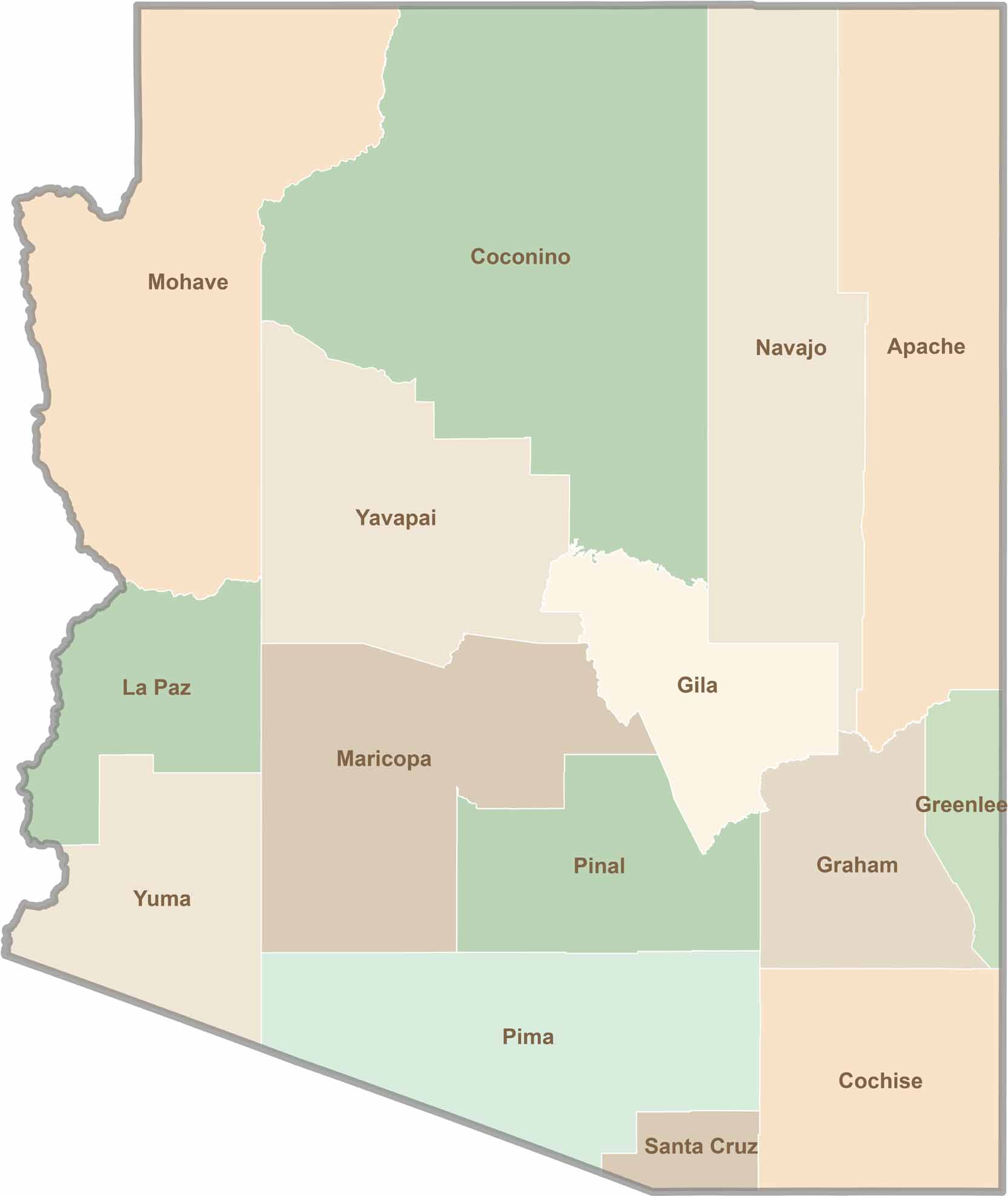
Explore all 15 counties in Arizona with our clear and colorful county map. Discover major cities, highways, landmarks, and geographic features across the Grand Canyon State. Whether you're planning an Arizona road trip, studying the state's geography, or exploring its diverse landscapes, our Arizona county map is a helpful resource for travelers, students, and geography enthusiasts.