
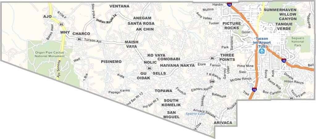
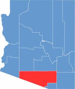
Pima County is located in southern Arizona and has a population of about 1.1 million people. Tucson, Arizona’s second-largest city, serves as the county seat. The University of Arizona is also located in the county.
The county features diverse landscapes, ranging from desert areas to mountains. Saguaro National Park is well known for its giant cacti. Like much of Arizona, the county experiences very hot summers and mild winters.
The area has a rich history influenced by Native American and Spanish colonial cultures. Tourism and the university play important roles in the local economy. Davis-Monthan Air Force Base is also significant to the region. The county faces challenges related to urban growth. Despite these challenges, it remains one of the leading counties in the state.
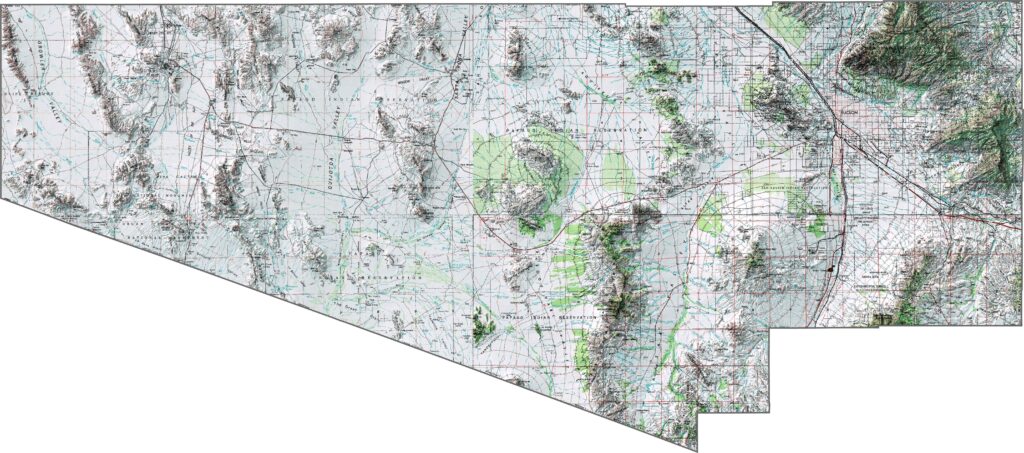
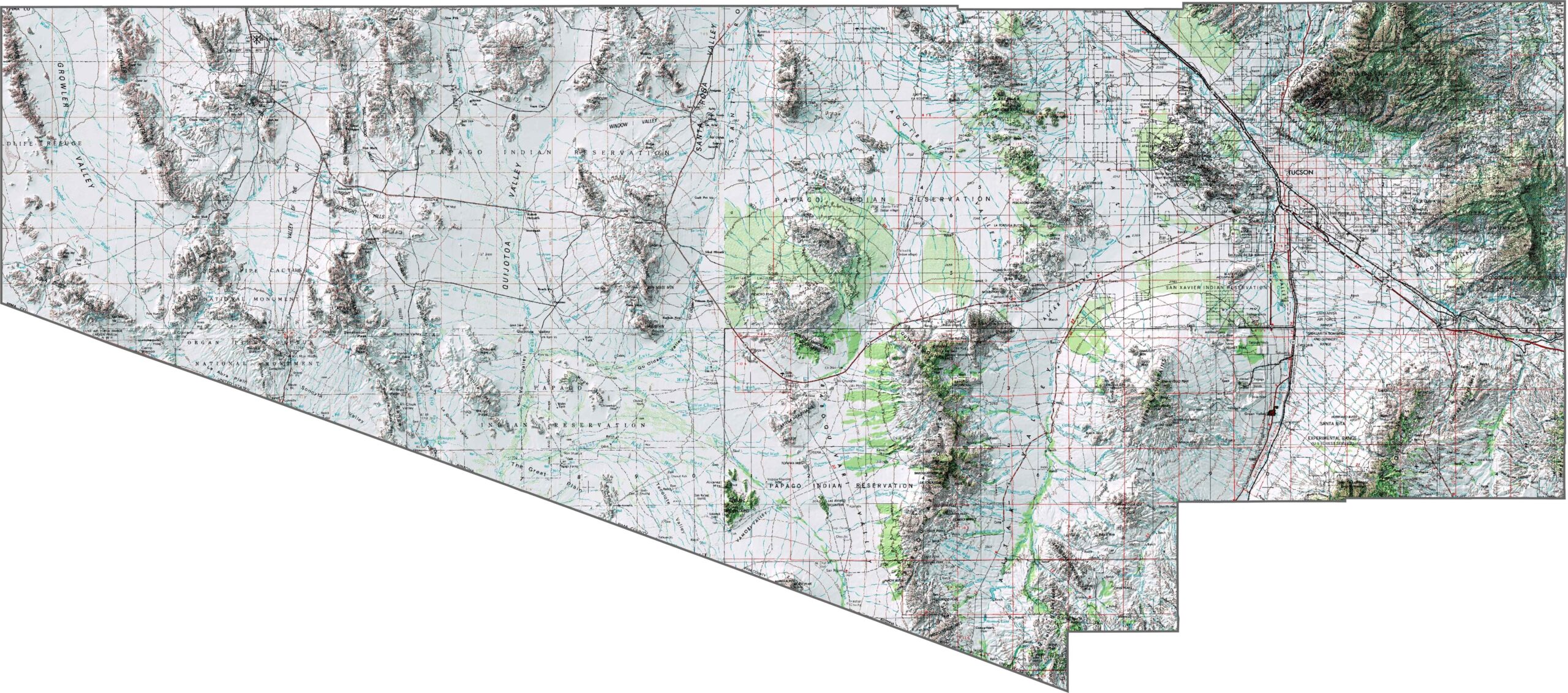
The topographic map of Pima County shows its basin-and-range landscape, with mountain ranges rising from broad desert valleys. You can trace the Santa Catalina Mountains and their dramatic relief north of Tucson.
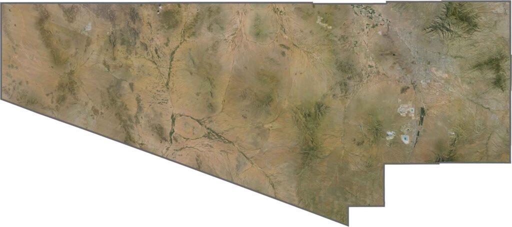
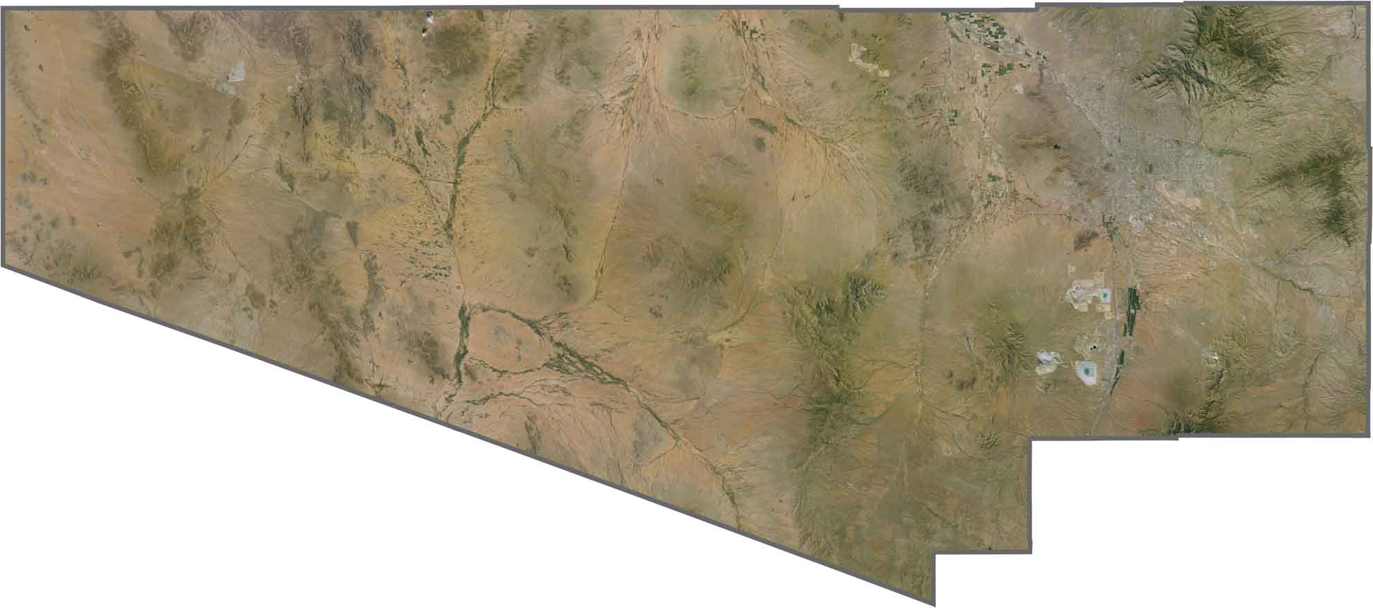
From above, Pima County reveals Tucson surrounded by mountain ranges that rise from the desert floor. The satellite imagery also captures irrigated areas appearing as small green patches across the landscape.
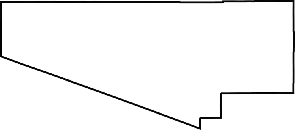
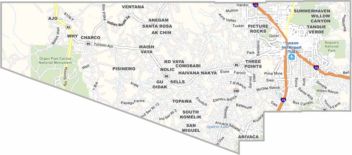
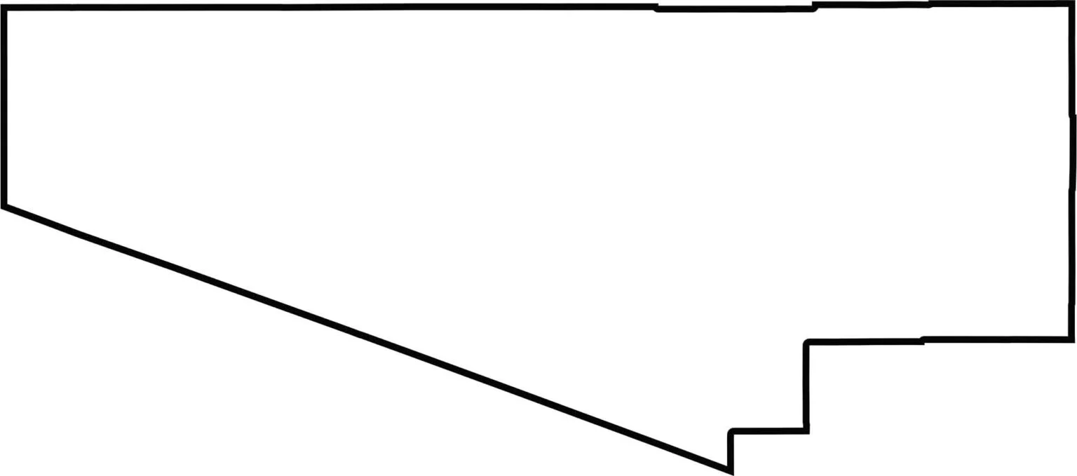
This blank map of Pima County highlights its substantial size as Arizona’s second-largest county by land area. The outline shows its position along the Mexico–United States border and how it extends around portions of neighboring counties.
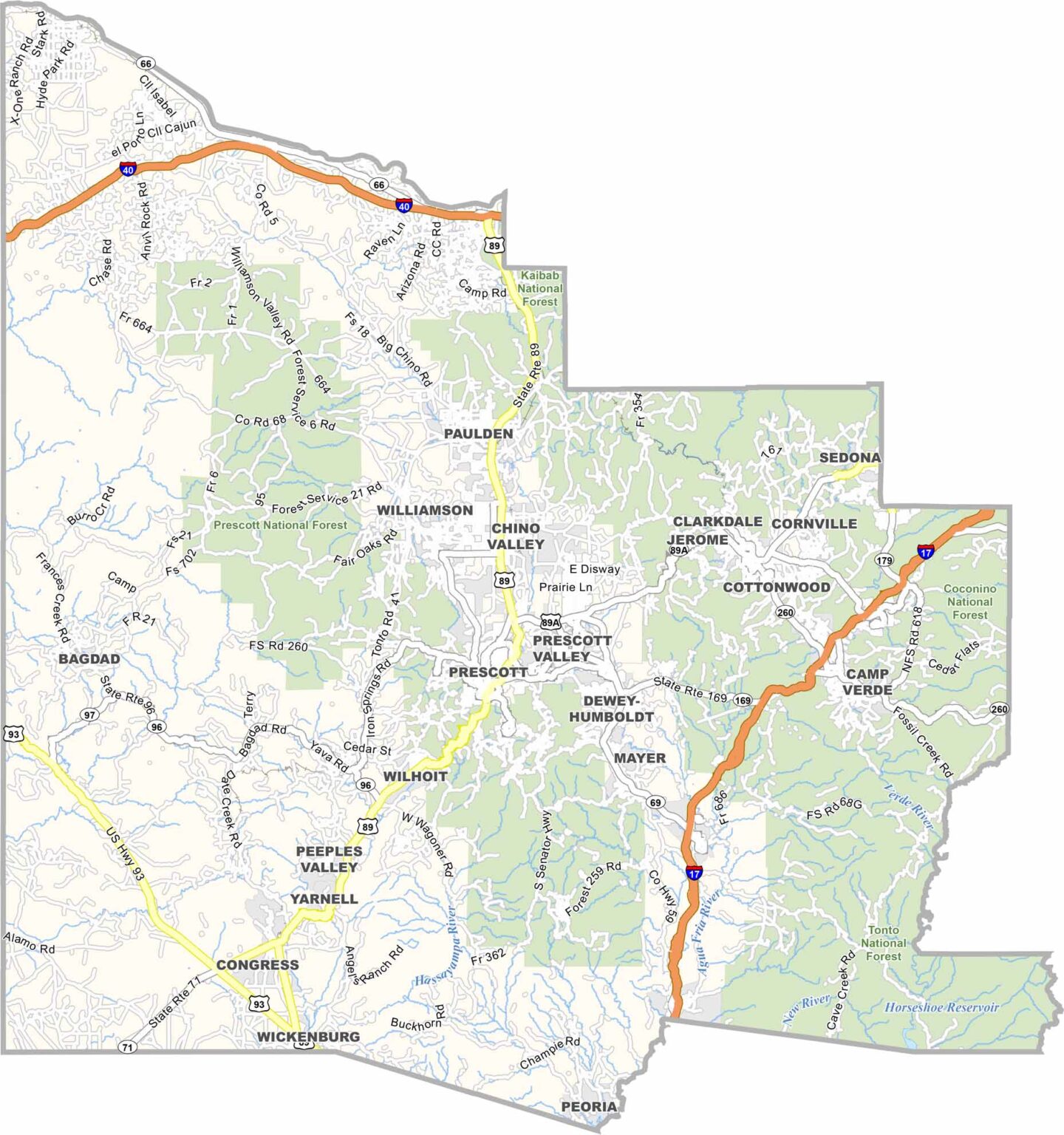
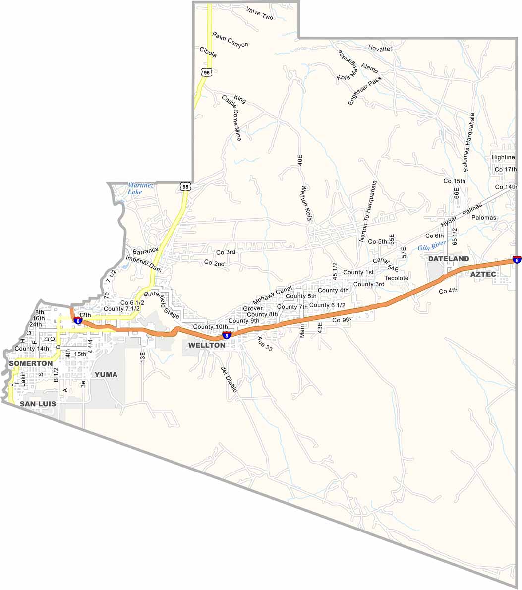
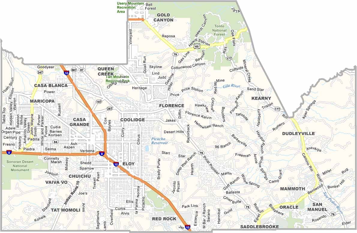

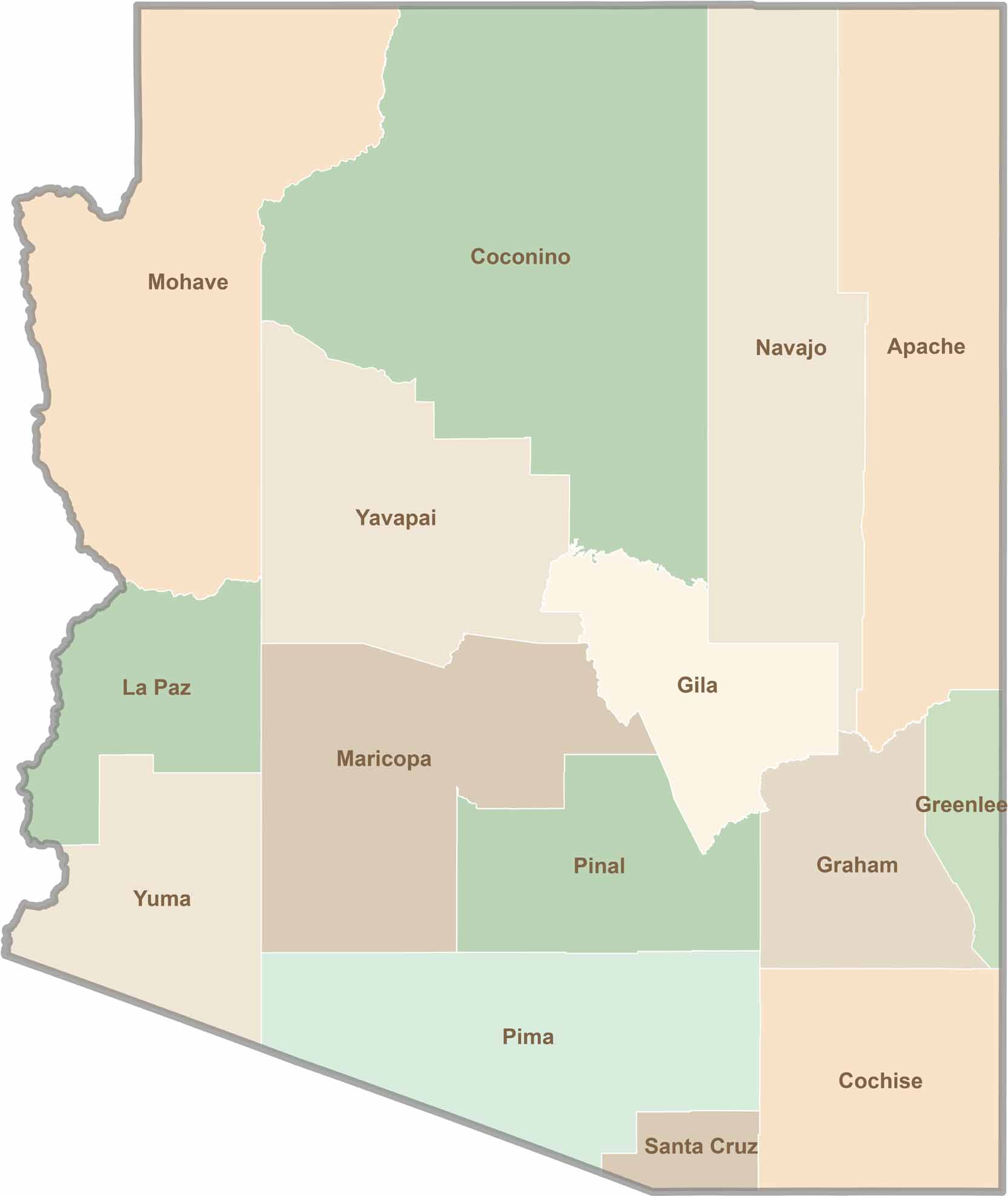
Explore all 15 counties in Arizona with our clear and colorful county map. Discover major cities, highways, landmarks, and geographic features across the Grand Canyon State. Whether you're planning an Arizona road trip, studying the state's geography, or exploring its diverse landscapes, our Arizona county map is a helpful resource for travelers, students, and geography enthusiasts.