
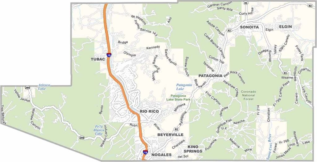
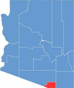
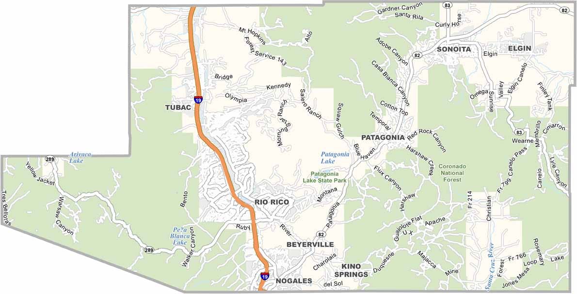
Santa Cruz County is located in southern Arizona along the border with Mexico. Around 50,000 people live in the county. Nogales serves as the county seat and is also a major border crossing.
The county is known for its rolling hills and mountains, which cover much of the landscape. The Santa Cruz River valley also provides suitable conditions for wine growing.
Tourism is growing in the area, with attractions such as the Tubac art colony and popular bird-watching locations. The county also has a rich Hispanic heritage.
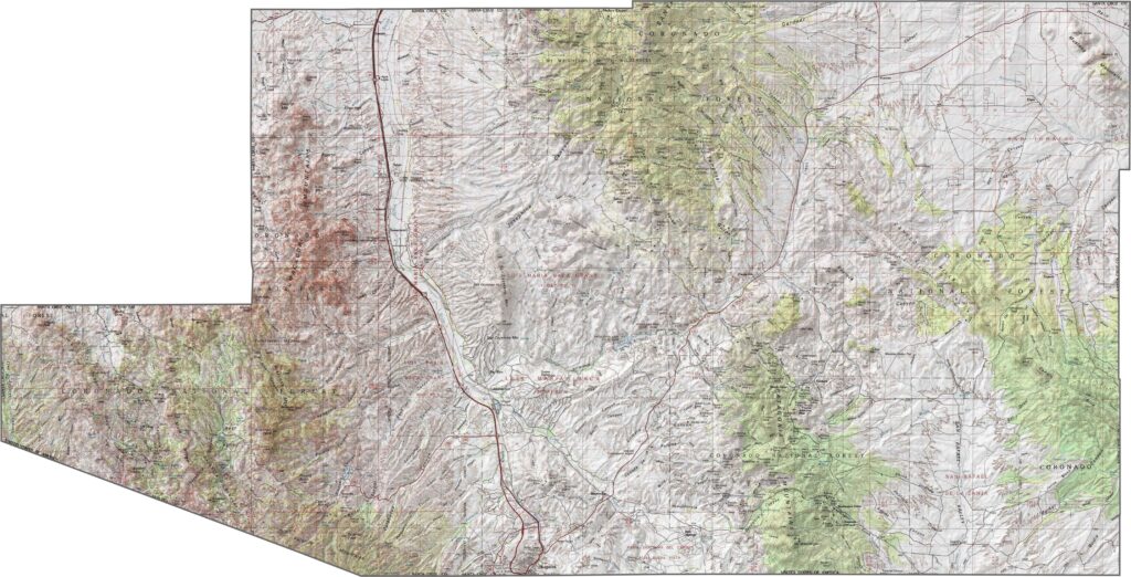
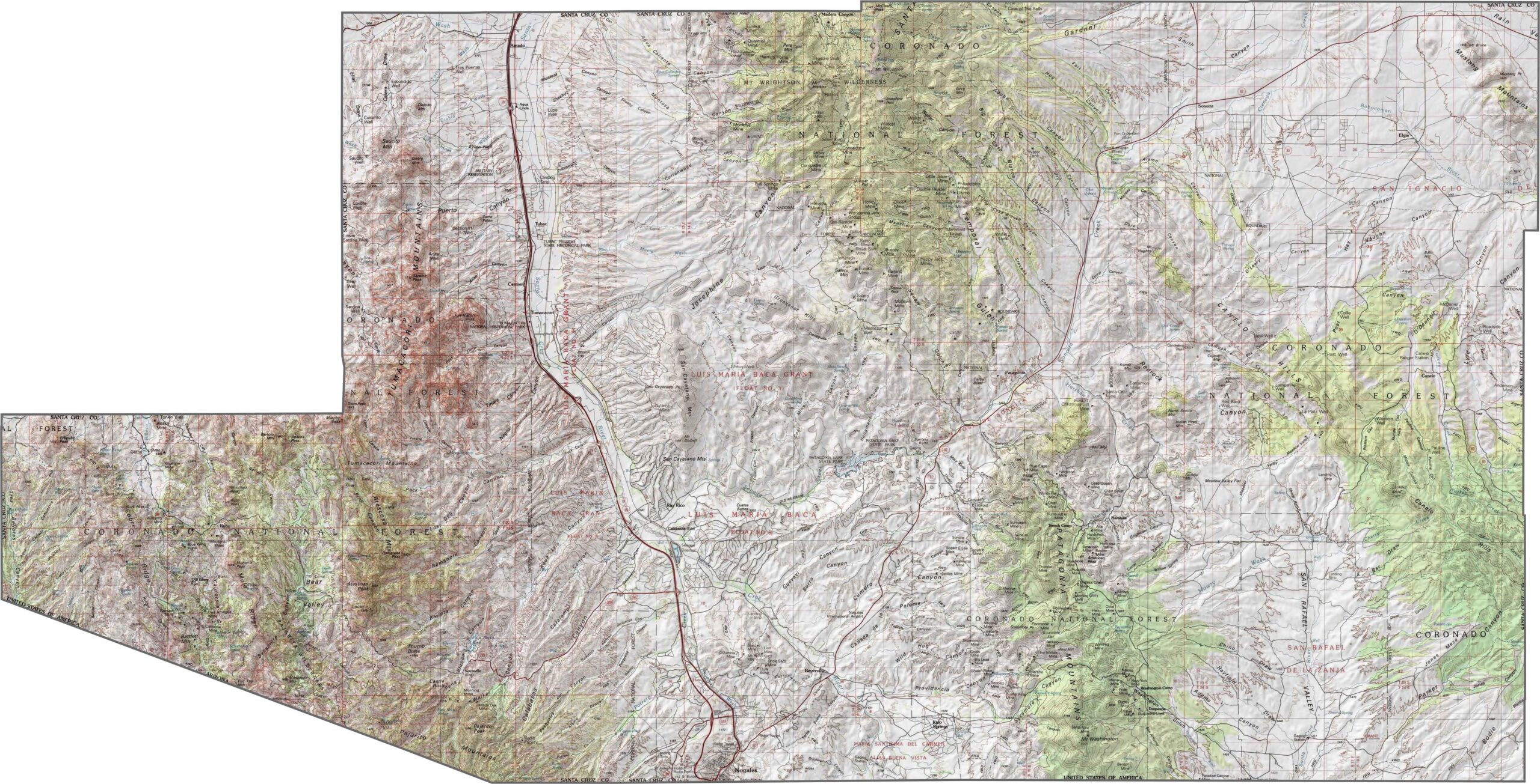
Look at how this topographic map of Santa Cruz County captures its rolling grasslands and mountain ranges. The elevation lines show the county’s position within a high valley corridor between significant mountain chains. Use our zoom tool to explore all the details.
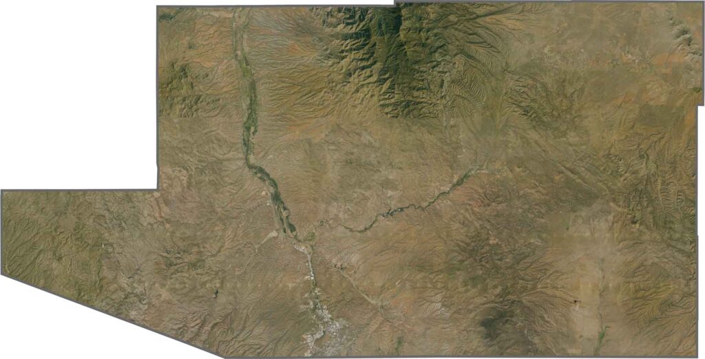
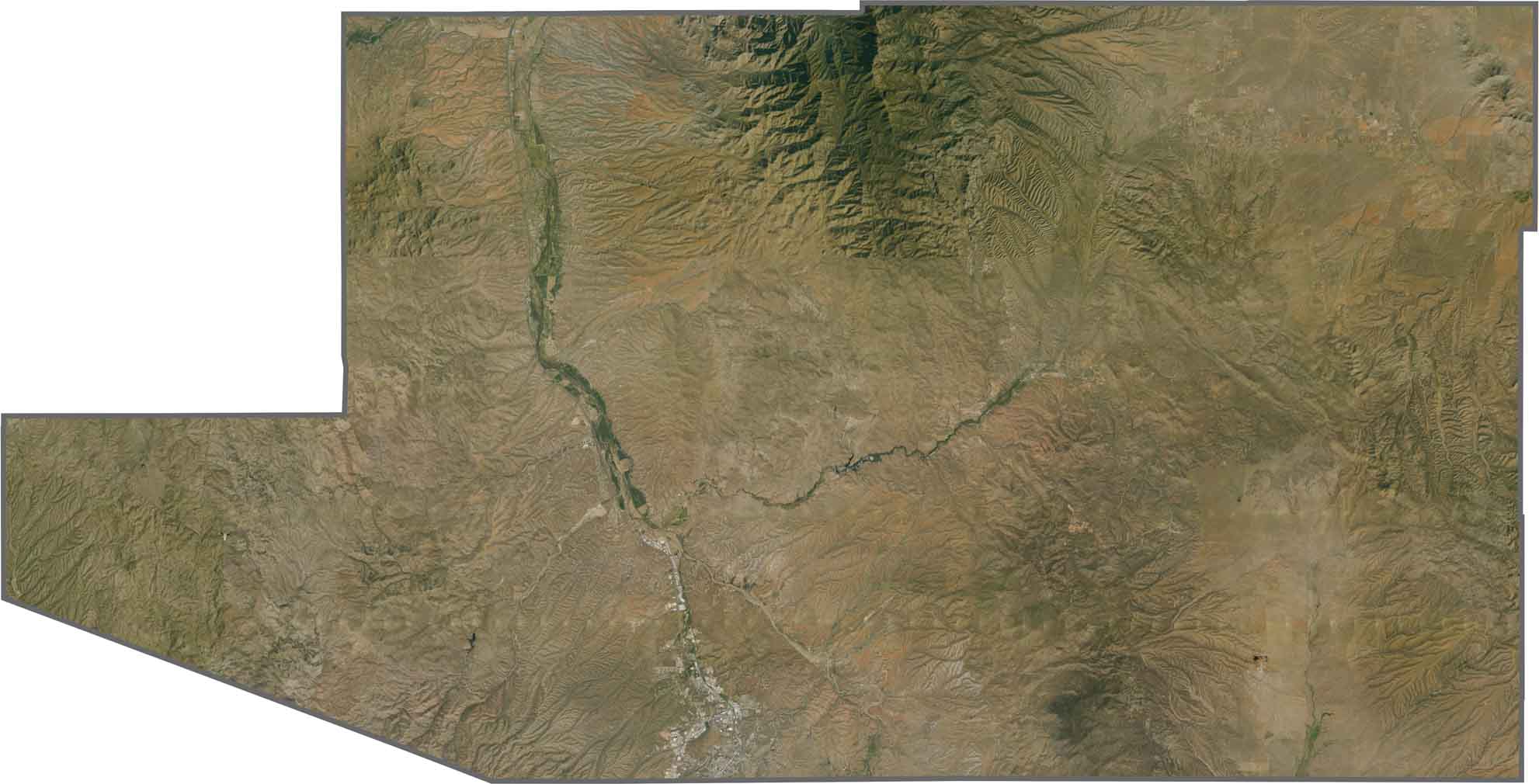
Our satellite map of Santa Cruz County reveals surprisingly green landscapes in this border region. You’ll notice the Santa Cruz River flowing from north to south through the county.
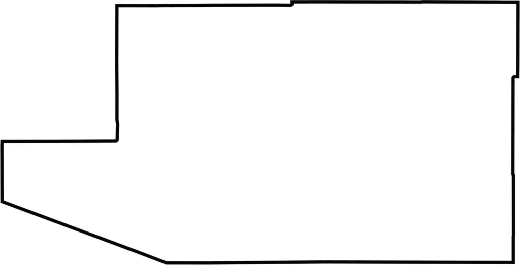
This blank map of Santa Cruz County outlines its location along the Mexico–Arizona border. Its compact shape reflects the fact that Santa Cruz County is Arizona’s second-smallest county by area, after Greenlee County.
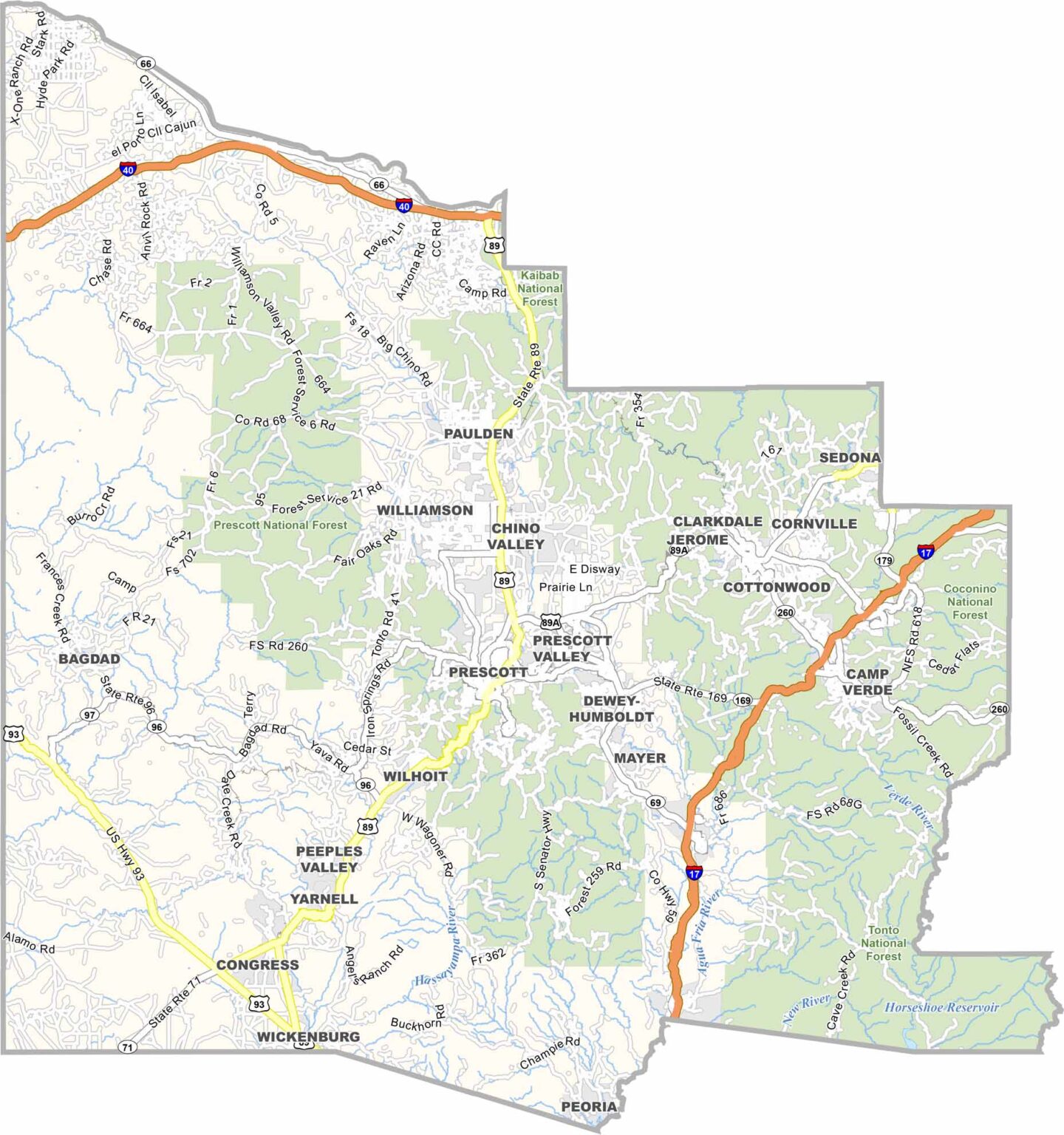
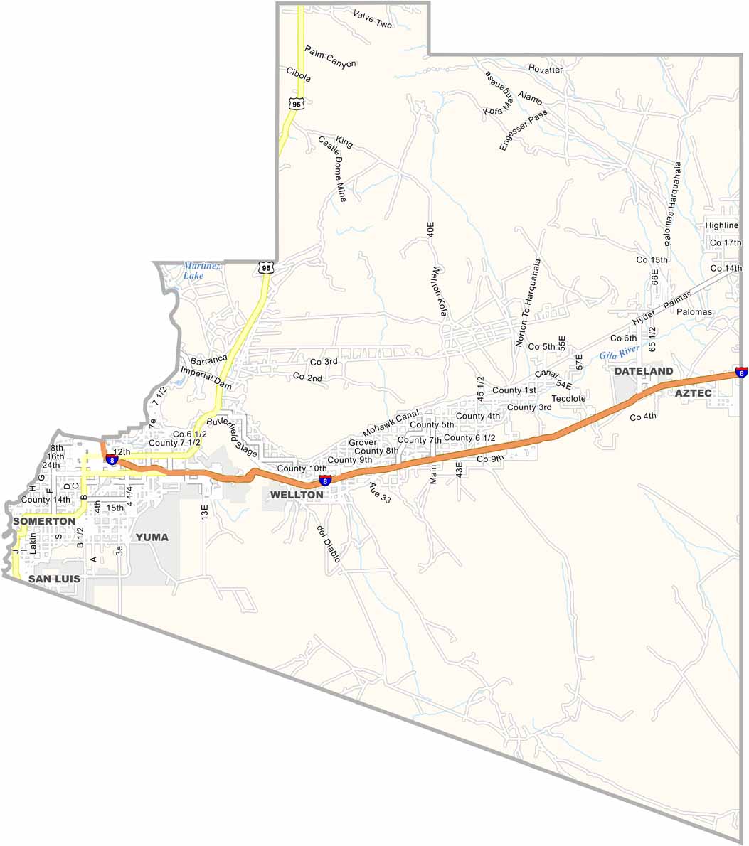
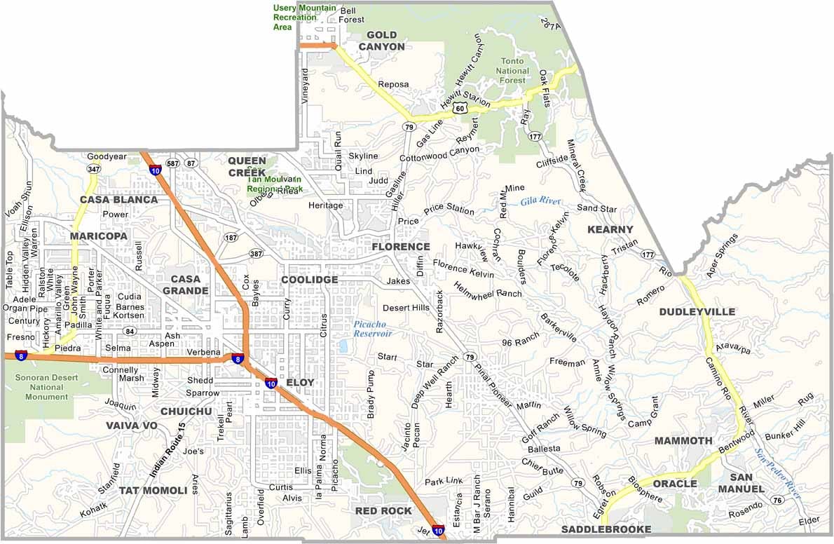


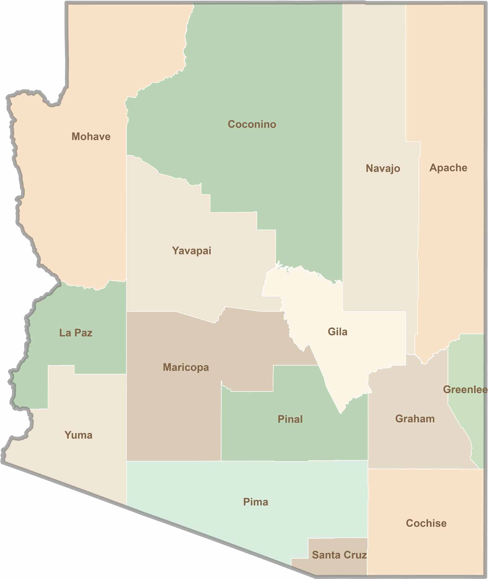
Explore all 15 counties in Arizona with our clear and colorful county map. Discover major cities, highways, landmarks, and geographic features across the Grand Canyon State. Whether you're planning an Arizona road trip, studying the state's geography, or exploring its diverse landscapes, our Arizona county map is a helpful resource for travelers, students, and geography enthusiasts.