
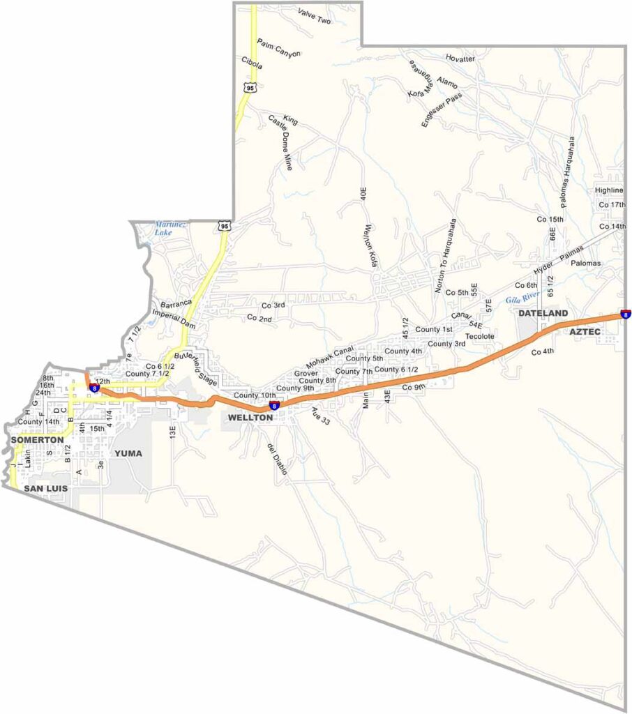
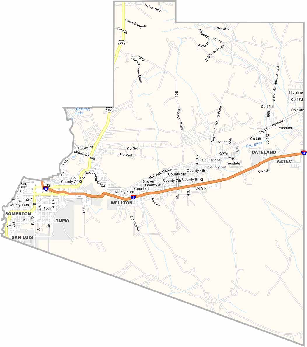
Yuma County is located in southwest Arizona, bordering California and Mexico. Around 200,000 people live in the county. Yuma is the county seat and largest city, while the Colorado River forms its western border.
The county is known as one of the sunniest places on Earth. It receives more than 11 hours of sunshine during winter and around 13 hours during summer. These sunny conditions support a strong agricultural industry, particularly the production of winter vegetables.
Tourism increases during the winter months as visitors arrive to escape colder climates. The area also has a rich history, including the famous Territorial Prison. Yuma County is also home to several military installations.
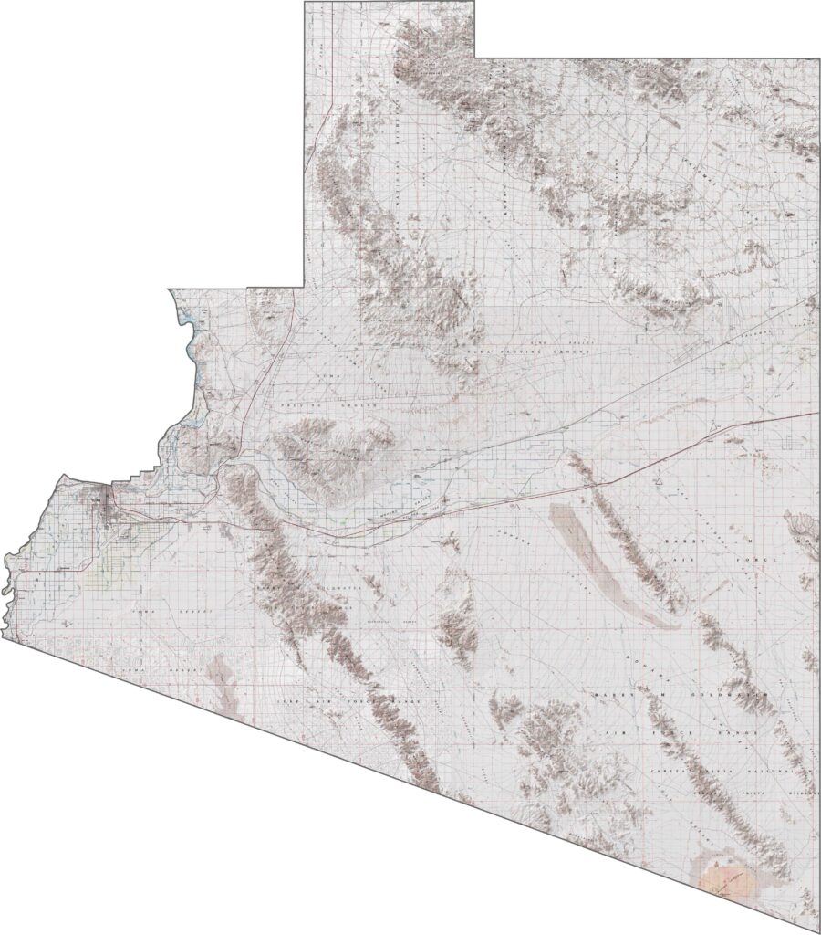
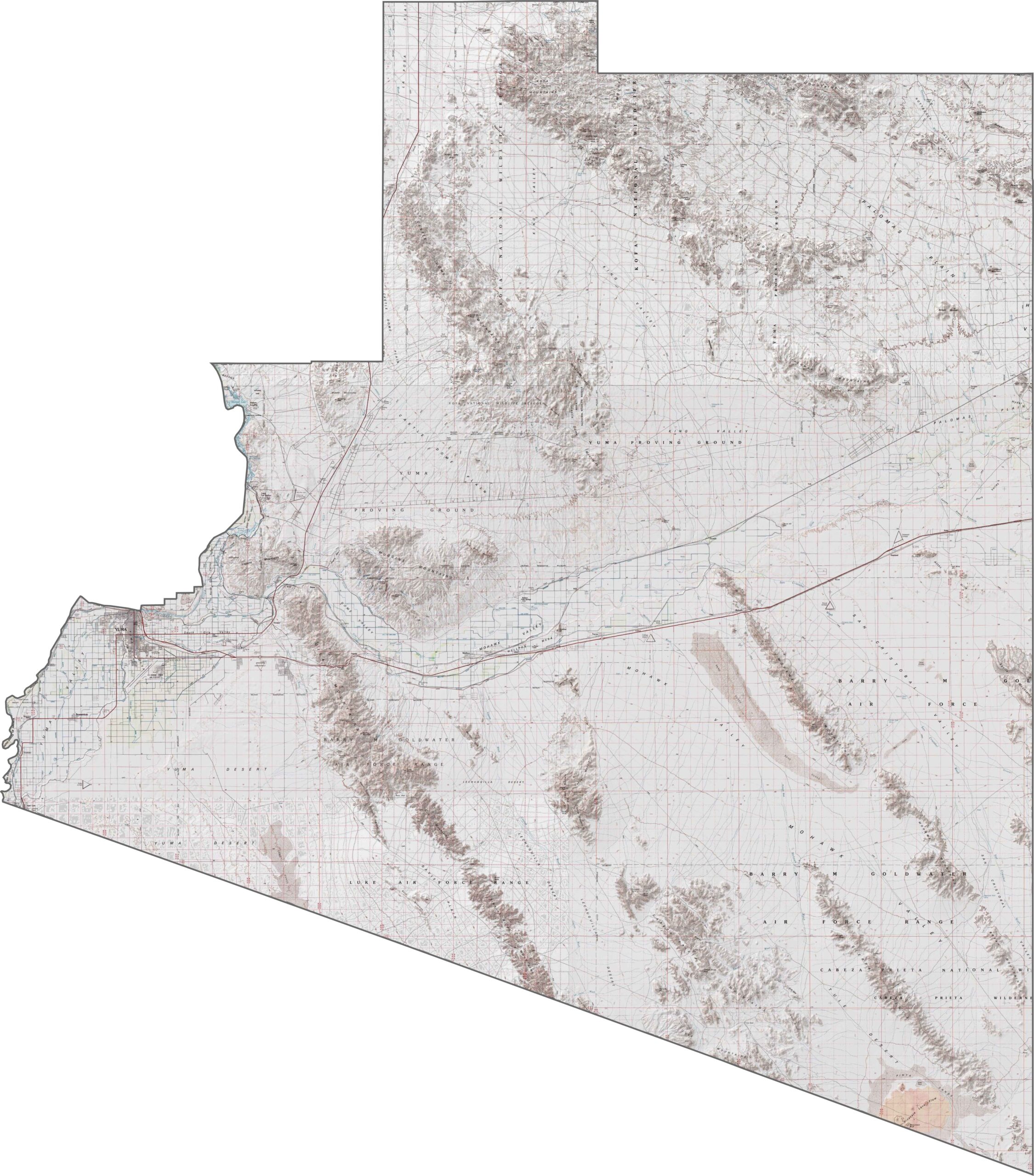
The topographic map of Yuma County shows its predominantly flat desert landscape, along with the Colorado River Valley. The gentle terrain contrasts with the sharp outlines of isolated desert mountain ranges.
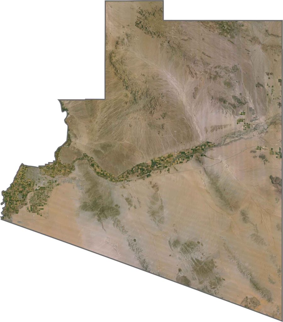
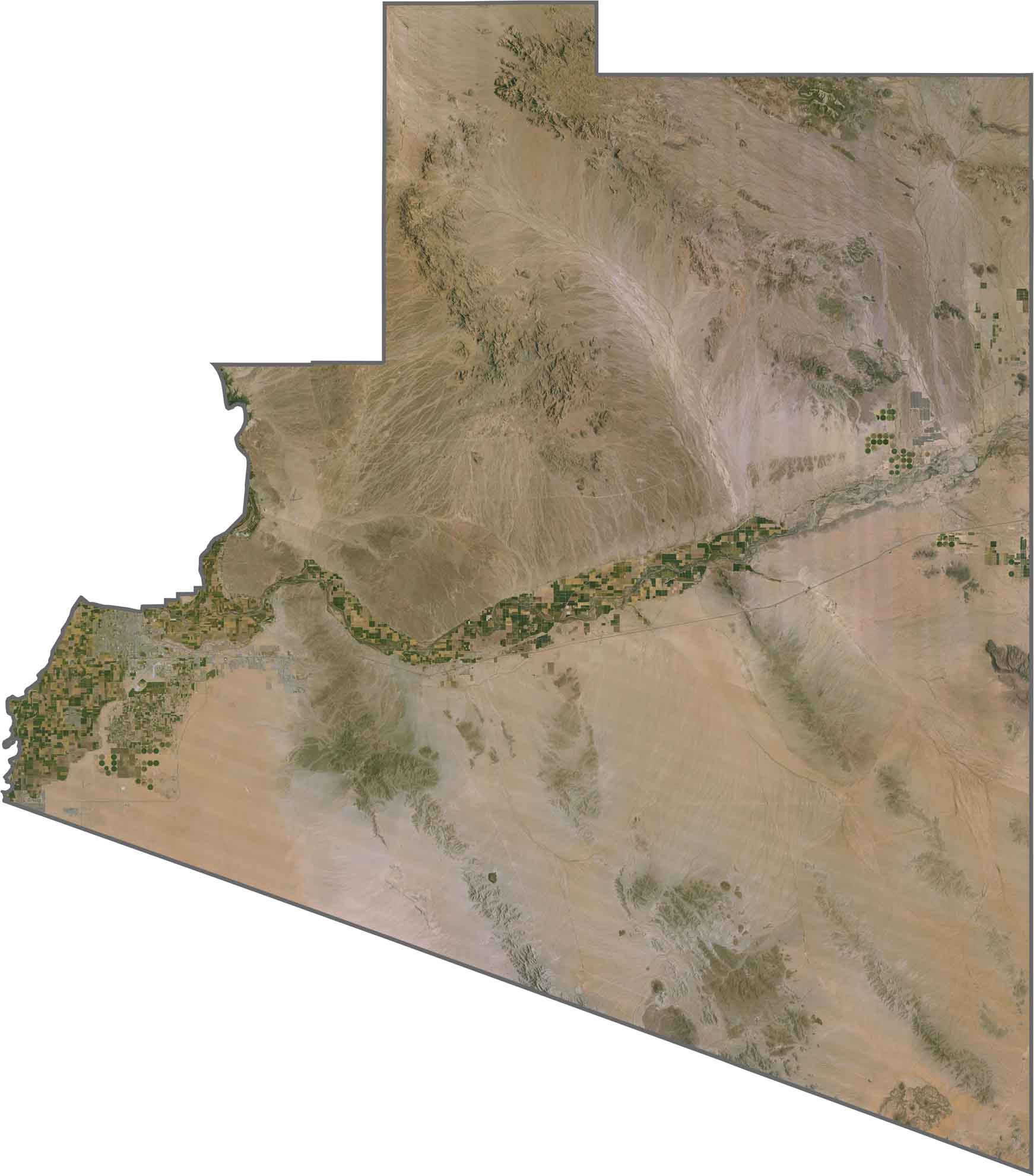
Looking at Yuma County from above, you’ll immediately notice the distinct boundary where irrigated farmland meets untouched desert. The satellite view highlights the Colorado River creating a green agricultural oasis in the southwestern corner of Arizona.
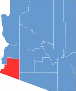
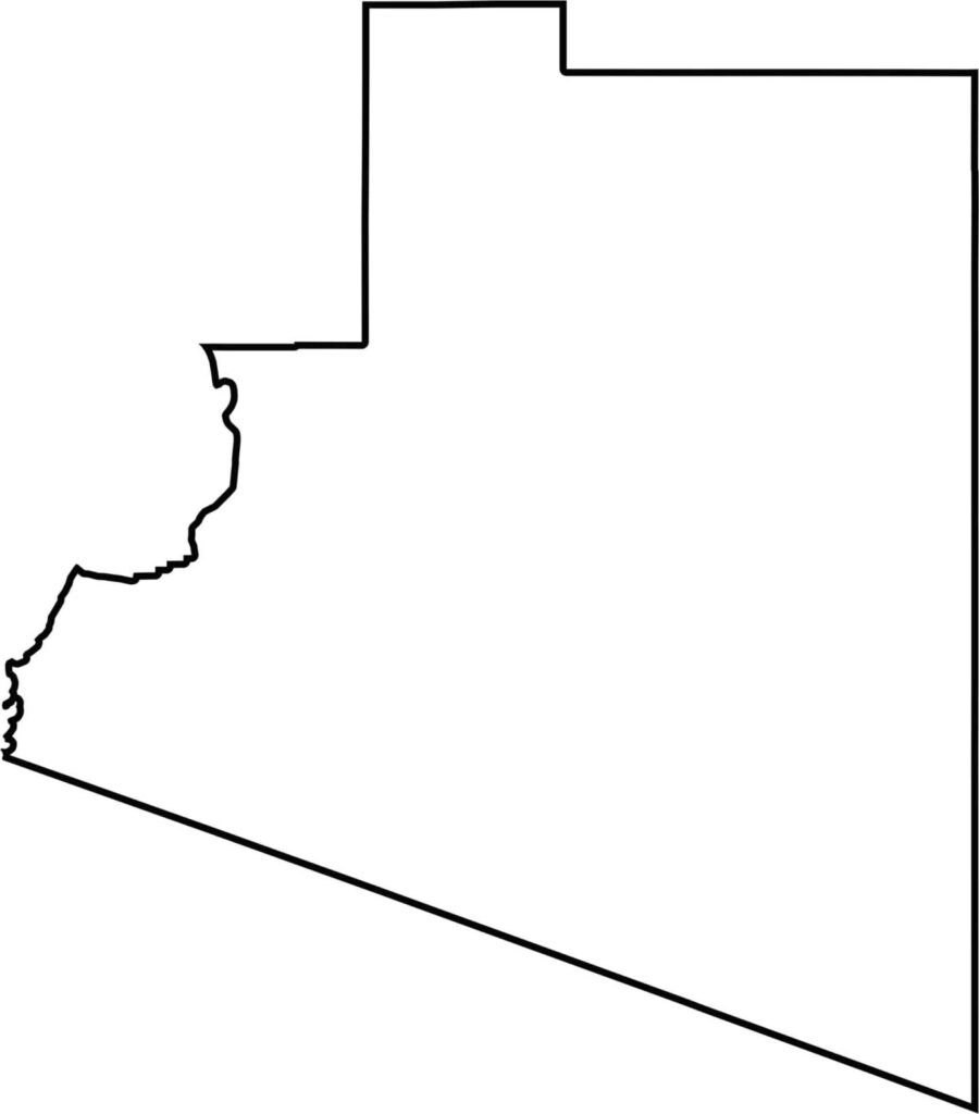
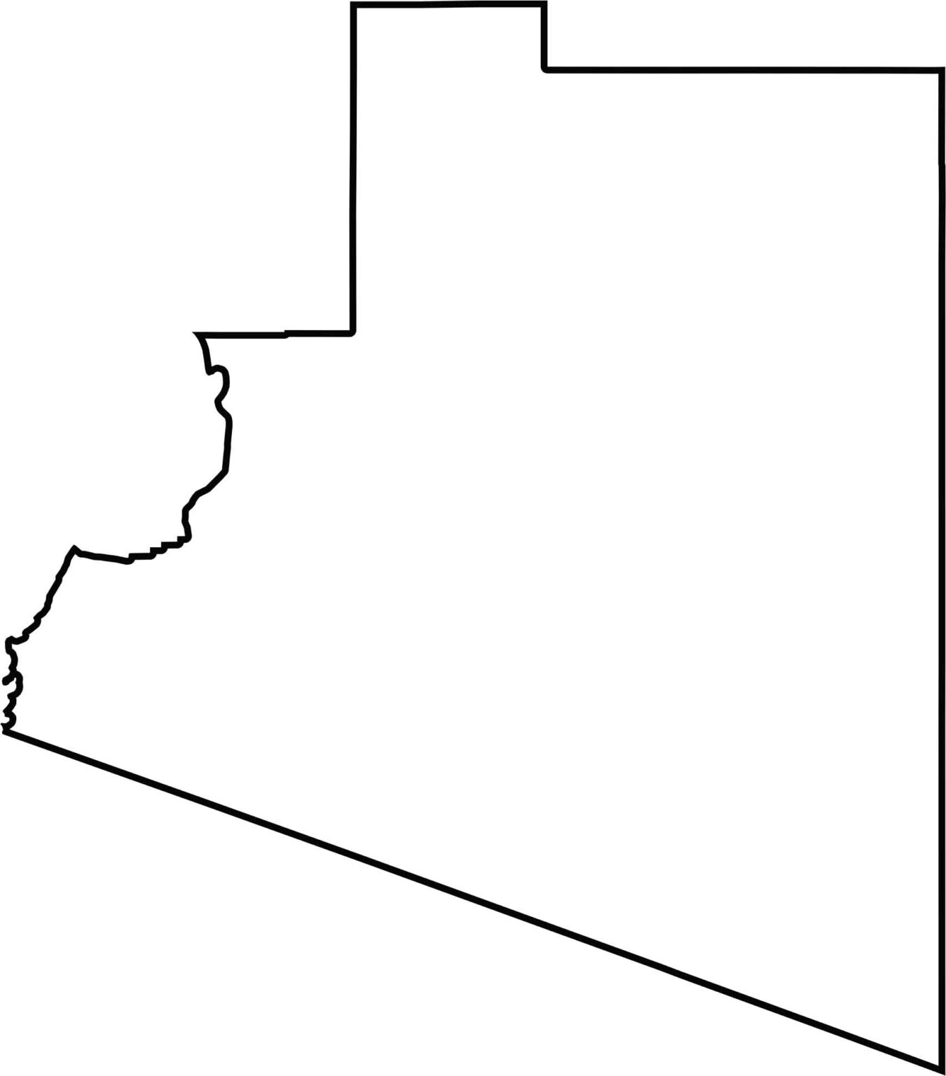
This blank map highlights Yuma County’s location in the southwestern corner of Arizona. The outline clearly shows where Arizona meets California and Mexico, making it an important border region.
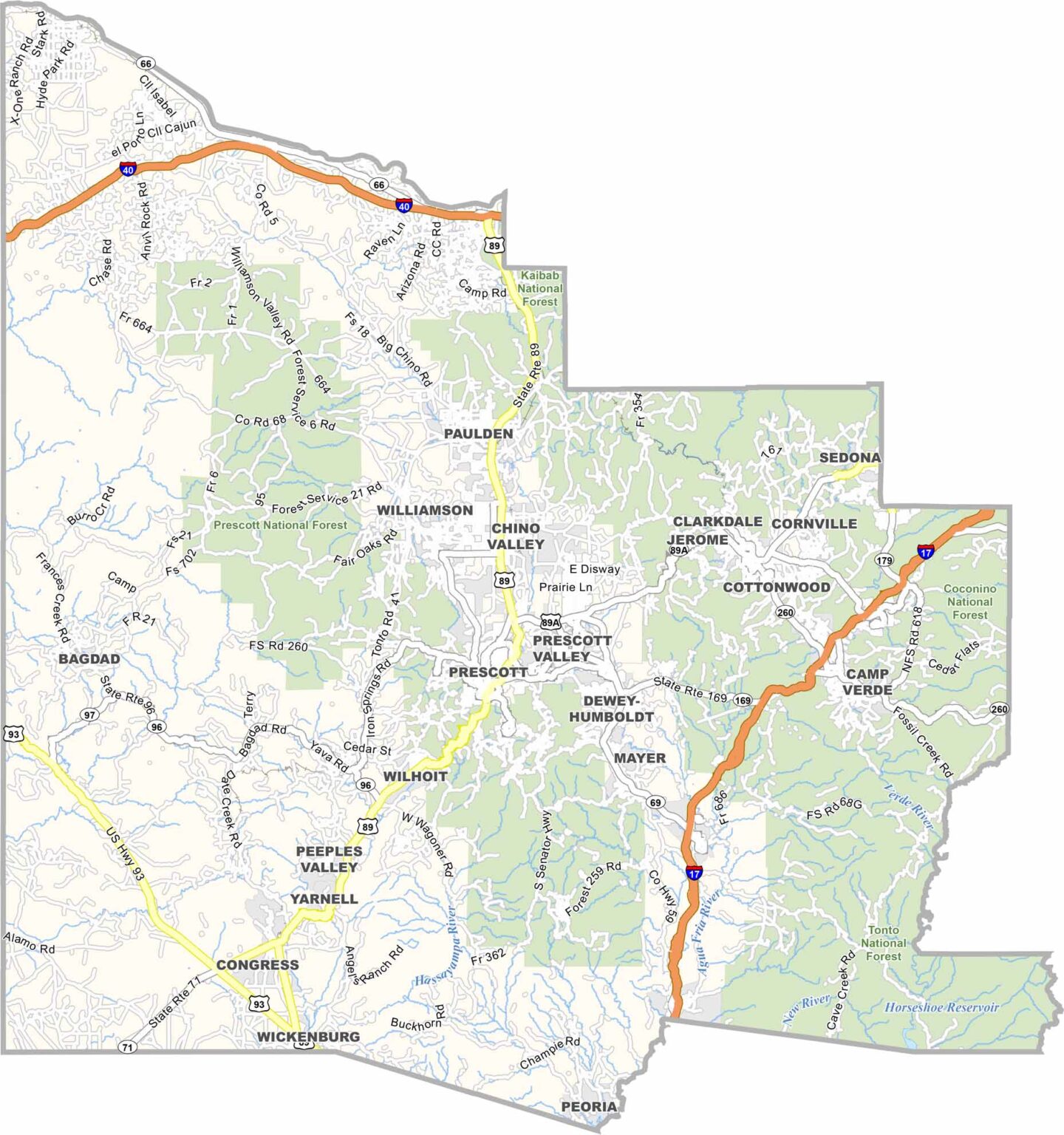
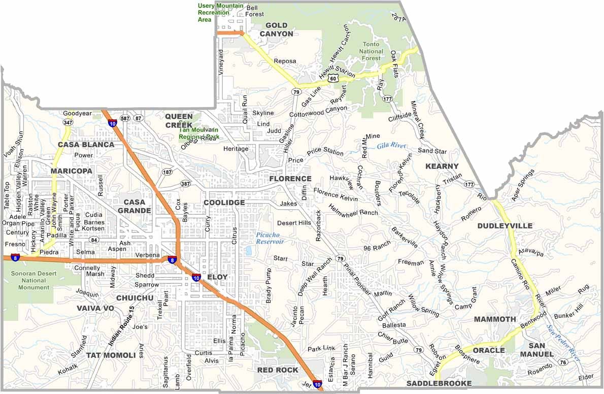
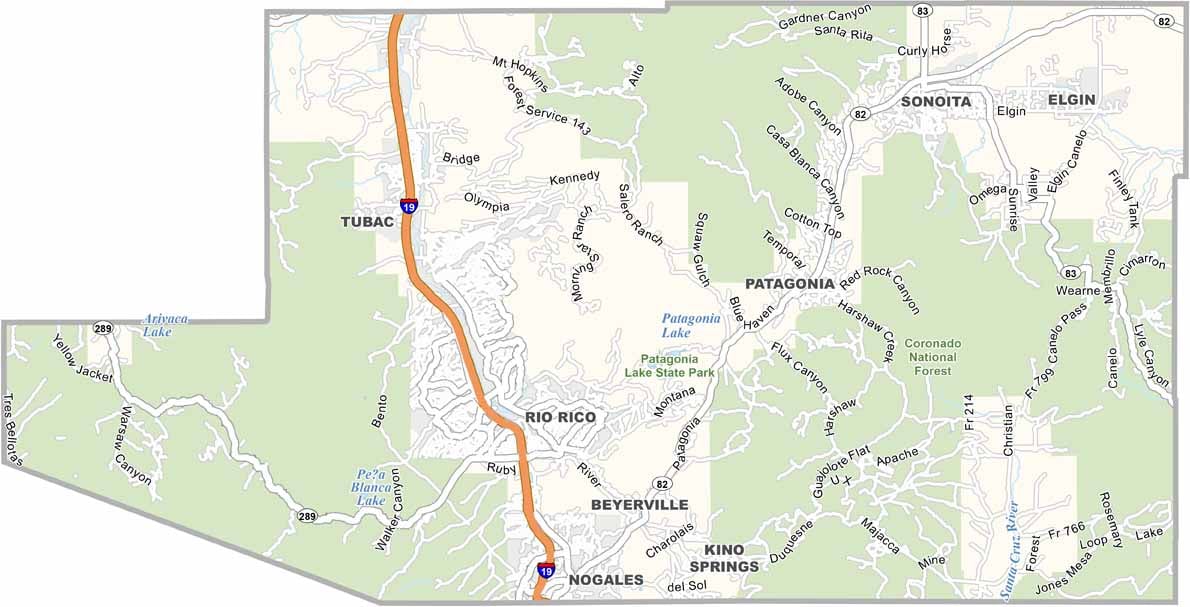
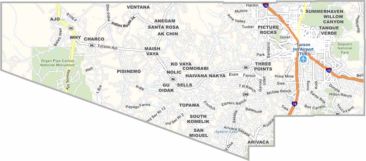
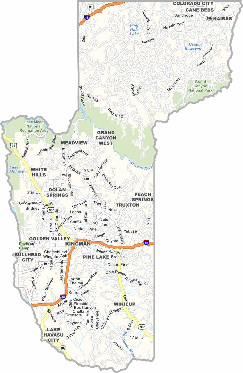

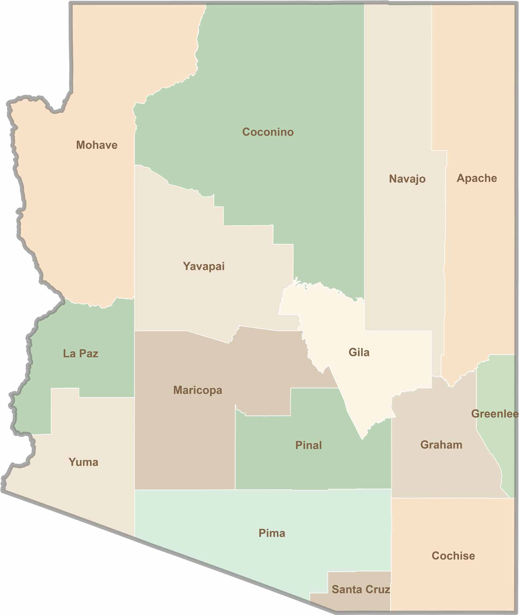
Explore all 15 counties in Arizona with our clear and colorful county map. Discover major cities, highways, landmarks, and geographic features across the Grand Canyon State. Whether you're planning an Arizona road trip, studying the state's geography, or exploring its diverse landscapes, our Arizona county map is a helpful resource for travelers, students, and geography enthusiasts.