
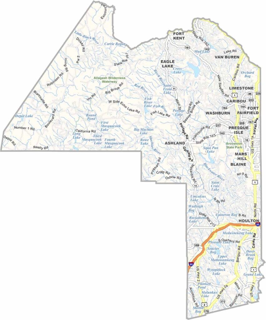
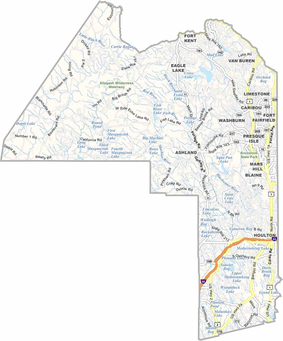
Aroostook County is Maine’s northernmost and largest county, stretching across a vast expanse of forests, farms, and lakes. It borders Canada to the north and west, and despite its size, the county is sparsely populated.
Locals call it “The County,” and potatoes reign supreme here. You’ll find endless fields of spuds, along with some of the friendliest people you’ll ever meet.
Winters are harsh, but the snowmobiling is top-notch. Summer brings wild blueberries and ideal hiking weather. The Allagash Wilderness Waterway is also a paddler’s paradise.
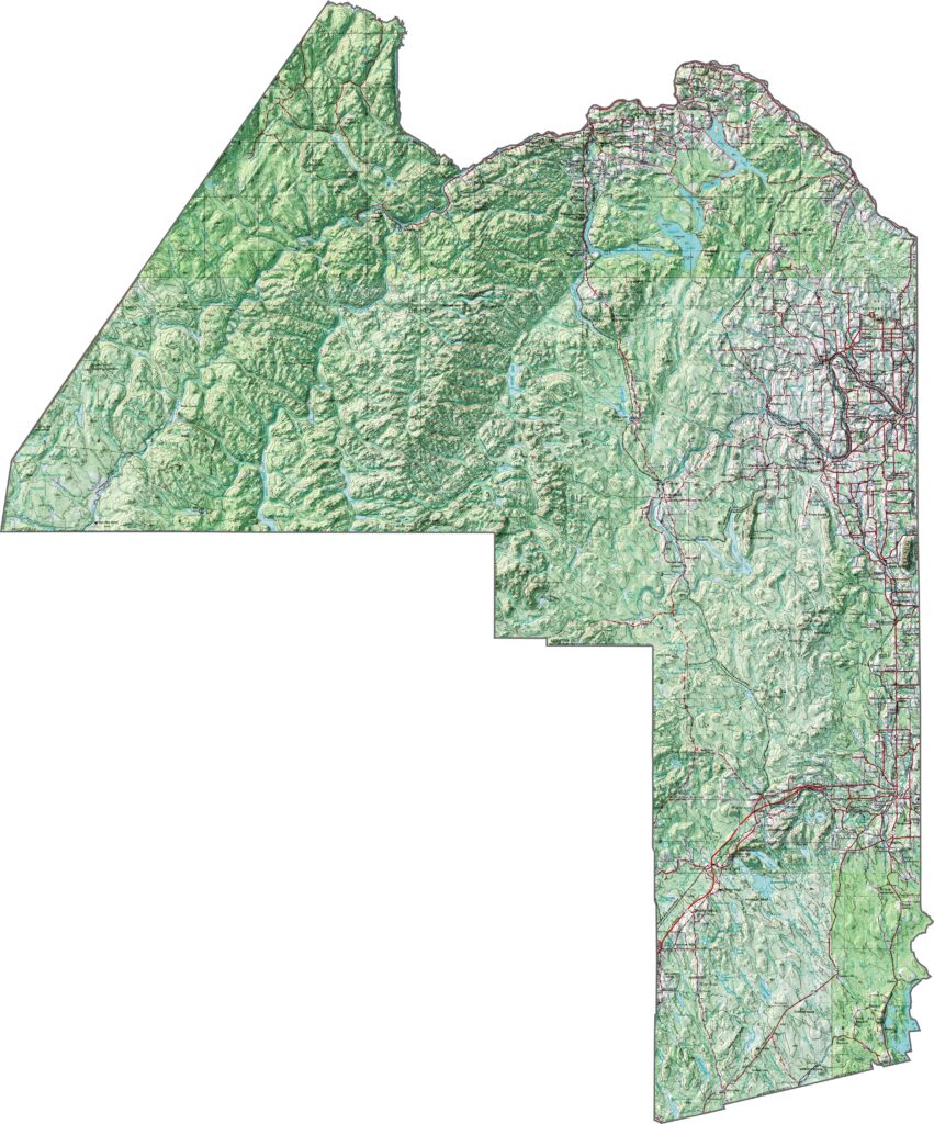
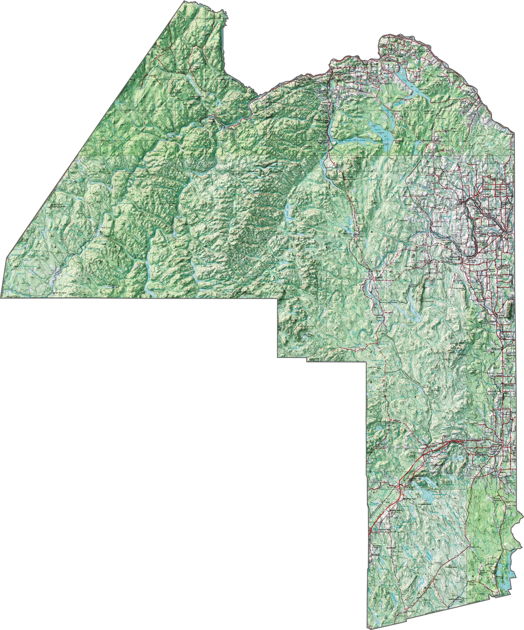
Aroostook County is vast and mostly flat across its central farmlands. However, low mountains rise along its edges. The north features gentle slopes, while the terrain becomes more rugged near the western forests. Even the flatter areas are dotted with small hills that break up the landscape. Zoom in to explore the elevation changes yourself.
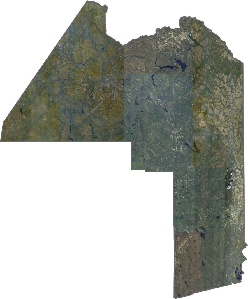
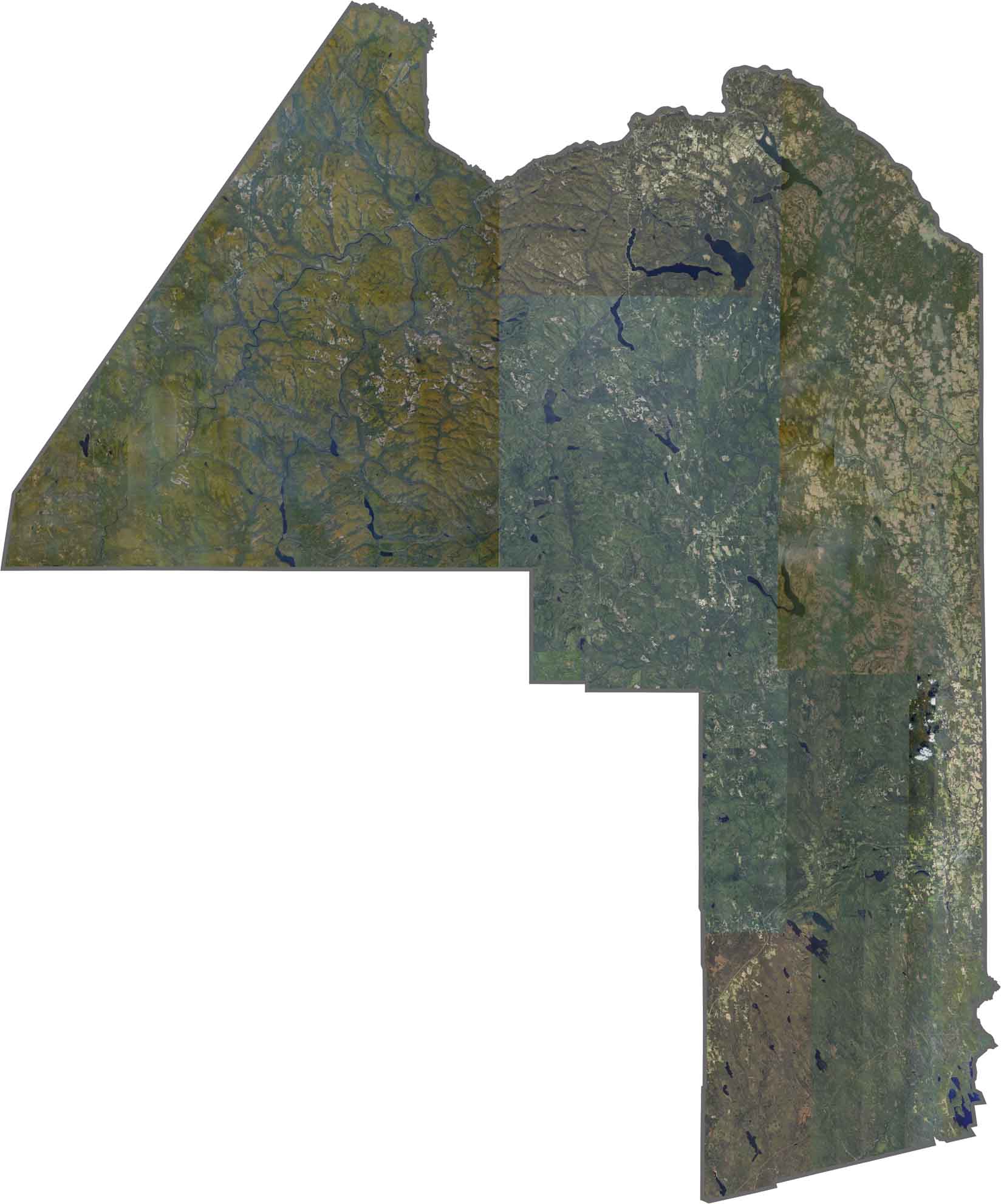
Thick forests cover much of Aroostook County, especially in the north and west. Rivers such as the Birch and Blackwater flow through the landscape. Snow often remains on the ground well into spring.
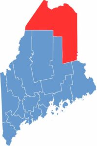
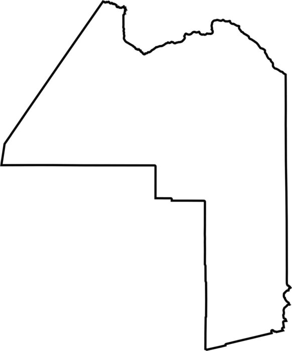
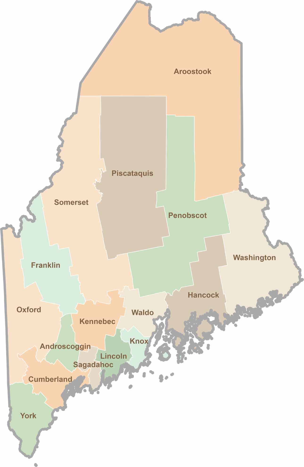
Aroostook is the largest county in Maine, with a blocky shape that narrows toward the south. The Saint John River traces part of its northern border with Canada. It also borders New Brunswick to the east and Piscataquis County to the south.

Life moves at the pace of the tides here. One day might be spent hiking forest trails, and the next watching fog roll over quiet harbors. Discover what makes each county special with our Maine county maps.