
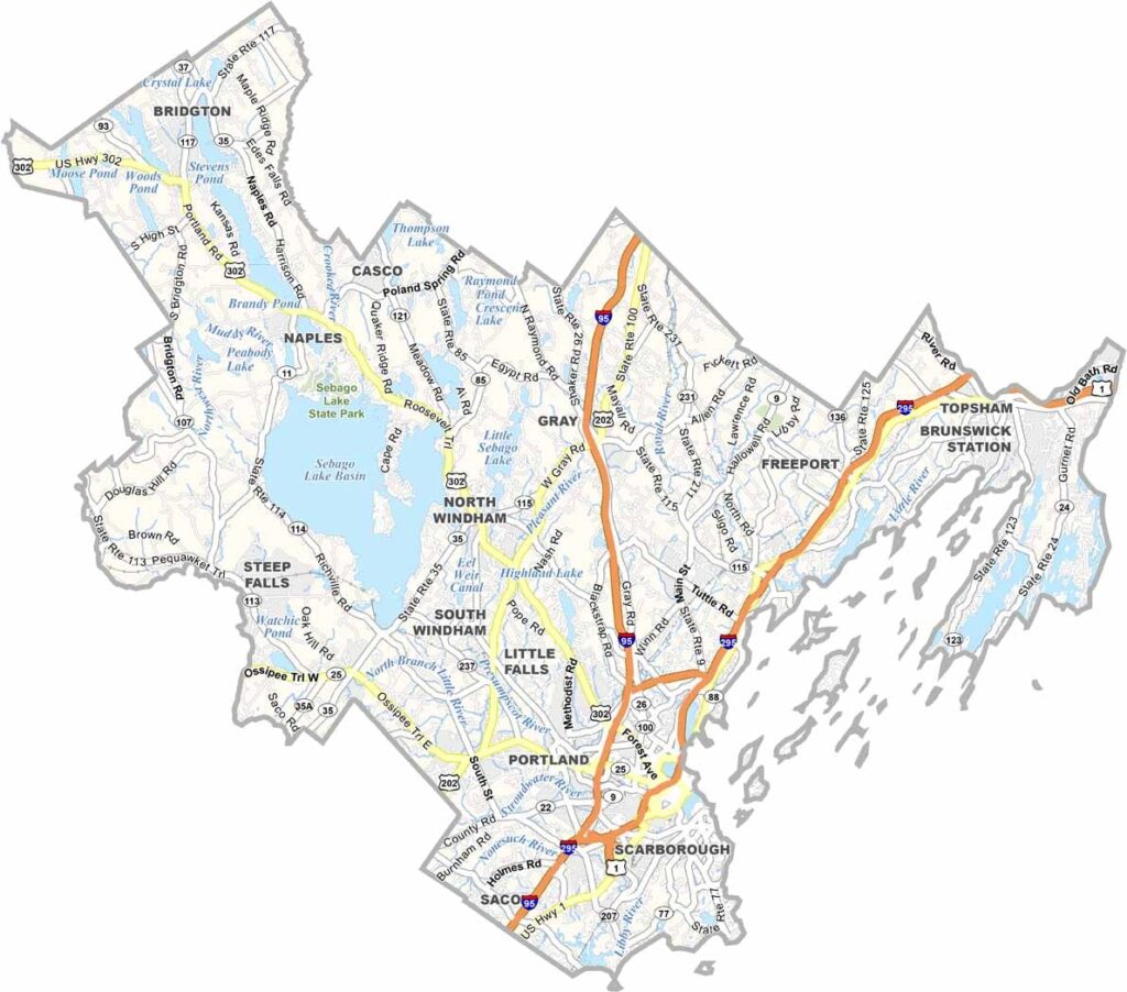
Cumberland County sits in southern Maine, stretching from the Atlantic coast inland. It’s the state’s most populous county and is home to Portland and its surrounding communities.
The islands of Casco Bay lie just off Portland and are perfect for day trips and summer getaways. Inland, the landscape shifts to rolling hills and forests.
The county has a deep history rooted in shipbuilding and trade. Today, it’s a hub for food, arts, and outdoor activities.
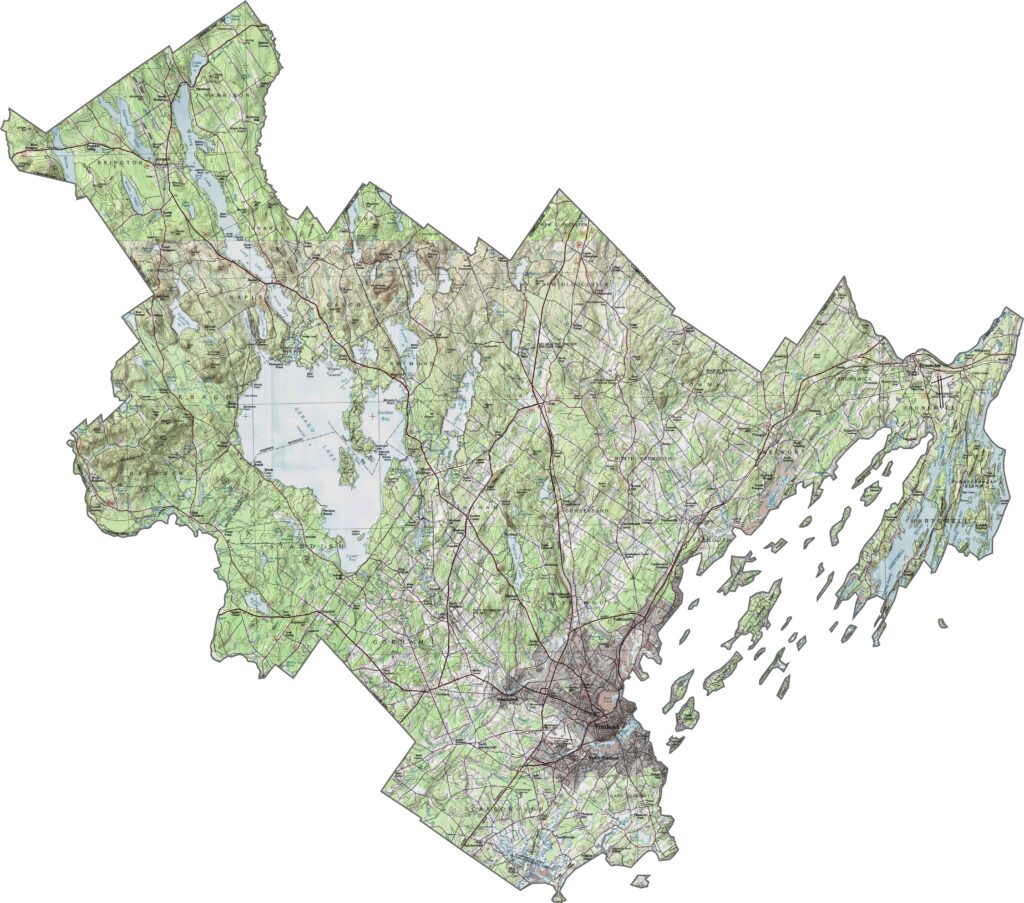
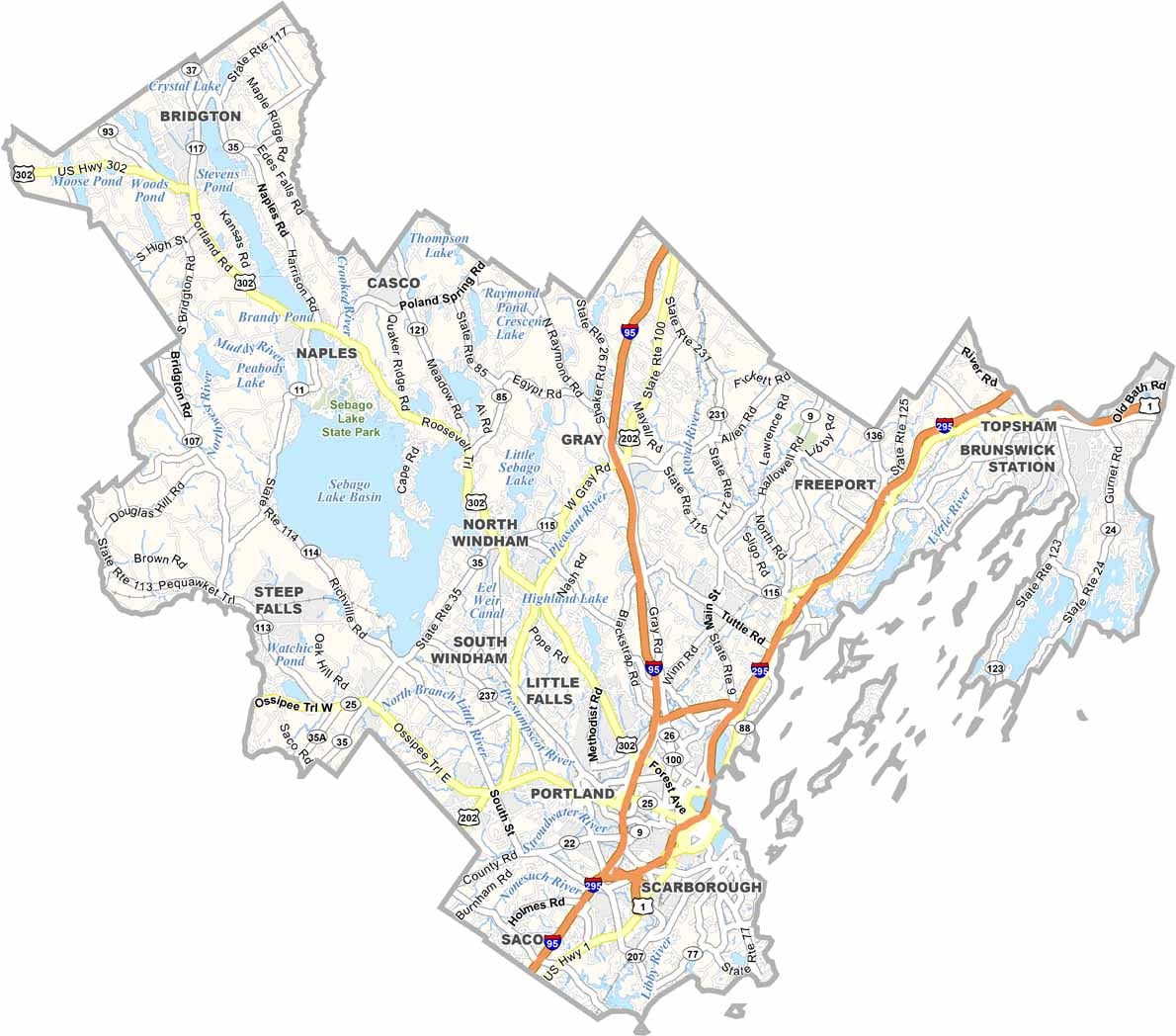
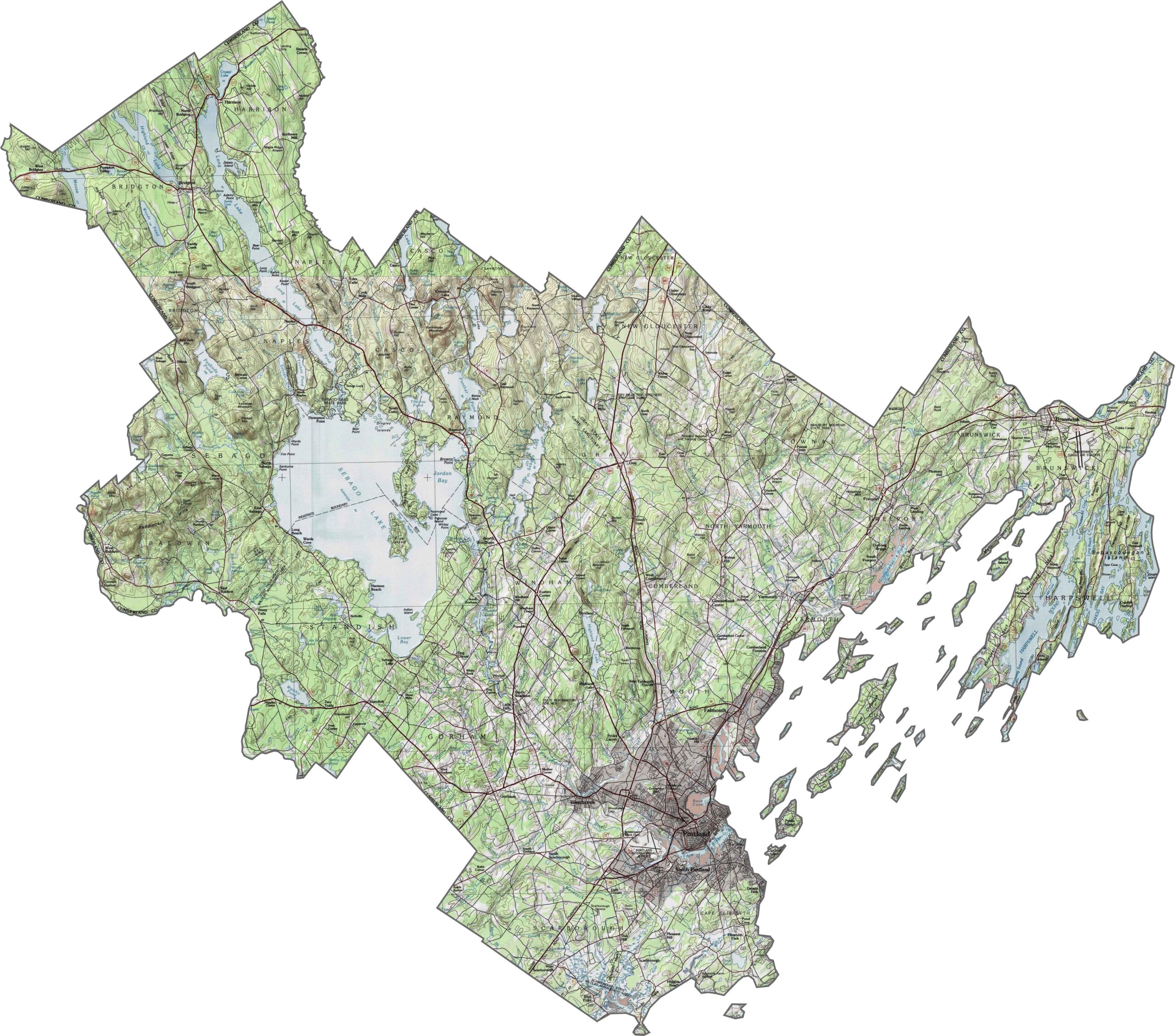
Cumberland County features a mix of coastal plains and low hills. While the interior has wooded rises, the shoreline remains mostly flat. Rocky ridges appear unexpectedly in some areas, though they never become too steep. Even near the ocean, small cliffs occasionally interrupt the gentle slopes. Check the elevation changes with our zoom tool.
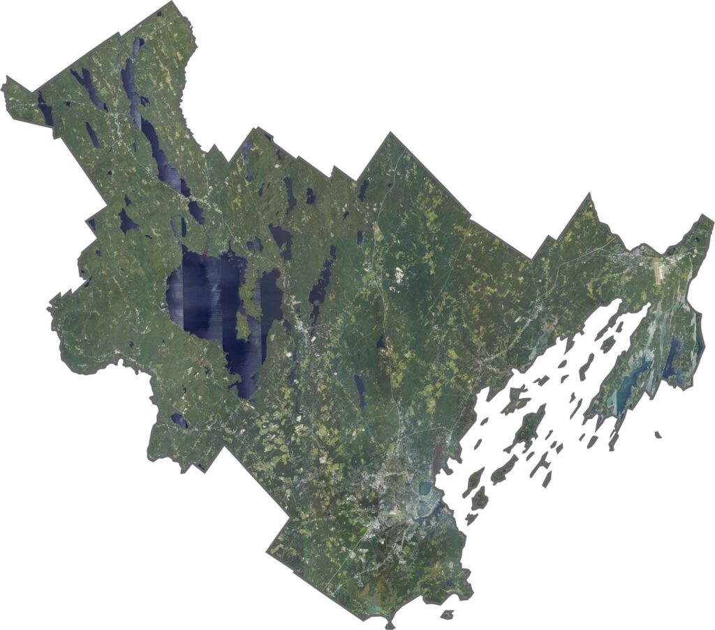
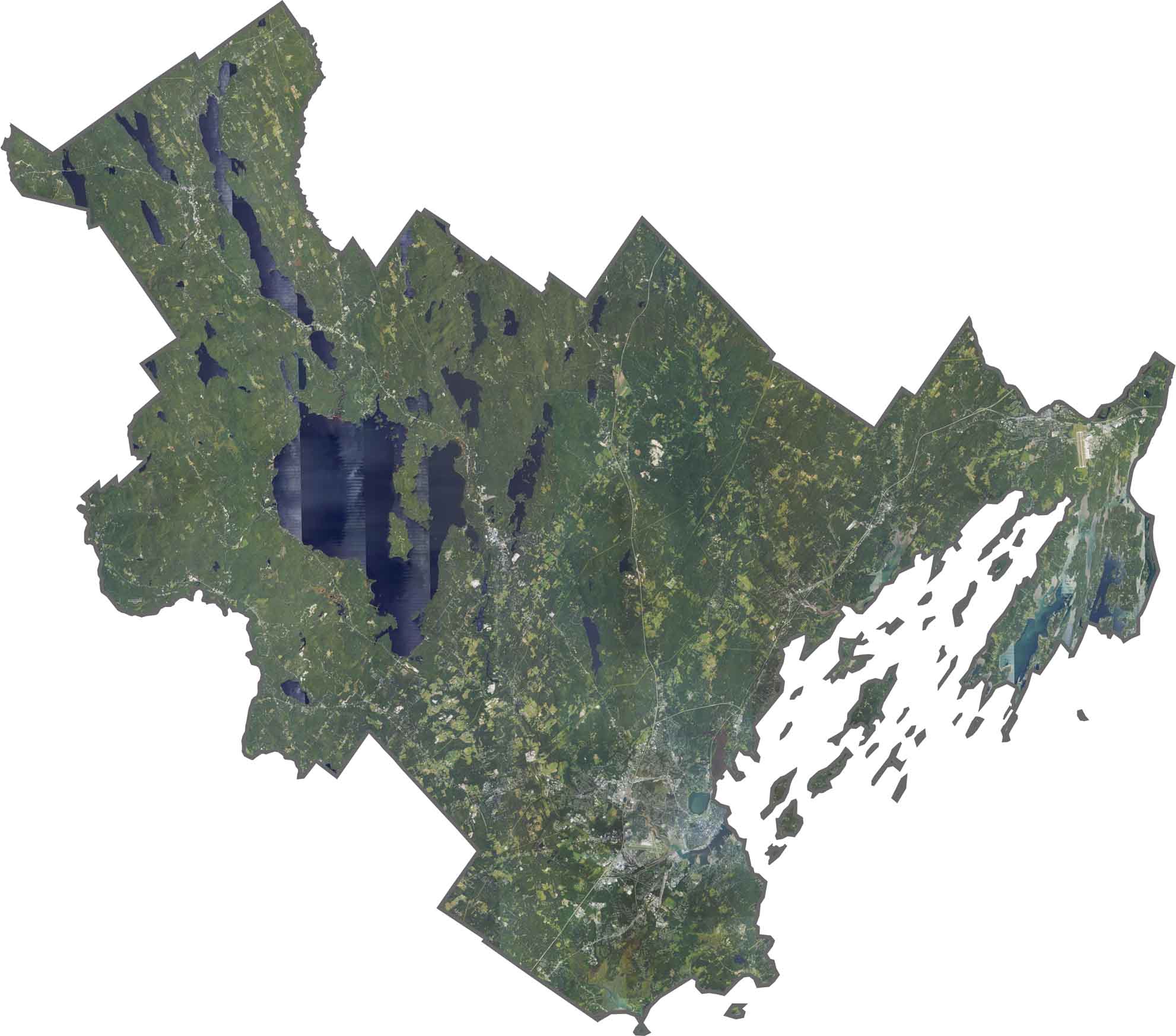
The coast immediately stands out, with jagged inlets and scattered islands. Portland’s urban sprawl appears as gray grids near the shore. Inland, forests and lakes create dark green and blue patches. Sebago Lake, for example, is enormous. Narrow roads weave through the trees, connecting small towns across the county.
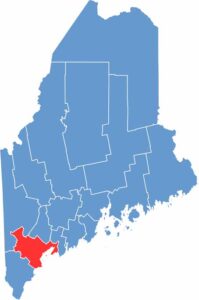
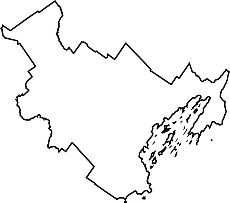
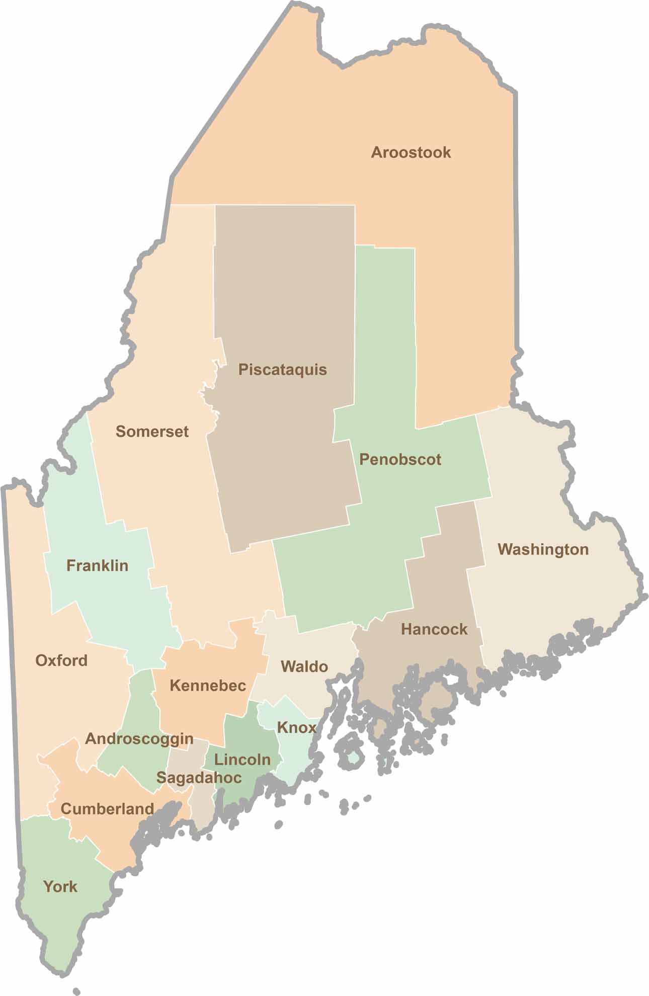
The county curves along the Atlantic, giving it a stretched and uneven shape. It nearly reaches New Hampshire to the southwest. York, Oxford, and Androscoggin Counties also surround it.

Life moves at the pace of the tides here. One day might be spent hiking forest trails, and the next watching fog roll over quiet harbors. Discover what makes each county special with our Maine county maps.