
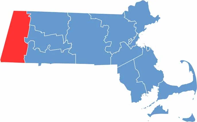
Berkshire County occupies the westernmost part of Massachusetts and is a place where all four seasons bring something different.
Fall is especially stunning, with vibrant foliage covering the mountains in shades of red and gold. Winters can be harsh, but they turn the Berkshires into a snowy playground for skiing and sledding.
Summer brings a lively cultural scene, with Tanglewood attracting classical music fans from around the country. Then comes spring, offering peaceful country roads and farm stands filled with fresh local produce.
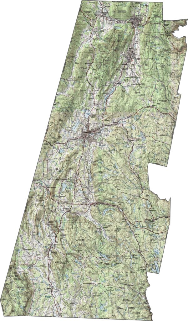
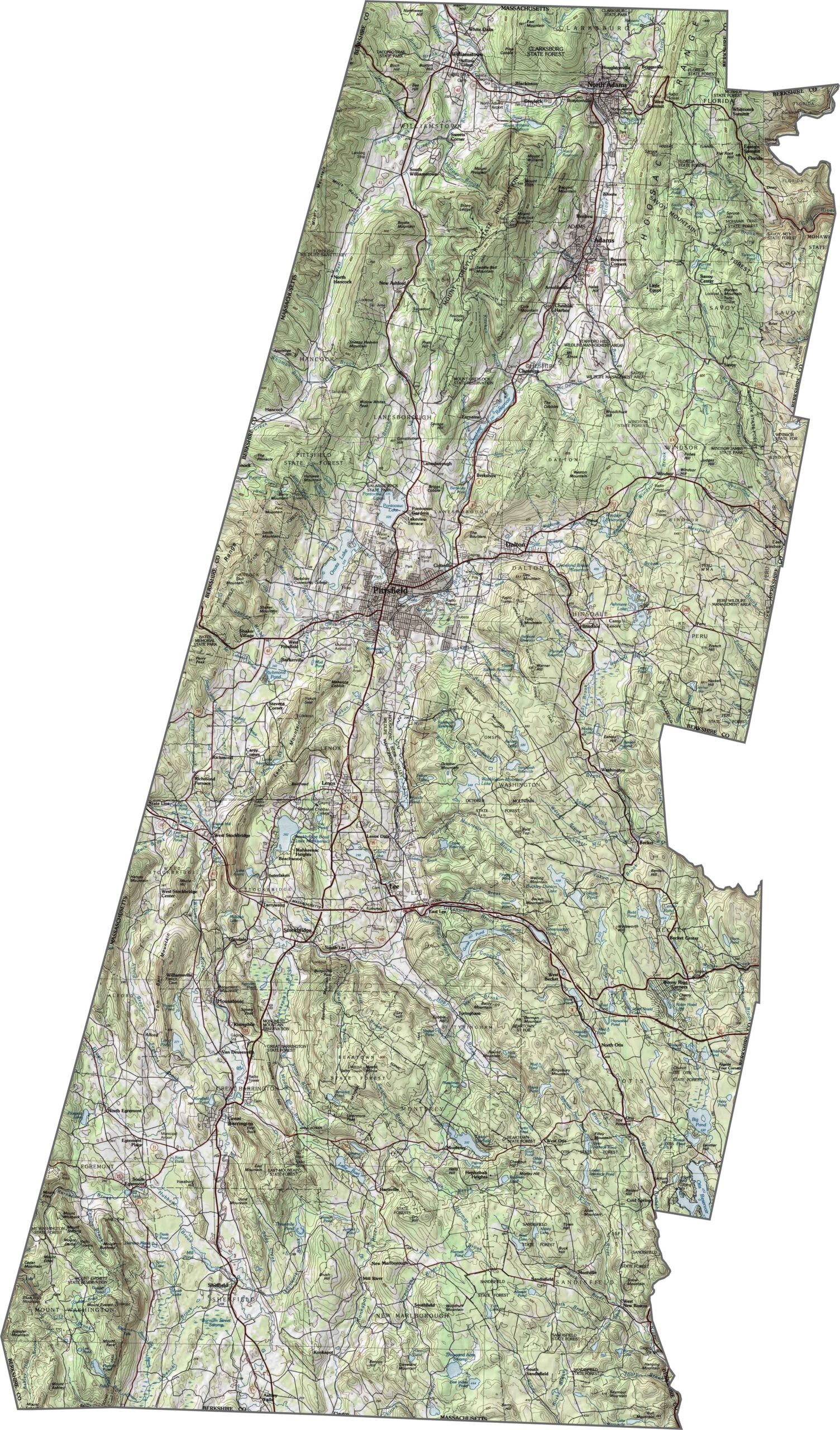
Berkshire County has rugged, elevated terrain, with mountains dominating much of the western half. Valleys wind between the ridges, giving the landscape a folded appearance. Explore the county’s higher elevations with our topo map below.
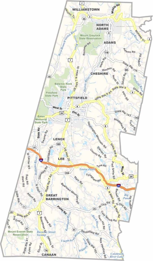
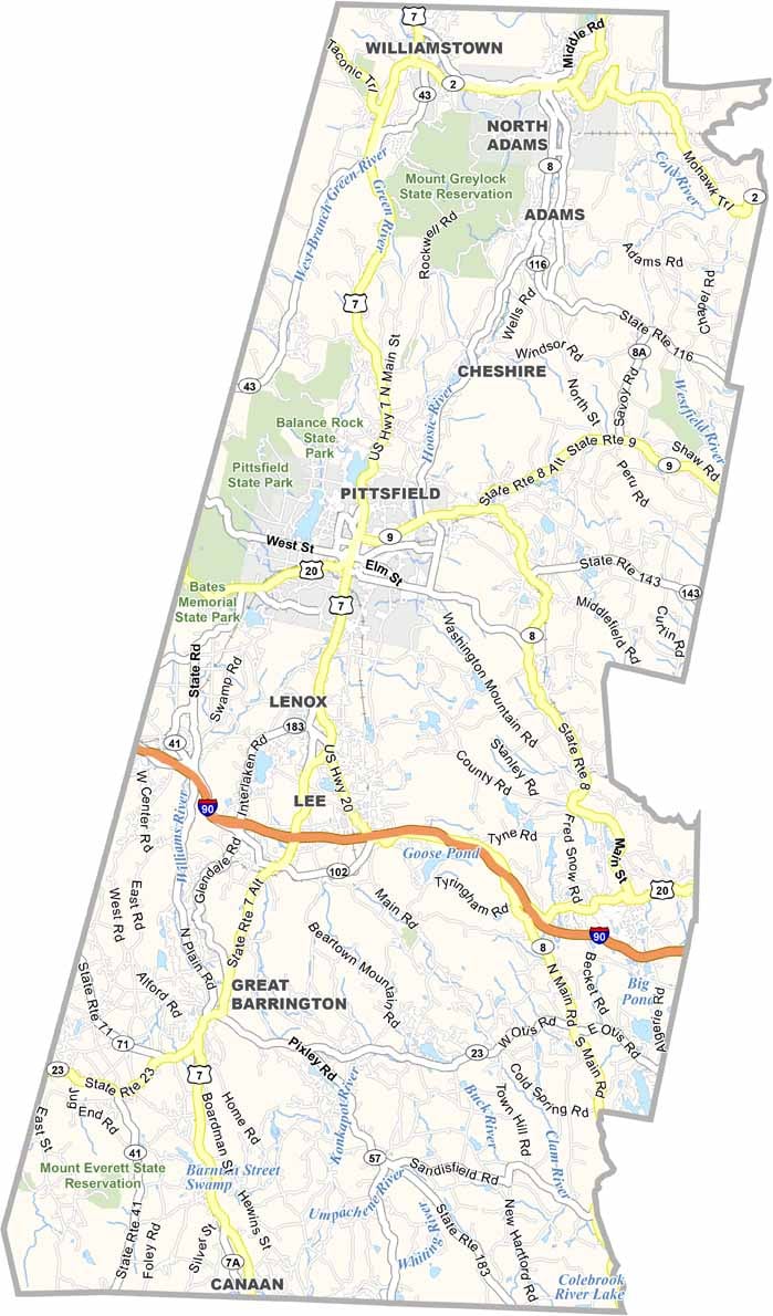
Roads in Berkshire County wind through mountains and small towns. Interstate 90 reaches the southern end, while major highways are otherwise limited. Route 7 runs north to south, following a winding path through the county. It’s more scenic than speedy. Despite being the largest county in Massachusetts, Berkshire County has relatively few expressways. Try our zoom tool below to explore the road network.
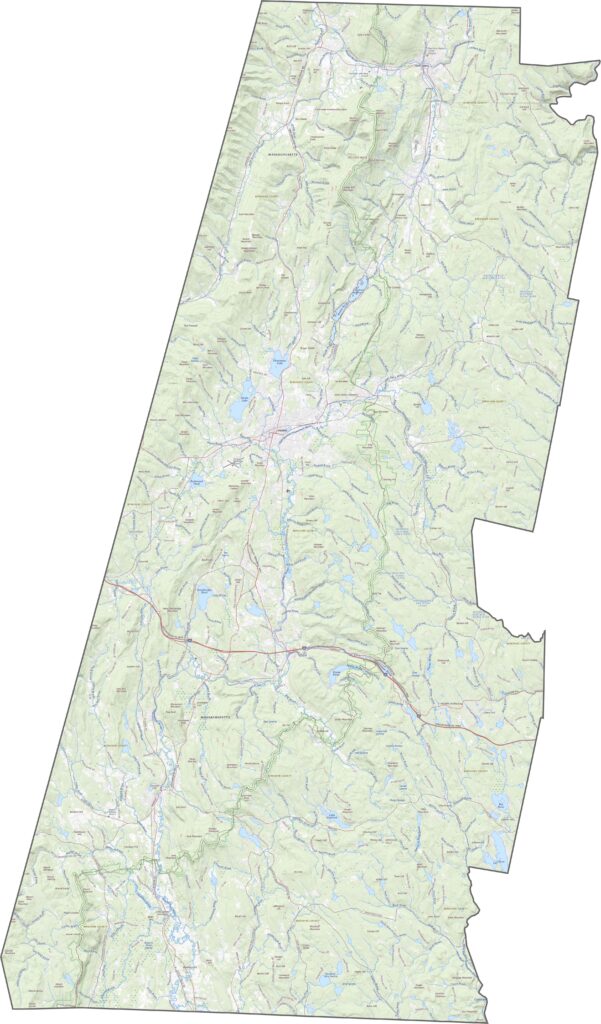
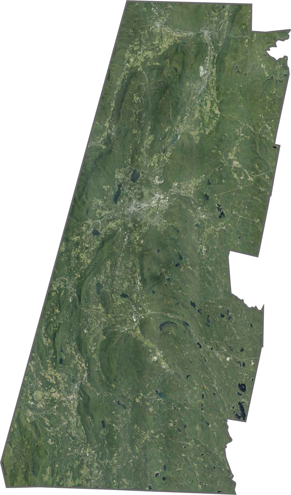
Forests cover most of Berkshire County, particularly across the hills. Towns such as Pittsfield and North Adams stand out among the surrounding greenery. The satellite view reveals dense woods, winding rivers, and long mountain shadows. Open clearings appear throughout the county, but the natural landscape remains the dominant feature.
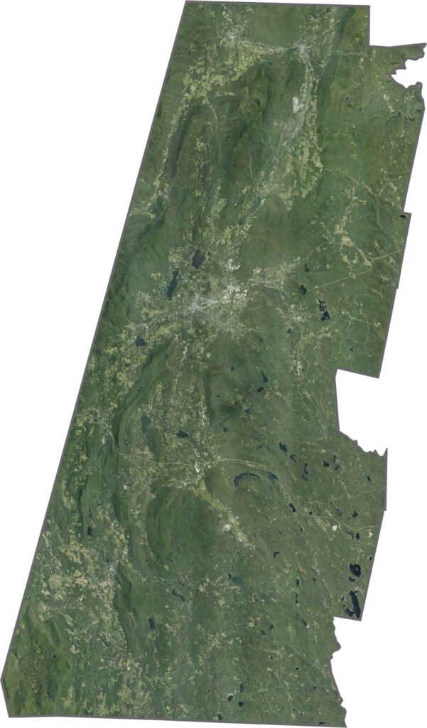
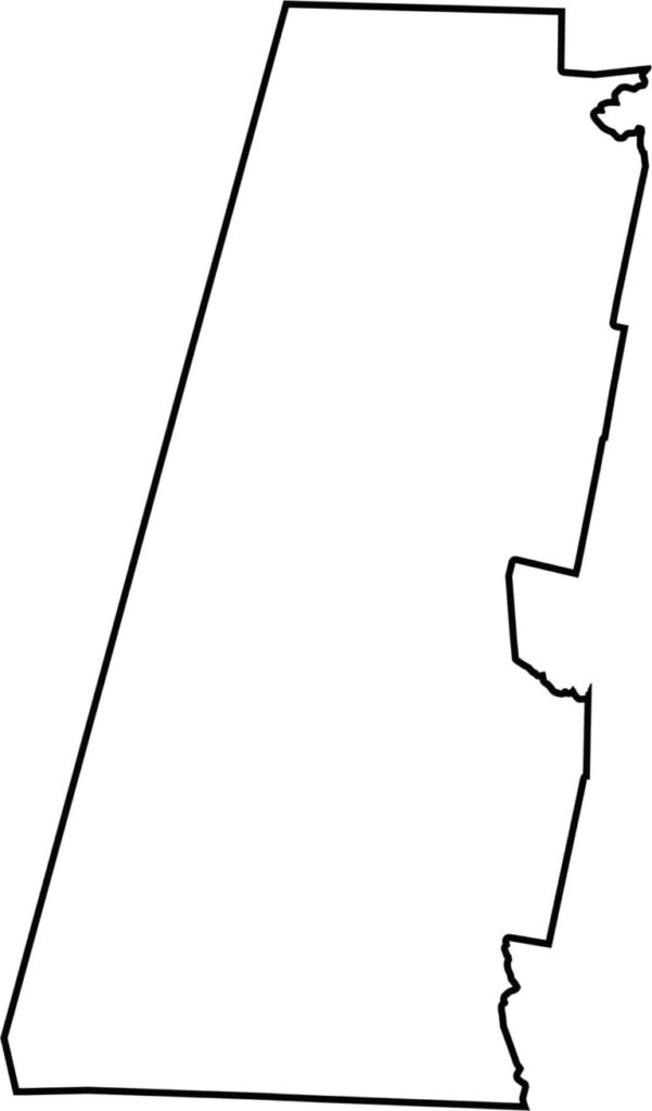
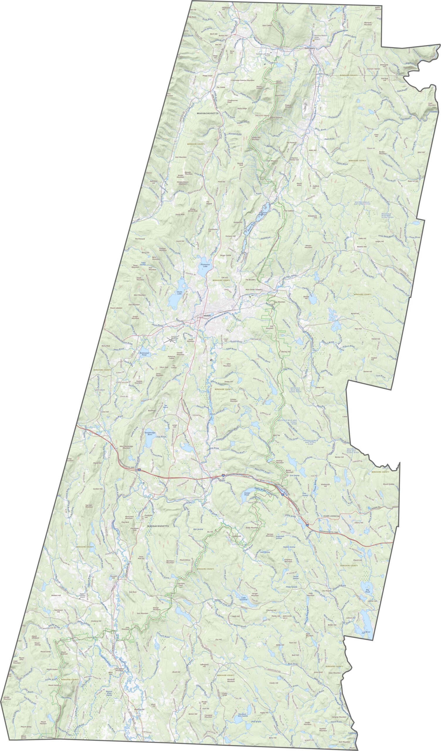
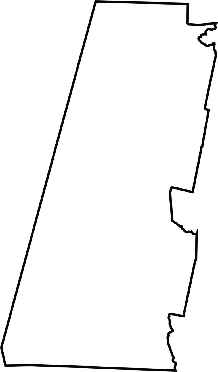
Berkshire County has a tall, narrow shape that stretches north to south along the western edge of Massachusetts. It borders New York to the west, Connecticut to the south, and Vermont to the north.
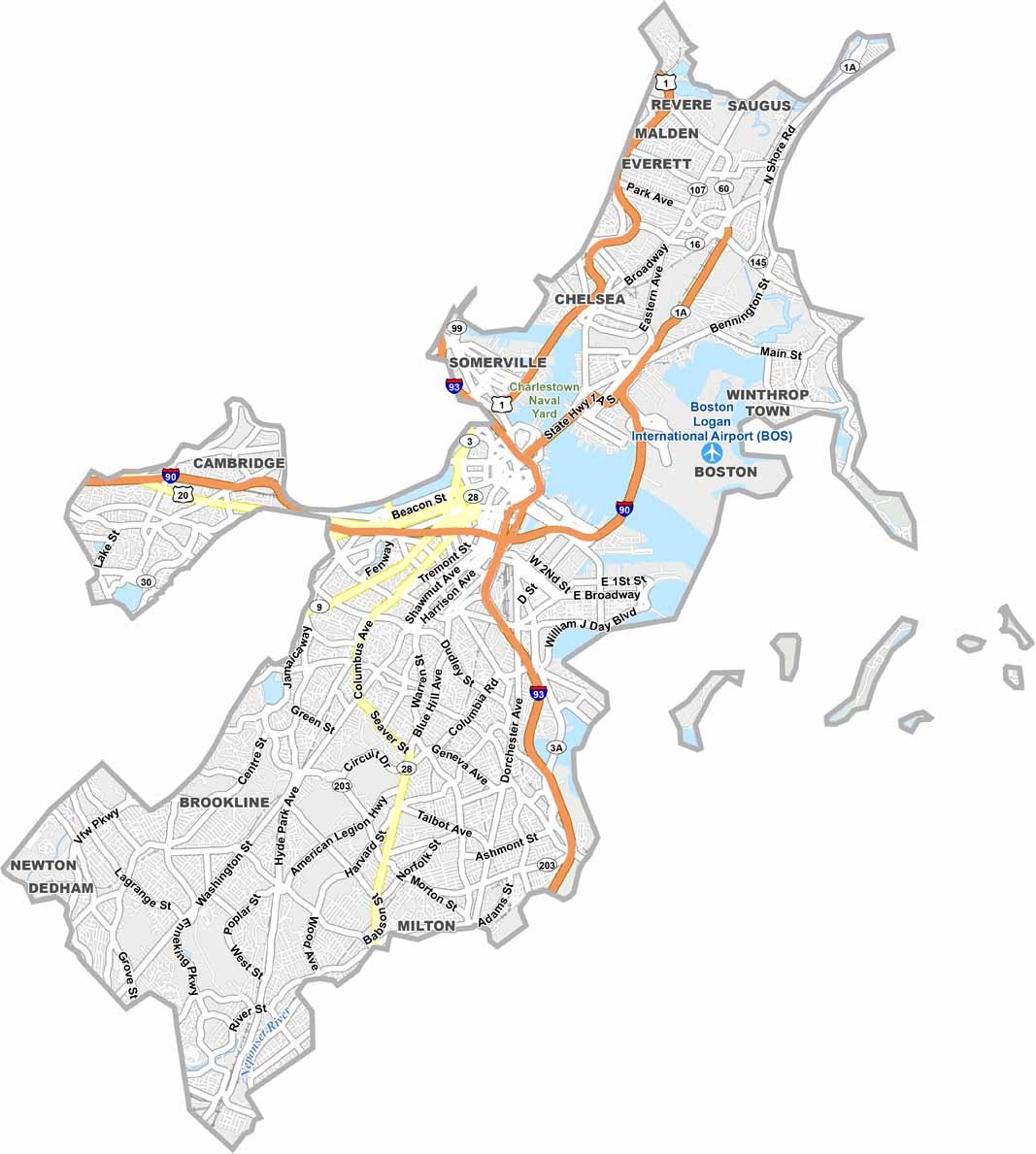
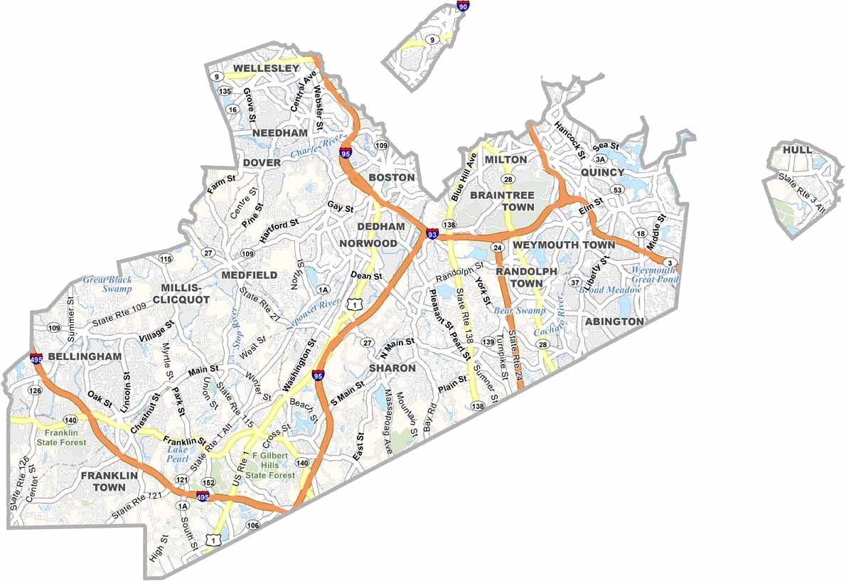
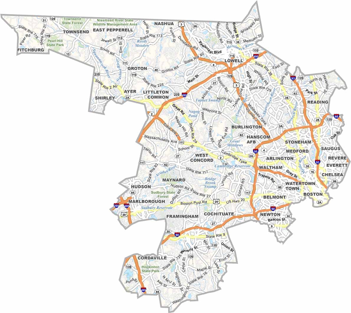
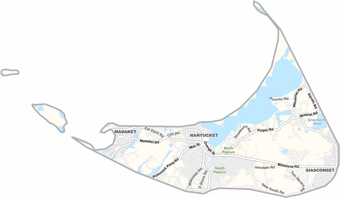
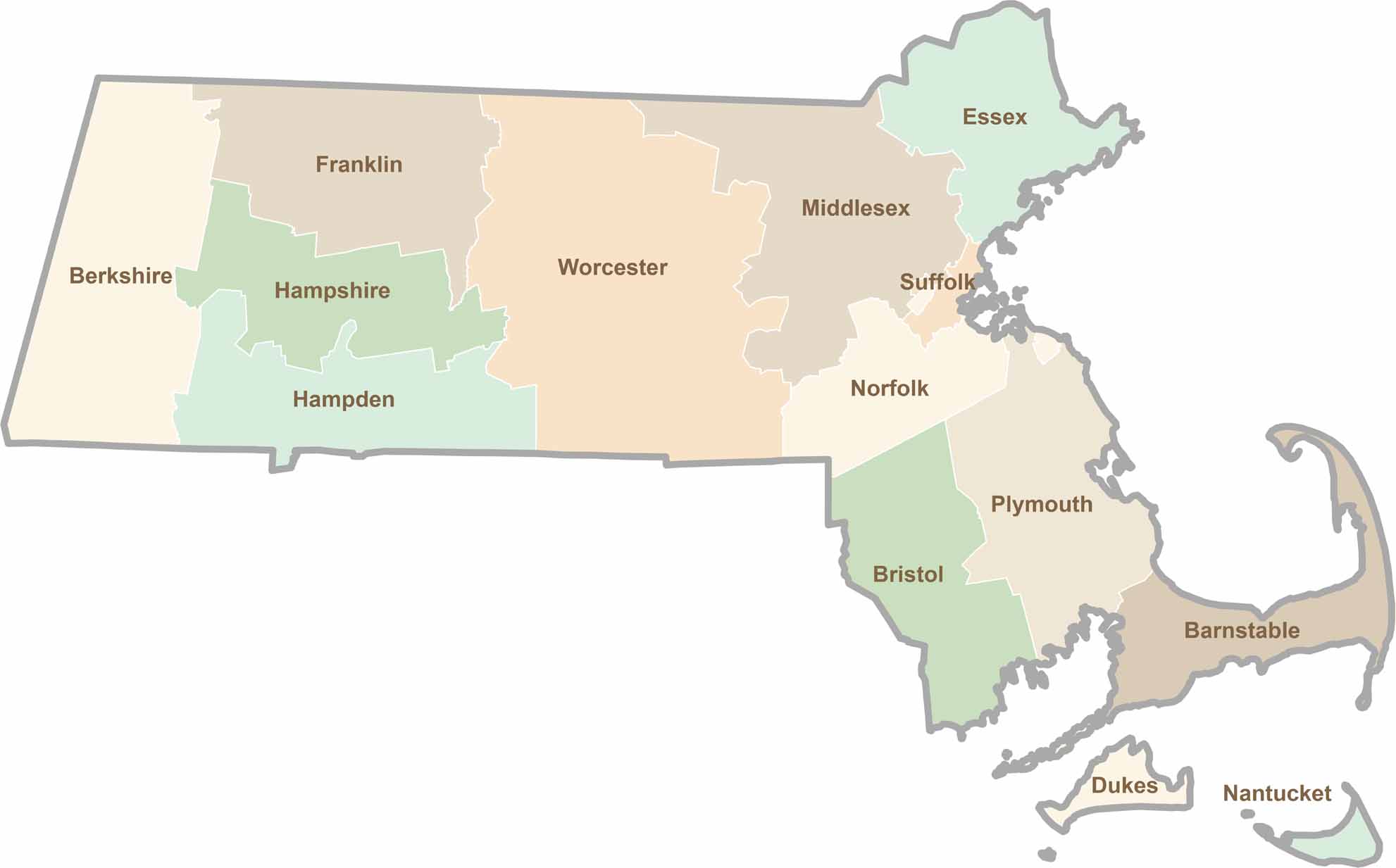
Small state, big personality. Boston’s skyline is packed with history, while the Cape delivers beach days and lobster rolls. Massachusetts brings together history, culture, and coastline across its 14 counties.