
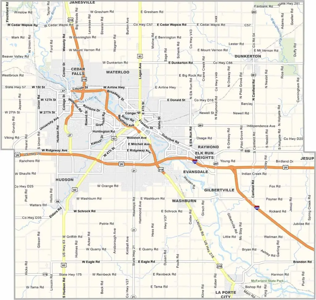
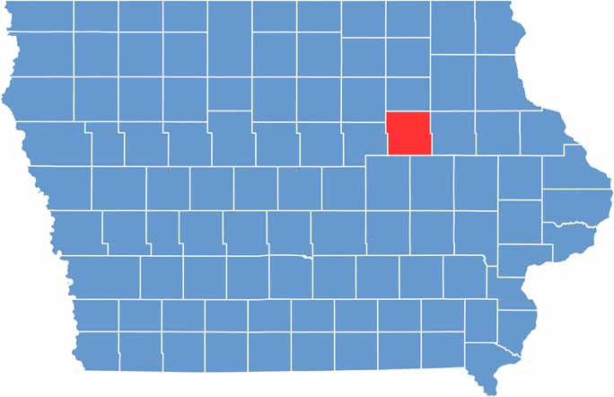
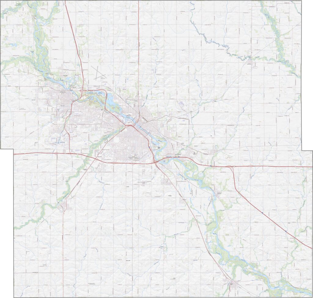
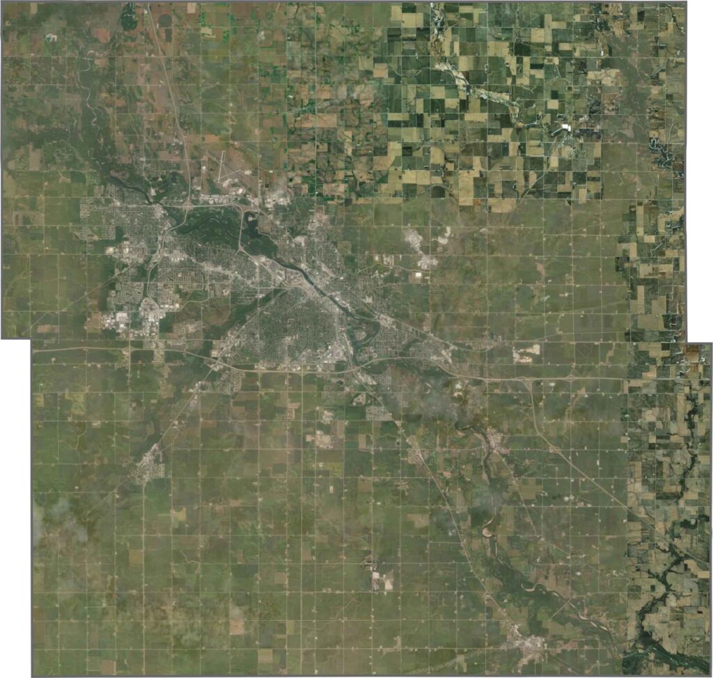
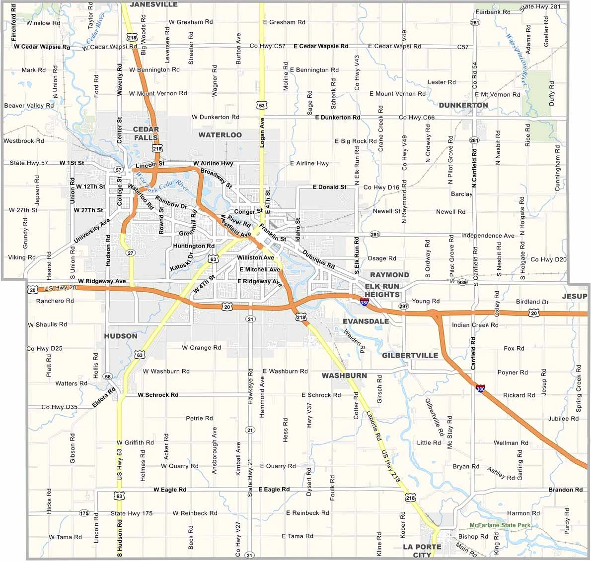
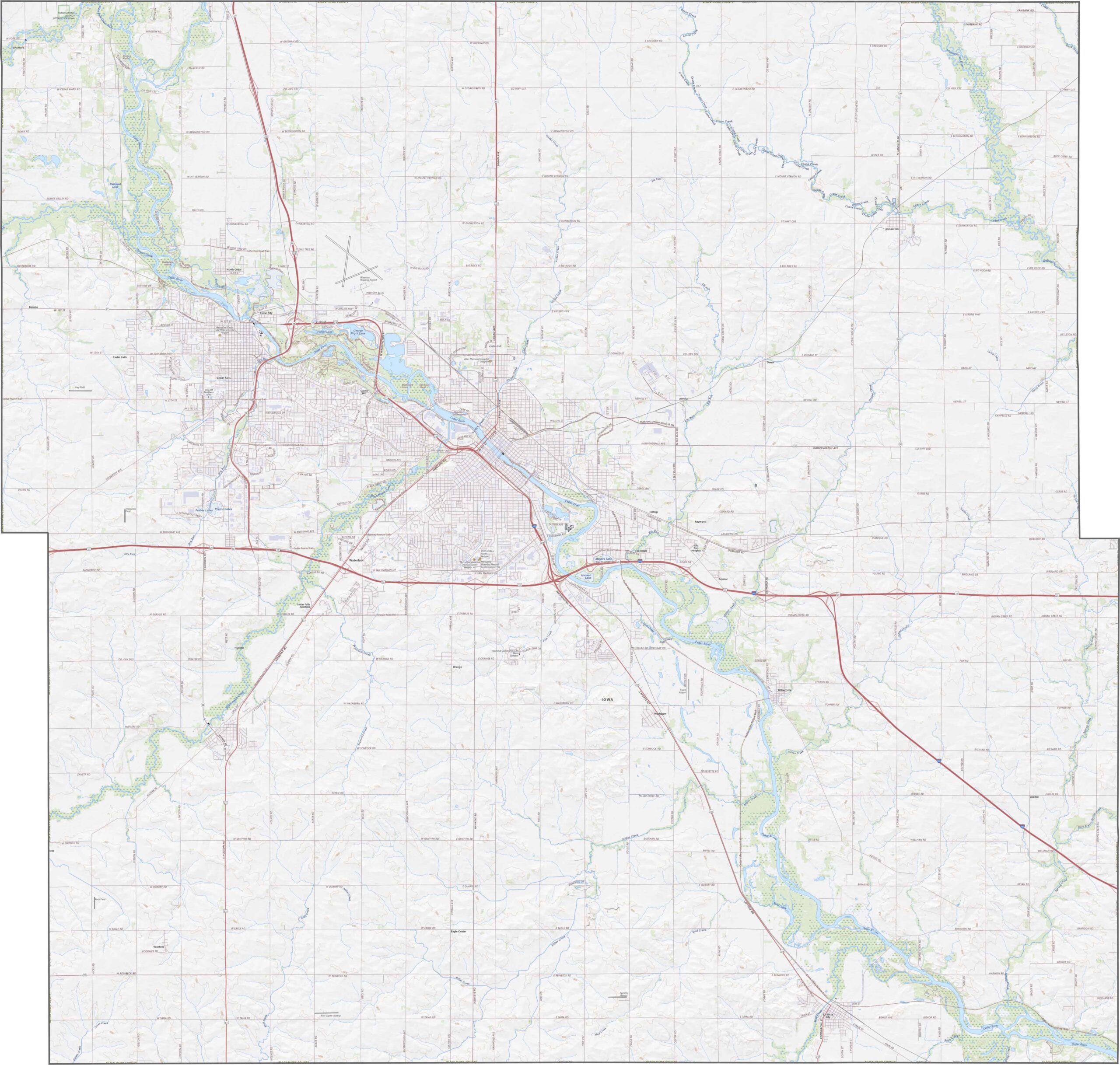
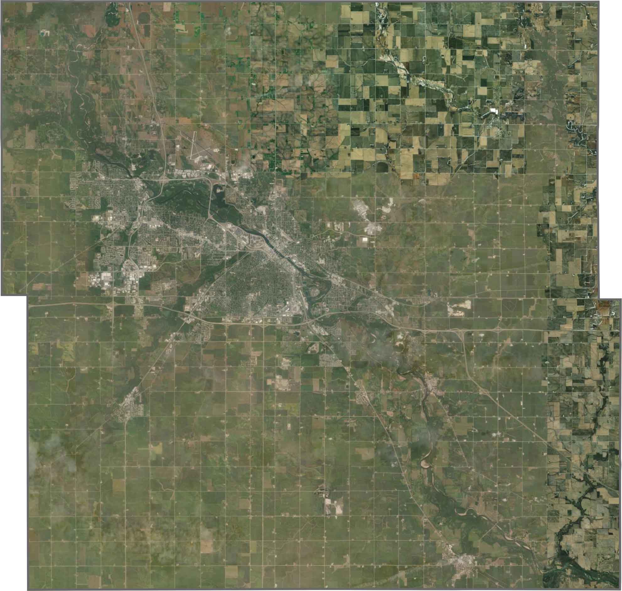
Waterloo and Cedar Falls anchor Black Hawk County, making it one of Iowa’s major urban centers. The county is full of industry and is home to John Deere’s largest tractor factory.
The county’s diverse community and strong economy make it an important part of the region. The UNI-Dome at the University of Northern Iowa hosts everything from college football games to rock concerts.
The Cedar Valley Trails offer more than 100 miles of biking and hiking paths, connecting Waterloo with neighboring Cedar Falls. With its festivals and scenic trails, Black Hawk County is a place worth getting to know.
Despite the presence of the Missouri River, Woodbury County has a wide-open feel. I-29 follows the river closely, while U.S. Highway 20 runs east-west across the county. Smaller roads may end at levees or transition into gravel, creating a unique mix where highways and natural landscapes do not always align. Explore the map below with our zoom tool for a closer look at these features.
Despite the presence of the Missouri River, Woodbury County has a wide-open feel. I-29 follows the river closely, while U.S. Highway 20 runs east-west across the county. Smaller roads may end at levees or transition into gravel, creating a unique mix where highways and natural landscapes do not always align. Explore the map below with our zoom tool for a closer look at these features.
Despite the presence of the Missouri River, Woodbury County has a wide-open feel. I-29 follows the river closely, while U.S. Highway 20 runs east-west across the county. Smaller roads may end at levees or transition into gravel, creating a unique mix where highways and natural landscapes do not always align. Explore the map below with our zoom tool for a closer look at these features.






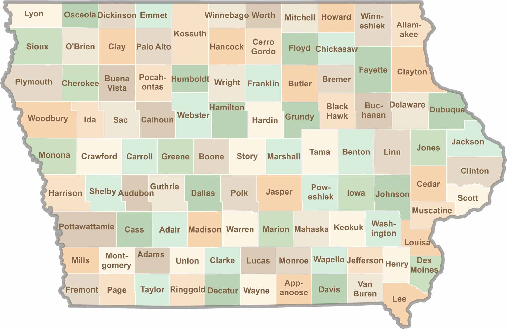
Where the sky stretches wide and scenic backroads lead to authentic small-town experiences, Iowa’s 99 counties offer plenty of charm to discover. Come explore the beauty of wide-open spaces, peaceful landscapes, and the simple grace that makes the Hawkeye State truly special.