
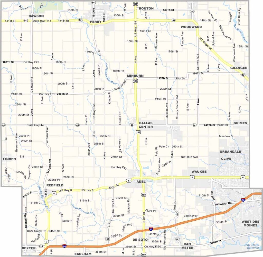
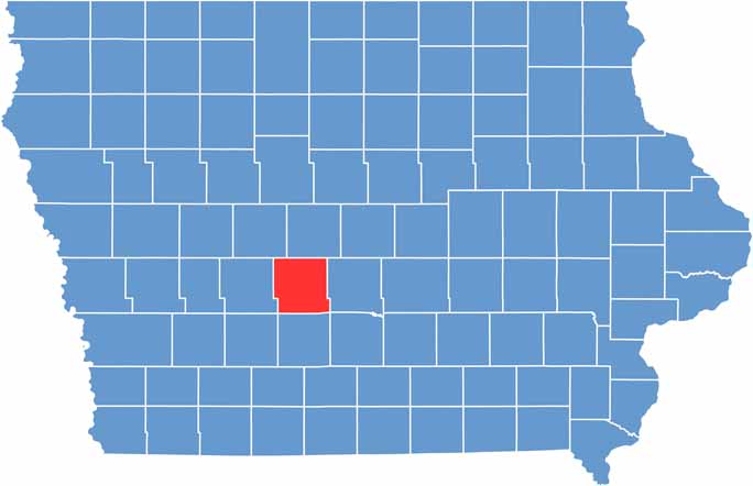
Dallas County, located just west of Des Moines, is one of Iowa’s fastest-growing areas. Waukee and Adel are both booming as suburbs of Des Moines.
The Raccoon River Valley Trail runs through the county and is popular with cyclists and runners. U.S. Highway 6 and Interstate 80 make Dallas County easily accessible from across the state.
There are plenty of shopping, dining, and entertainment options throughout the area. With its population growing to around 110,000 people, Dallas County has become a hotspot for new development.
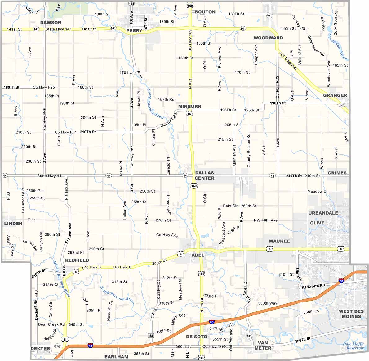
Interstate 80 runs east to west across Dallas County, connecting Des Moines with the rest of Iowa. US Highway 169 provides a north-south route, while smaller roads crisscross the rural areas. Despite being close to Des Moines, much of the county remains open and spacious. Zoom in to explore the details of our Dallas County road map.
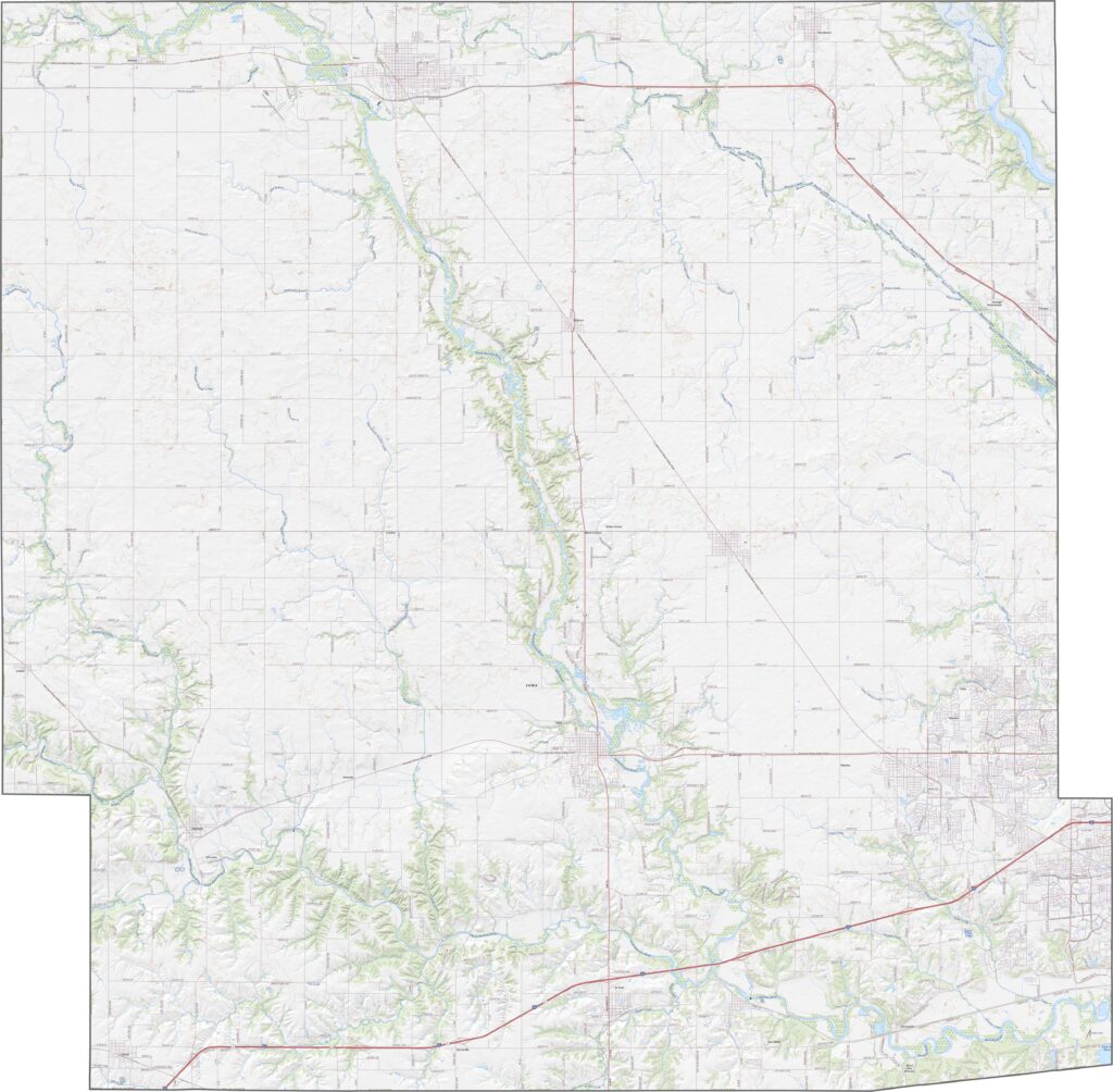
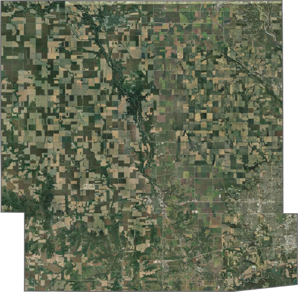
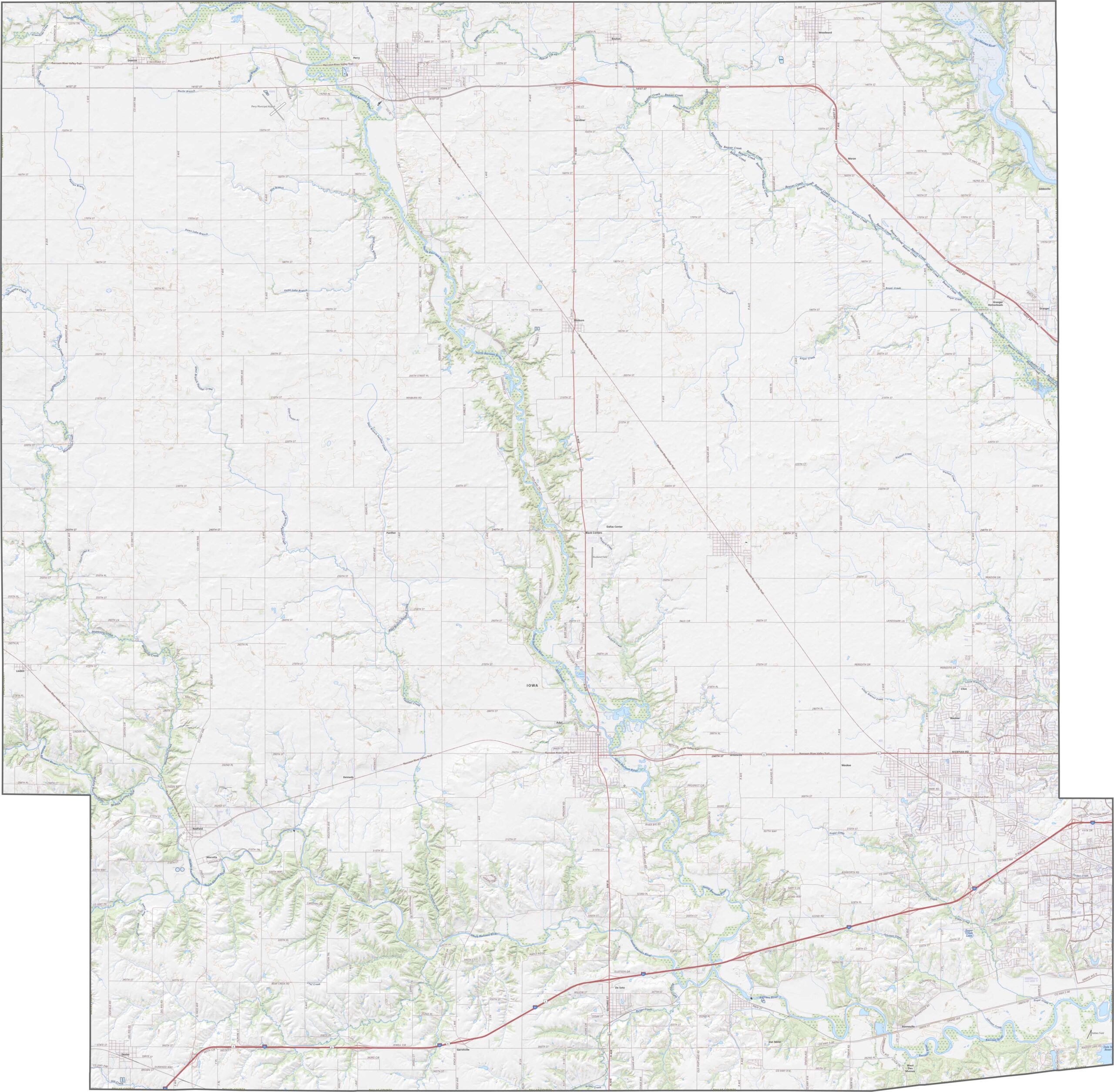
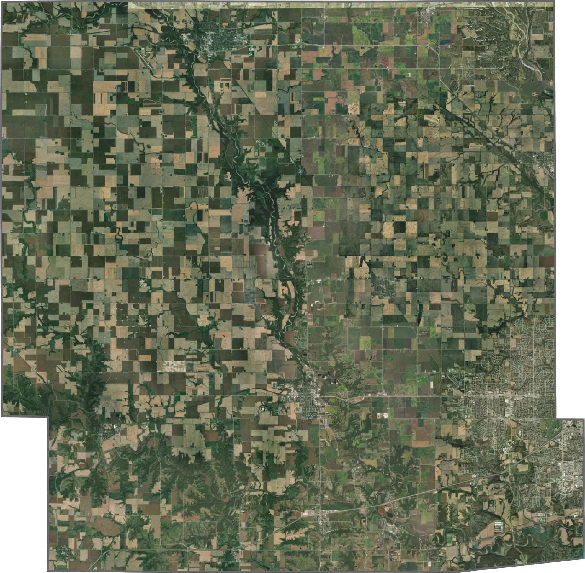
The Raccoon River winds through Dallas County, surrounded by wooded corridors. Suburban growth from Des Moines is expanding into the eastern side, with new developments appearing along the way. Elsewhere, vast farmland stretches across the landscape in geometric patterns. Although the county is mostly rural, lakes and parks add some contrast.
Dallas County has a jagged rectangular shape that is wider toward the top. It does not border another state but sits just west of Polk County, home to Des Moines.






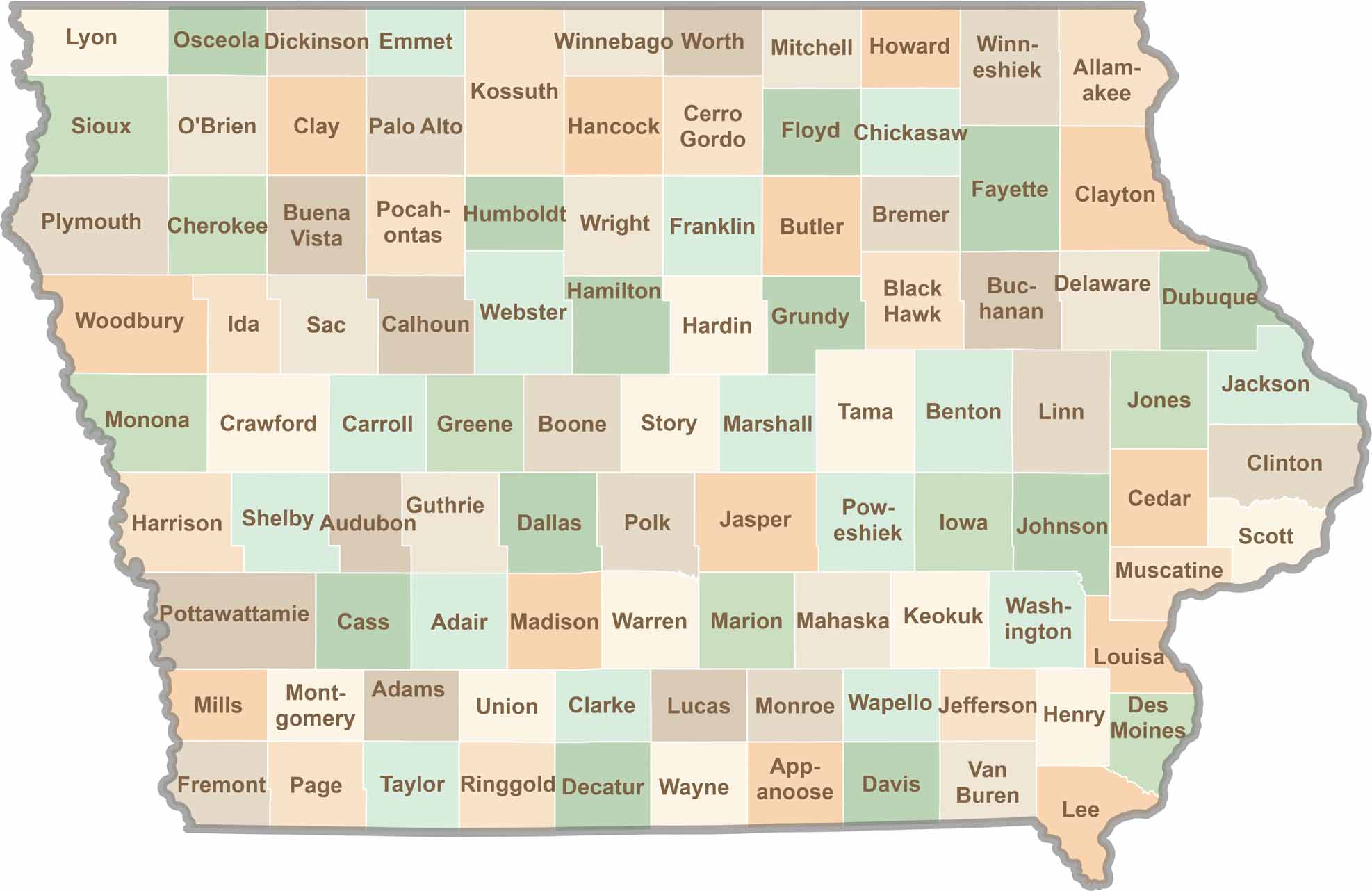
Where the sky stretches wide and scenic backroads lead to authentic small-town experiences, Iowa’s 99 counties offer plenty of charm to discover. Come explore the beauty of wide-open spaces, peaceful landscapes, and the simple grace that makes the Hawkeye State truly special.