
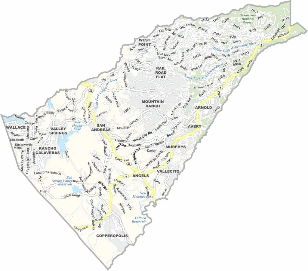
Calaveras County is famous for its connection to Mark Twain’s story about a jumping frog. Located in the Sierra Nevada foothills, the county combines Gold Rush history with scenic landscapes and outdoor recreation.
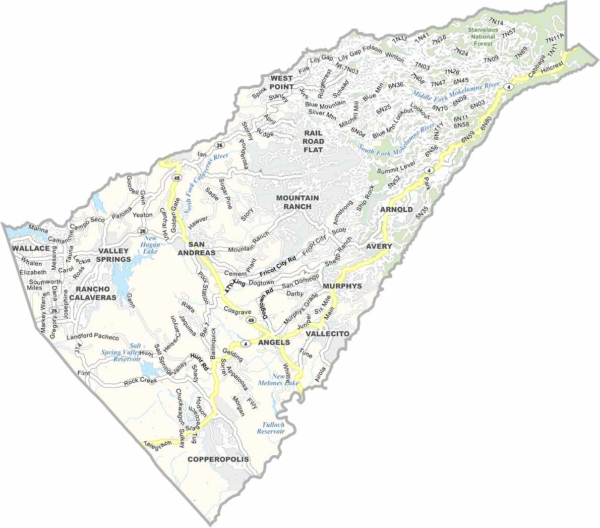
Angels Camp is the main community and hosts the annual Calaveras County Fair & Jumping Frog Jubilee, celebrating the county’s literary connection. San Andreas serves as the county seat, while nearby Murphys is known for its wineries and historic Gold Rush character.
Highways 4 and 49 provide major routes through the region, connecting communities and leading toward attractions such as Calaveras Big Trees State Park, home to towering giant sequoias. With its historic towns, vineyards, forests, and distinctive frog-themed heritage, Calaveras County has plenty of character.
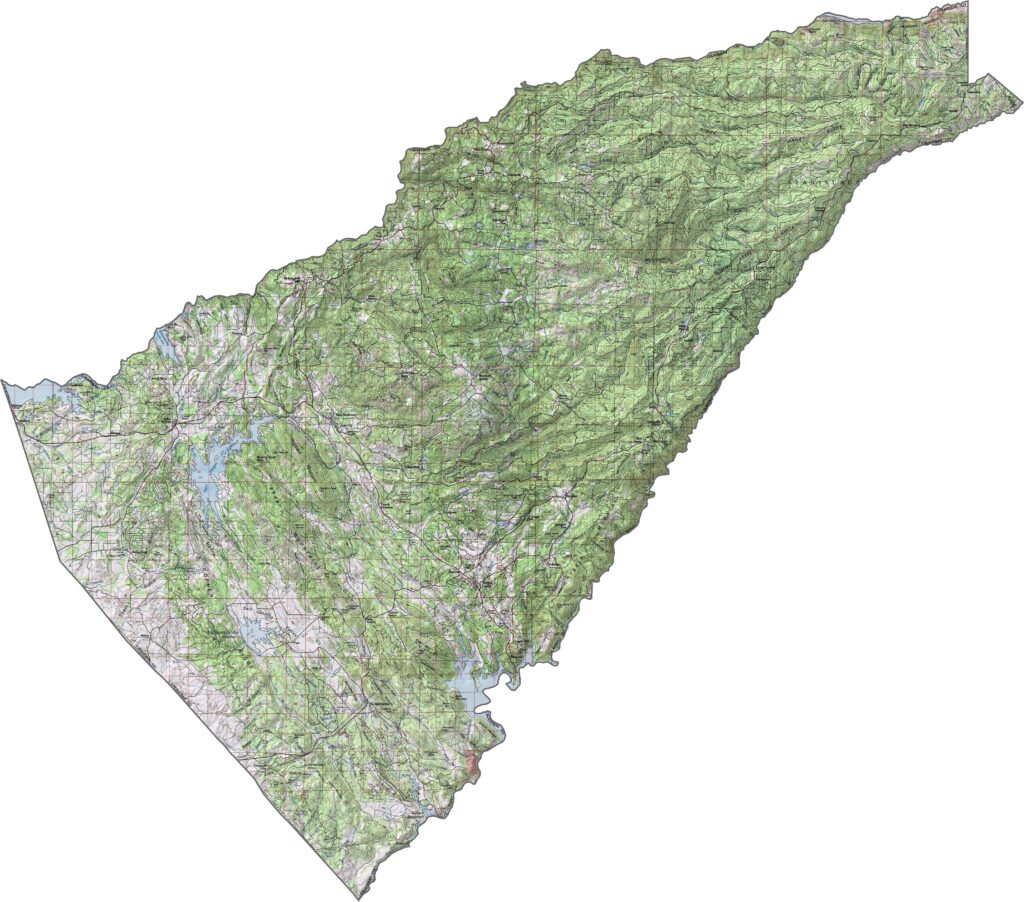
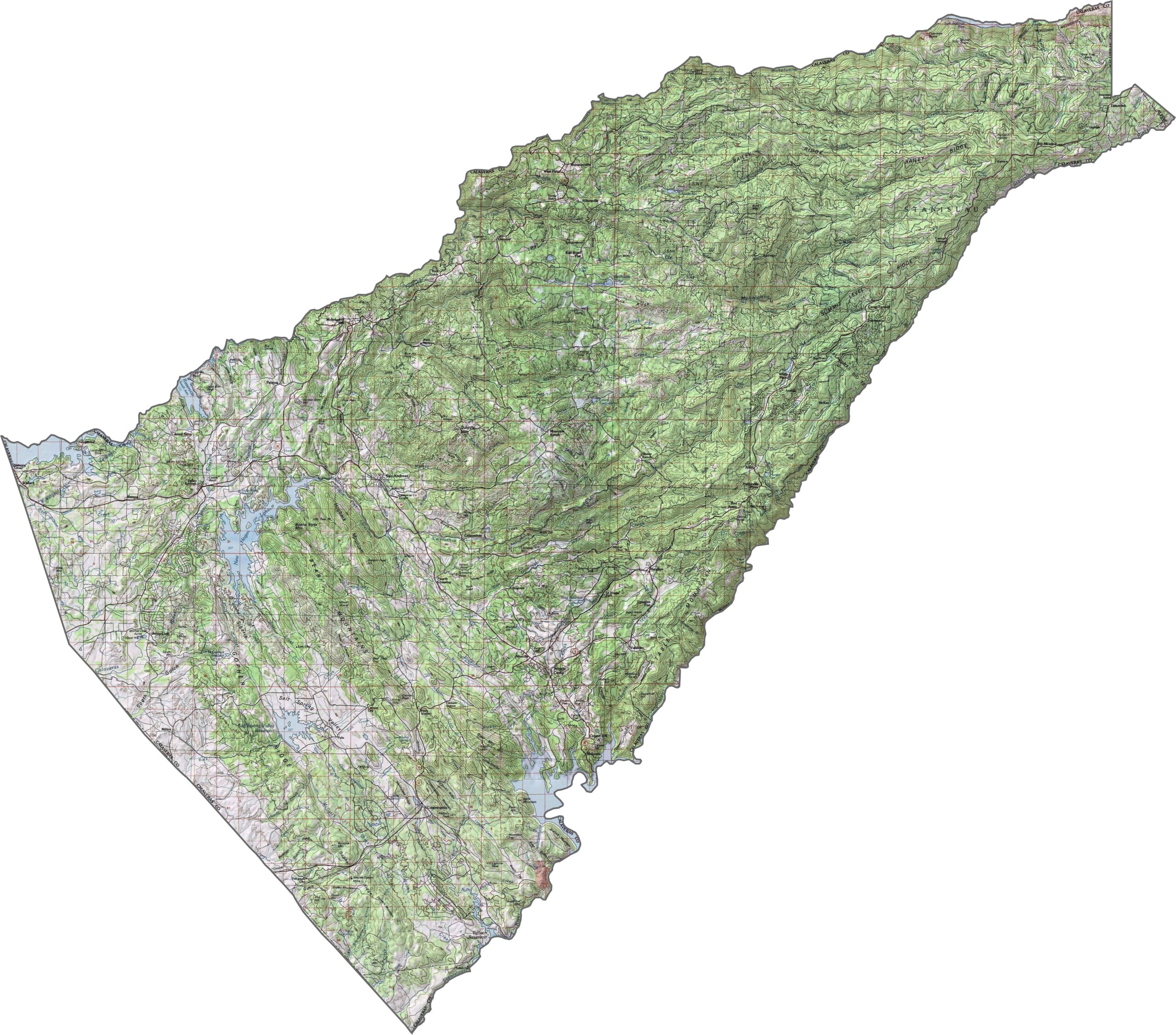
This topographic map highlights Calaveras County’s rolling Sierra Nevada foothills, with river canyons and elevations increasing toward the east. Use our zoom tool to explore the county’s changing terrain in greater detail.
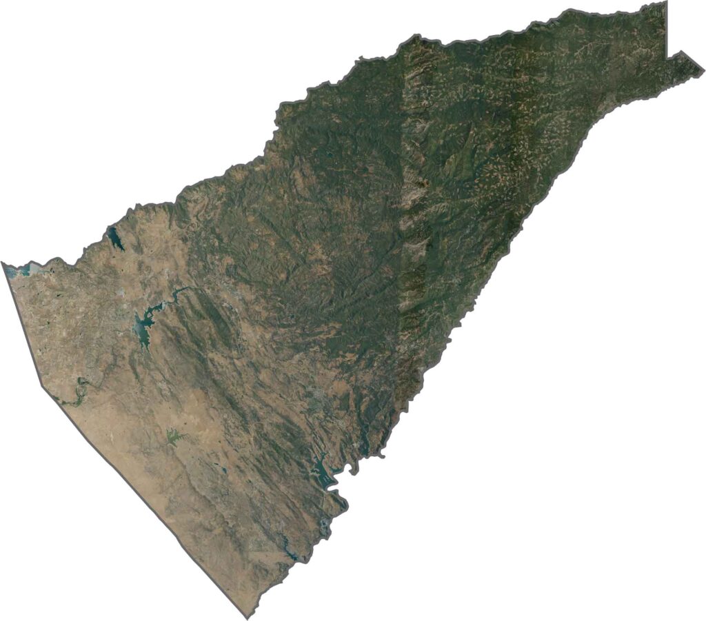
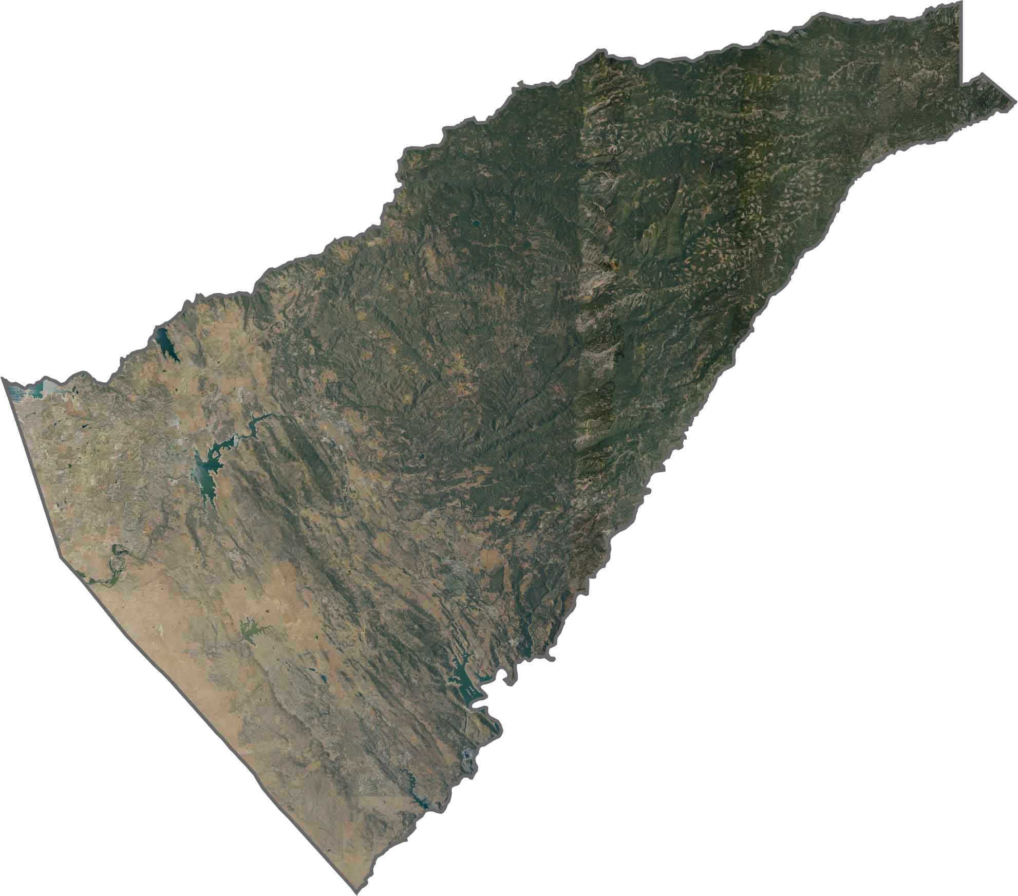
This satellite map shows oak-covered foothills and pine forests across Calaveras County. Small communities appear as bright clearings connected by winding mountain roads, creating a distinctive pattern across the rugged landscape.
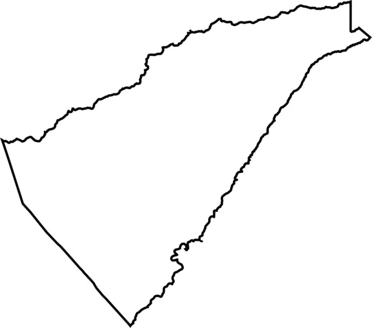
This blank map outlines Calaveras County’s elongated shape, stretching from the Central Valley into the Sierra Nevada. The simple template provides a foundation for marking historic Gold Rush towns, mountain communities, and notable natural landmarks.








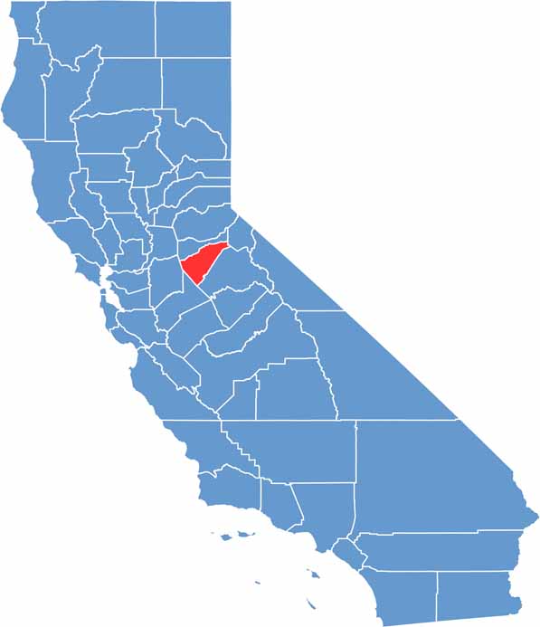
Ever wonder how California’s 58 counties are organized? Our California county map lays them all out, from the Pacific Coast to the vast desert regions. Explore the map to find the counties you know—and perhaps discover a few you don’t.