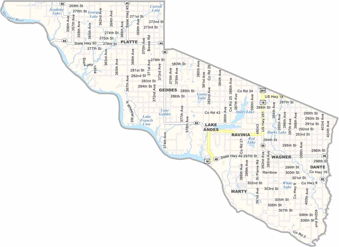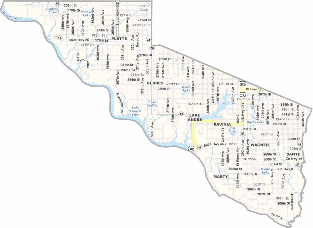
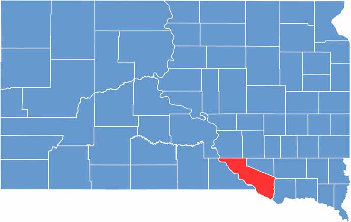
Charles Mix County is in the southeastern part of South Dakota. The Missouri River shapes the western border of the county. Platte and Wagner are the biggest towns, but they’re still pretty small.
The county was named after a fur trader, so Native American history runs deep in these parts. Tribal lands of the Yankton Sioux make up a good chunk of the area.
Farmers here grow everything from corn, soybeans, and wheat. Fishing is also popular on the river and Lake Francis Case. Lake Andes is the county seat. Summers are hot, but winters are cold and windy.
| Category | Details |
|---|---|
| County Name | Charles Mix County |
| County Seat | Lake Andes |
| Population | Approximately 9,000 |
| Cities, Towns, and Communities | Lake Andes, Wagner, Platte, Geddes, Dante |
| Interstates and Highways | U.S. Highway 18, U.S. Highway 281 |
| FIPS Code | 46-023 |
| Total Area (Land and Water) | 1,150 square miles (1,097 sq mi land, 53 sq mi water) |
| Adjacent Counties (and Direction) | Brule County (Northwest), Aurora County (North), Douglas County (Northeast), Hutchinson County (Northeast), Bon Homme County (East), Knox County, Nebraska (Southeast), Boyd County, Nebraska (Southwest), Gregory County (West) |
| Time Zone | Central Time Zone (CST) |
| State | South Dakota |
| Coordinates | 43°09’N, 98°35’W |
| Etymology | Named after Charles Mix, a clerk of the first legislature of Dakota Territory |
| Major Landmarks | Fort Randall Dam, Lake Andes National Wildlife Refuge |