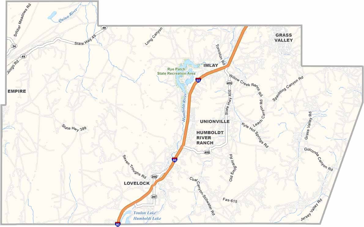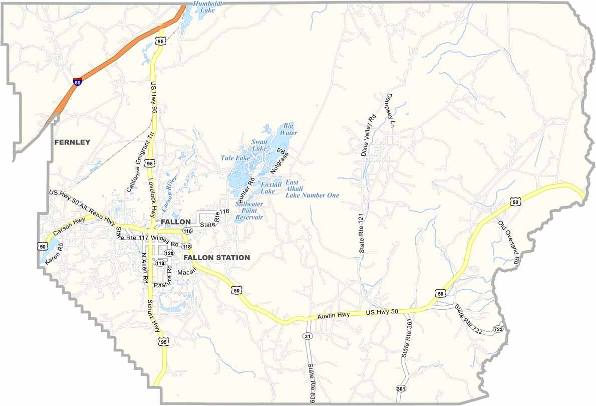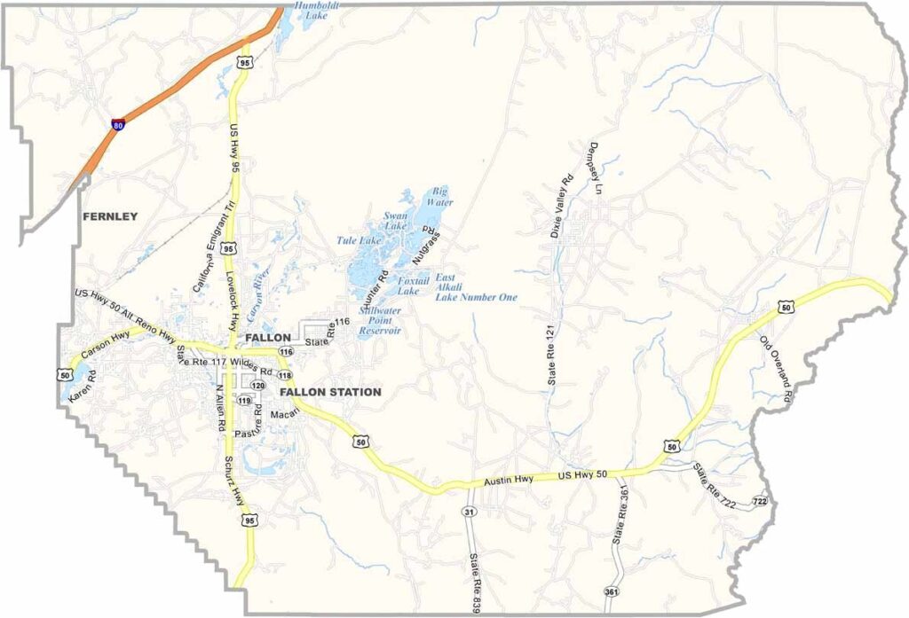
Churchill County Map, Nevada

Churchill County, Nevada

Churchill County lies out in the high desert of western Nevada. Fallon, the county seat, is the largest town around. It's not exactly bustling, but that's part of the appeal.

This is cowboy country, dotted with ranches. The county's history runs deep, from ancient Native American settlements to pioneers seeking their fortunes. Today, Naval Air Station Fallon adds a dash of military presence to the area.

The nearby Lahontan Reservoir, in the western part of the county, is a great spot for fishing and boating. Churchill County is also known for its cantaloupe, which turns out sweet and juicy thanks to the mineral-rich soil.
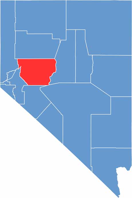
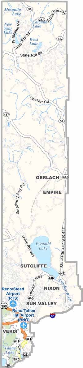
Churchill County location map of Nevada
CategoryDetails
County NameChurchill County
County SeatFallon
EtymologyNamed after Fort Churchill, which was named after Sylvester Churchill, a Mexican-American War hero
Cities, Towns, and CommunitiesFallon, Stillwater, Silver Springs, Hazen, Fallon Station
Interstates and HighwaysU.S. Highway 50, U.S. Highway 95, Nevada State Route 117, Interstate 80 (near northern border)
FIPS Code32-001
Total Area (Land and Water)5,023 square miles (4,929 sq mi land, 94 sq mi water)
Adjacent Counties (and Direction)Lyon County (West), Washoe County (Northwest), Pershing County (North), Lander County (East), Nye County (Southeast), Mineral County (South)
Time ZonePacific Time Zone (PT)
StateNevada
Coordinates39.6008° N, 118.4053° W
Major LandmarksGrimes Point Petroglyph Trail, Stillwater National Wildlife Refuge, Sand Mountain Recreation Area
PopulationApproximately 26,800
Scroll to Top