
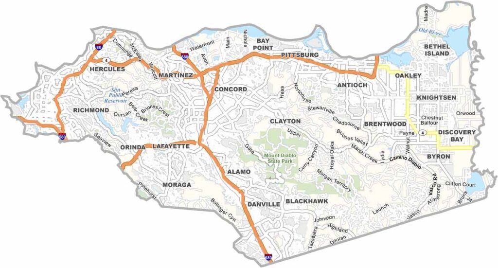
Contra Costa County is located east of San Francisco Bay and offers a mix of mountains, suburban communities, industry, and open spaces. Mount Diablo is one of the county’s most prominent landmarks, with sweeping views across the Bay Area from its summit. Richmond is known for its industrial waterfront and oil refineries, while Walnut Creek is a popular destination for shopping and dining.
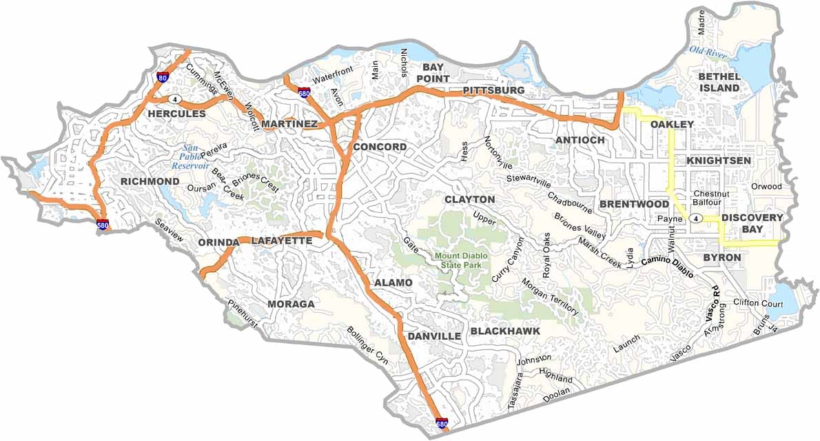
The county’s name means “opposite coast” in Spanish, reflecting its position across the bay from San Francisco. Major routes such as Interstate 680 and Highway 4 connect communities throughout the county, making it an important part of the Bay Area’s commuter network.
Contra Costa County is also well connected to the surrounding region through BART, with several stations serving local communities. Its location near San Francisco and Oakland makes it a popular home for commuters, while its combination of urban areas, mountains, and waterfront landscapes gives the county plenty of variety.
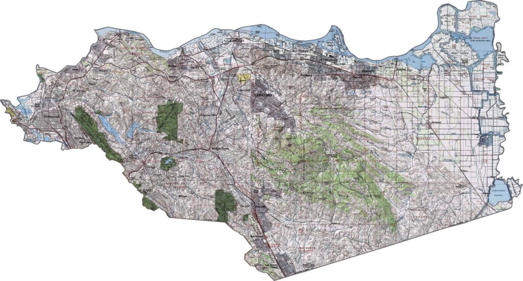
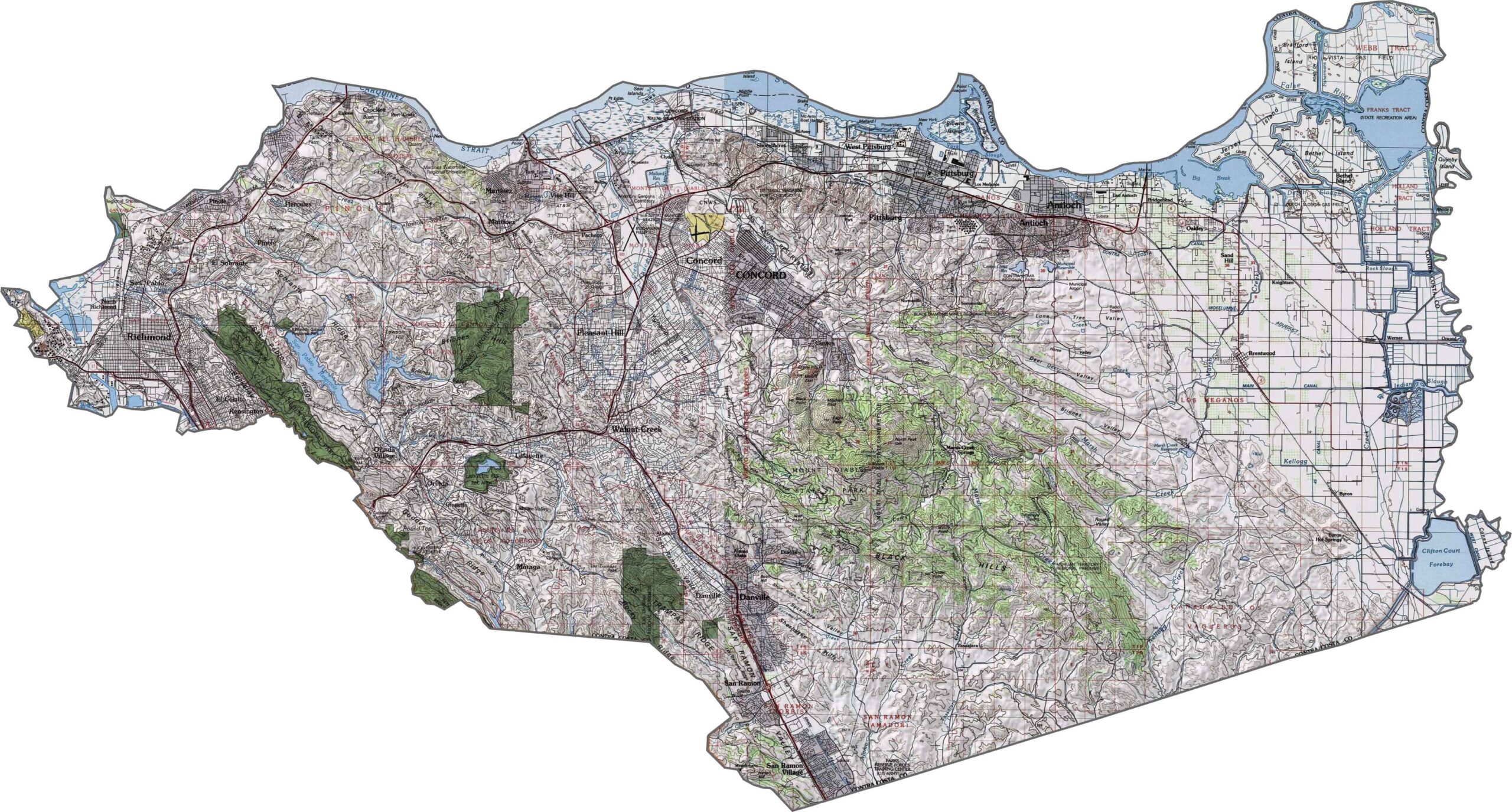
This topographic map highlights Contra Costa County’s varied terrain, from the shorelines of San Pablo and Suisun Bays to the hills and valleys surrounding Mount Diablo. The detailed contours reveal the county’s transition from low-lying waterfront areas to prominent inland elevations.
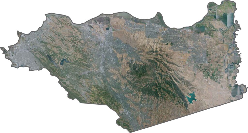
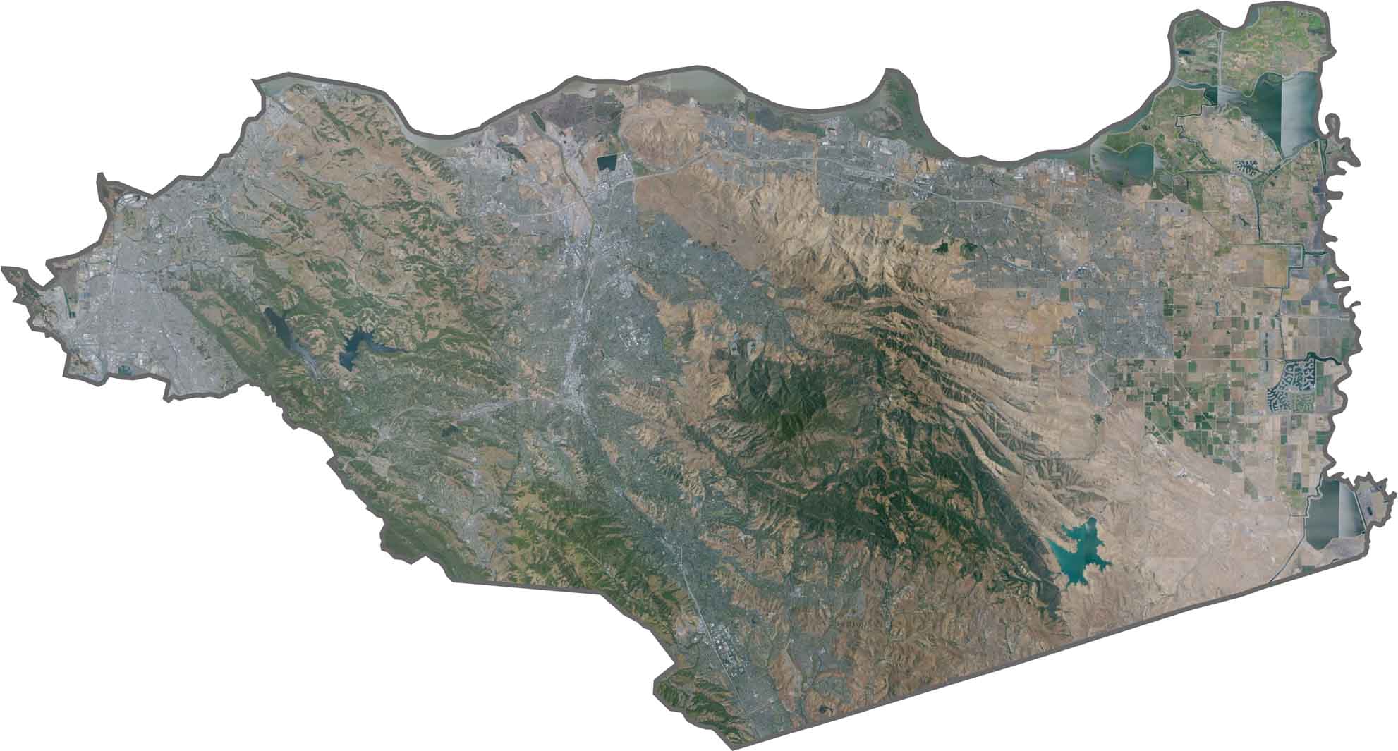
This satellite map shows an urban corridor extending along the bay shoreline, with developed areas contrasting sharply against the open landscape of Mount Diablo. The prominent mountain stands out as a major natural feature surrounded by the Bay Area’s dense development.
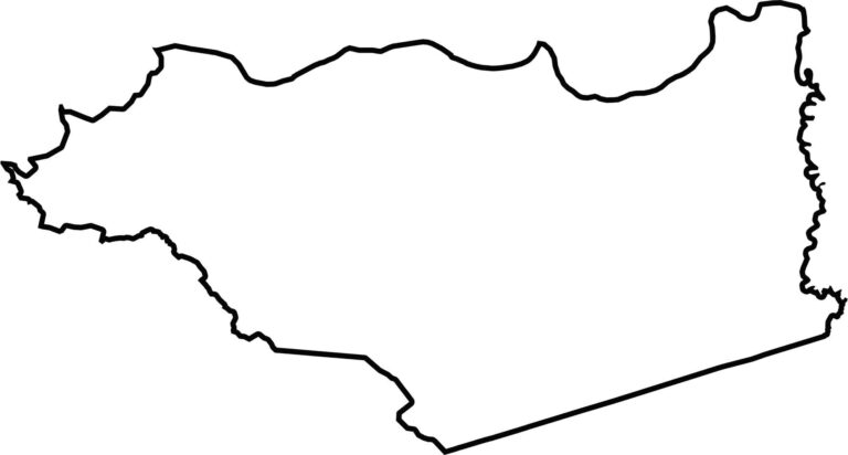
This blank map outlines Contra Costa County’s distinctive shape in the eastern San Francisco Bay Area. The northern shoreline borders San Pablo and Suisun Bays, while the simple boundary highlights the county’s mix of waterfront, valleys, and inland hills.








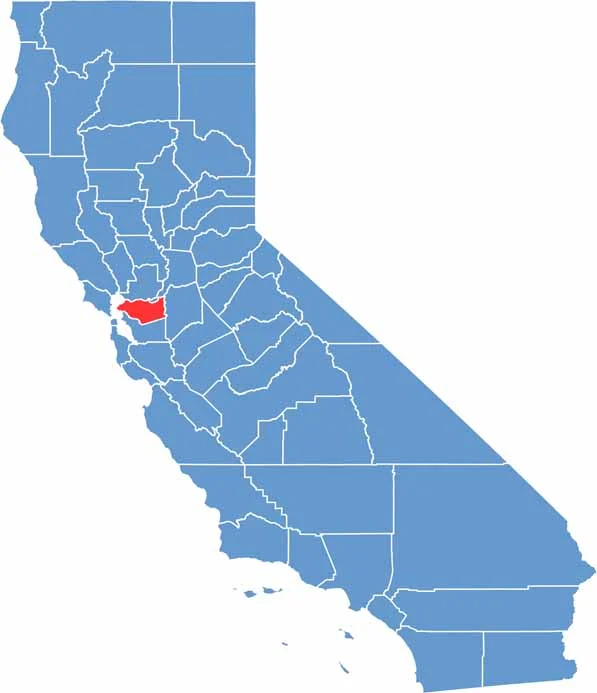
Ever wonder how California’s 58 counties are organized? Our California county map lays them all out, from the Pacific Coast to the vast desert regions. Explore the map to find the counties you know—and perhaps discover a few you don’t.