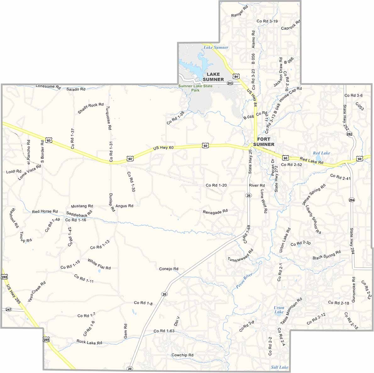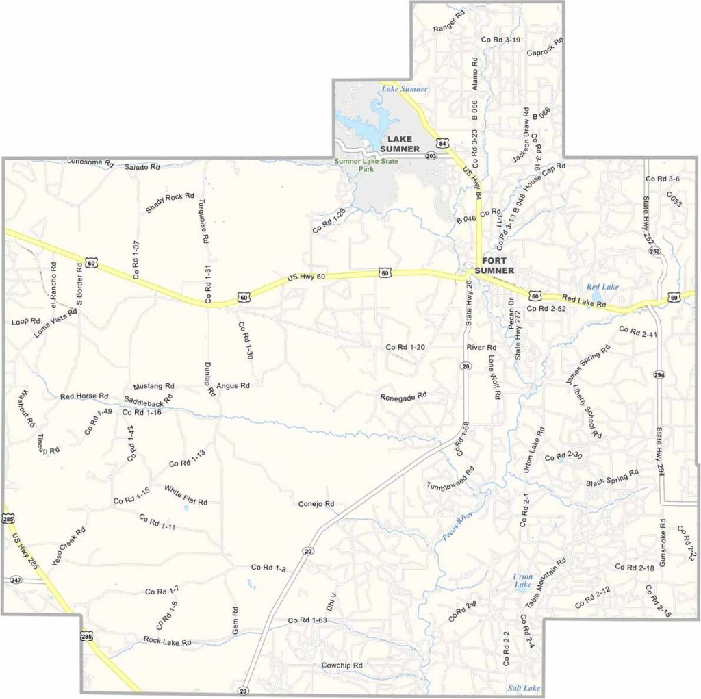
De Baca County Map, New Mexico

De Baca County, New Mexico

De Baca County sits right in the middle of eastern New Mexico, one of those places that feels lost in time. Fort Sumner, the county seat, is where Billy the Kid met his end, and you can still visit his grave.

The county is named after the state's first Hispanic governor. It's small. Real small, with fewer than 2,000 people calling it home. But what it lacks in population, it makes up for in character.

The Pecos River cuts through the county, including through Fort Sumner, and serves as a lifeline in this dry country. Fishing and boating are popular here. The people are tough, and they have to be to make it in this unforgiving land.
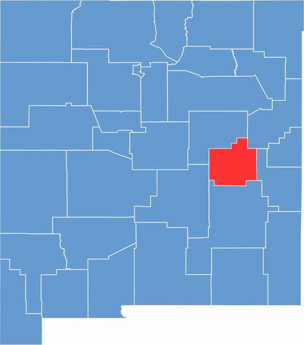

De Baca County location map of New Mexico
CategoryDetails
County NameDe Baca County
County SeatFort Sumner
EtymologyNamed after Ezequiel Cabeza De Baca, the Governor of New Mexico
Cities, Towns, and CommunitiesFort Sumner, Lake Sumner
Interstates and HighwaysU.S. Route 60, U.S. Route 84, New Mexico State Road 20
FIPS Code35-011
Total Area (Land and Water)2,334 square miles (2,322 sq mi land, 12 sq mi water)
Adjacent Counties (and Direction)Guadalupe County (North), Quay County (Northeast), Roosevelt County (East), Chaves County (South), Lincoln County (West)
Time ZoneMountain Time Zone (MT)
StateNew Mexico
Coordinates34.4133° N, 104.2425° W
Major LandmarksBilly the Kid Museum, Bosque Redondo Memorial at Fort Sumner State Monument, Sumner Lake State Park
PopulationApproximately 1,800
Scroll to Top