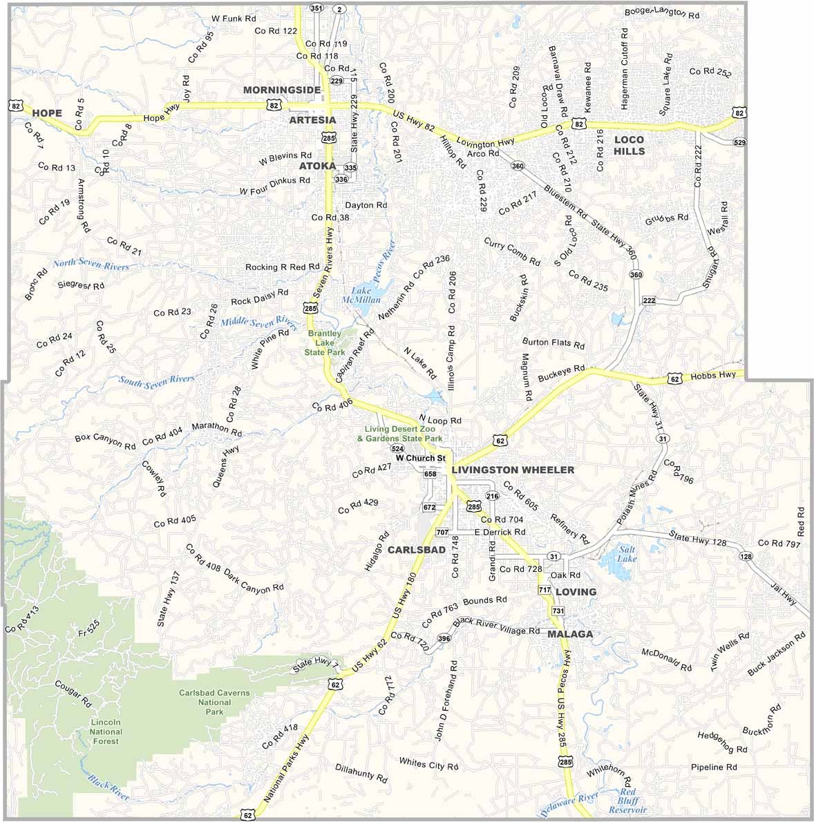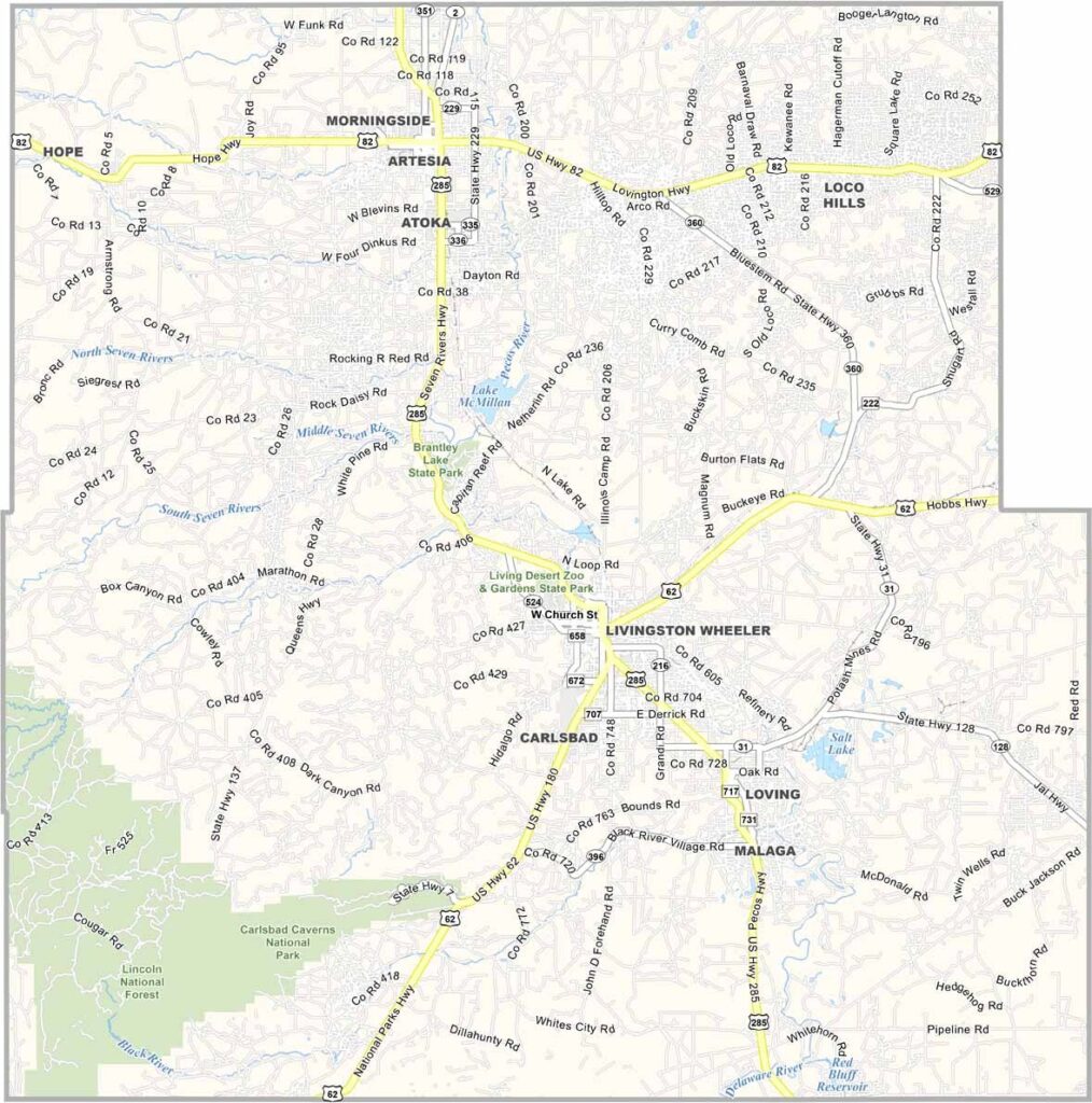
Eddy County Map, New Mexico

Eddy County, New Mexico

Southeastern New Mexico is oil country, and Eddy County is at the heart of it. Carlsbad, the county seat, is known for its caverns, underground palaces of limestone. But there's more to this place than caves and oil derricks.

The Pecos River winds through the county, an oasis in the Chihuahuan Desert. Ranching is still big here, and you'll see cowboys working cattle just like in the old days. The county's economy booms and busts with oil prices, making it a real roller coaster ride.

Summer heat shimmers off the pavement, but winters are mild. The county is named after a cattle rancher who became a big businessman, which is fitting for a place where the Old West meets the modern world.
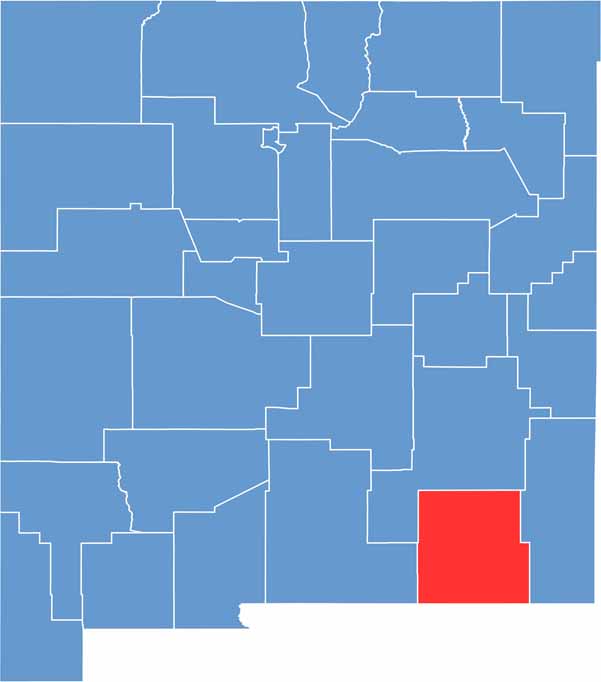

Eddy County location map of New Mexico
CategoryDetails
County NameEddy County
County SeatCarlsbad
EtymologyNamed after Charles Eddy, a local rancher and businessman
Cities, Towns, and CommunitiesCarlsbad, Artesia, Loving, Hope
Interstates and HighwaysU.S. Route 62, U.S. Route 285, New Mexico State Road 31
FIPS Code35-015
Total Area (Land and Water)4,198 square miles (4,176 sq mi land, 22 sq mi water)
Adjacent Counties (and Direction)Otero County (West), Chaves County (North), Lea County (East), Loving County, Texas (Southeast), Reeves County, Texas (South), Culberson County, Texas (South)
Time ZoneMountain Time Zone (MT)
StateNew Mexico
Coordinates32.4250° N, 104.2288° W
Major LandmarksCarlsbad Caverns National Park, Living Desert Zoo and Gardens State Park, Sitting Bull Falls
PopulationApproximately 60,000
Scroll to Top