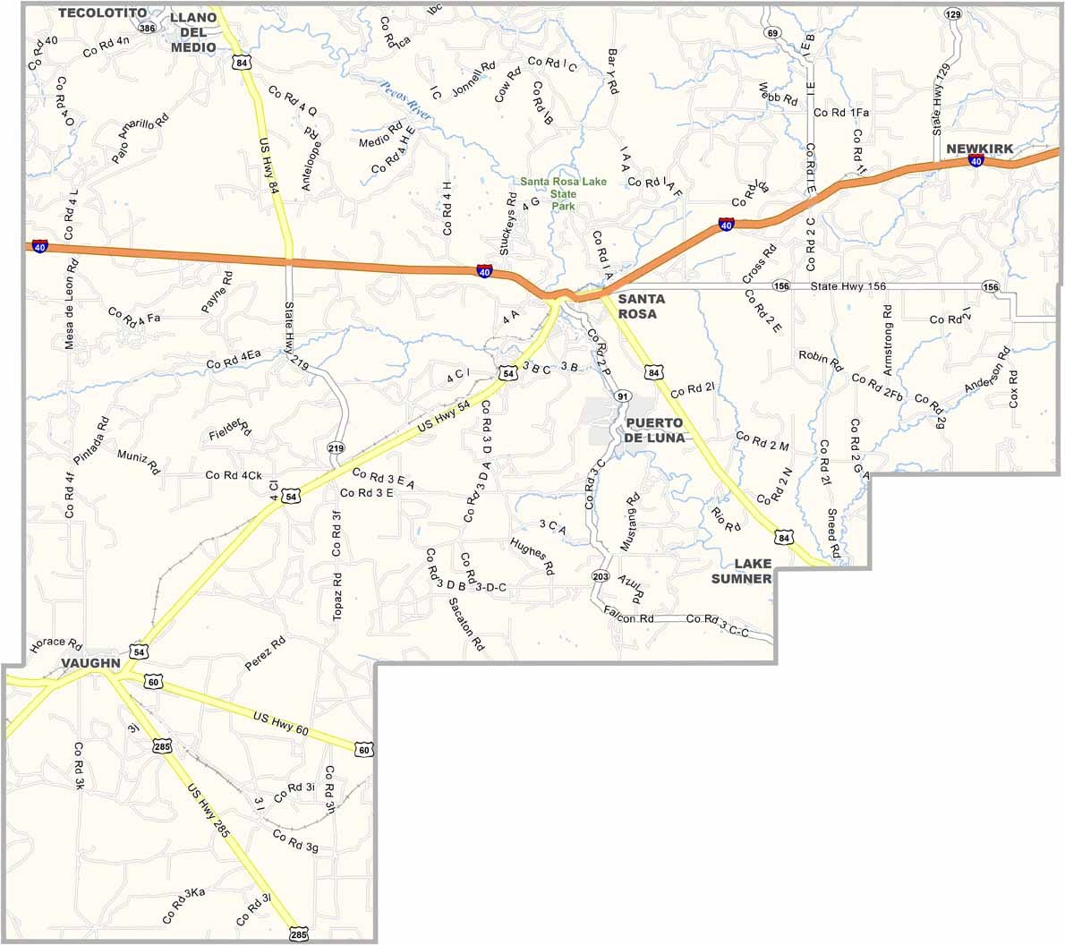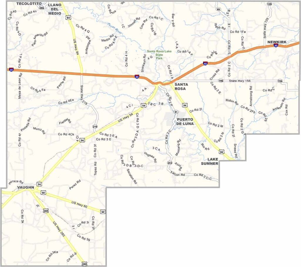
Guadalupe County Map, New Mexico

Guadalupe County, New Mexico

Guadalupe County sits right in the heart of eastern New Mexico and is named after Our Lady of Guadalupe. Santa Rosa, the county seat, is known as the "City of Natural Lakes," where crystal-clear pools appear in the middle of the desert. Weird, right?

Route 66 used to run through here, and you can still see remnants of the Mother Road. Today, Interstate 40 is the main route in and out. The Pecos River cuts through the county and is popular for fishing and rafting.

Ranching is big business, and you'll see cattle grazing on the open range. The county is small in population but has a big personality. It's not an easy place to live, but it's beautiful in its own rugged way.
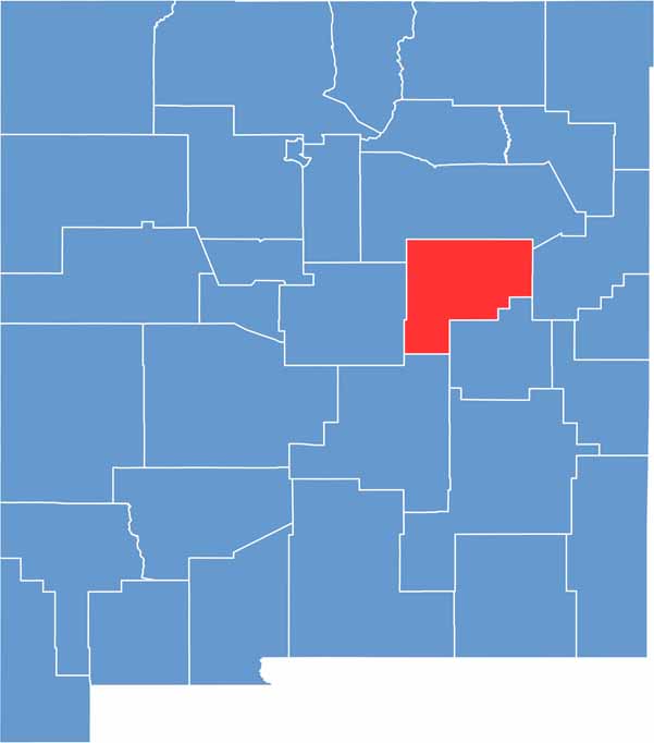

Guadalupe County location map of New Mexico
CategoryDetails
County NameGuadalupe County
County SeatSanta Rosa
EtymologyNamed after Our Lady of Guadalupe, a famous Catholic title for the Virgin Mary
Cities, Towns, and CommunitiesSanta Rosa, Vaughn, Puerto de Luna, Anton Chico
Interstates and HighwaysInterstate 40, U.S. Route 54, U.S. Route 84, New Mexico State Road 91
FIPS Code35-019
Total Area (Land and Water)3,032 square miles (3,030 sq mi land, 2 sq mi water)
Adjacent Counties (and Direction)San Miguel County (North), Quay County (East), De Baca County (South), Lincoln County (South), Torrance County (West)
Time ZoneMountain Time Zone (MT)
StateNew Mexico
Coordinates34.9376° N, 104.6459° W
Major LandmarksBlue Hole (Santa Rosa), Santa Rosa Lake State Park, Route 66 Auto Museum
PopulationApproximately 4,300
Scroll to Top