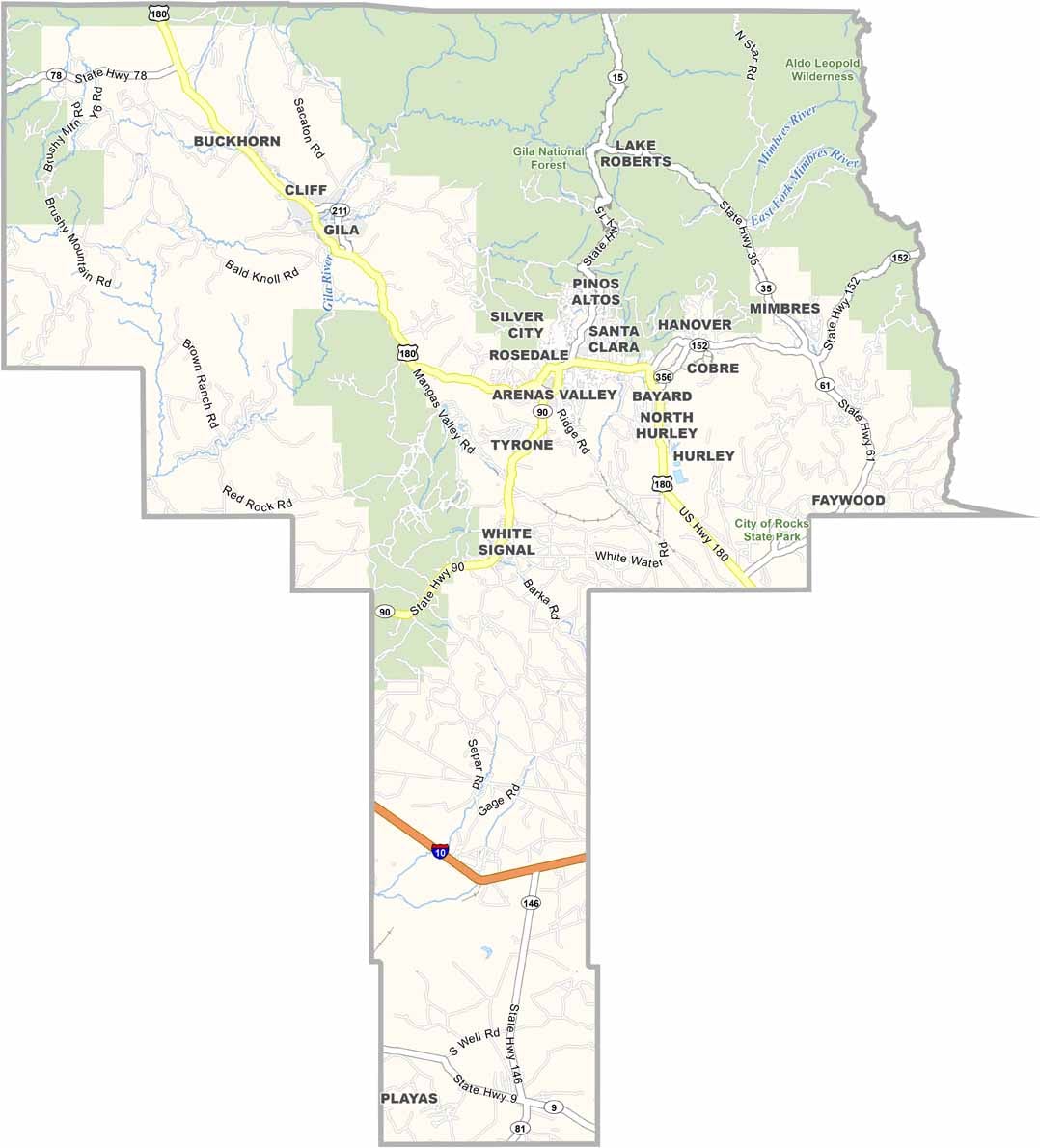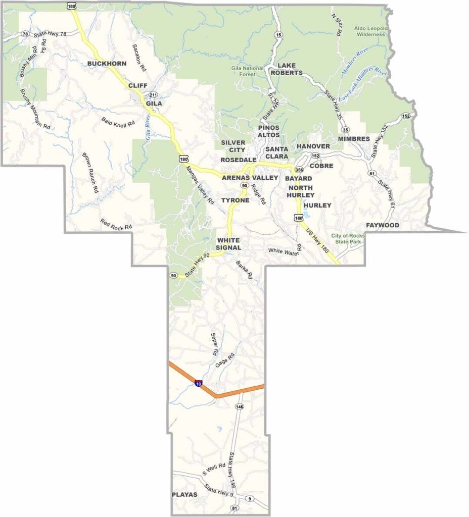
Grant County Map, New Mexico

Grant County, New Mexico

Grant County lies in southwestern New Mexico, bordering Arizona, and has a rich mining history. Silver City, the county seat, was once a boomtown and is now an artsy community with a quirky vibe.

The Gila National Forest covers a big chunk of the county's northern region and is great for hiking, camping, and wildlife watching. The Gila Cliff Dwellings highlight the ancient Mogollon culture, and visiting them feels like stepping back in time.

The landscape is diverse, ranging from high mountains to desert lowlands. The people are a mix of old-timers and newcomers, friendly and fiercely independent. Once you visit, you might never want to leave.
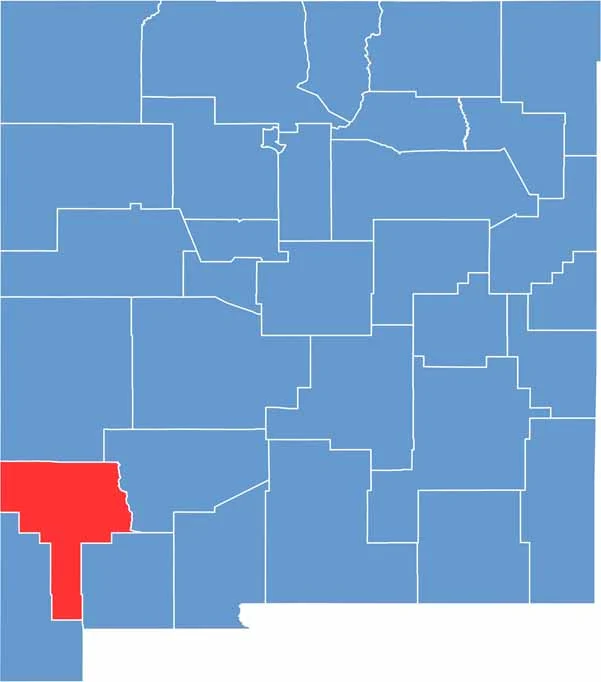

Grant County location map of New Mexico
CategoryDetails
County NameGrant County
County SeatSilver City
EtymologyNamed after Ulysses S. Grant, 18th President of the United States
Cities, Towns, and CommunitiesSilver City, Bayard, Hurley, Santa Clara, Cliff, Pinos Altos
Interstates and HighwaysU.S. Route 180, New Mexico State Road 90, New Mexico State Road 152
FIPS Code35-017
Total Area (Land and Water)3,968 square miles (3,962 sq mi land, 6 sq mi water)
Adjacent Counties (and Direction)Catron County (North), Sierra County (East), Luna County (Southeast), Hidalgo County (South), Greenlee County, Arizona (West)
Time ZoneMountain Time Zone (MT)
StateNew Mexico
Coordinates32.8056° N, 108.2670° W
Major LandmarksGila Cliff Dwellings National Monument, Gila National Forest, City of Rocks State Park
PopulationApproximately 26,000
Scroll to Top