
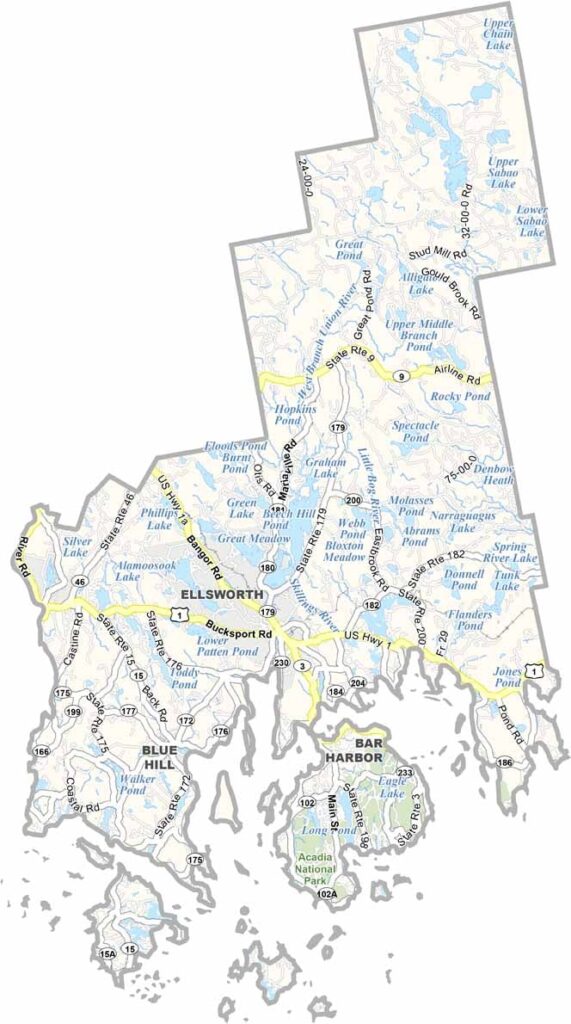
Hancock County sits along the rocky coast of eastern Maine, right on the Atlantic’s rugged shoreline. Acadia National Park is a crown jewel of the area, offering spectacular views and plenty of outdoor adventures.
Lobster is king here. From Ellsworth to Bar Harbor, you’ll find some of the best seafood spots in the state. The coastal scenery only makes the experience better.
The county is named after John Hancock, but its character is all its own. If you’re lucky, you might spot a moose or two while hiking around Cadillac Mountain. Always keep an eye out.
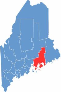
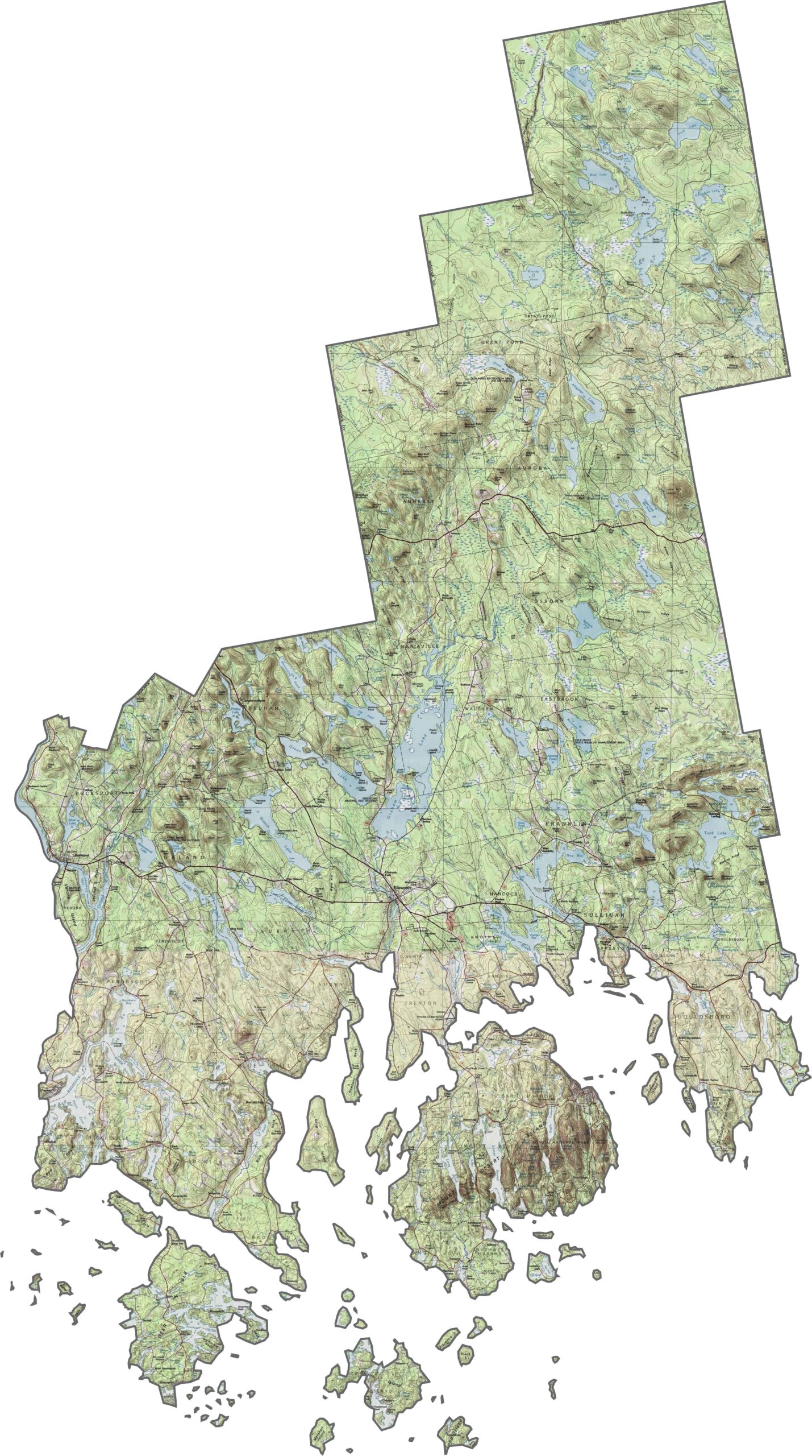
Hancock County features a mix of rugged coastlines and forested hills. While the shoreline is often rocky and uneven, the inland terrain slopes gently. Mountains rise especially in the northwest, though much of the county remains low and rolling. Explore the elevation changes with our interactive zoom tool.
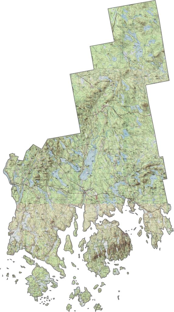
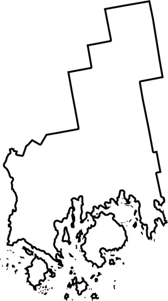
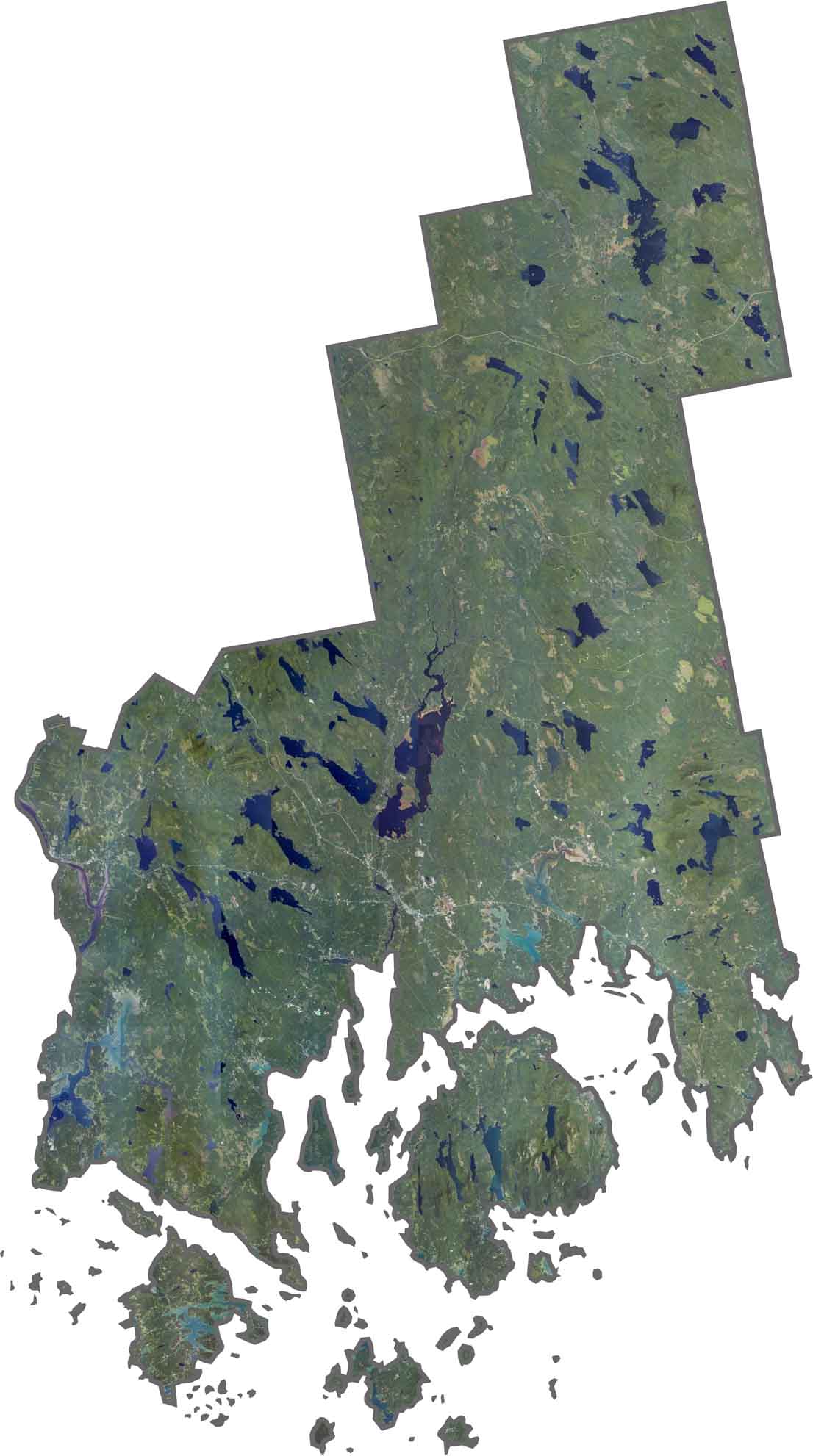
The jagged coastline immediately stands out from above. Deep bays and peninsulas extend into the ocean. Inland, dense forests cover the landscape, with scattered lakes throughout. Small coastal towns cluster around the harbors.
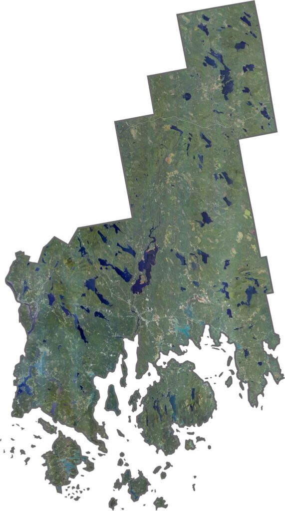
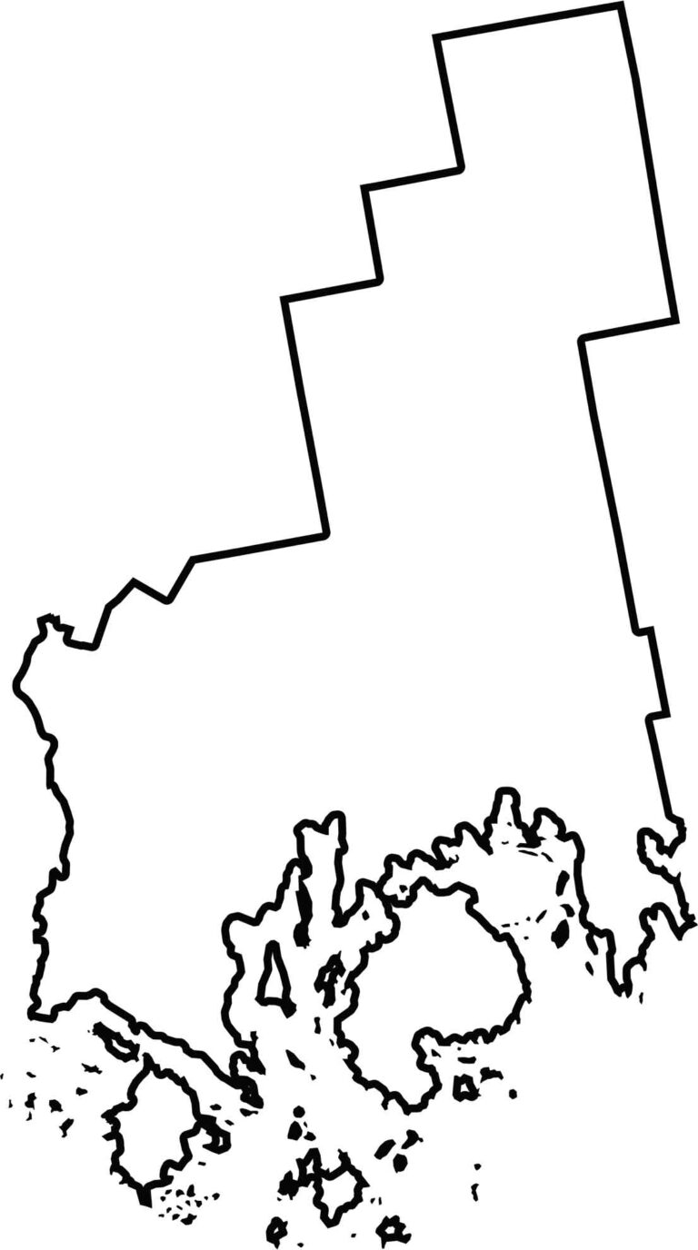
The county has an irregular shape that stretches far to the northeast. The Penobscot River forms part of its western border. It also borders the Atlantic Ocean to the south and Washington County to the east.
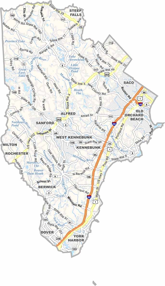
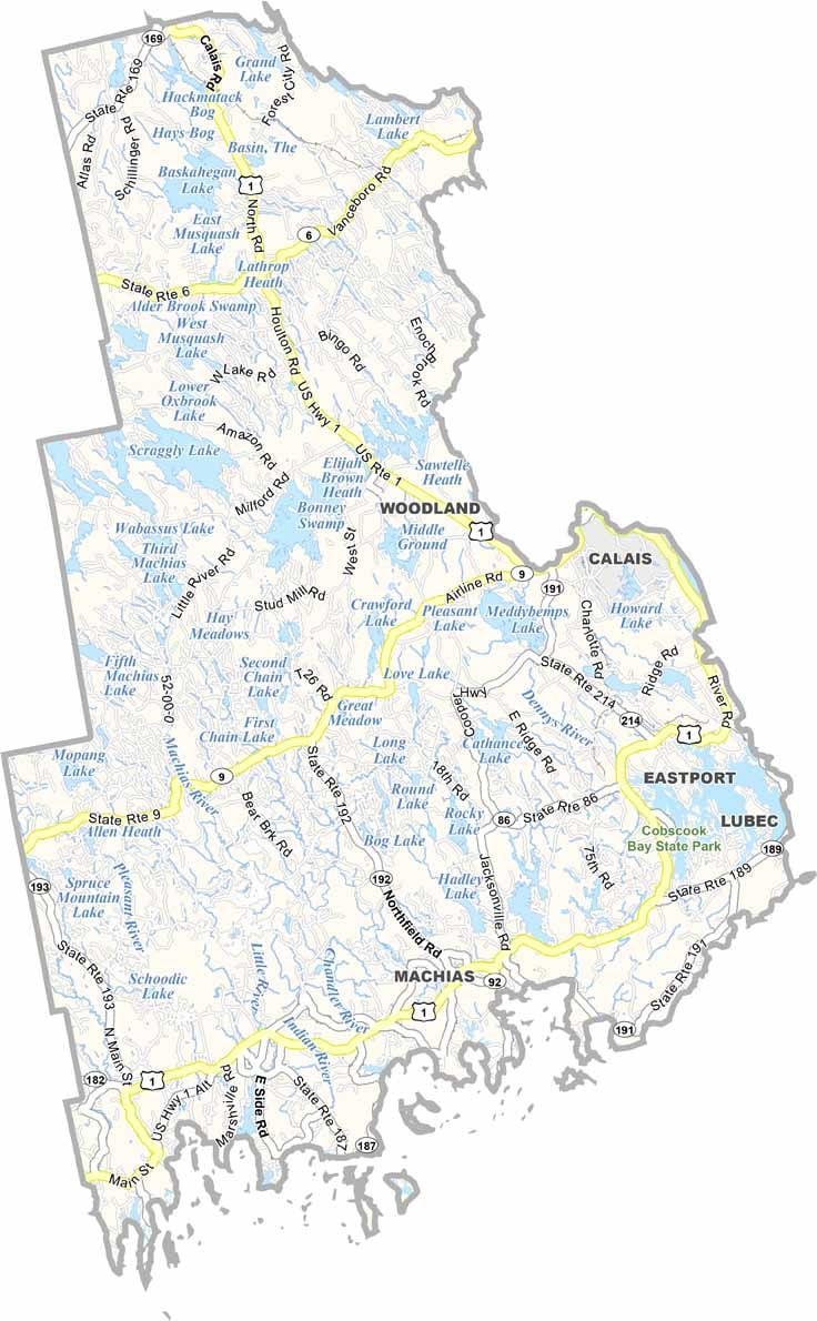
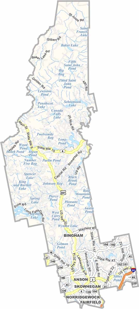
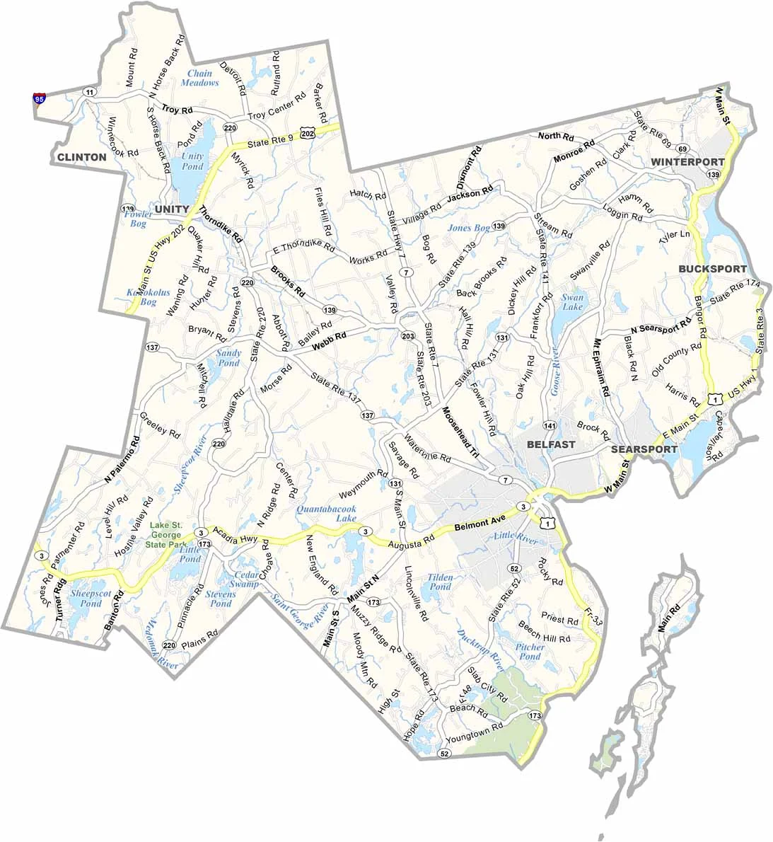
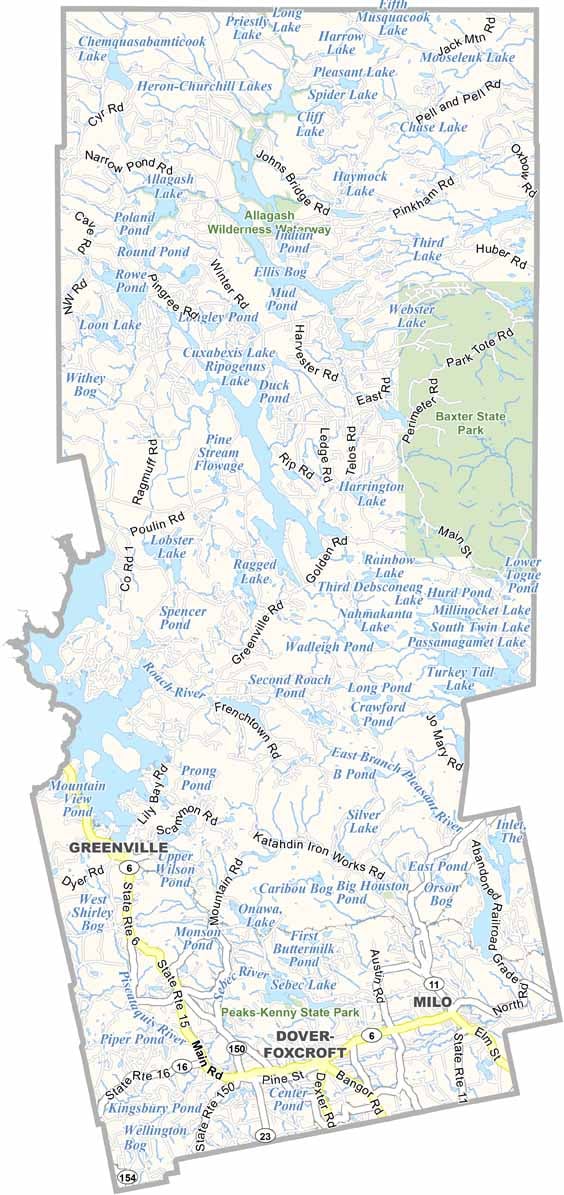
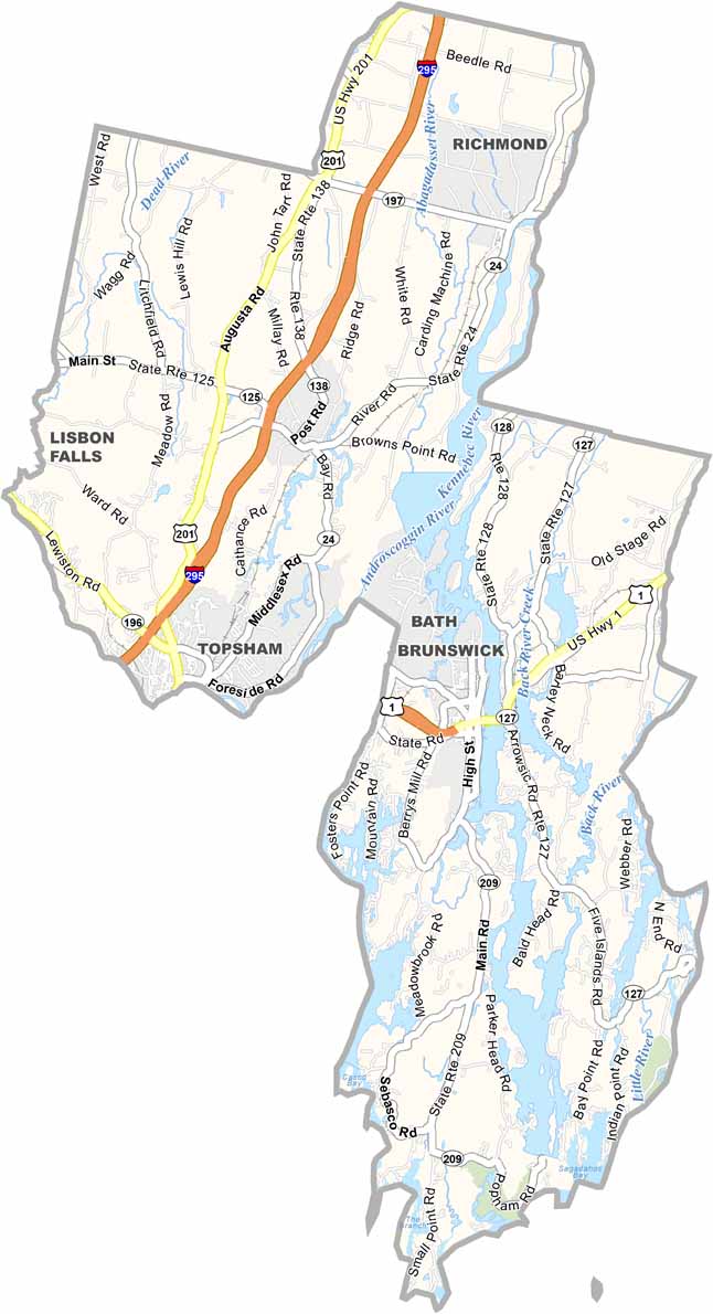
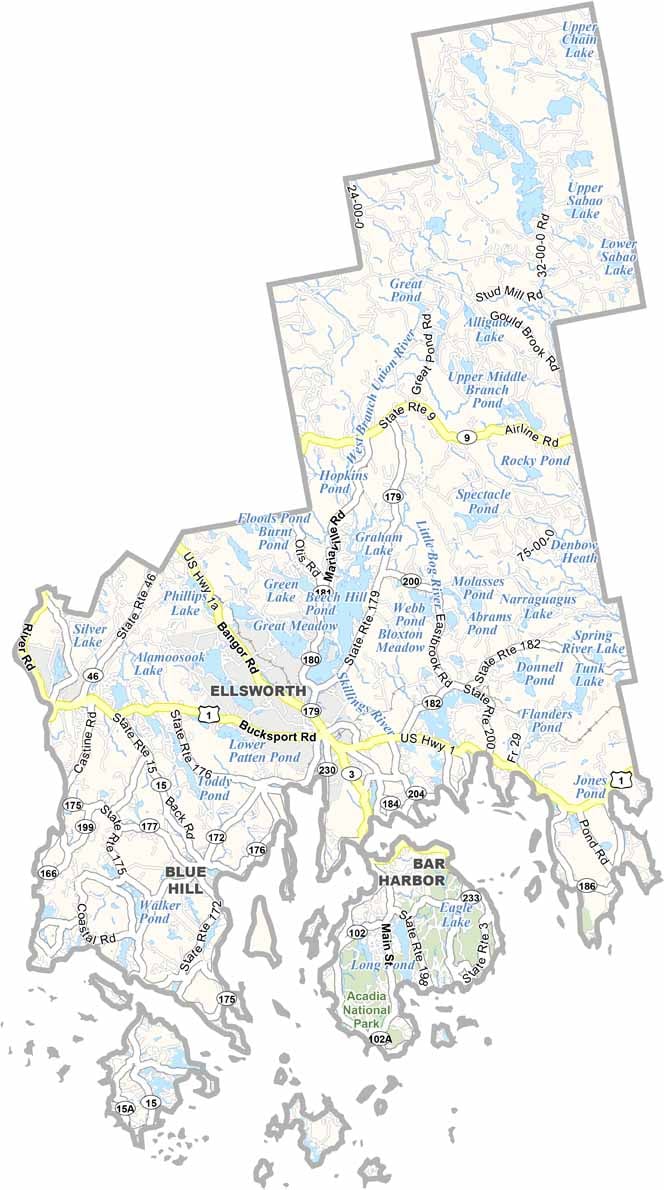
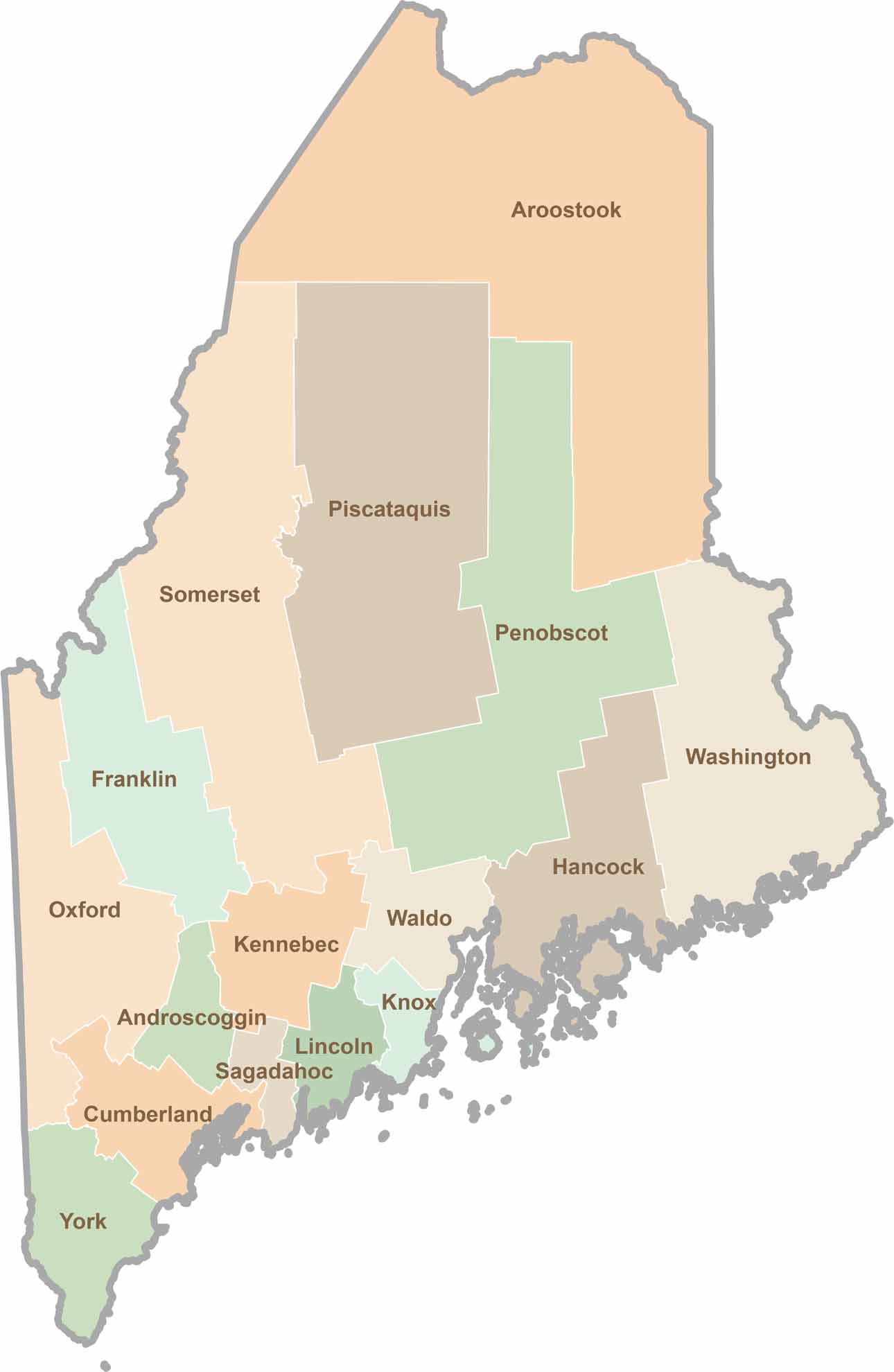
Life moves at the pace of the tides here. One day might be spent hiking forest trails, and the next watching fog roll over quiet harbors. Discover what makes each county special with our Maine county maps.