
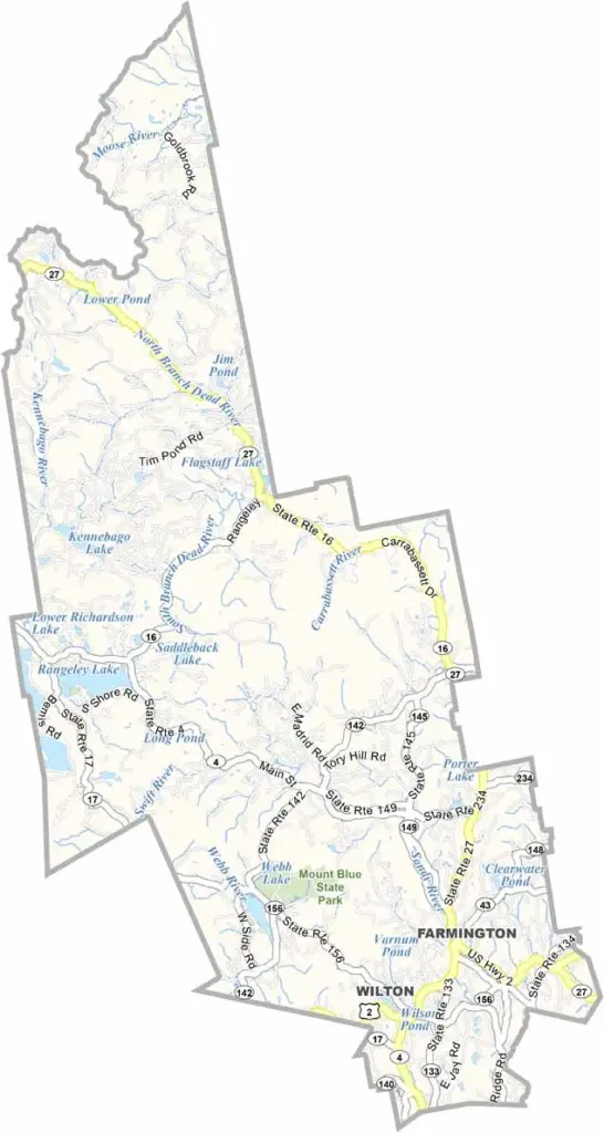
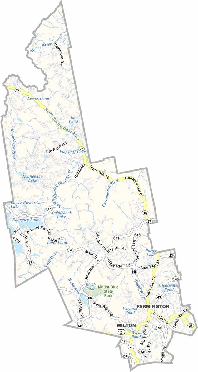
Franklin County is located in western Maine, stretching across the rugged Appalachian Mountains. Farmington is the county seat, bringing plenty of small-town charm and a lively arts scene.
You’ll find some of the state’s best skiing at Sugarloaf Mountain. Summers are a dream, with pristine lakes and winding rivers that are perfect for swimming, fishing, and kayaking. And the fall foliage? Absolutely breathtaking.
But it’s not all about the outdoors. The region has a rich history, from early Native American settlements to Chester Greenwood, the inventor of earmuffs. Yep, earmuffs.
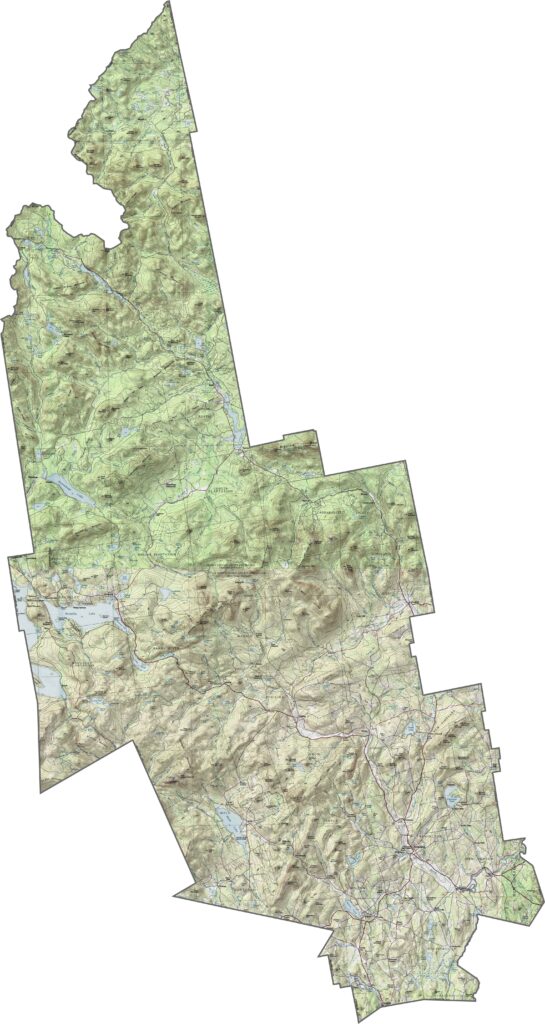
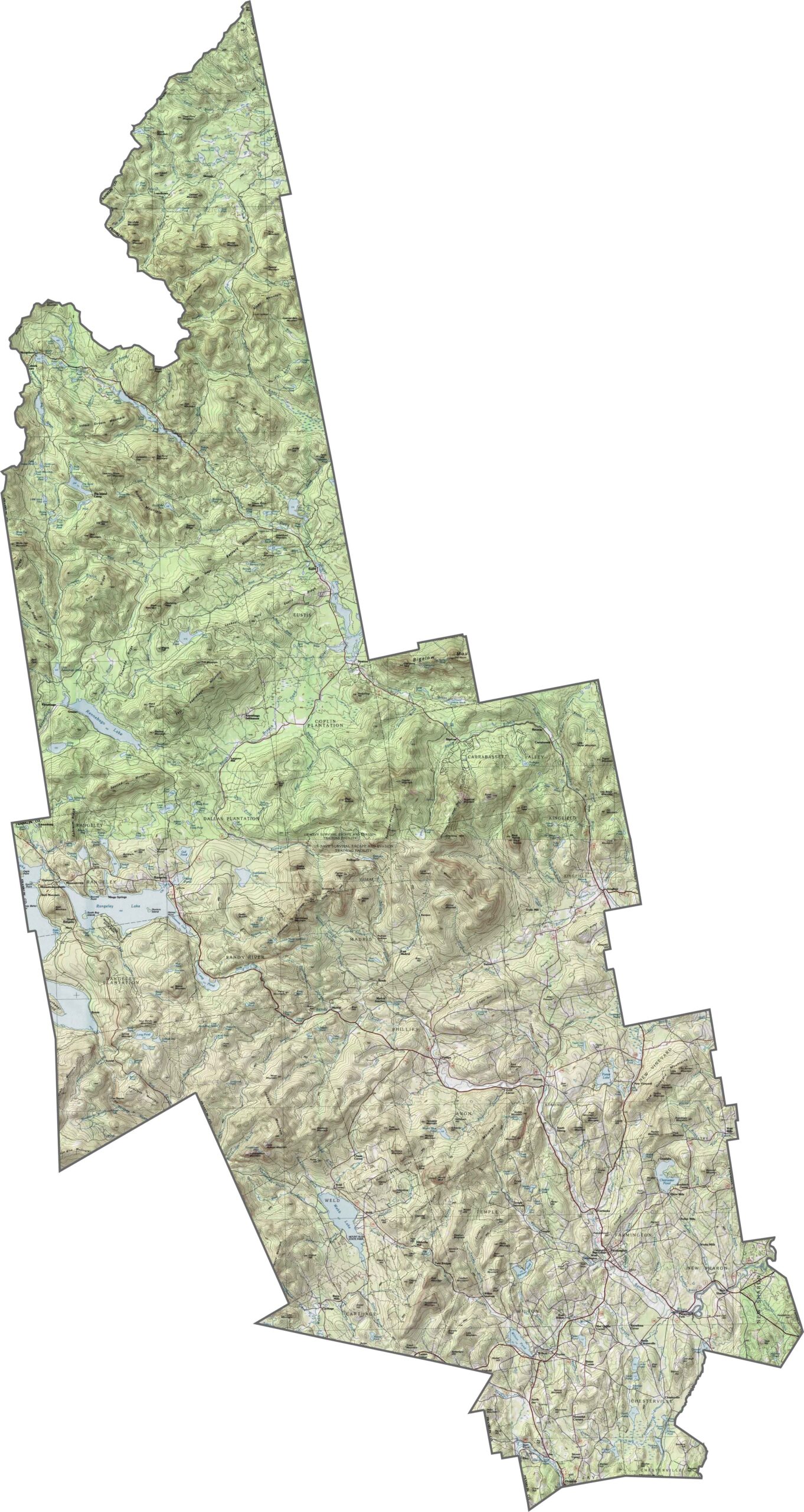
Franklin County is rugged, with mountains especially prominent in the west. Even in the lower areas, the ground is rarely completely flat. Rocks and ridges rise unexpectedly between stretches of forest. See the dramatic terrain changes with our zoom feature.
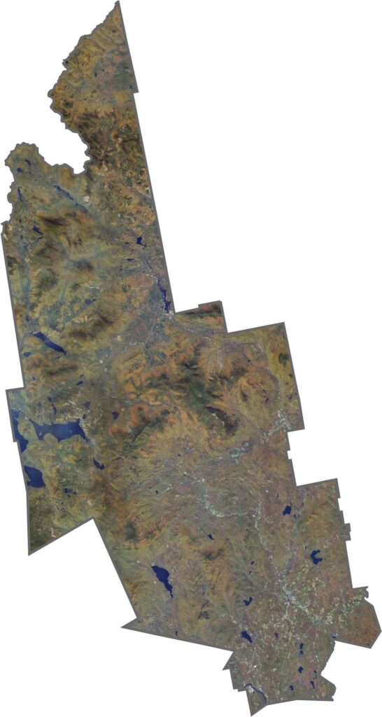
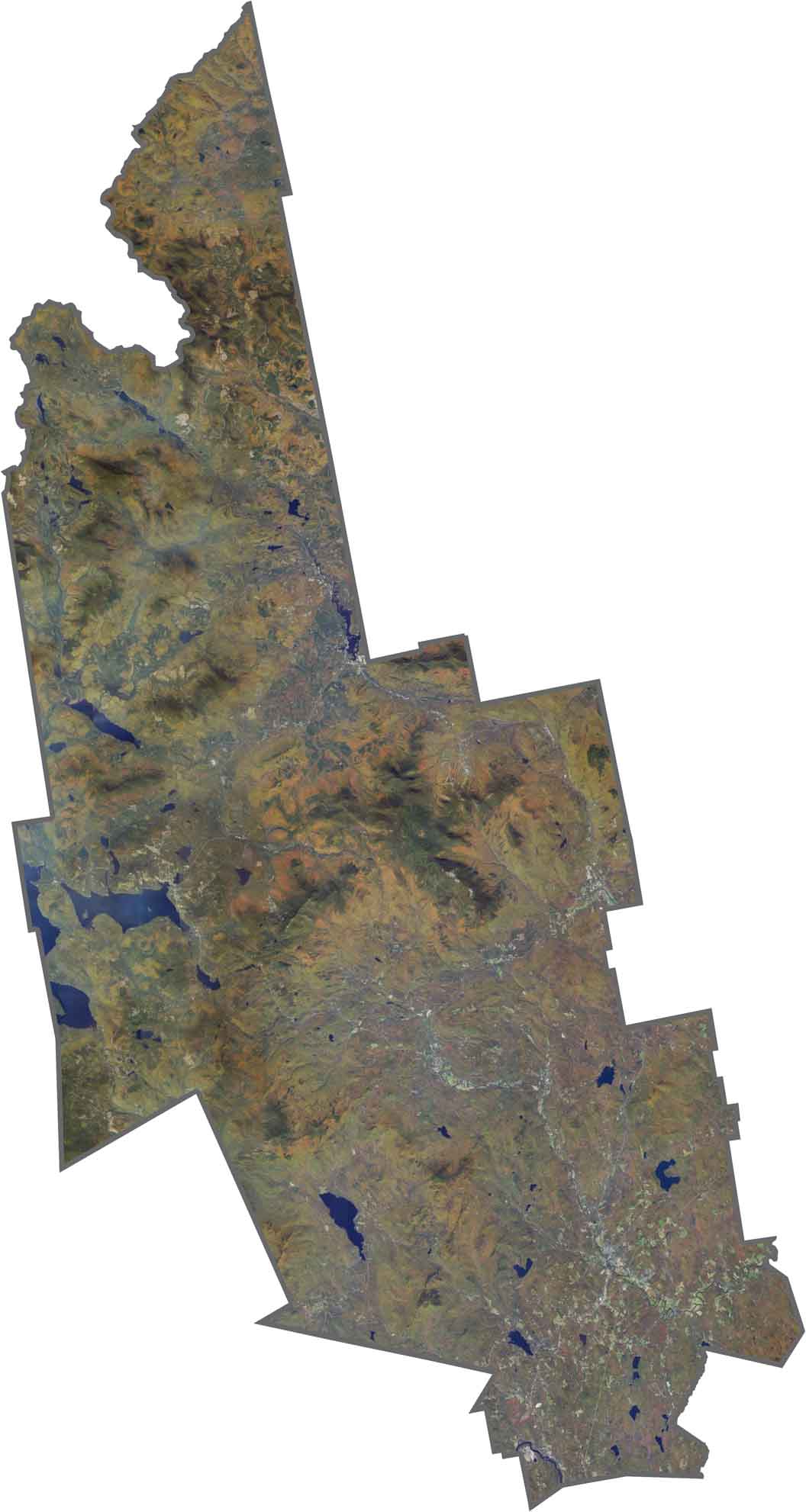
From above, you can see everything from mountains to lakes and ponds. Narrow roads follow rivers and wind along the edges of steep slopes. Farmland is scarce, though small clearings appear around towns.
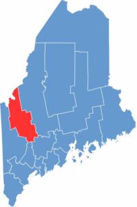
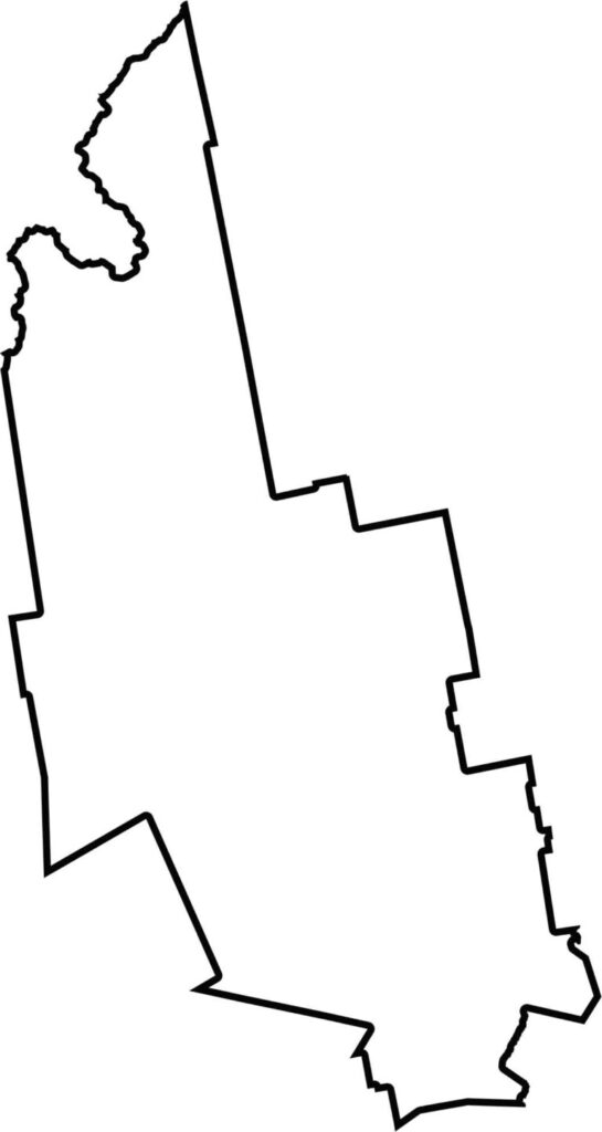
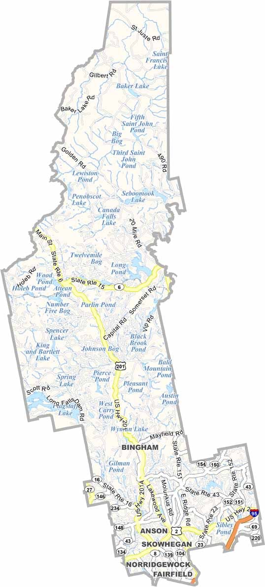
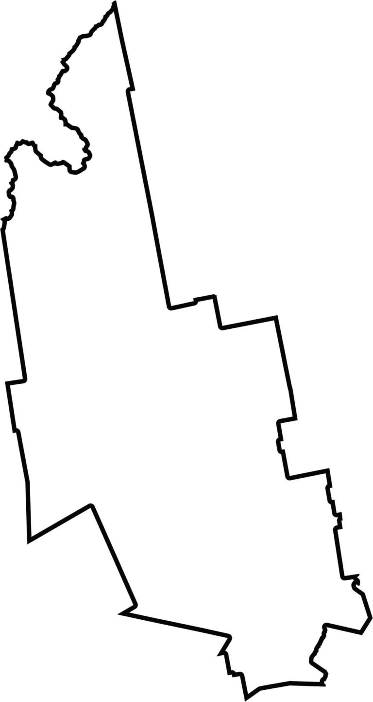
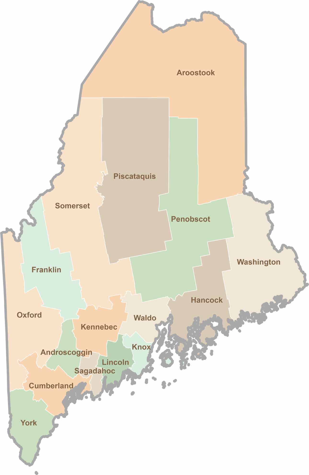
The county is roughly rectangular but narrows inward near the north. Franklin County borders Canada to the northwest, while Oxford, Kennebec, and Somerset Counties surround it.
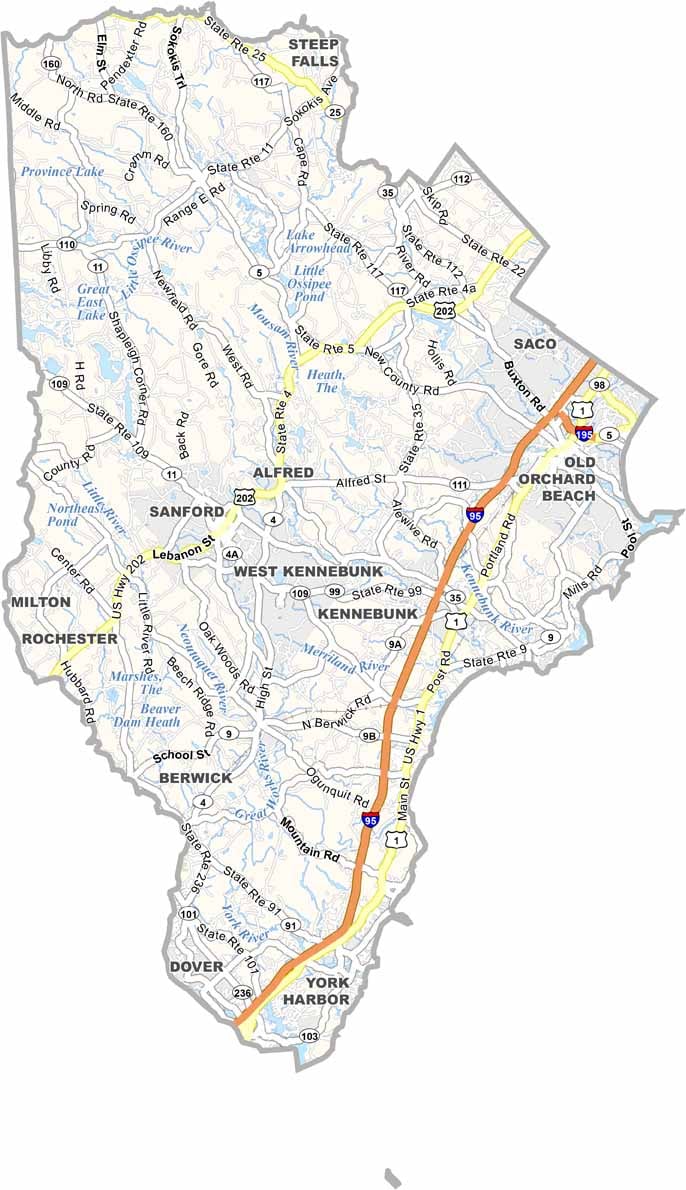
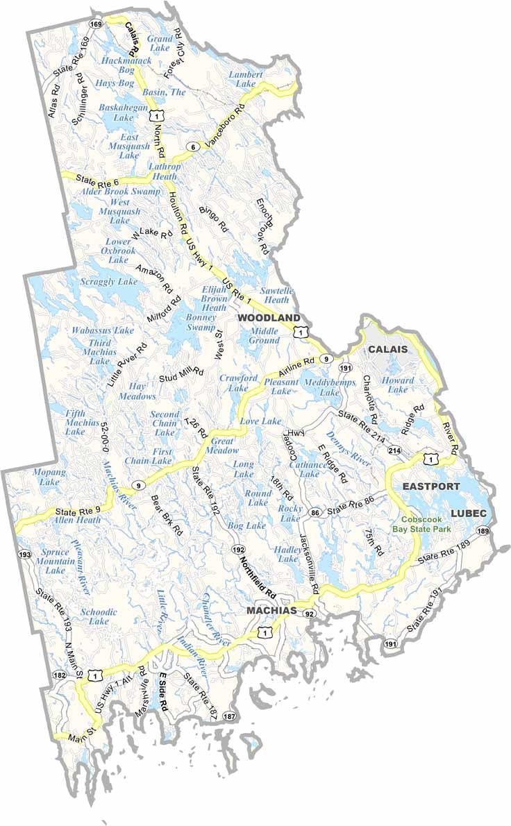
Life moves at the pace of the tides here. One day might be spent hiking forest trails, and the next watching fog roll over quiet harbors. Discover what makes each county special with our Maine county maps.