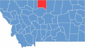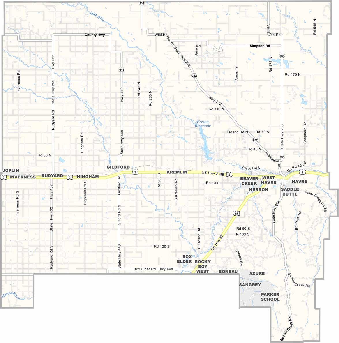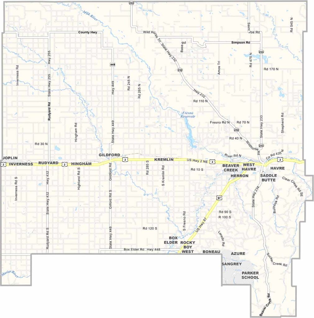
Hill County sits just south of the Canadian border in northern Montana. It’s where the Bears Paw Mountains rise from the plains in the southeastern part of the county.
Havre is the county seat and a railroad town with a wild history hidden beneath its streets. Literally. The Havre Beneath the Streets tour takes visitors through underground tunnels that once housed opium dens. Pretty wild, right?
The Rocky Boy’s Indian Reservation, home to the Chippewa Cree Tribe, adds a rich cultural layer to the county. Visitors also come to Beaver Creek Park, the largest county park in the entire country. Don’t let the wide-open spaces fool you. There’s more happening here than meets the eye.