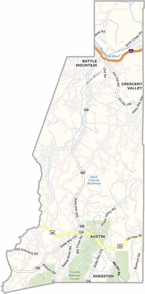
Lander County Map, Nevada

Lander County, Nevada

Lander County sits right in the heart of Nevada, a place where the Old West still lives and breathes. Battle Mountain, the county seat, is a town with more character than size. This is big sky country, where the horizon seems to stretch on forever.

Mining has been the backbone of the economy for over a century, and gold and copper are still being pulled from the earth. The Shoshone Indians called this land home long before prospectors arrived, and their influence can still be felt.

You won't find any fancy resorts here, but you will find genuine small-town hospitality. Visitors head to the Toiyabe Range for hiking and camping, far from the tourist crowds. Despite its remote location, Lander County hosts the quirky World Human Powered Speed Challenge each year, drawing cyclists from around the globe.
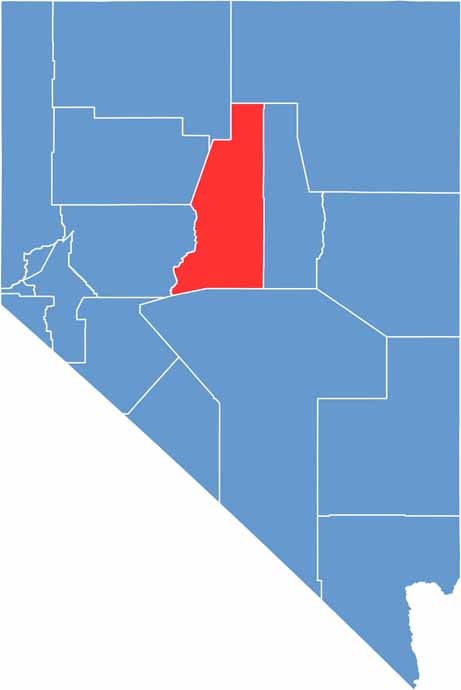
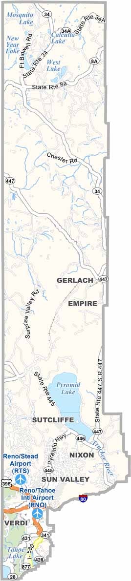
Lander County location map of Nevada
CategoryDetails
County NameLander County
County SeatBattle Mountain
EtymologyNamed after Frederick W. Lander, a Civil War general and engineer
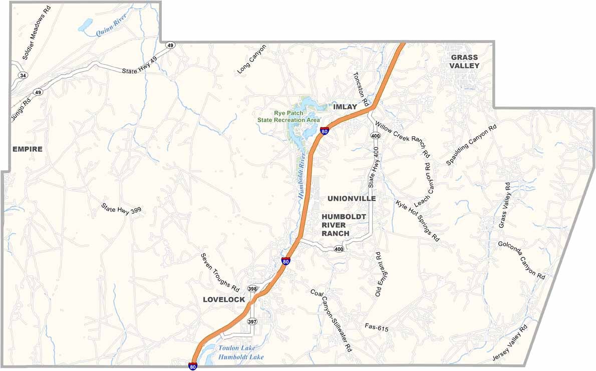
Cities, Towns, and CommunitiesBattle Mountain, Austin, Kingston
Interstates and HighwaysInterstate 80, U.S. Highway 50, Nevada State Route 305
FIPS Code32-015
Total Area (Land and Water)5,519 square miles (5,490 sq mi land, 29 sq mi water)
Adjacent Counties (and Direction)Elko County (North), Eureka County (East), Nye County (South), Churchill County (West), Pershing County (West), Humboldt County (Northwest)
Time ZonePacific Time Zone (PT)
StateNevada
Coordinates39.1012° N, 117.0664° W
Major LandmarksHickison Petroglyph Recreation Area, Battle Mountain Cookhouse Museum
PopulationApproximately 6,200
Scroll to Top