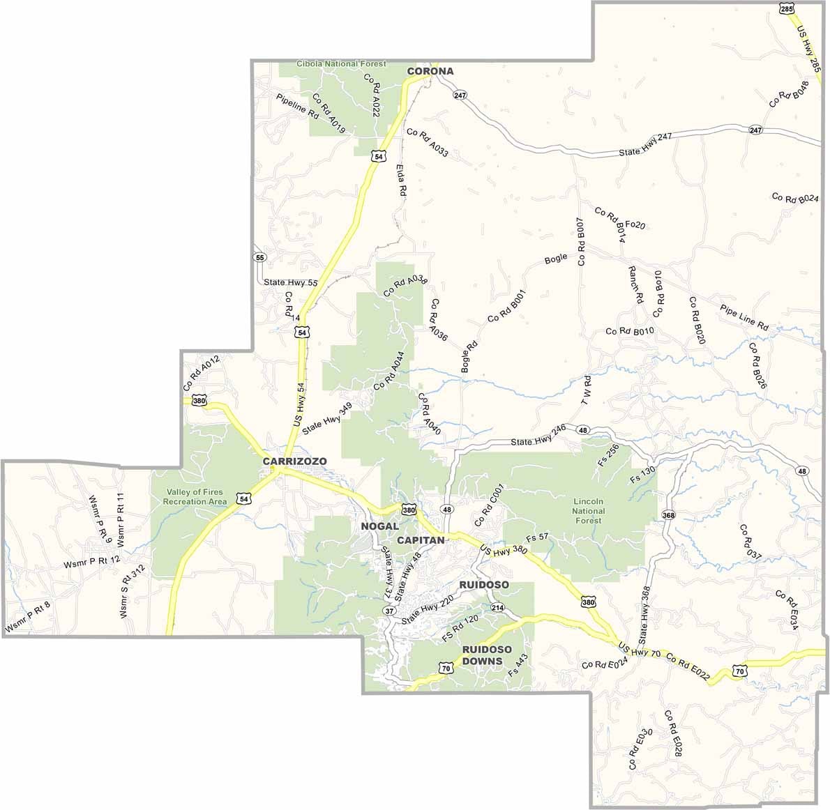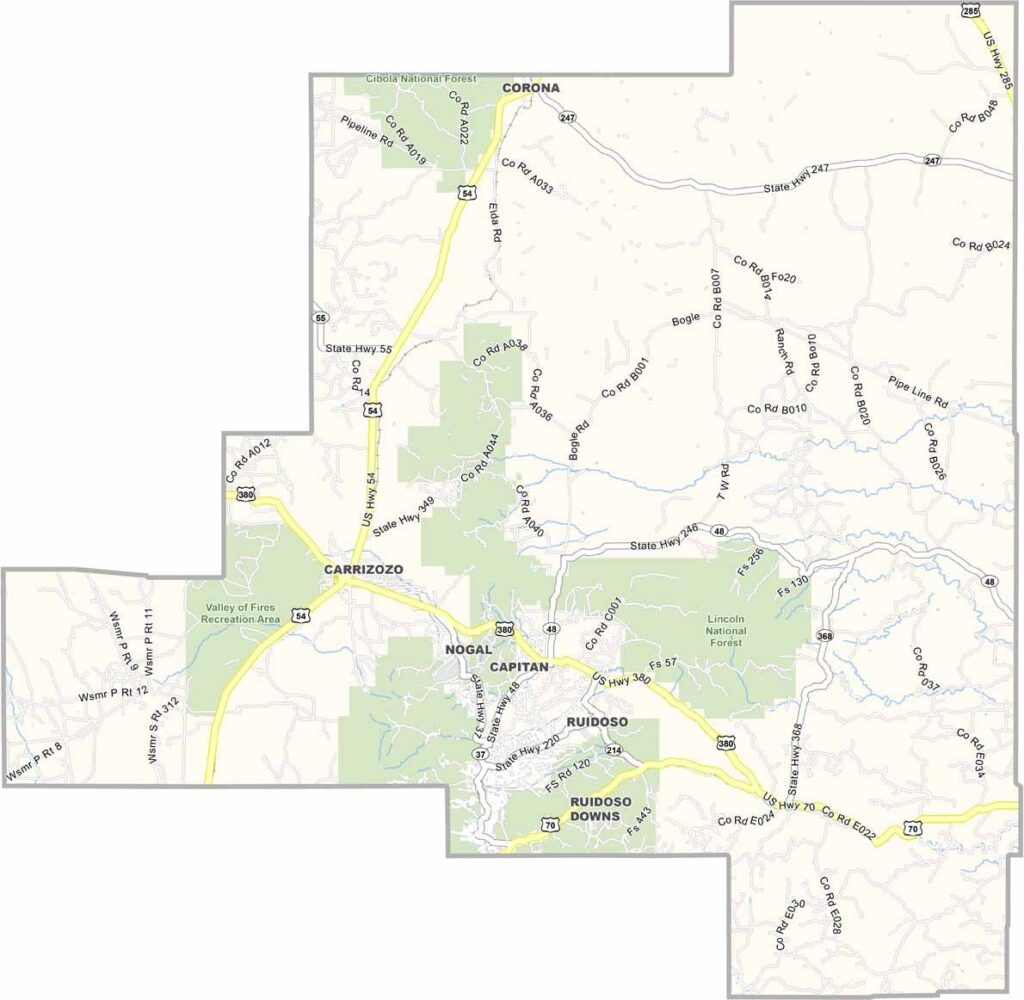
Lincoln County Map, New Mexico

Lincoln County, New Mexico

Lincoln County sits in the middle of southern New Mexico. This is Billy the Kid country, where the famous Lincoln County War happened. You can still visit the courthouse where the Kid made his legendary escape.

The landscape is diverse, ranging from the Sacramento Mountains to the Chihuahuan Desert. Ruidoso, a popular resort town up in the mountains, offers a nice break from the desert heat.

Visitors can come for skiing in the winter and horse racing in the summer. The county is named after Honest Abe, the 16th President of the United States.
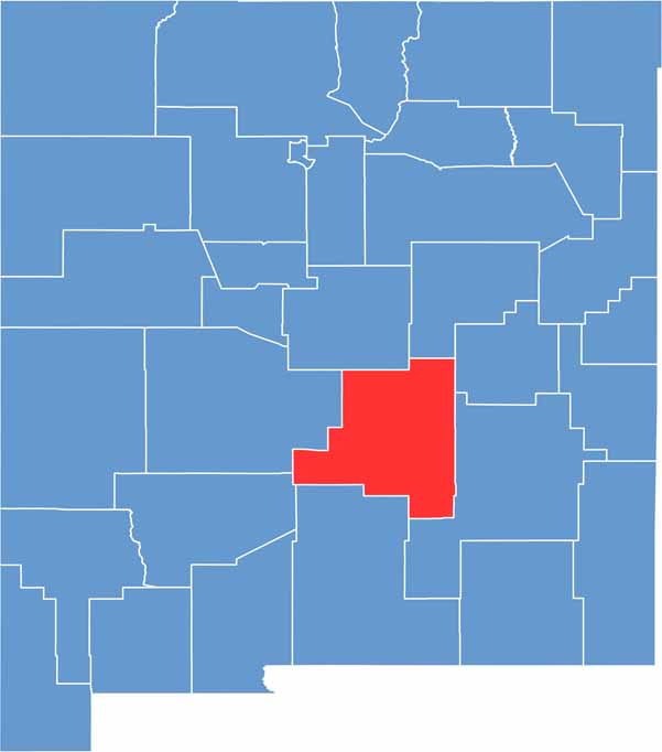

Lincoln County location map of New Mexico
CategoryDetails
County NameLincoln County
County SeatCarrizozo
EtymologyNamed after Abraham Lincoln, 16th President of the United States
Cities, Towns, and CommunitiesRuidoso, Carrizozo, Capitan, Hondo, Ruidoso Downs
Interstates and HighwaysU.S. Route 70, U.S. Route 380, New Mexico State Road 48
FIPS Code35-027
Total Area (Land and Water)4,831 square miles (4,828 sq mi land, 3 sq mi water)
Adjacent Counties (and Direction)Torrance County (North), Guadalupe County (North), De Baca County (Northeast), Chaves County (East), Otero County (South), Sierra County (Southwest), Socorro County (West)
Time ZoneMountain Time Zone (MT)
StateNew Mexico
Coordinates33.7454° N, 105.4794° W
Major LandmarksLincoln Historic Site, Ruidoso Downs Race Track, Smokey Bear Historical Park, Ski Apache
PopulationApproximately 19,000
Scroll to Top