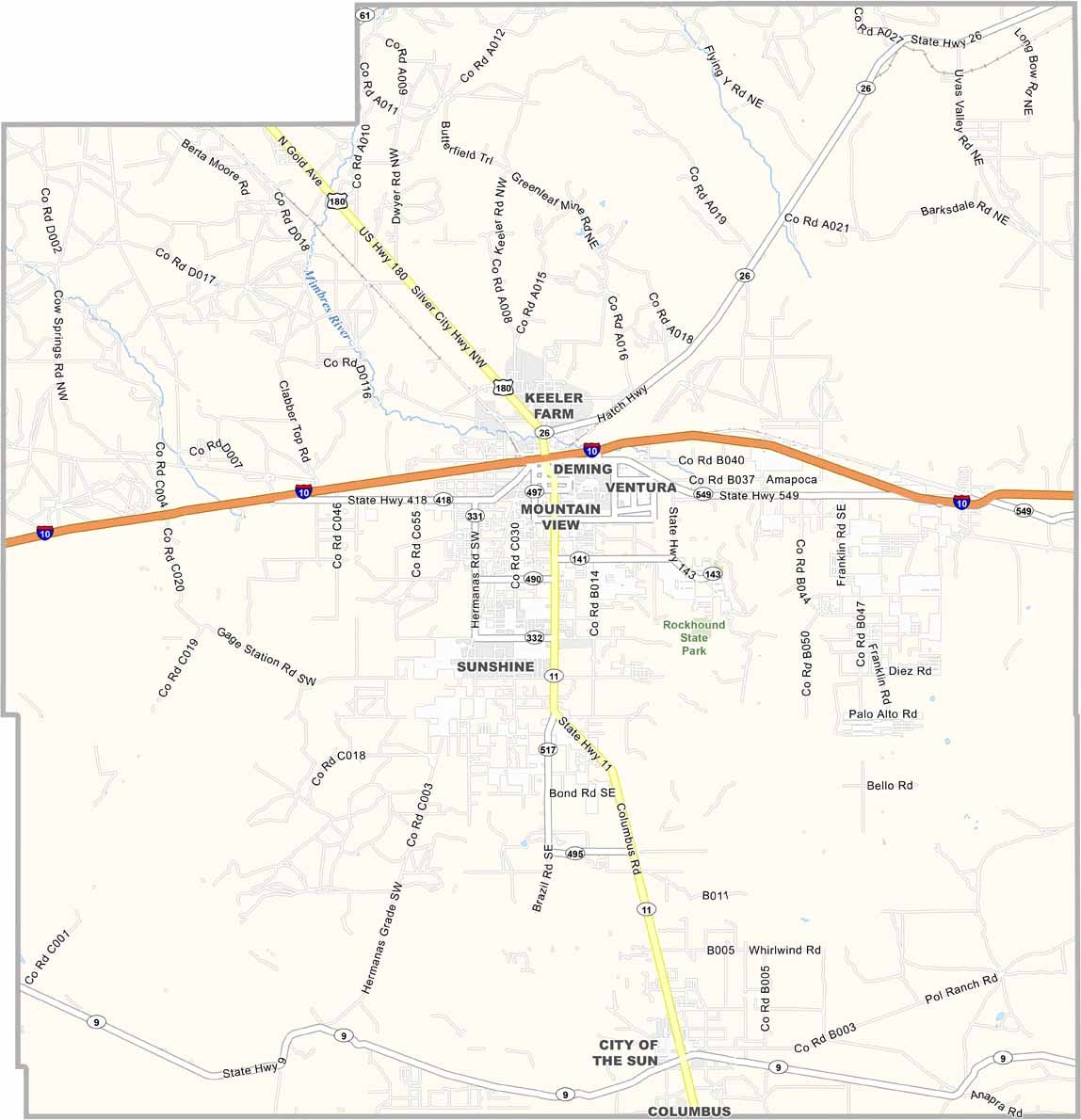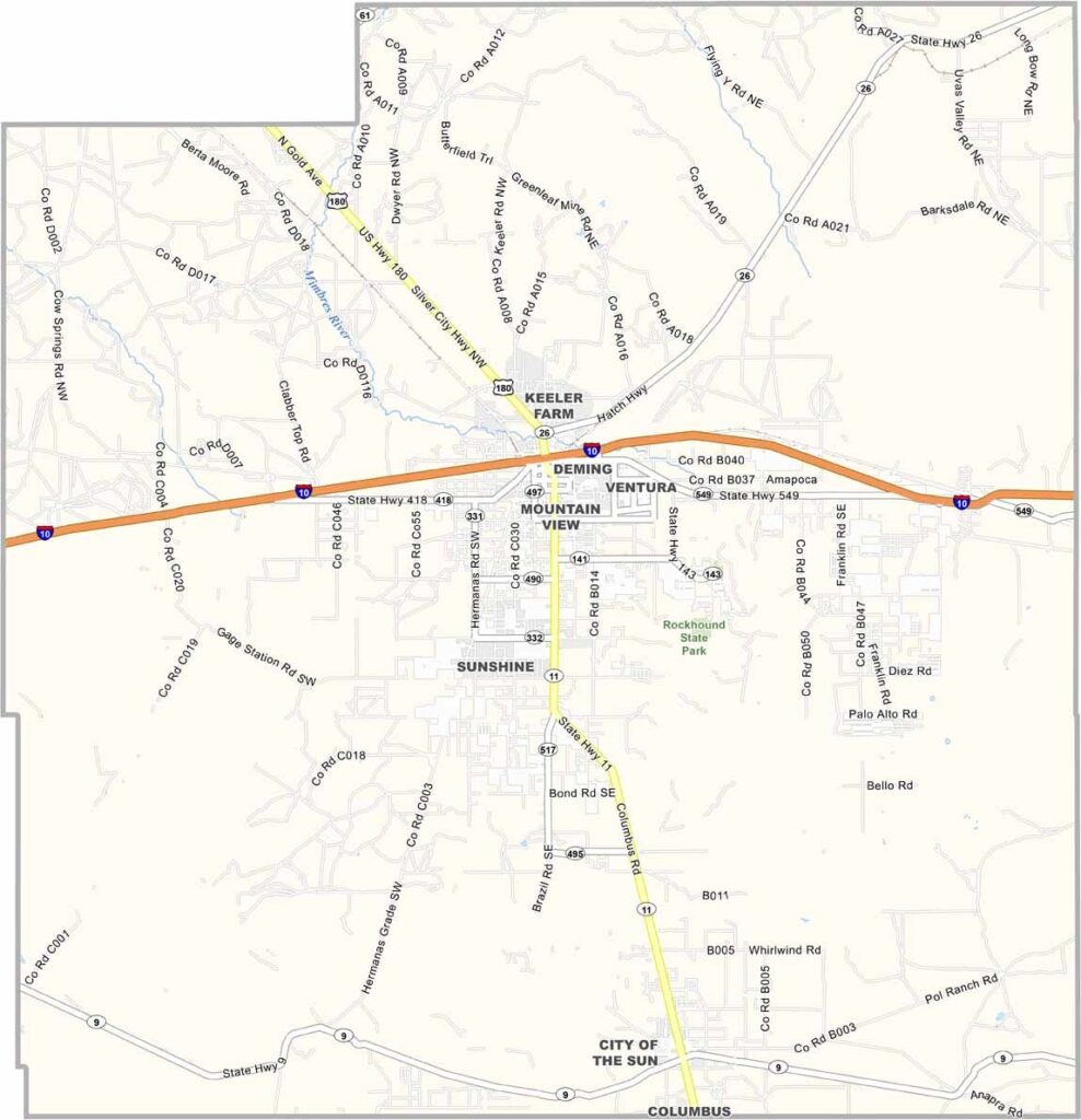
Luna County Map, New Mexico

Luna County, New Mexico

Luna County sits right on the Mexican border in southern New Mexico. Deming, the county seat, is known for its pure water, and yes, they really do hold water-tasting contests.

The Florida Mountains rise from the desert floor like islands in a sea of sand and creosote. This place has history, too, as ancient peoples lived here thousands of years ago.

Today, it's chile pepper country, with farms stretching for miles. The name "Luna" means moon in Spanish, which fits, but the county is actually named for Solomon Luna, a local politician and rancher.
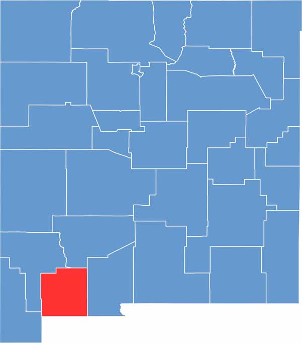

Luna County location map of New Mexico
CategoryDetails
County NameLuna County
County SeatDeming
EtymologyNamed after Solomon Luna, a local politician and rancher
Cities, Towns, and CommunitiesDeming, Columbus
Interstates and HighwaysInterstate 10, U.S. Route 70, U.S. Route 180
FIPS Code35-029
Total Area (Land and Water)2,965 square miles (2,965 sq mi land, 0 sq mi water)
Adjacent Counties (and Direction)Sierra County (Northeast), Doña Ana County (East), Grant County (West), Hidalgo County (West)
Time ZoneMountain Time Zone (MT)
StateNew Mexico
Coordinates32.2476° N, 107.7107° W
Major LandmarksRockhound State Park, Deming Luna Mimbres Museum, City of Rocks State Park
PopulationApproximately 24,000
Scroll to Top