
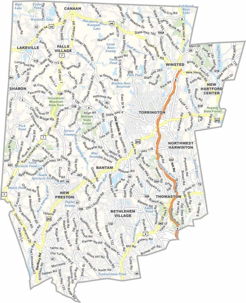
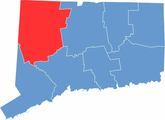
Explore Litchfield County, Connecticut, in the state’s scenic northwest corner, where rolling hills, historic covered bridges, charming town greens, and picturesque rural landscapes define the region. Known for its peaceful countryside and New England character, Litchfield County offers a refreshing escape from the bustle of nearby cities.
The area is especially popular for its antique shops, historic villages, country estates, and classic small-town charm. Outdoor enthusiasts can explore sections of the Appalachian Trail, which passes through the county and offers beautiful views of Connecticut’s wooded hills and valleys.
Litchfield County is a top destination for fall foliage, scenic drives, hiking, and antiquing throughout the year. With its natural beauty, historic attractions, and relaxed countryside atmosphere, it stands out as one of Connecticut’s most appealing destinations to explore.
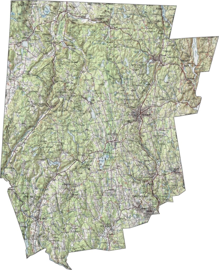
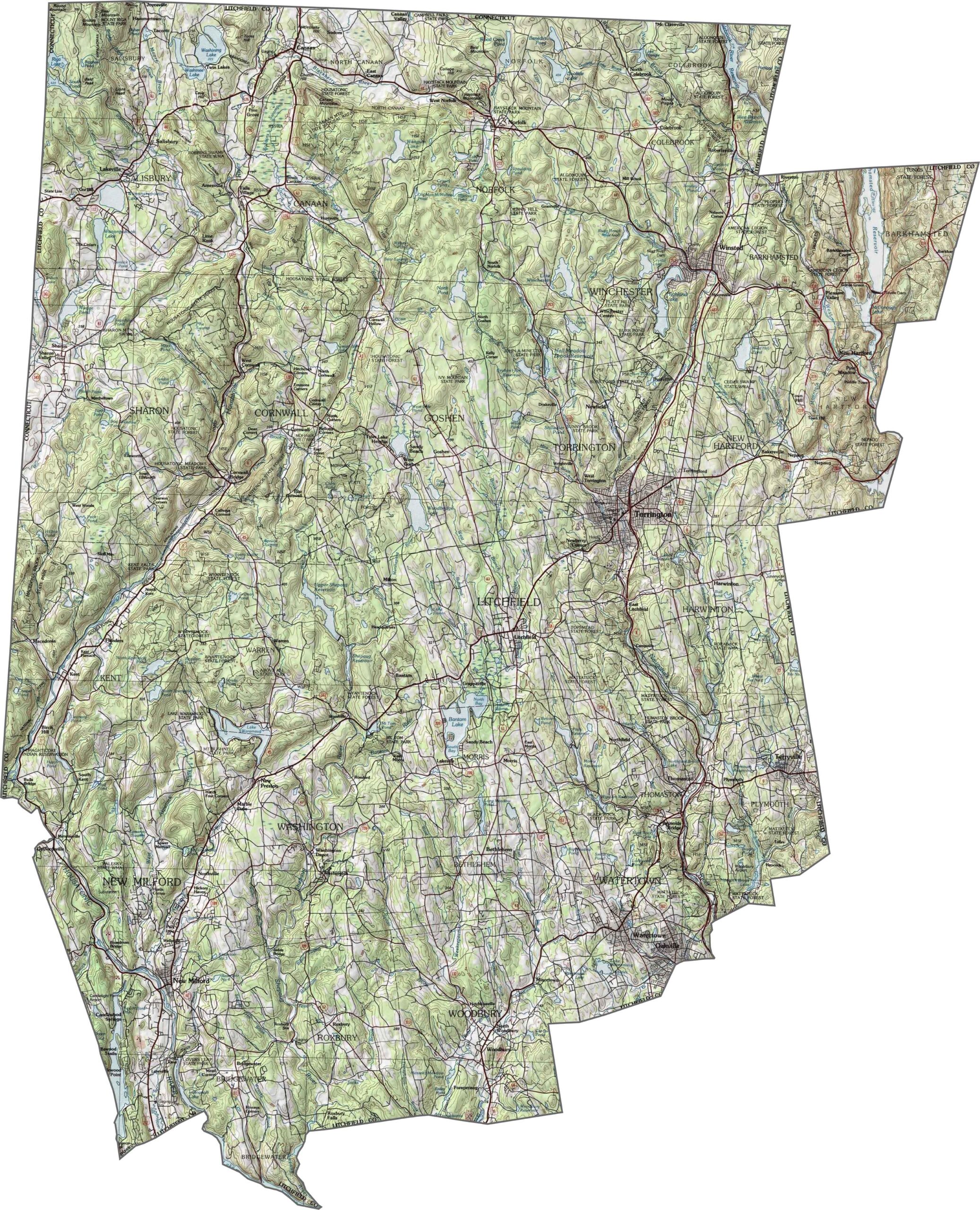
Our topographic map of Litchfield County highlights the county’s rugged, hilly, and mountainous terrain in northwestern Connecticut. Use the zoom tool to explore some of the state’s highest elevations, along with the many lakes and waterways nestled among its expansive forested hills.
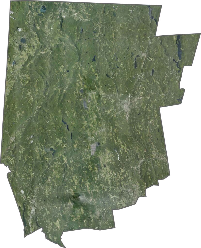
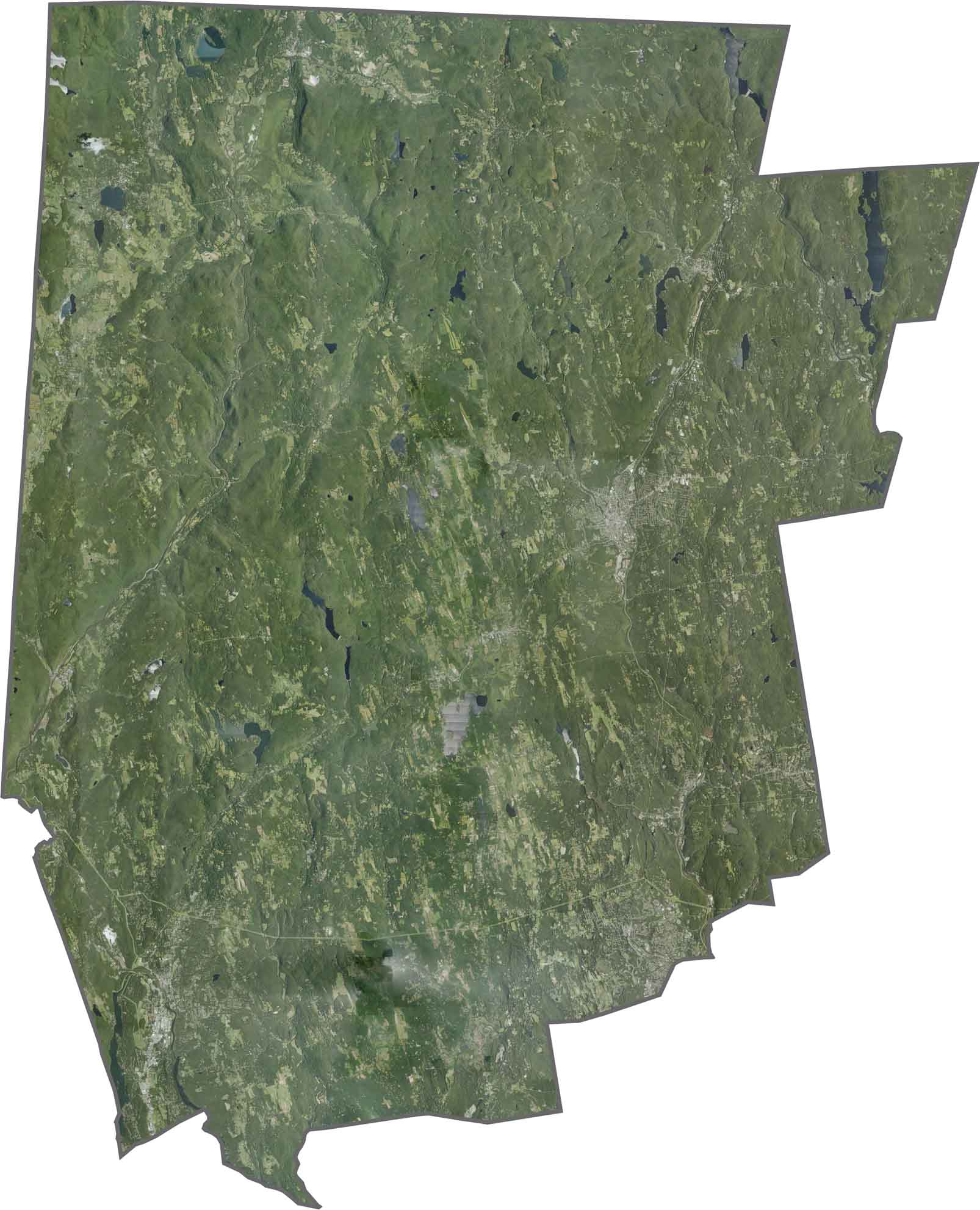
Forests cover much of this rural region, with relatively few large urban areas. Small towns and communities appear as open clearings within the extensive woodland, while numerous lakes add distinctive blue features across the landscape.
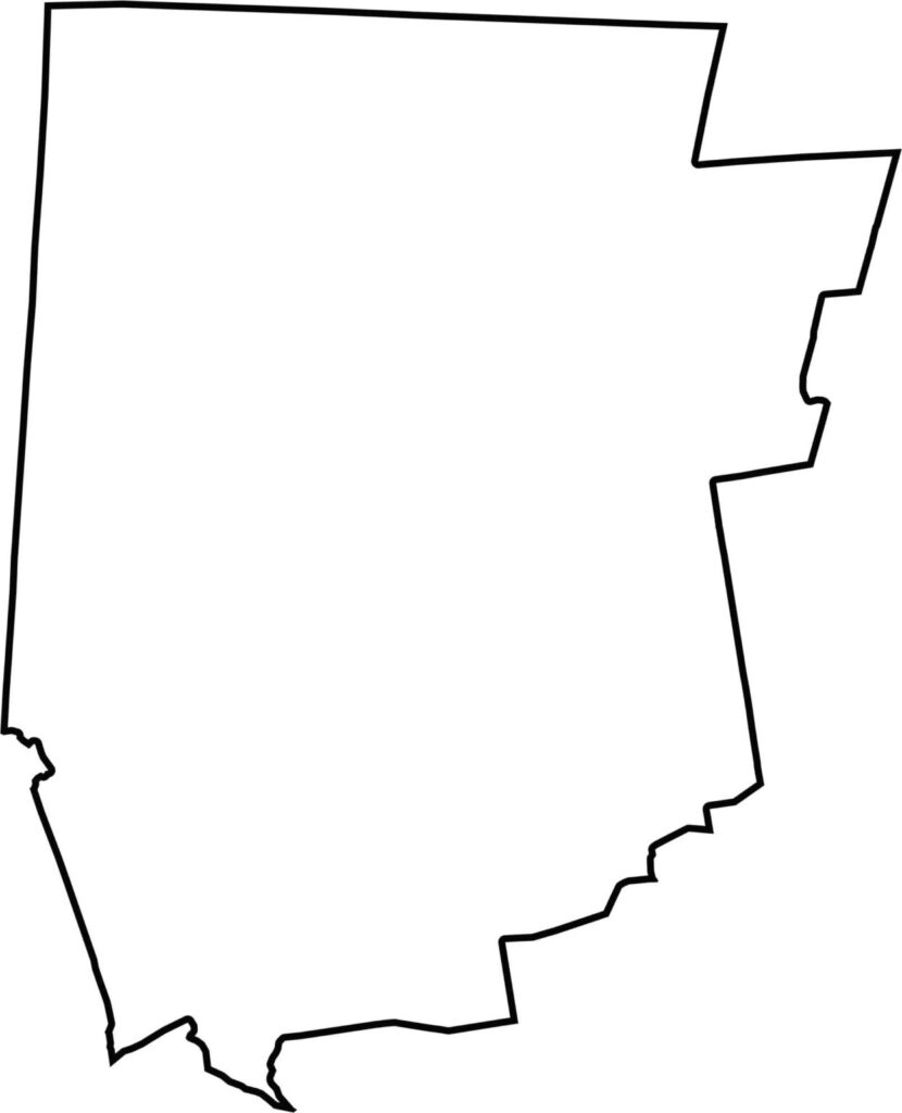
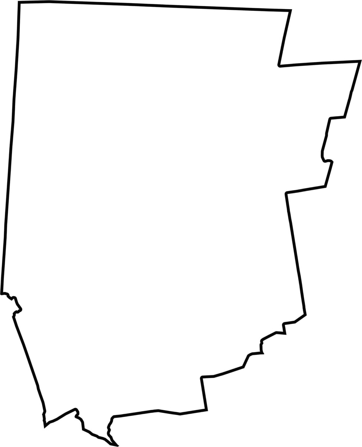
This blank map showcases the rectangular outline of Litchfield County in Connecticut’s northwestern corner. The county’s western boundary follows the New York state line, while its northern border meets Massachusetts, making it an important geographic reference for exploring the region’s terrain and surrounding landscapes.
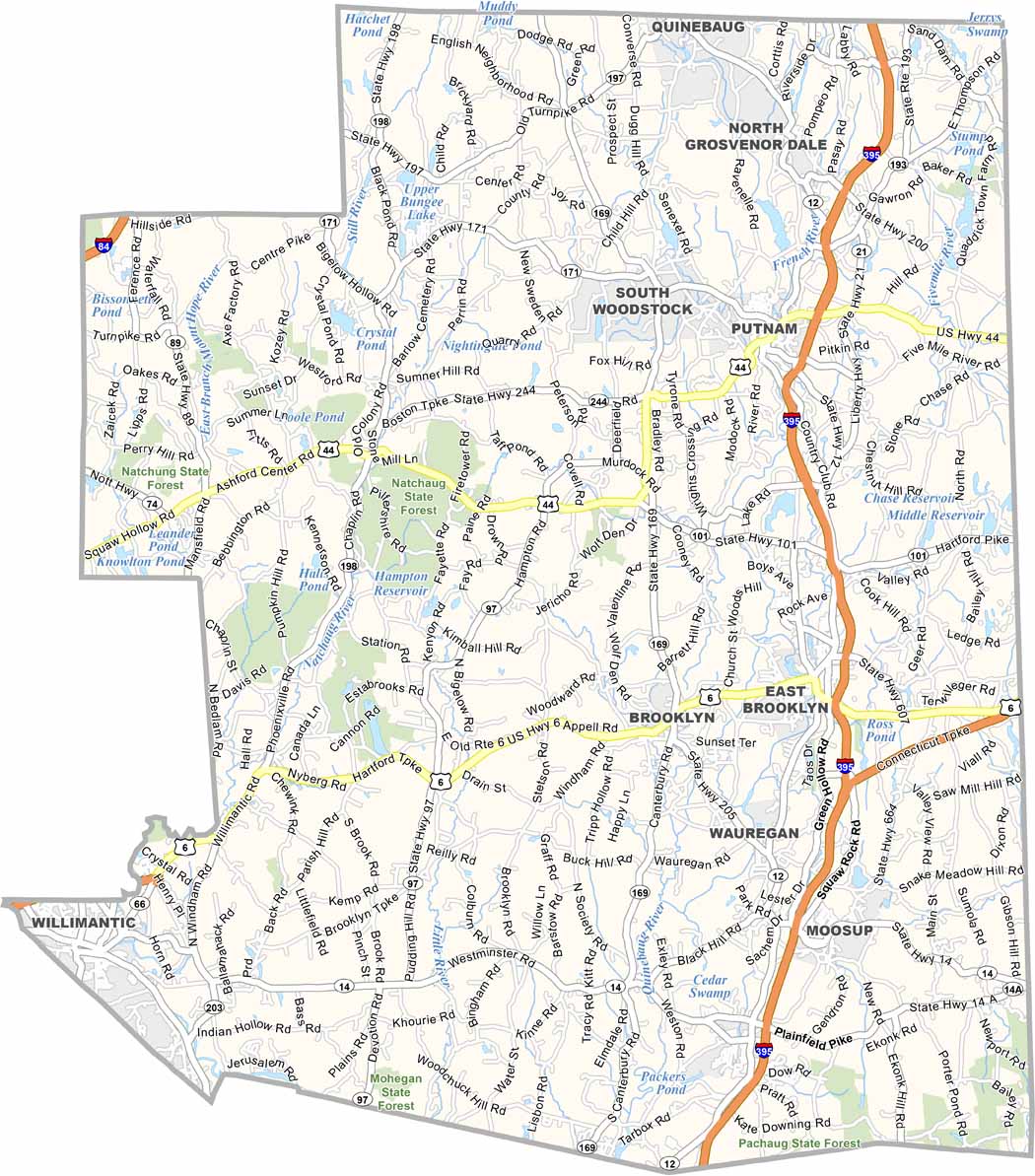
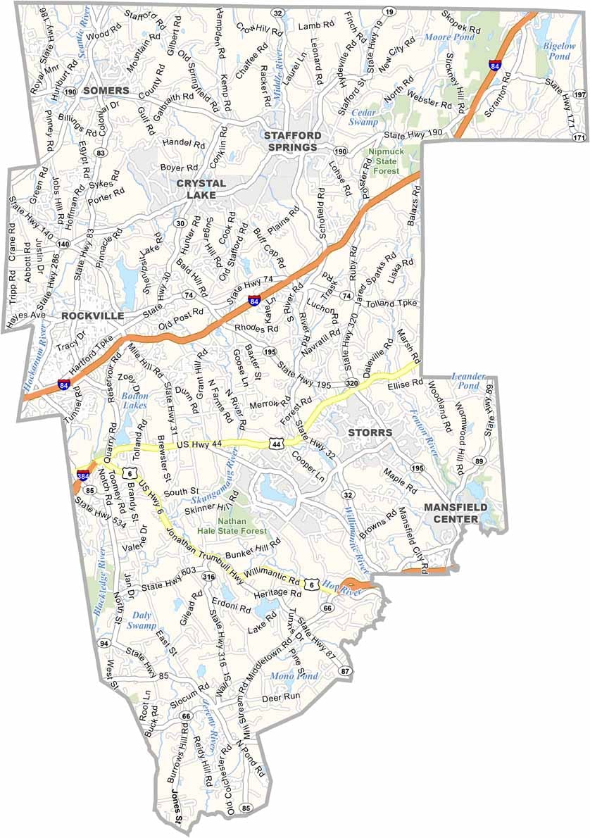
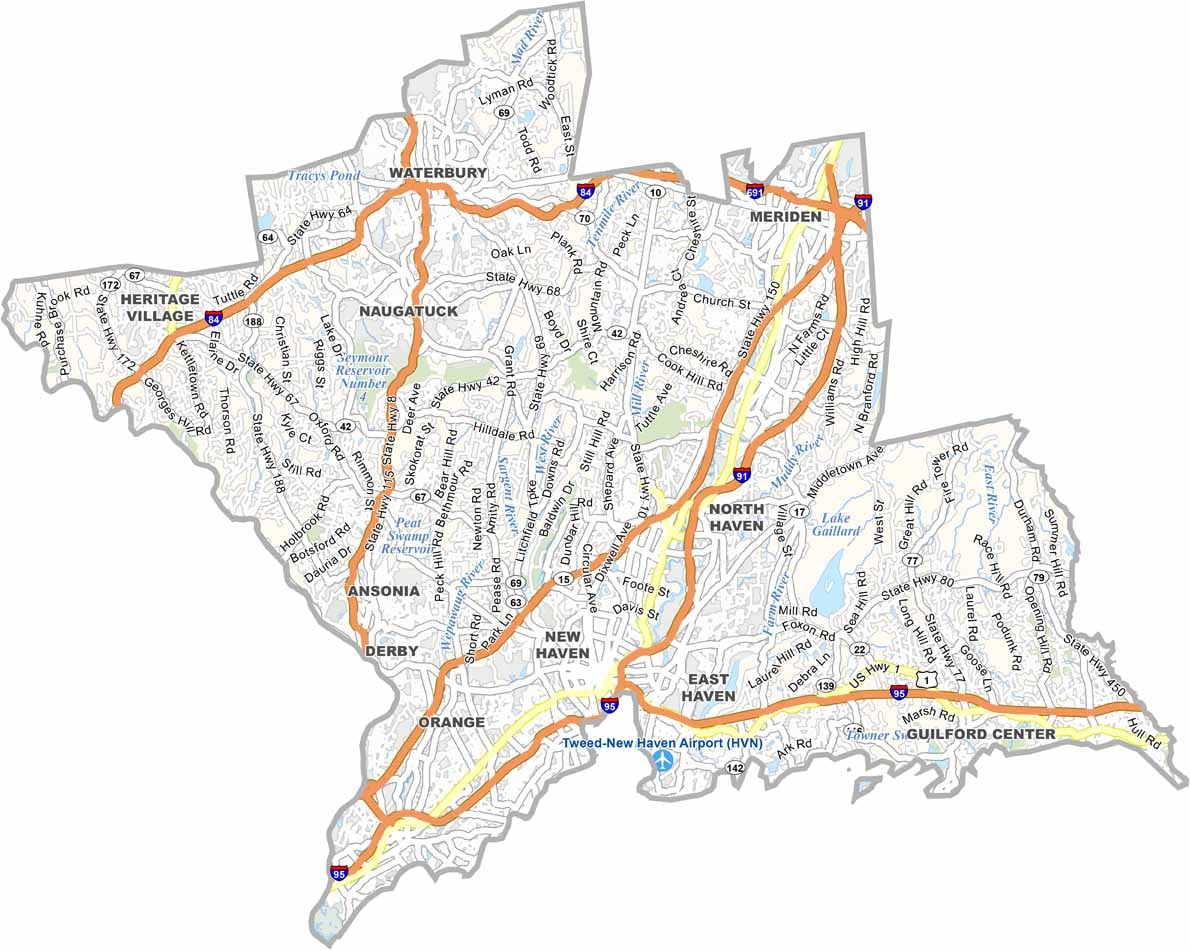
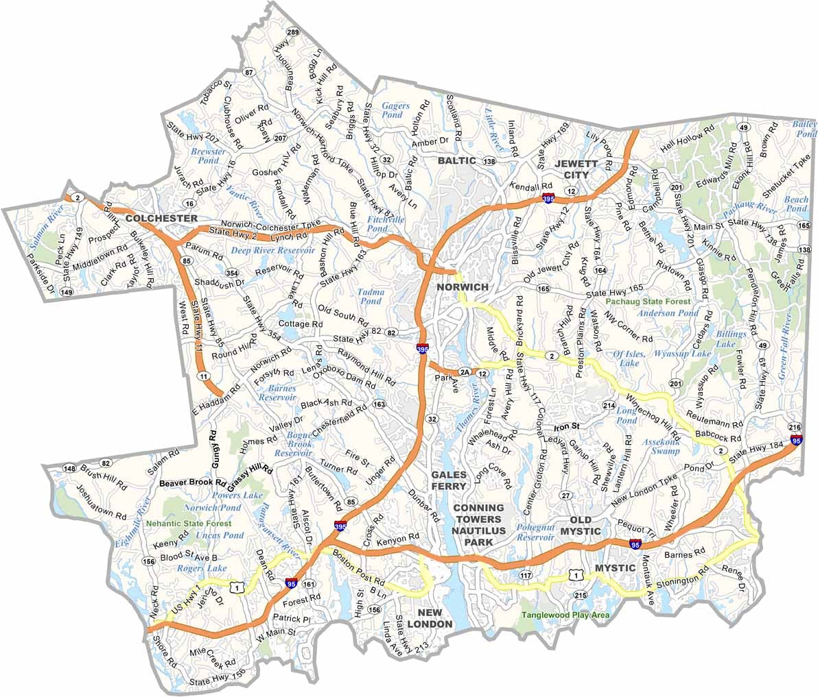
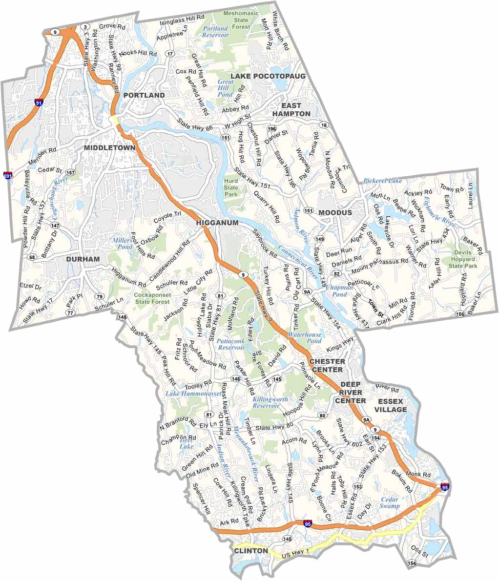
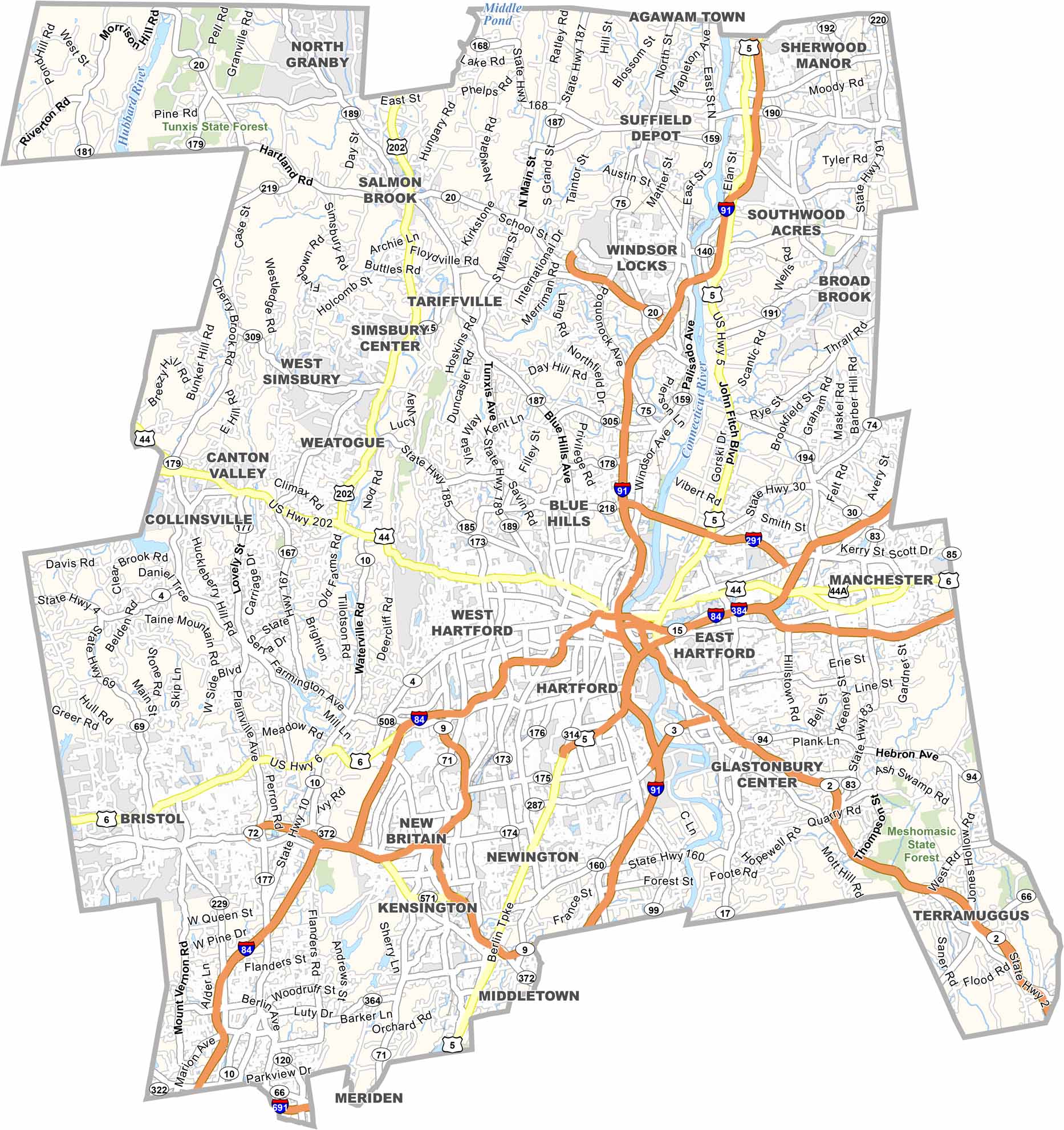
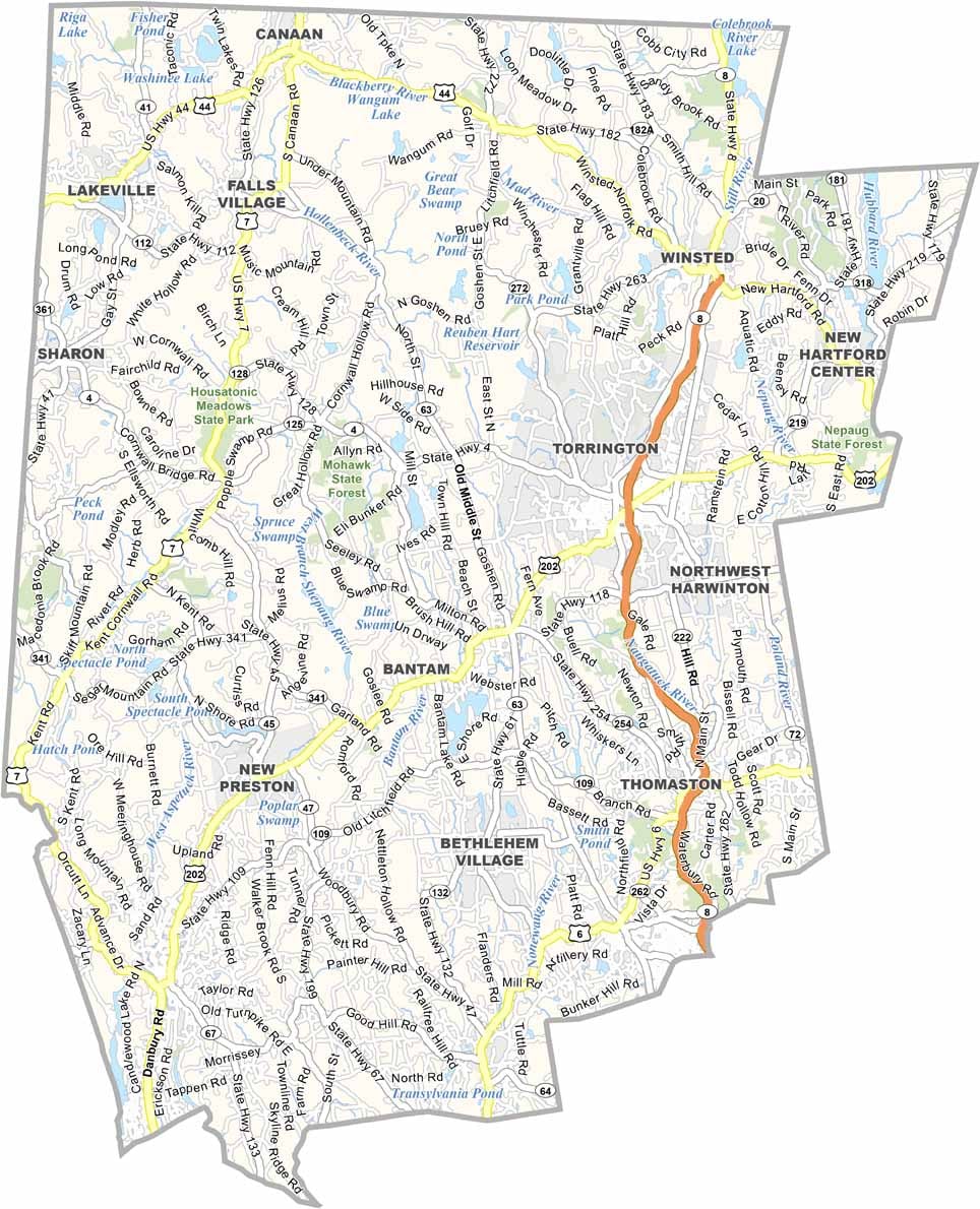
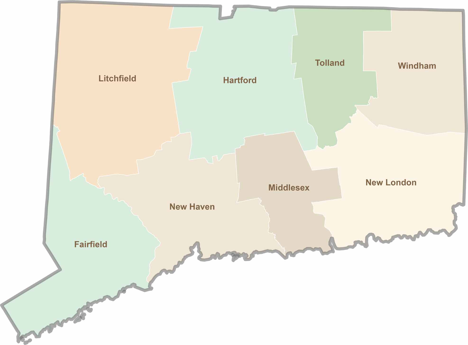
Not sure which Connecticut counties to explore? Each of the state’s eight counties has its own unique character. Our Connecticut county map features topographic, satellite, and outline maps to help you discover every region with ease.