
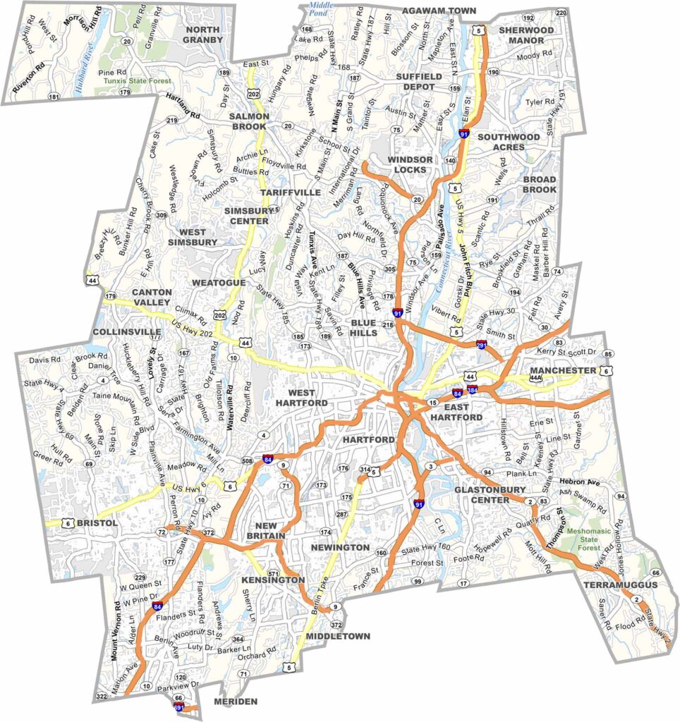
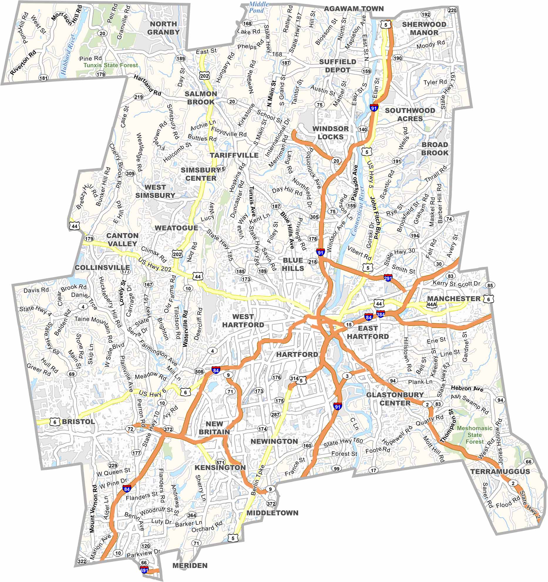
Hartford County sits in the heart of Connecticut, with the state capital serving as its centerpiece. The Connecticut River runs through the county, while Hartford is widely known as the Insurance Capital of the World.
Step outside the city, and you’ll find classic New England landscapes, including tobacco fields, apple orchards, and charming rural communities. The county is also home to several respected educational institutions, including the University of Connecticut and Trinity College.
The Mark Twain House helps preserve the area’s rich literary history. From major corporate headquarters to family-owned farms, Hartford County offers a diverse mix of urban and rural life. It’s Connecticut in a nutshell—a little bit of everything packed into one county.
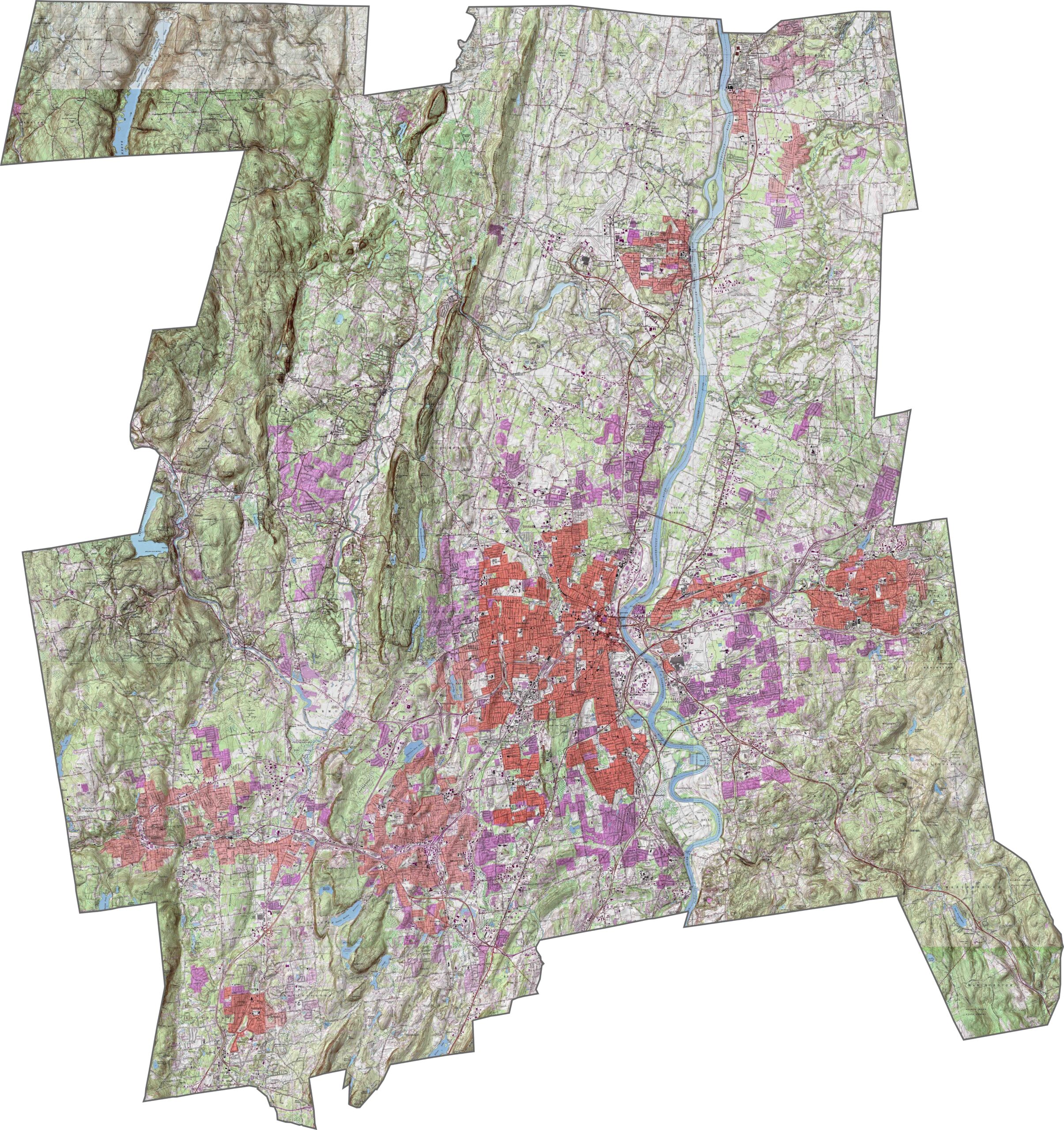
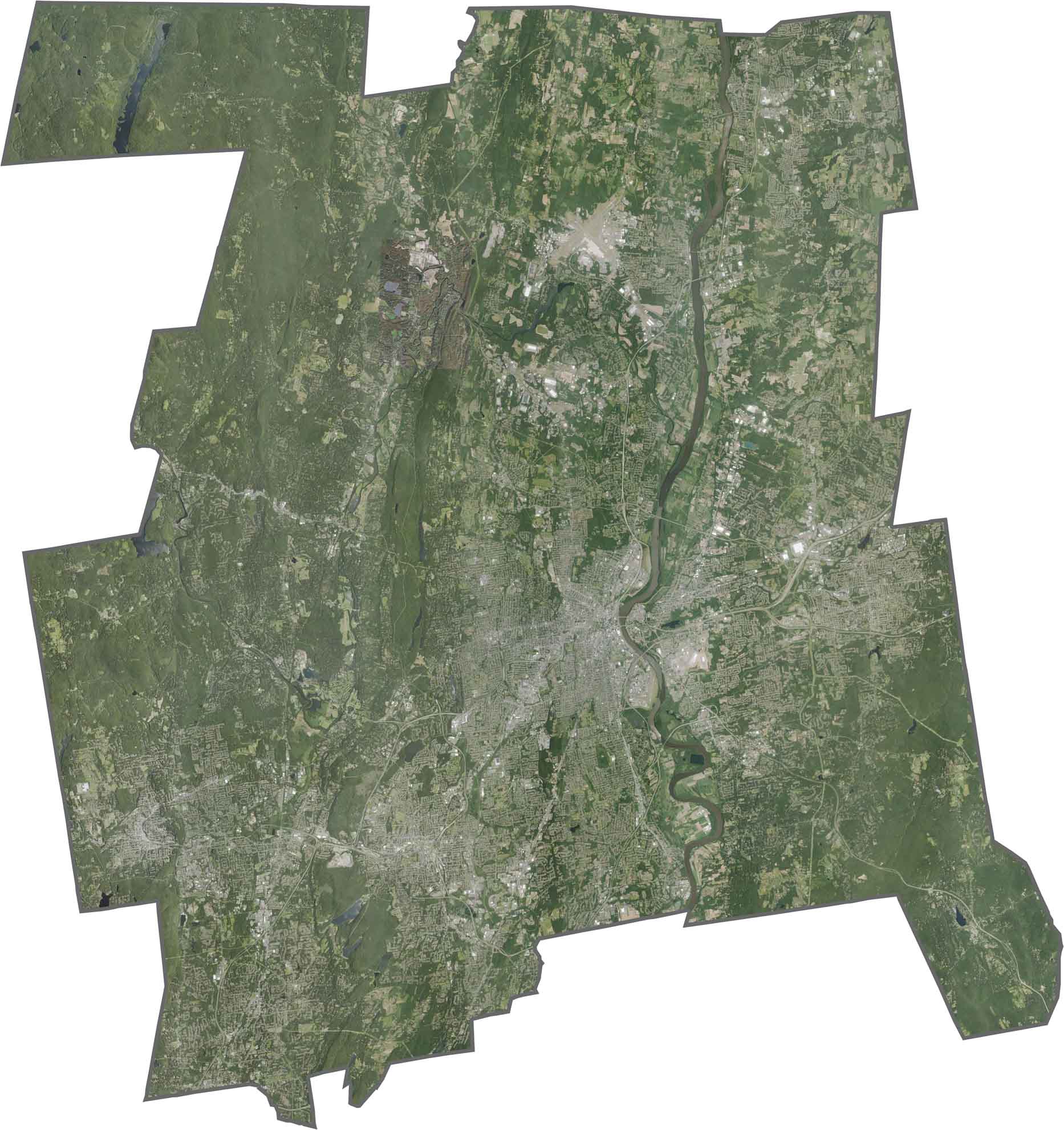
Explore Hartford County, Connecticut, with our detailed topographic map showcasing the Connecticut River valley, surrounding uplands, and changing elevations. Use the zoom tool to examine the flat river plains and observe the gradual rise toward the wooded hills in the eastern and western parts of the county.
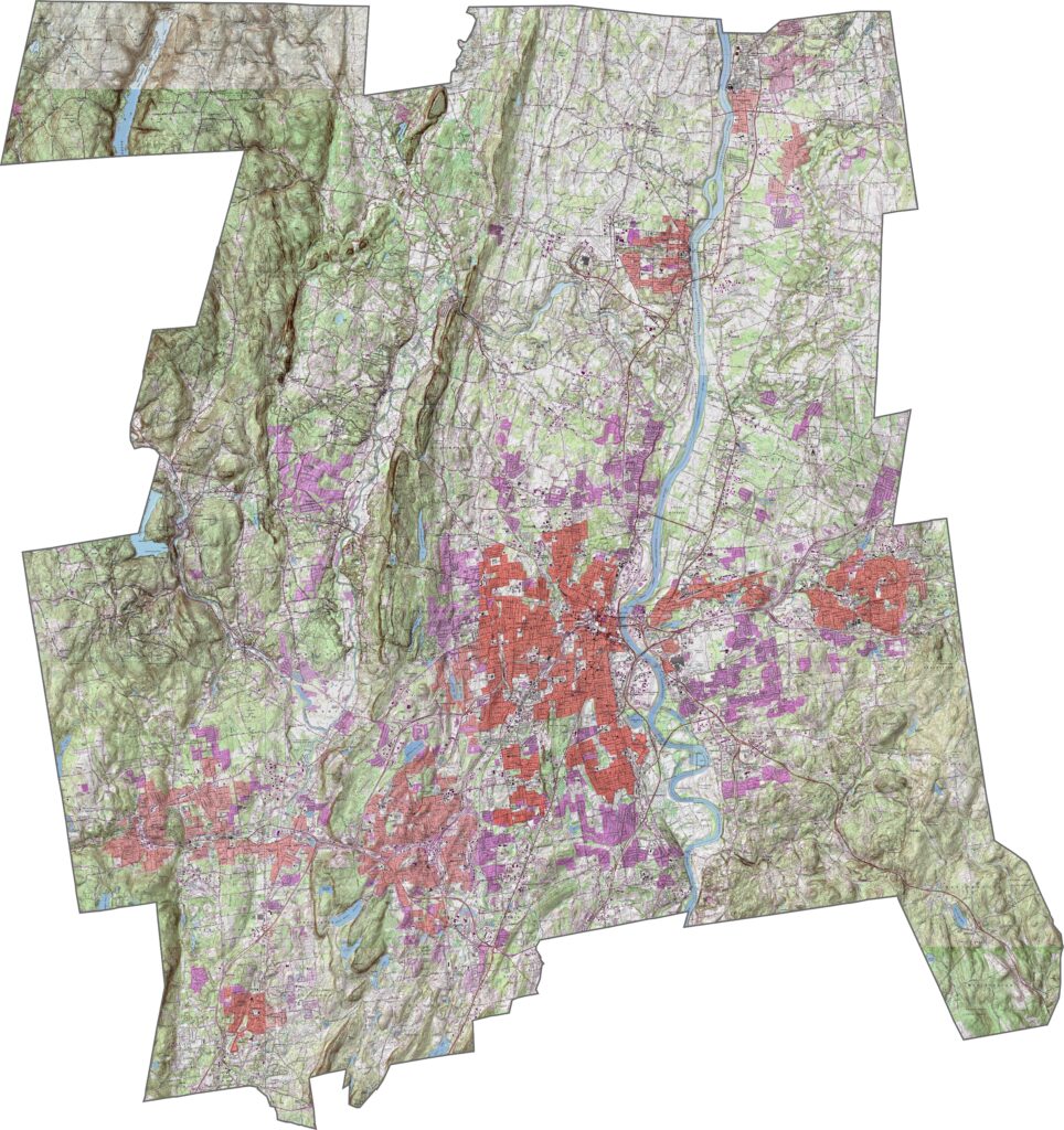
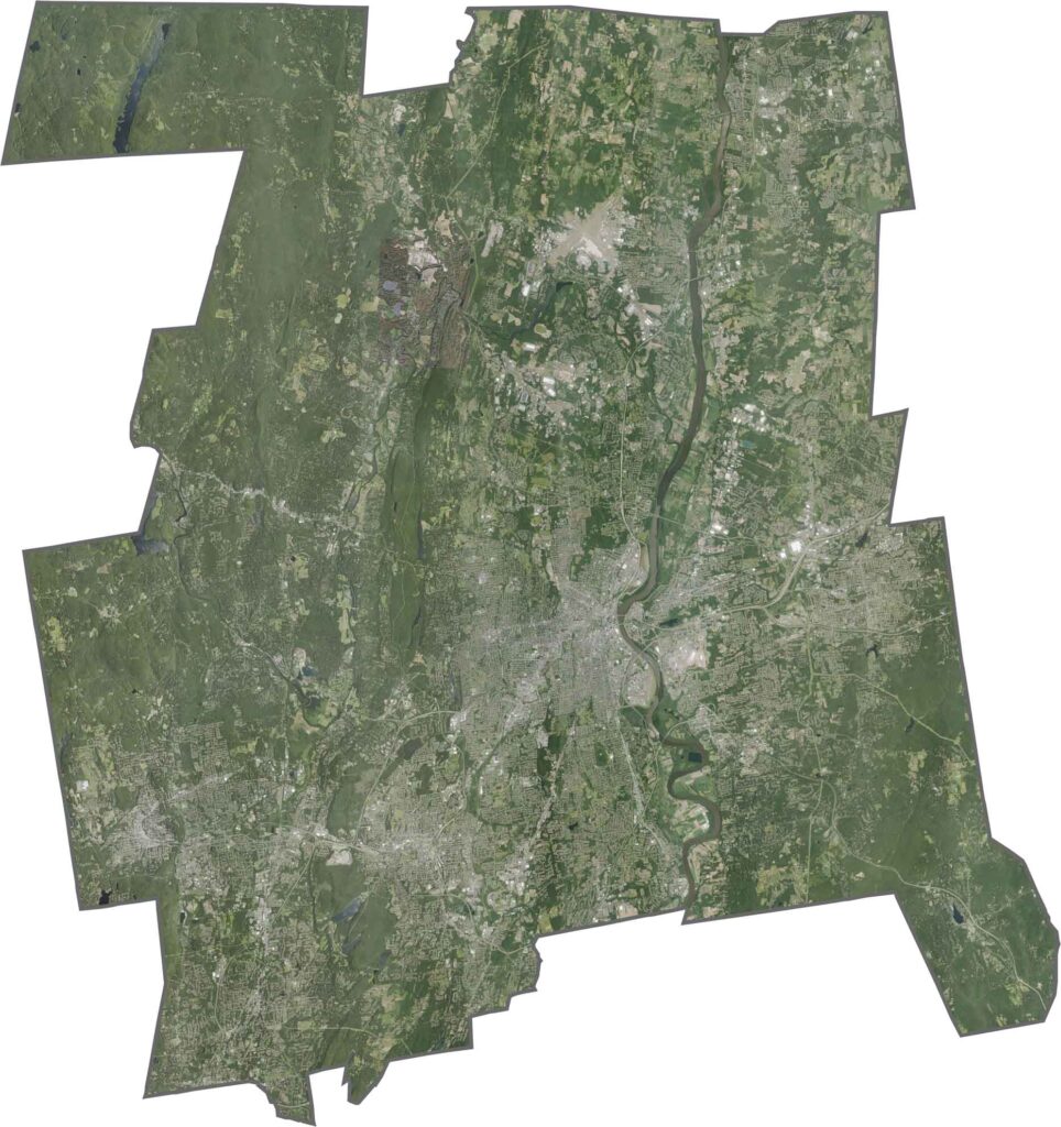
The Connecticut River runs through the heart of Hartford County, creating a distinctive geographic corridor. The landscape around Hartford features a mix of urban development, agricultural land, open spaces, and forested hills along the county’s outer edges.
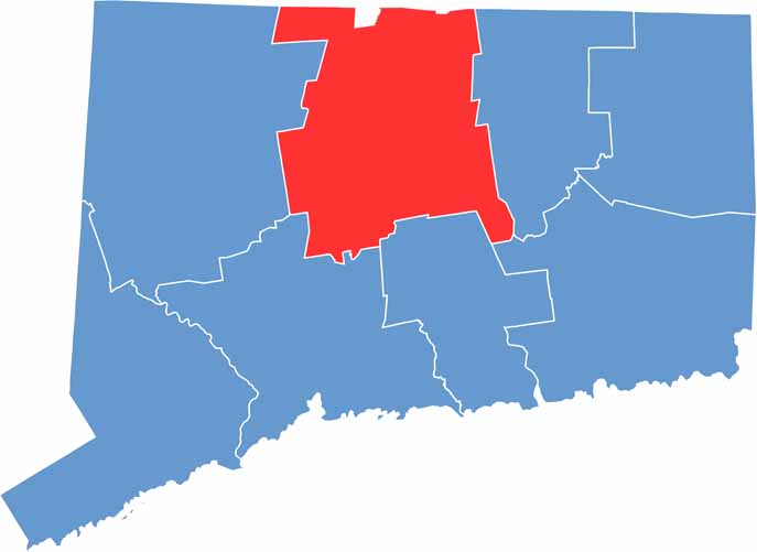
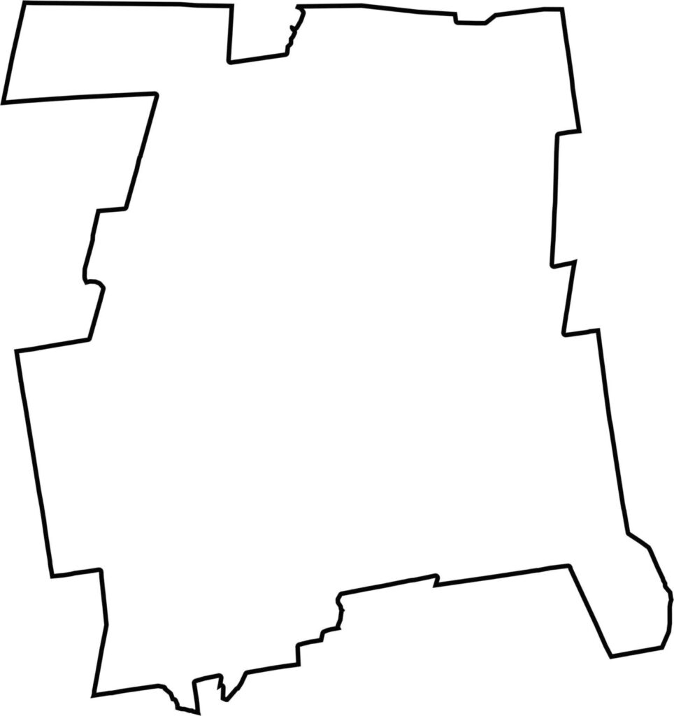
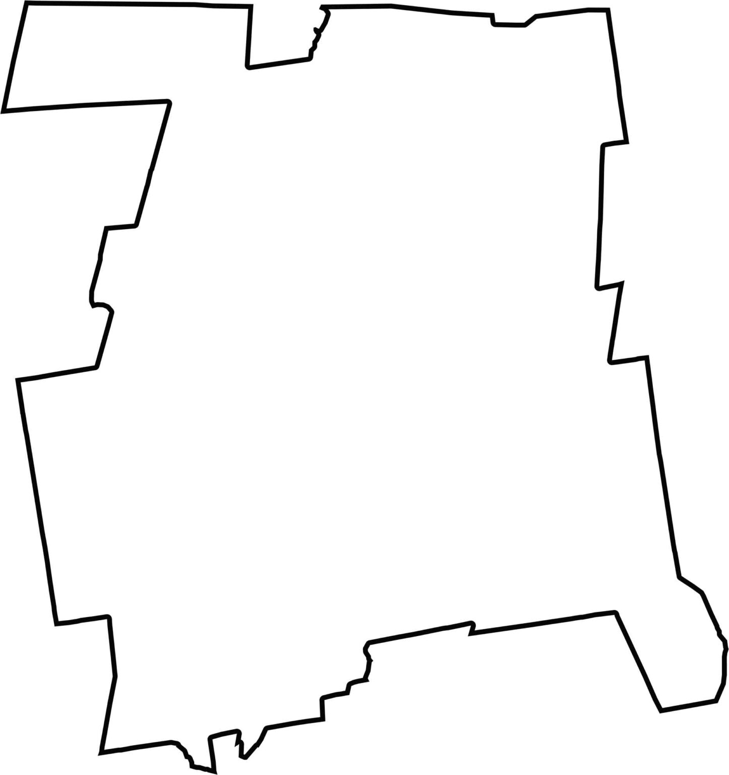
This blank map of Hartford County provides a simple view of its compact outline in north-central Connecticut. It highlights the capital city region and nearby communities while offering a useful reference for exploring the county’s geography, terrain, and location along the Connecticut River.
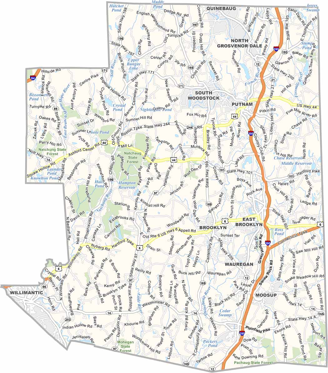
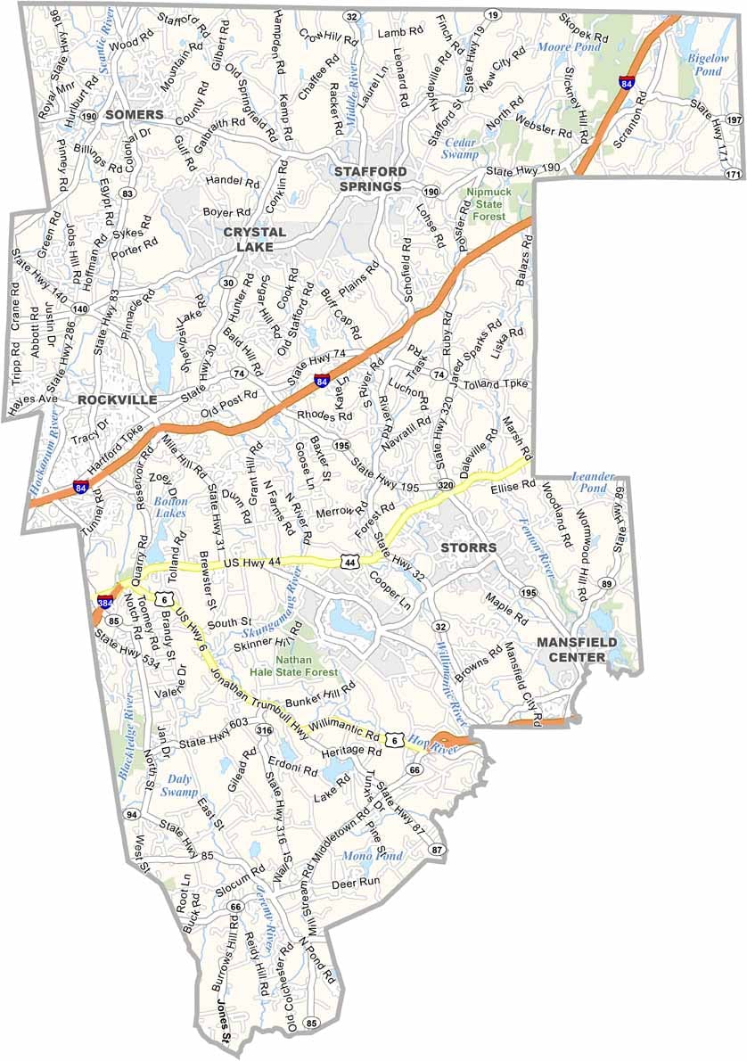
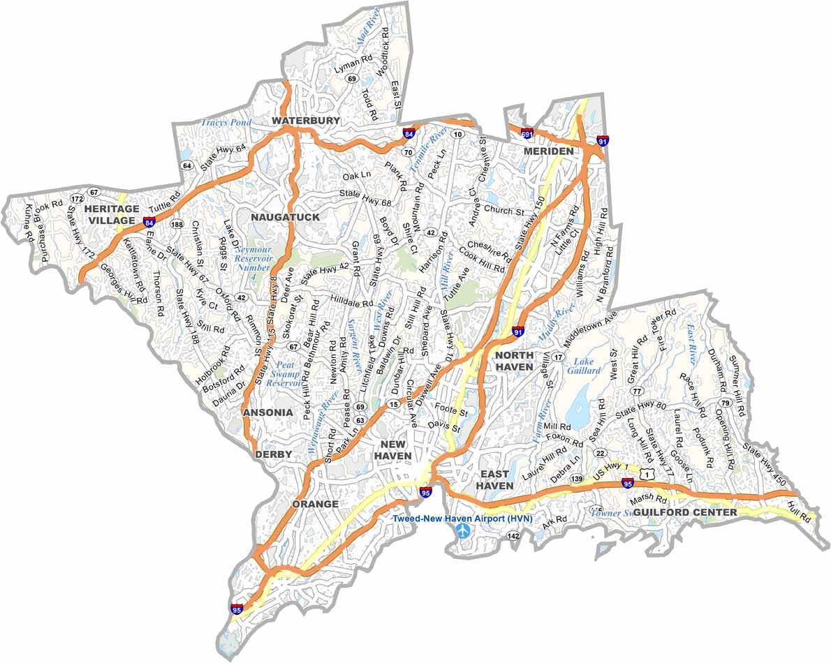

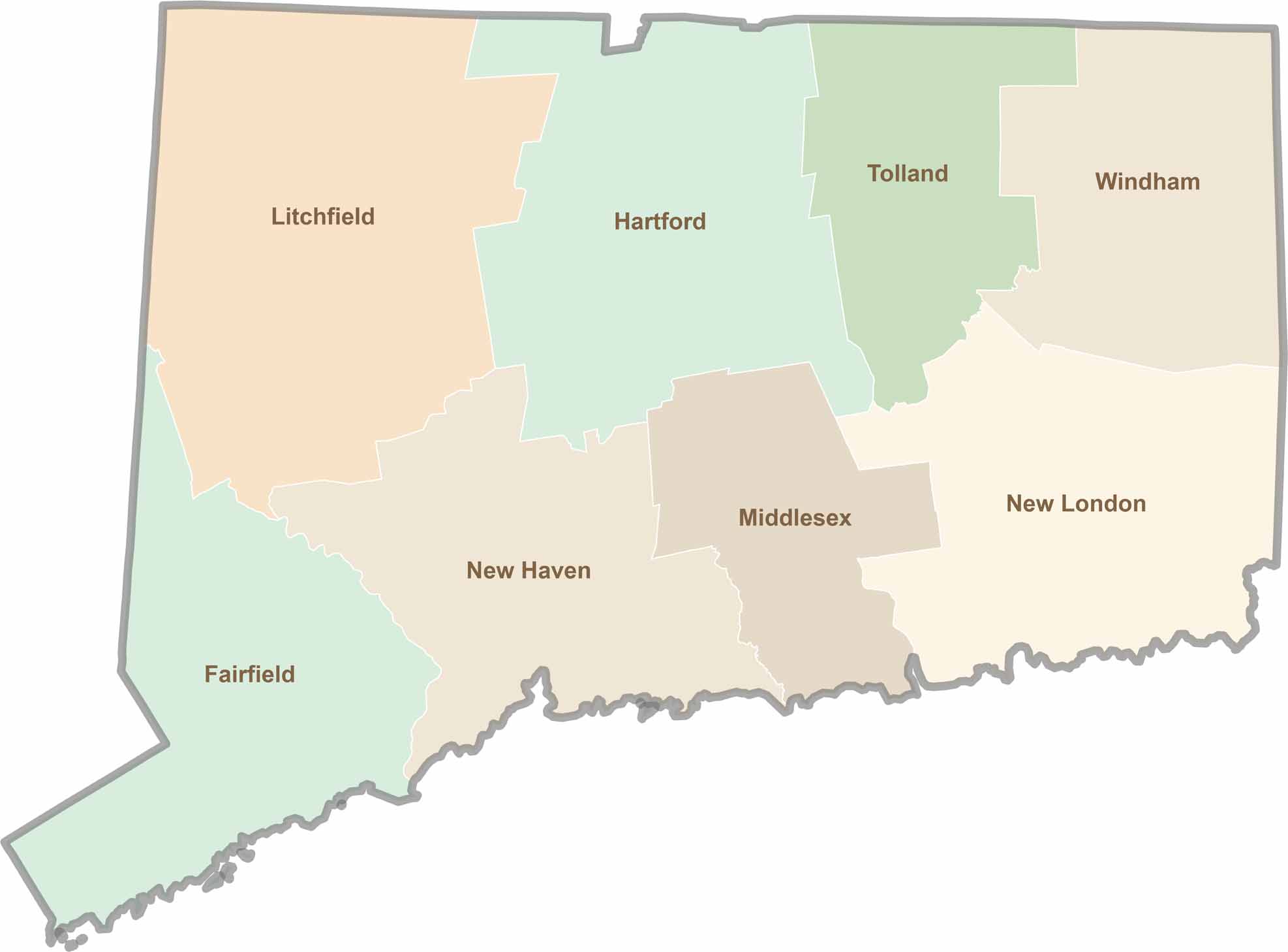
Not sure which Connecticut counties to explore? Each of the state’s eight counties has its own unique character. Our Connecticut county map features topographic, satellite, and outline maps to help you discover every region with ease.