
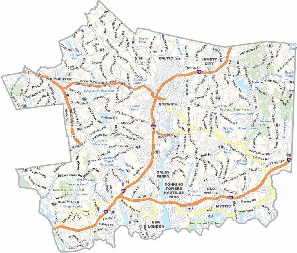
New London County occupies southeastern Connecticut, where the Thames River meets Long Island Sound. It’s submarine country, with the Naval Submarine Base keeping things shipshape. Mystic Seaport draws tourists, while Mohegan Sun lights up the night.
You’ll find quiet farm towns not far from bustling marinas. New London County has a strong nautical vibe with a side of rural charm. It’s a place where you can enjoy both salty sea air and hay fever on the same day.
The county is a bit of a chameleon. It’s part maritime New England, part casino glitz, and part quiet countryside. It offers the best of several worlds, and it sounds like a lot of fun to me.
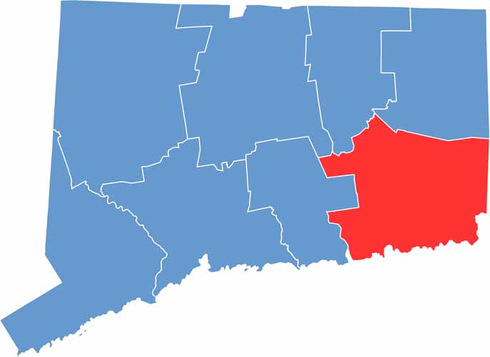
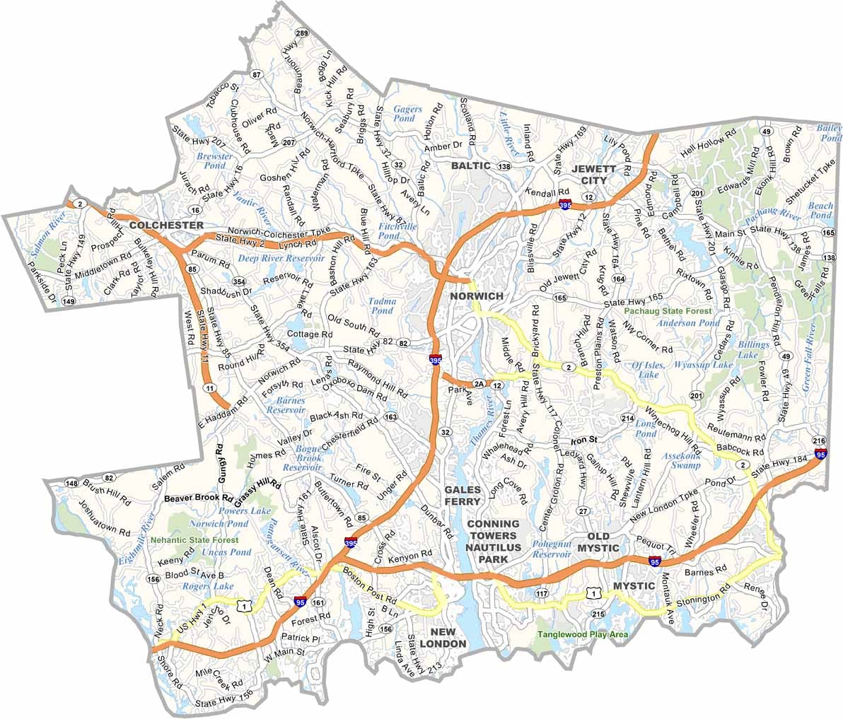
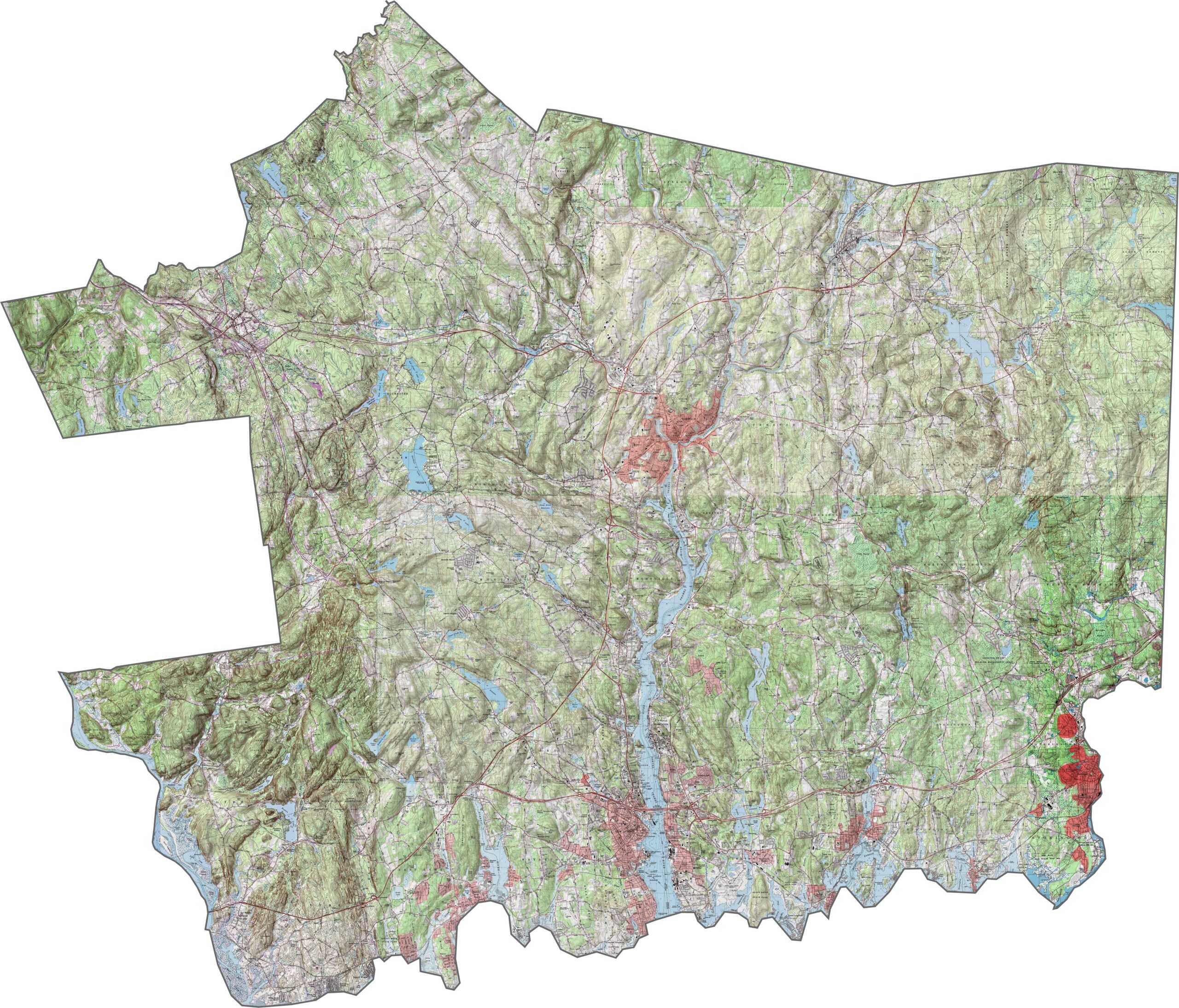
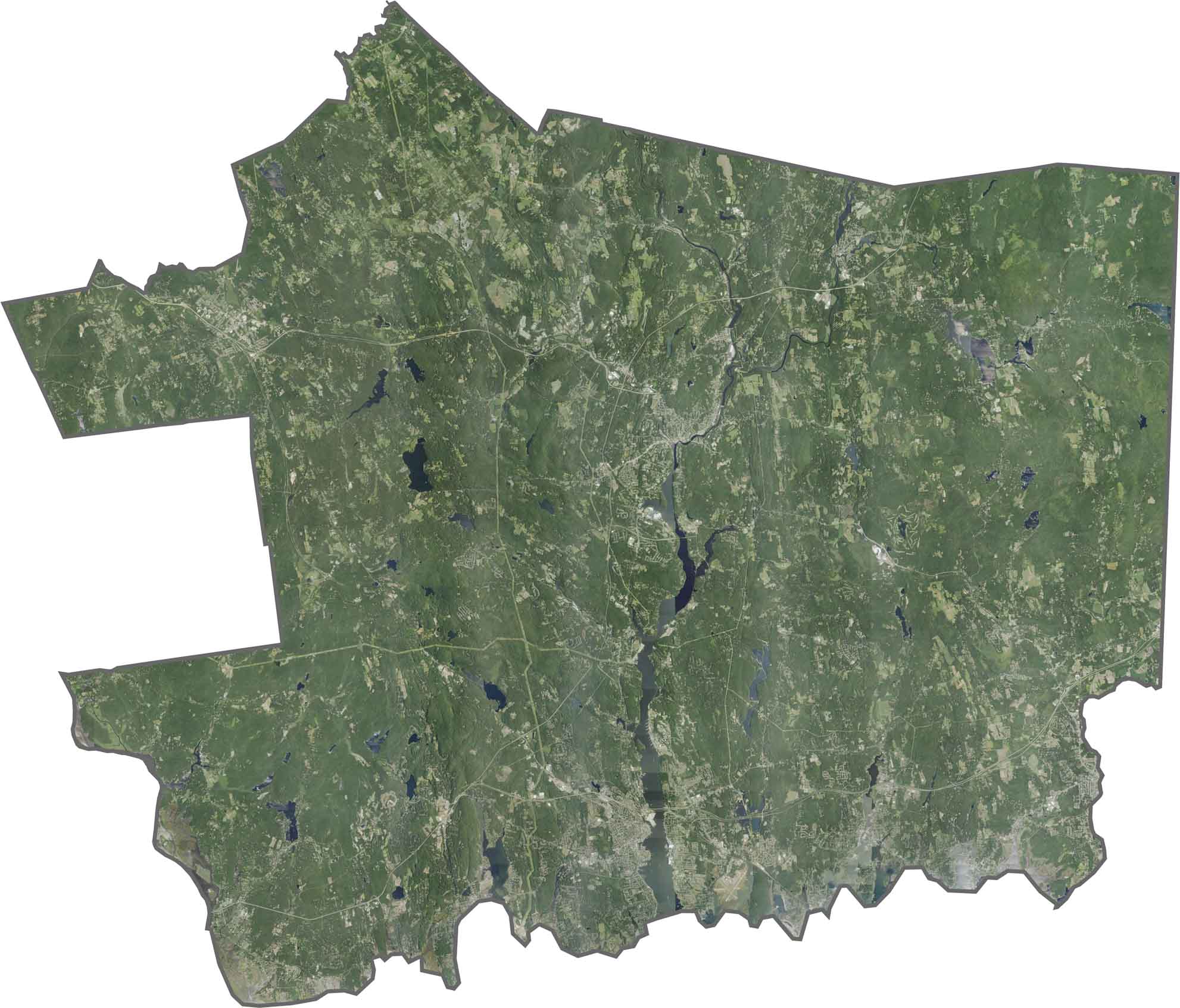
This topographic map of New London County displays the varied coastal and inland terrain of southeastern Connecticut. Our zoom tool helps you examine the complex shoreline features and rolling hills that extend northward.
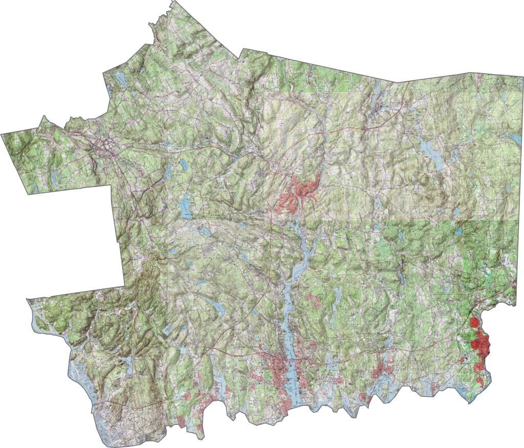
Rivers meet Long Island Sound, creating multiple harbors along the county’s southern edge. The Thames River forms a major north-south corridor, while the rural northern portions feature predominantly forested hills.
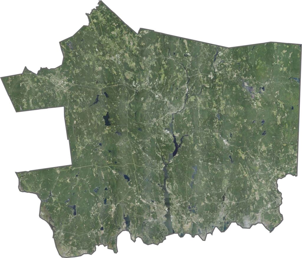
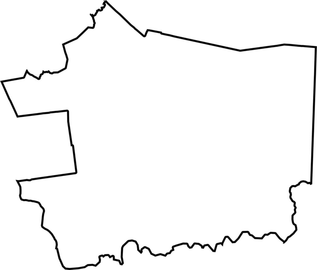
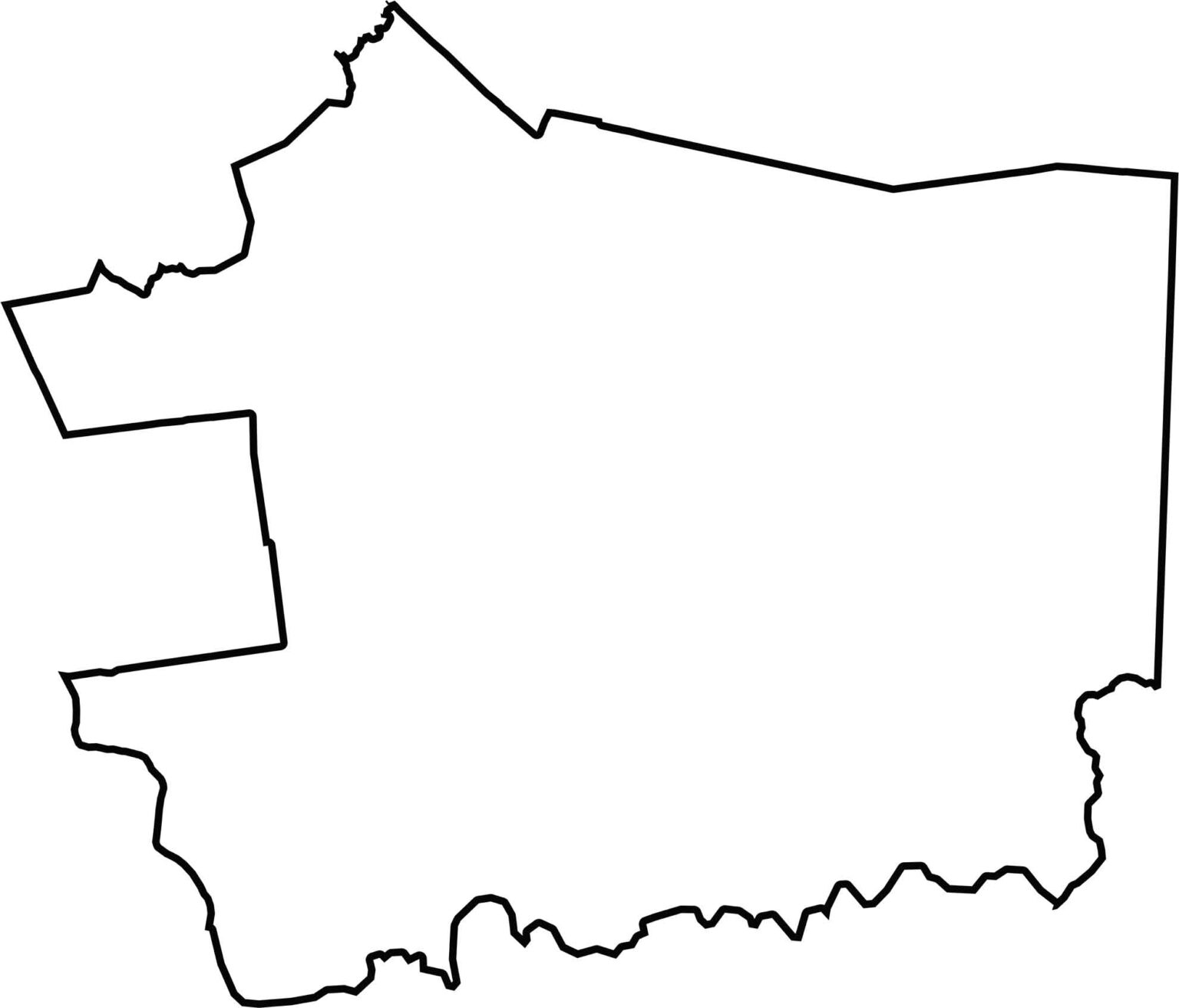
This blank map of New London County shows its irregular outline in southeastern Connecticut. The southern boundary follows the Long Island Sound coastline, while the eastern edge borders Rhode Island.
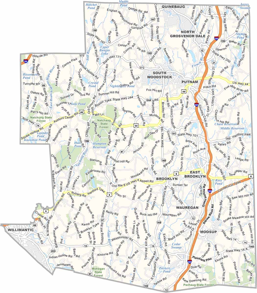
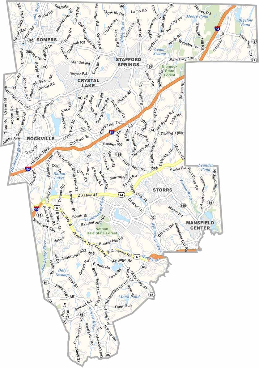
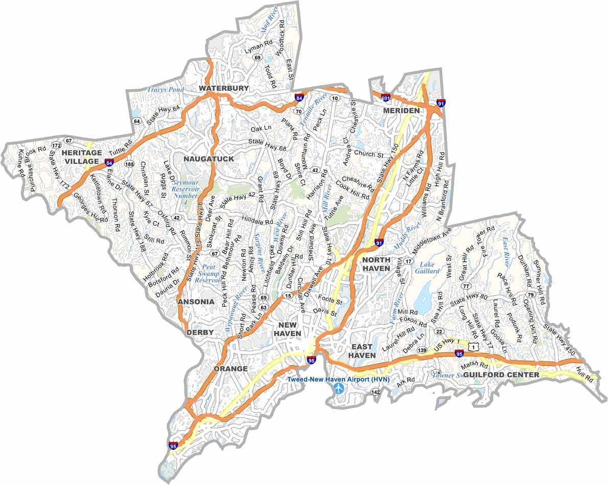

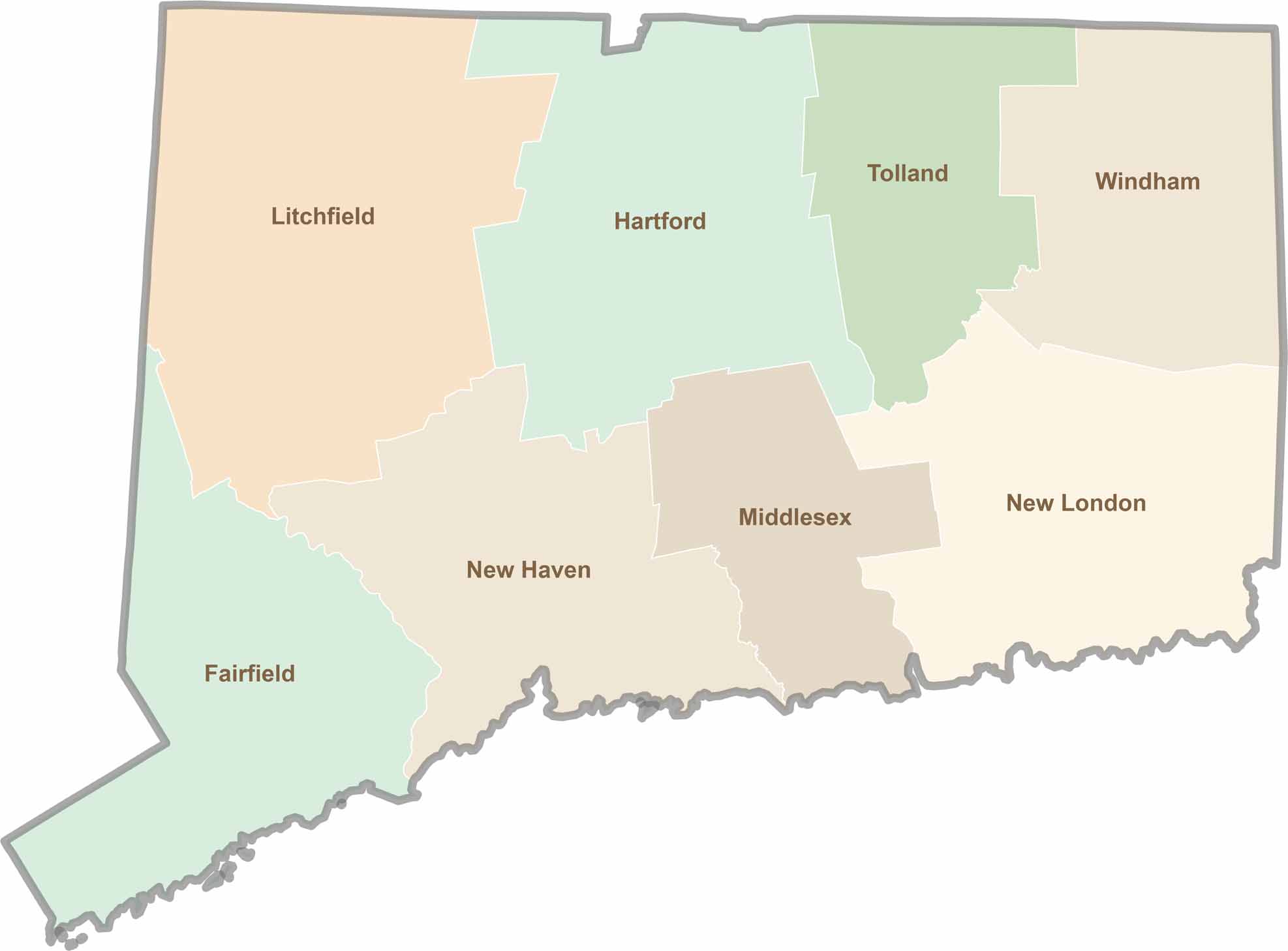
Not sure which Connecticut counties to explore? Each of the state’s eight counties has its own unique character. Our Connecticut county map features topographic, satellite, and outline maps to help you discover every region with ease.