
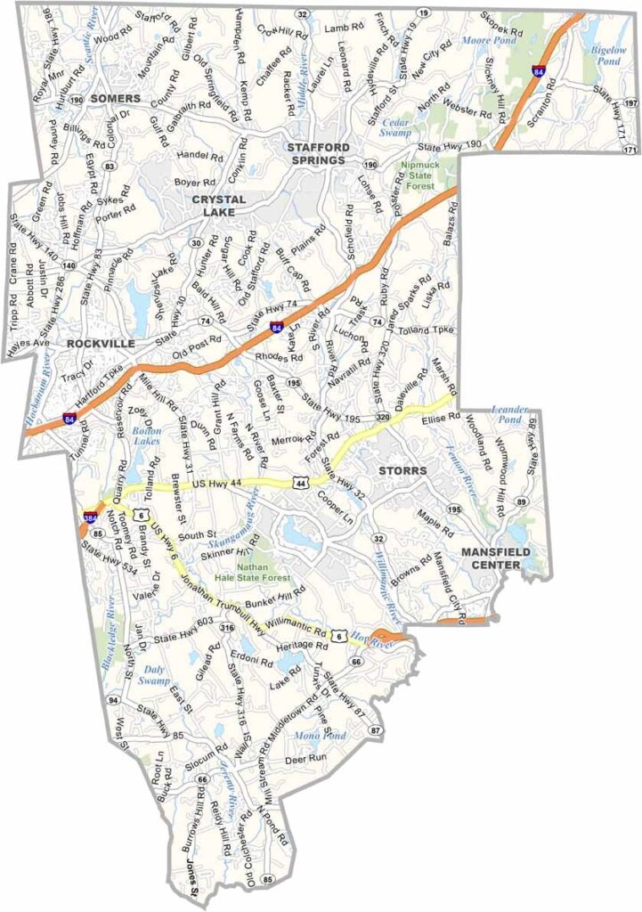
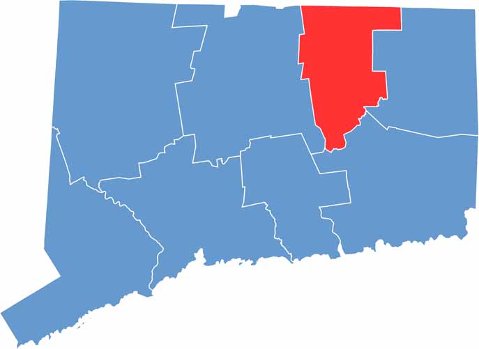
Tolland County sits in northeastern Connecticut, a quiet corner of the state that is often overlooked by out-of-state visitors. The main campus of the University of Connecticut (UConn) in Storrs brings energy and activity to the area.
It is one of Connecticut’s quieter regions, offering a peaceful escape for commuters from nearby Hartford. Residential communities are spread among rolling hills, open spaces, and traditional dairy farms.
Tolland County has more trees than people in many areas, creating a landscape rich in forests and natural beauty. State forests provide plenty of opportunities for hiking and outdoor recreation. It’s the kind of place where you might spot both a black bear and a university professor on the same nature walk—quiet, steady, and distinctly green.
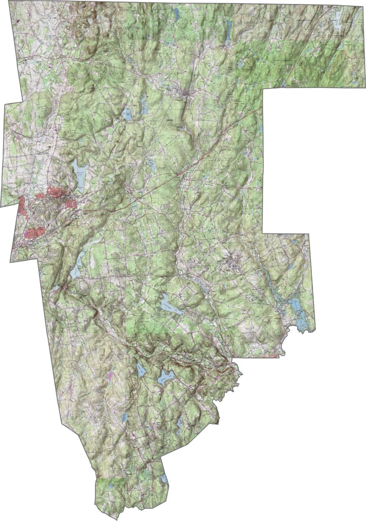
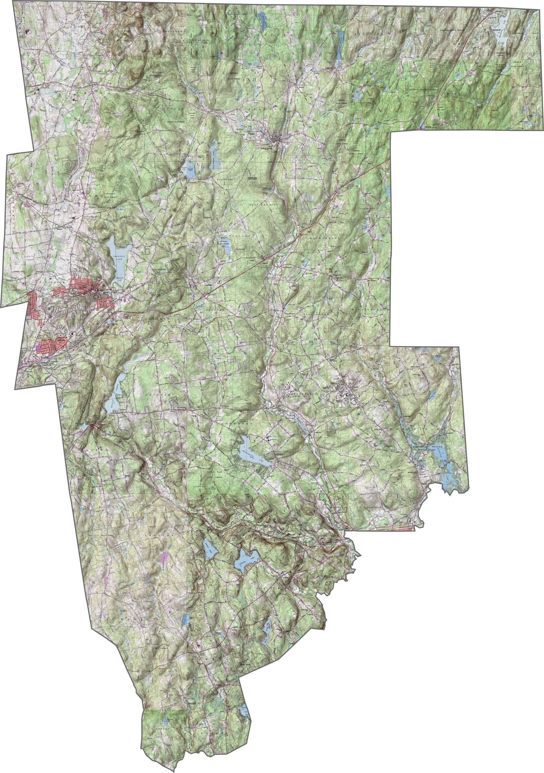
Our topographic map of Tolland County highlights its hilly terrain in northeastern Connecticut. Use our zoom tool to explore the gradual elevation increase from the central valley toward the Massachusetts border.
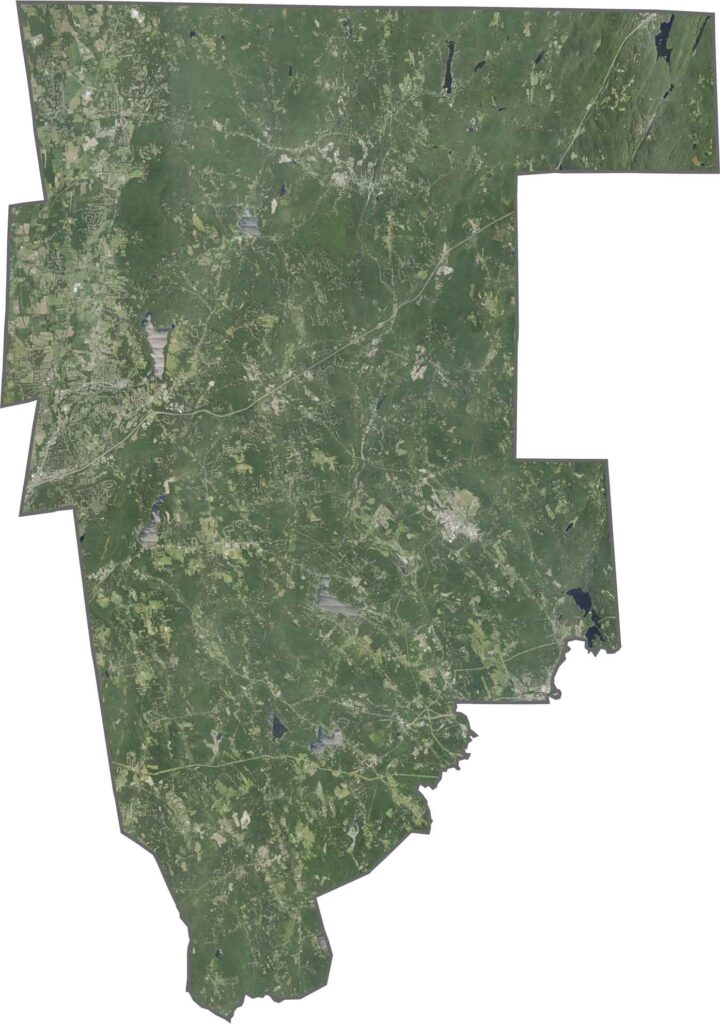
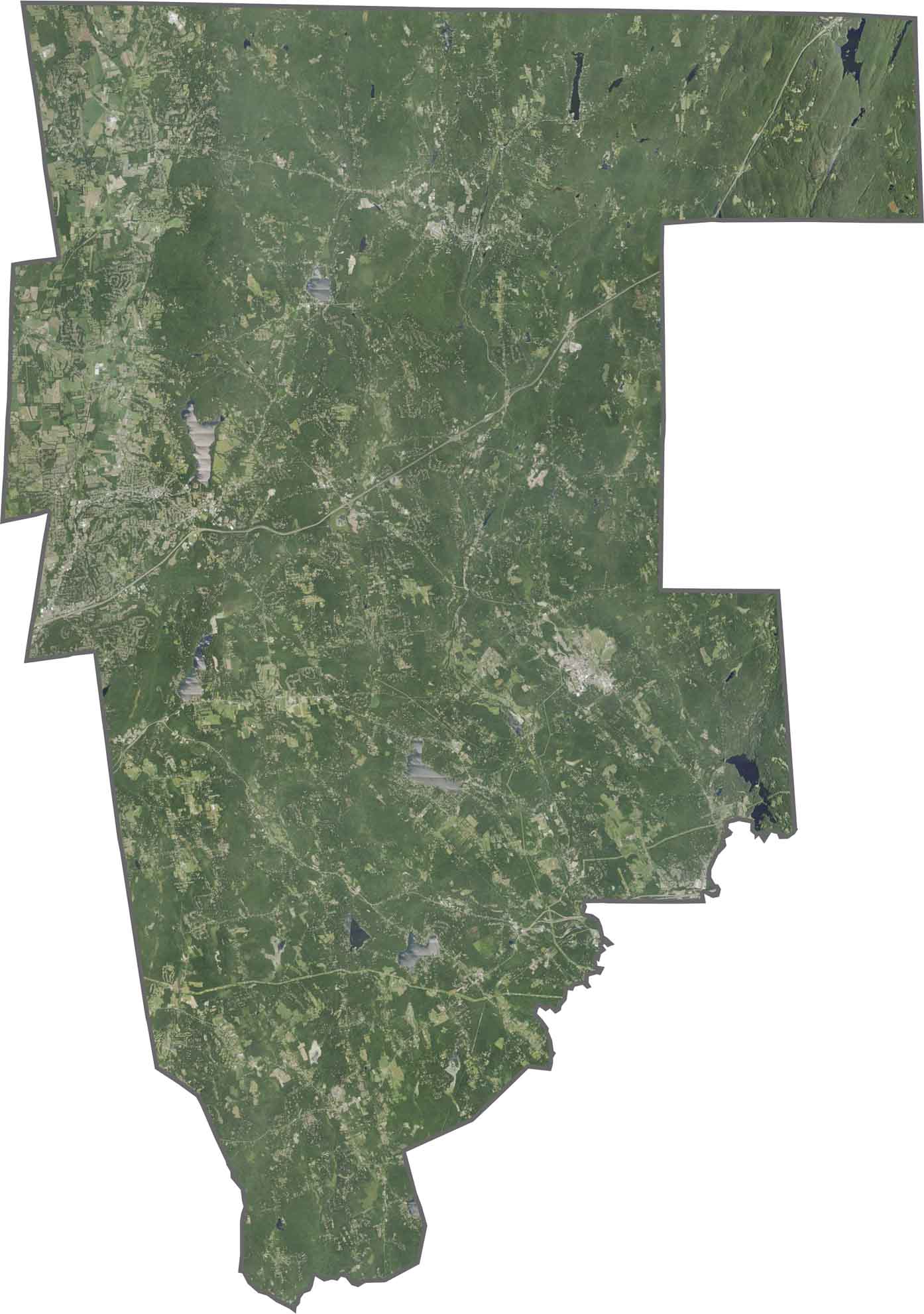
Forest cover dominates this predominantly rural county, with small towns creating scattered clearings throughout the landscape. Development is concentrated along major transportation corridors, while much of the surrounding area remains heavily wooded.
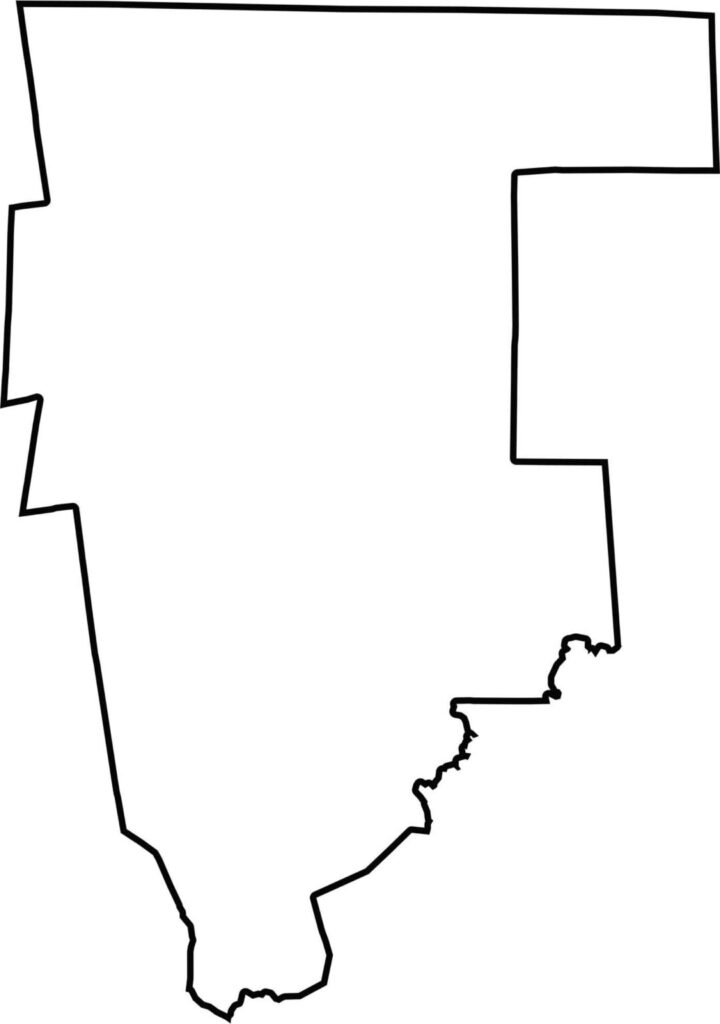
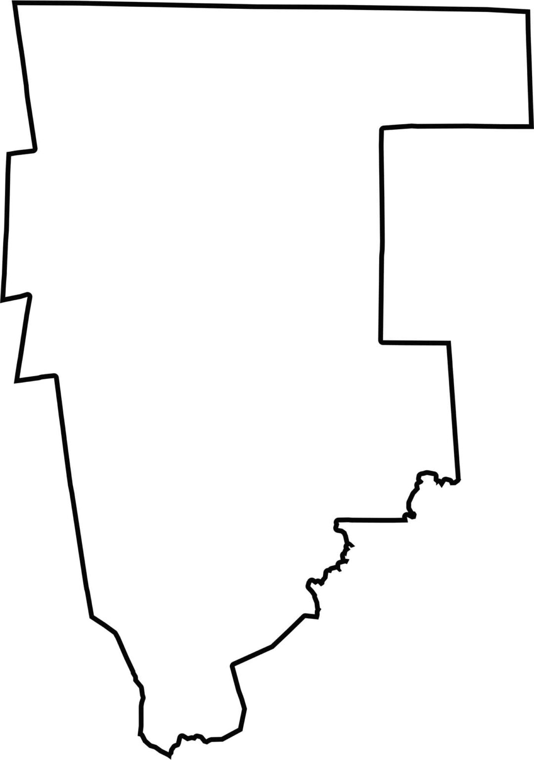
This blank map of Tolland County shows its rectangular shape in northeastern Connecticut. The northern boundary follows the Massachusetts state line, while the western edge borders Hartford County.
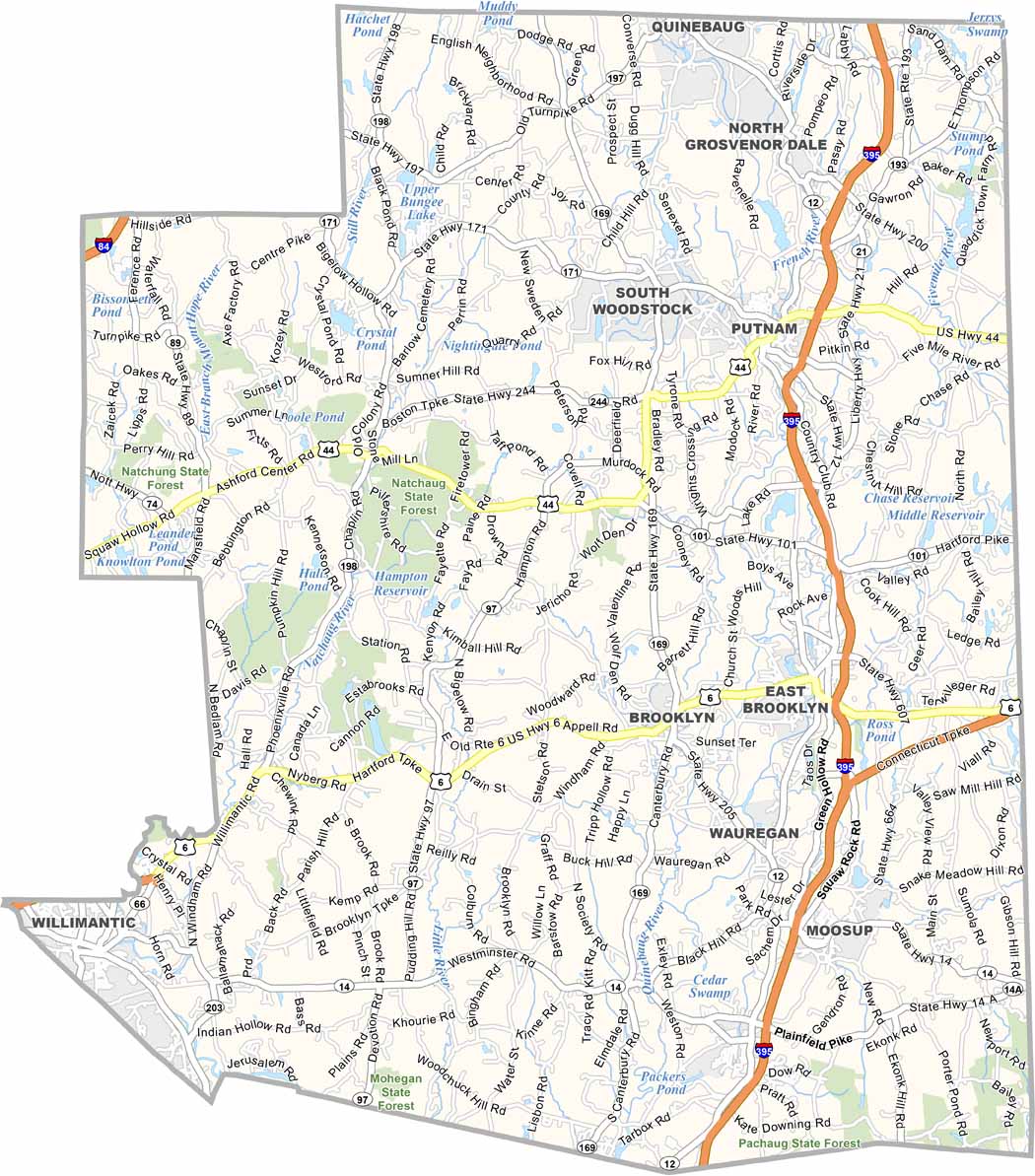
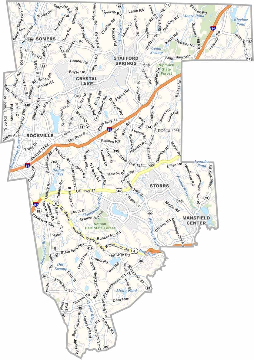
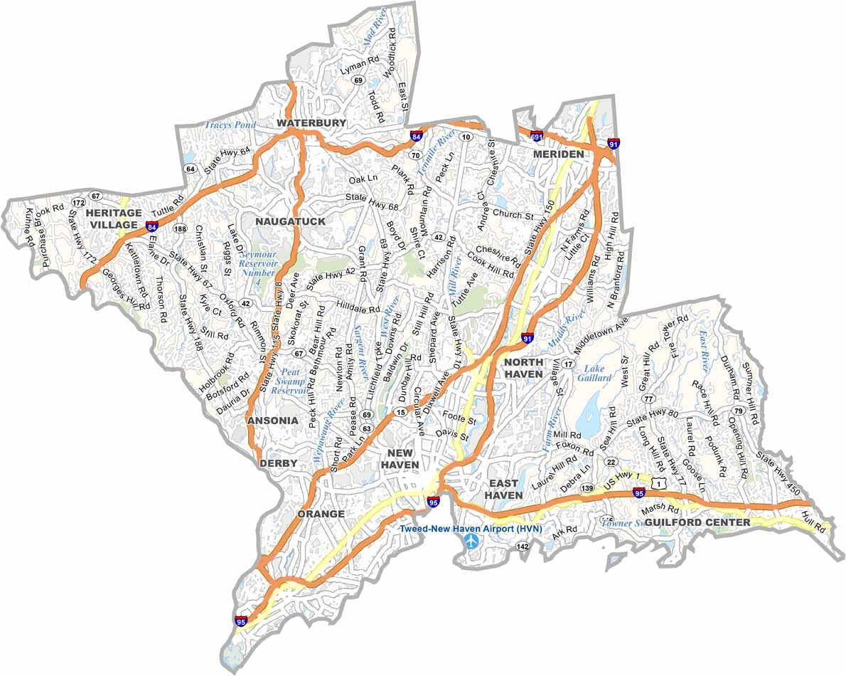

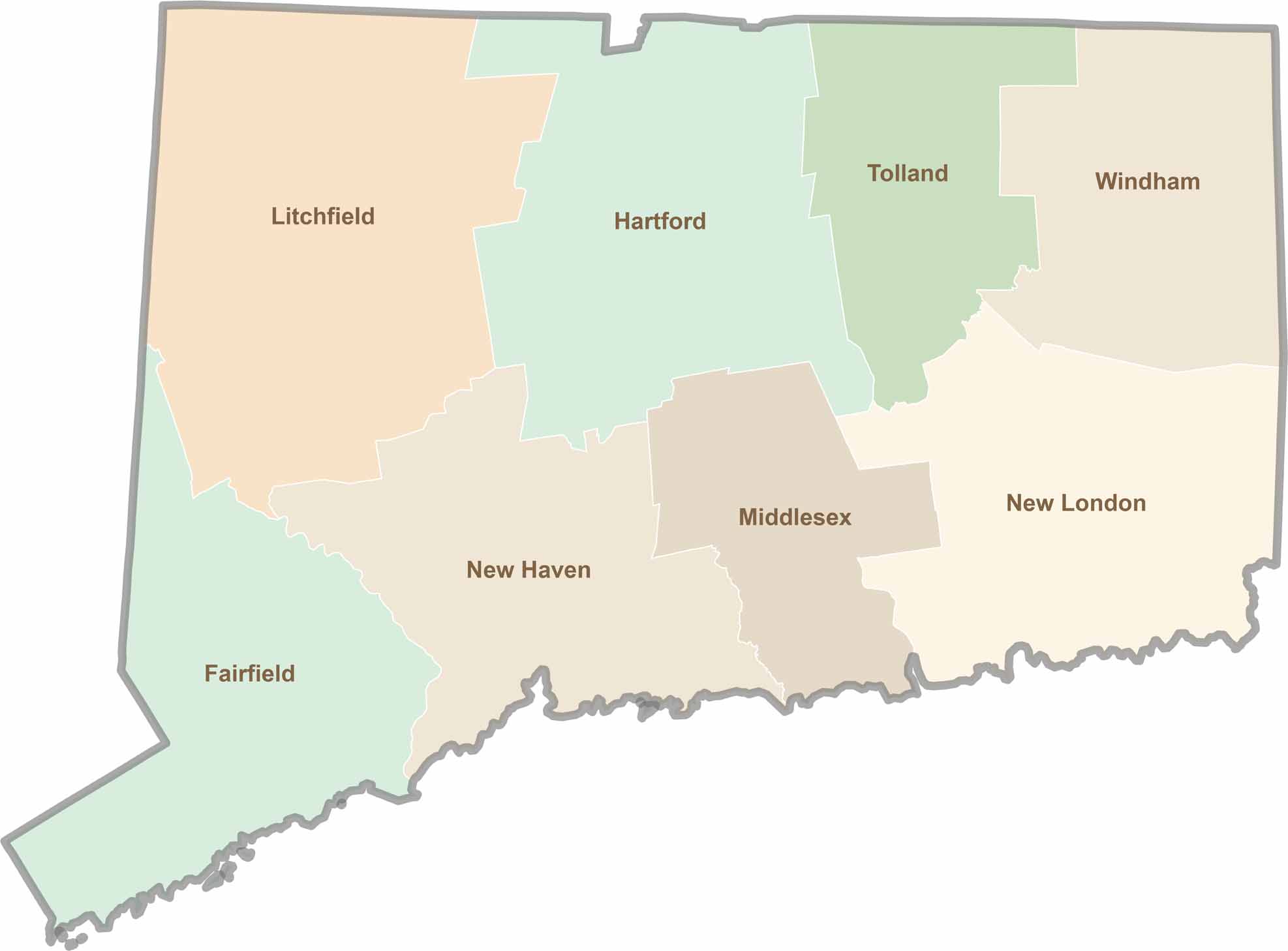
Not sure which Connecticut counties to explore? Each of the state’s eight counties has its own unique character. Our Connecticut county map features topographic, satellite, and outline maps to help you discover every region with ease.