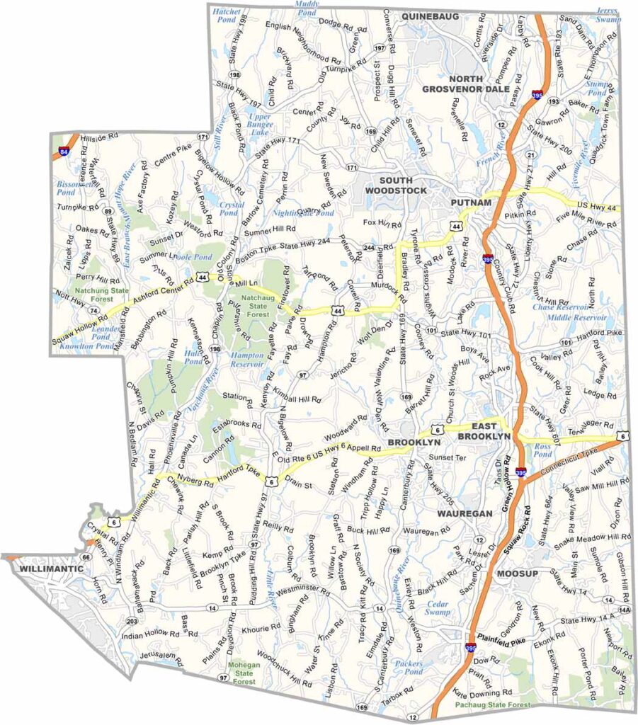
Windham County, Connecticut

Windham County sits in Connecticut's "Quiet Corner," right along the borders of Rhode Island and Massachusetts.

This is classic New England. Mill towns and dairy farms shape the landscape, while the Airline Trail offers miles of hiking and biking through peaceful countryside.

Windham County is home to one of Connecticut's last great green valleys. It's a part of the state that many tourists overlook, but locals truly appreciate. Quiet, scenic, and full of timeless New England charm.
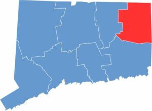
Windham location map highlighting its position in Connecticut.
Category Details
County Name Windham County
County Seat None (Connecticut counties do not have county seats)
Cities, Towns, and Communities Putnam, Willimantic, Plainfield, Killingly, Windham, Brooklyn, Pomfret, Woodstock, Canterbury, Thompson, Ashford, Eastford, Chaplin, Hampton, Scotland, Sterling, Voluntown
Interstates and Highways I-395, U.S. Highway 6, U.S. Highway 44, State Highway 12, State Highway 169
Etymology Named after Windham in Sussex
FIPS Code 09-015
Total Area (Land and Water) 521 square miles (land: 513 sq mi, water: 8 sq mi)
Time Zone Eastern Time Zone (EST/EDT)
State Connecticut
Coordinates 41.7889° N, 71.9090° W
Major Landmarks Roseland Cottage, Prudence Crandall Museum, Nathan Hale State Forest, Quaddick State Park, Airline State Park Trail
Adjacent Counties (and Direction) Worcester County, Massachusetts (North), Providence County, Rhode Island (East), Kent County, Rhode Island (Southeast), New London County (South), Tolland County (West)
Population Approximately 120,000

PHYSICAL MAP

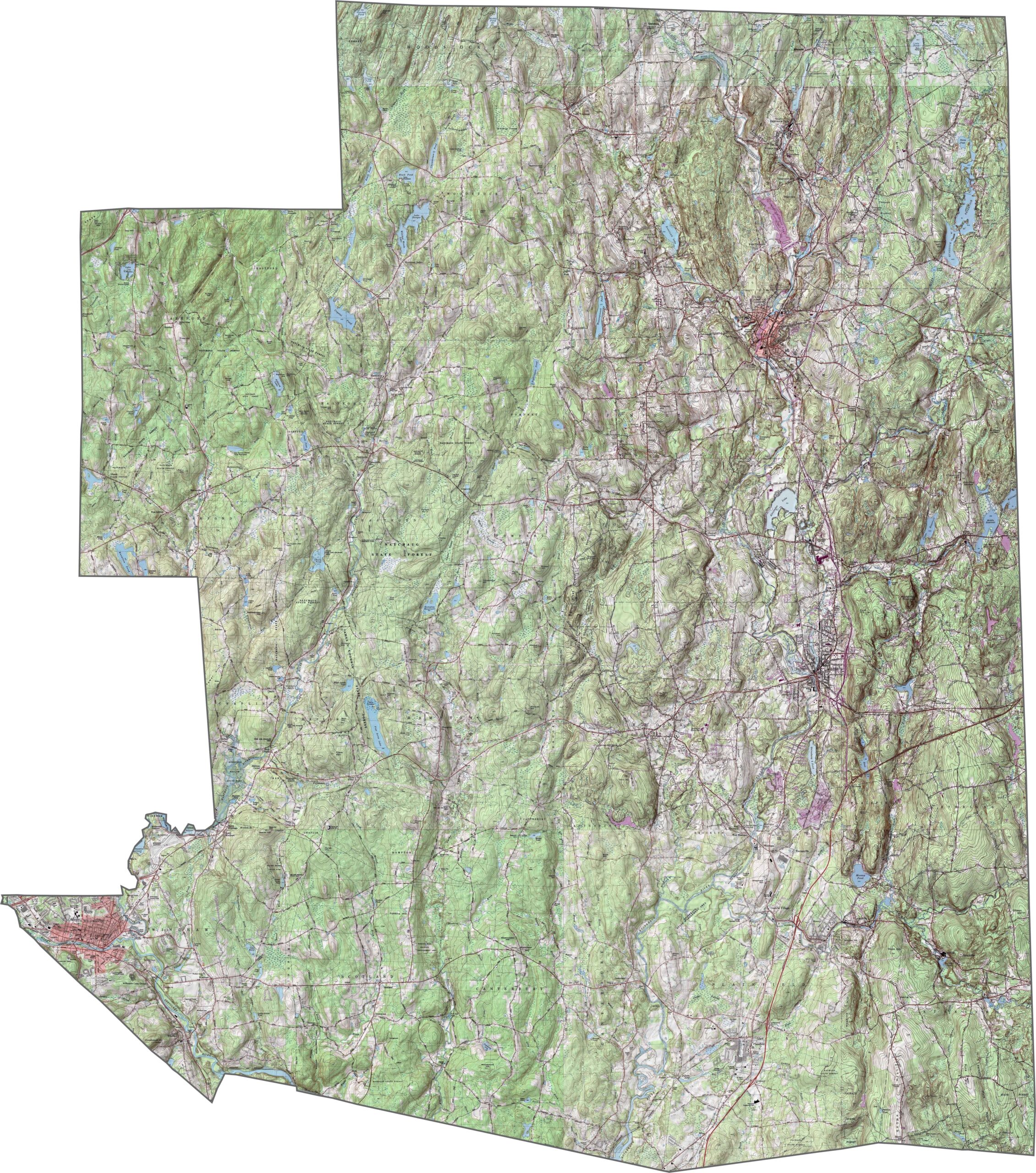
Windham County Topographic Map

This topographic map highlights Windham County’s rolling hills and river valleys in Connecticut’s “Quiet Corner.” Use the zoom tool to explore the county’s varied landscape, where countless small streams wind through the countryside before flowing into the Quinebaug River.
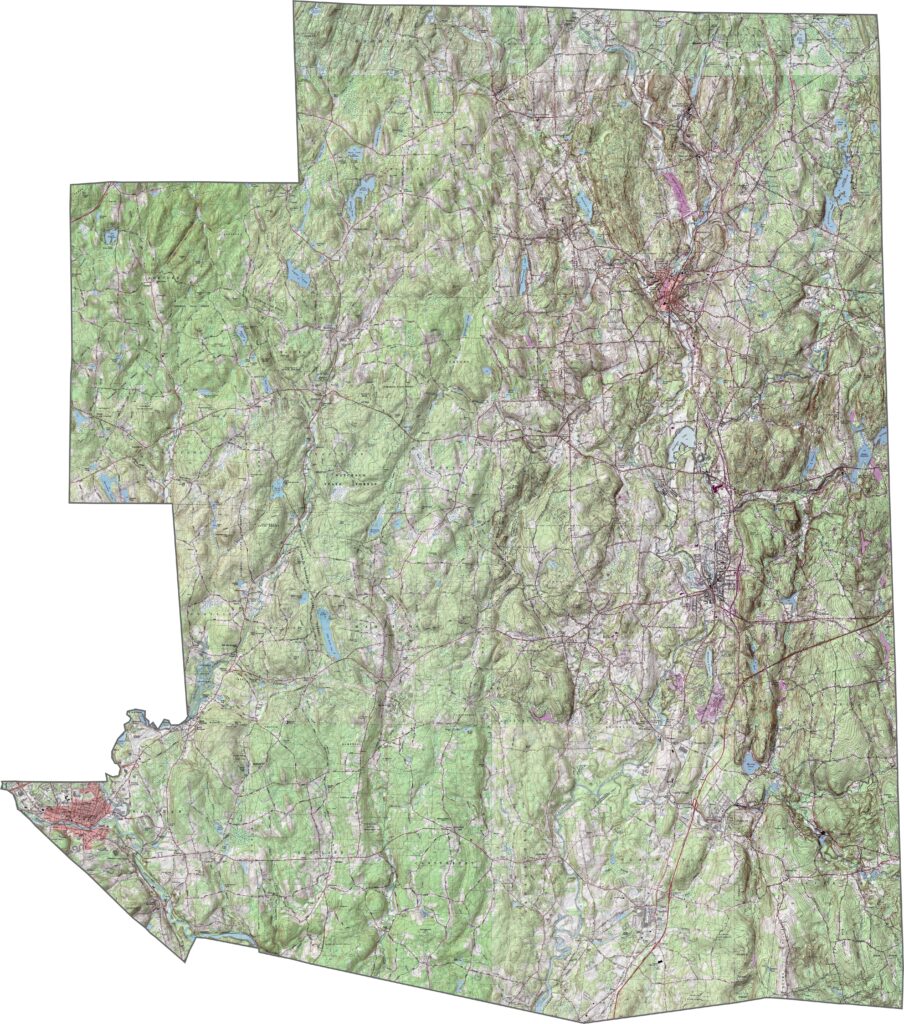
Topographic map of Windham County showing terrain and elevation in Connecticut.

SATELLITE IMAGERY

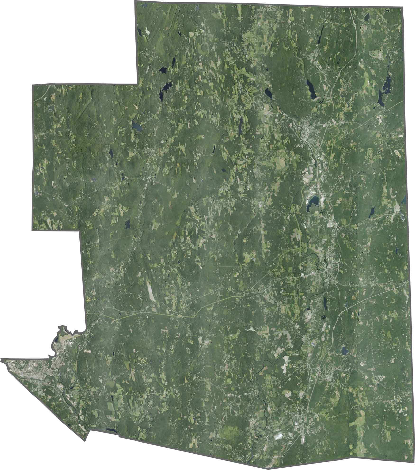
Windham County Satellite Map

Extensive forests blanket much of this rural county in northeastern Connecticut near the Rhode Island border. Small towns appear as scattered clearings across the landscape, while the Quinebaug River valley forms a distinct natural corridor running through the region.
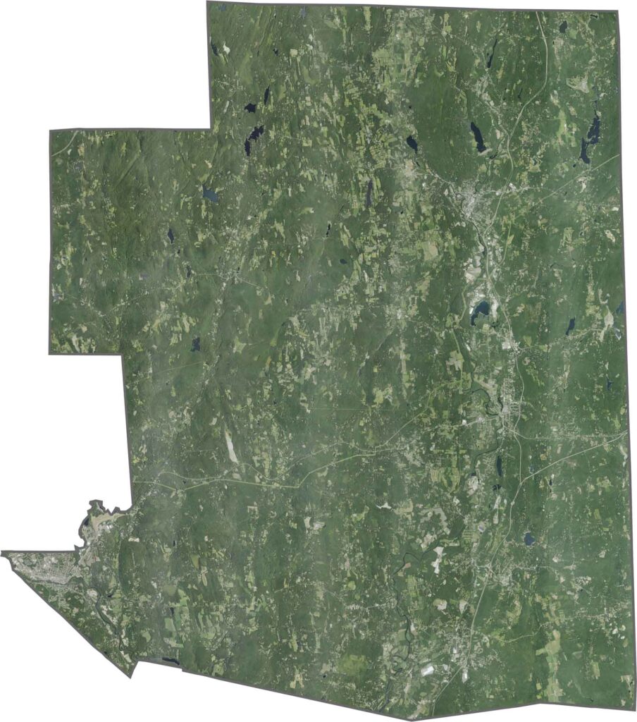
Satellite map of Windham County showing land features in Connecticut.

OUTLINE MAP

Windham County Blank Map

This blank map shows the outline of Windham County in Connecticut’s northeastern corner. Its northern border meets Massachusetts, while the eastern boundary runs along the Rhode Island state line.
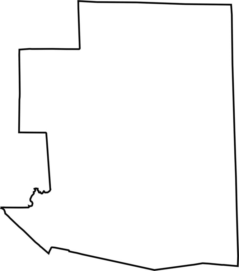
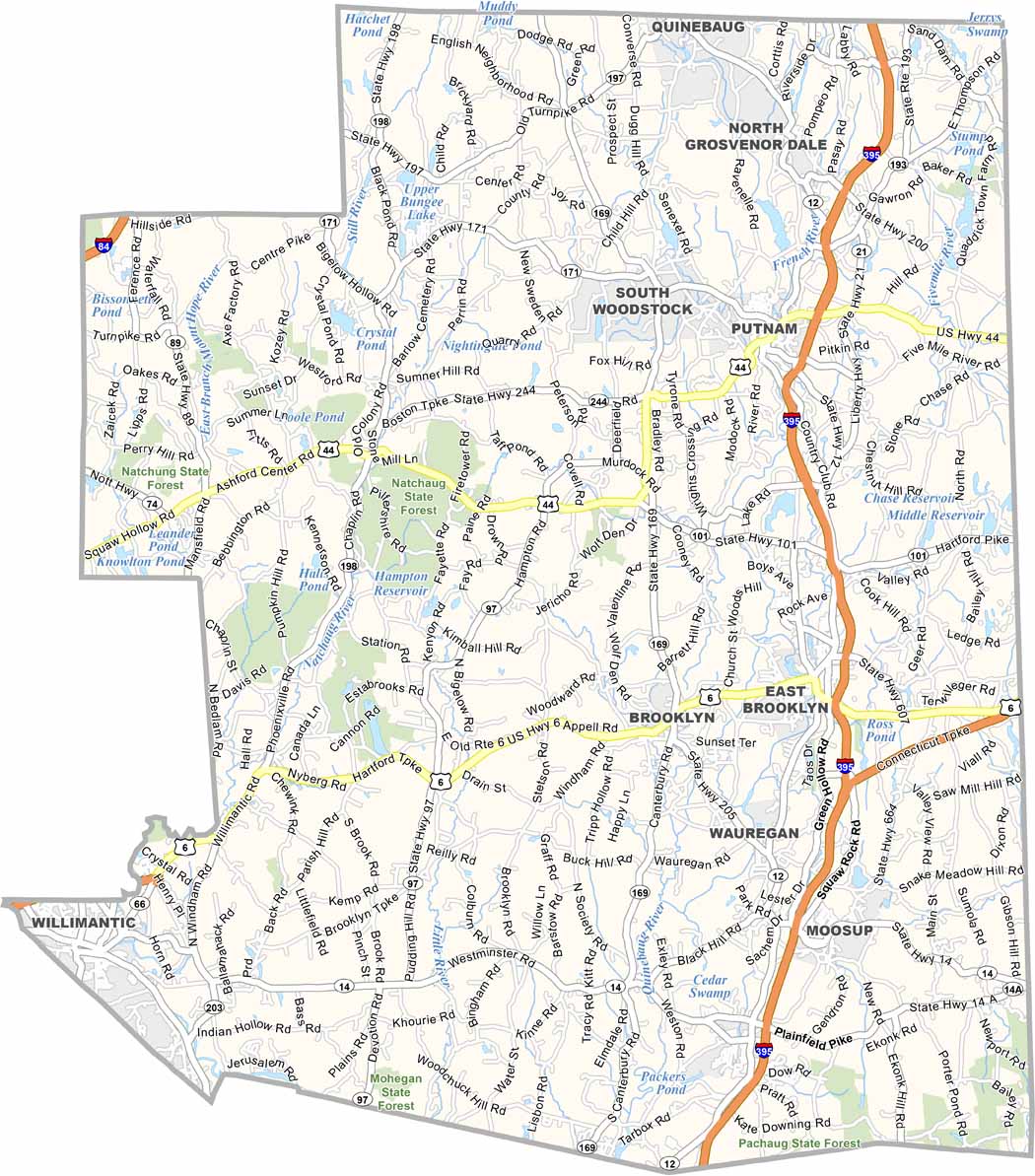
Blank map of Windham County, Connecticut, showing county boundaries.

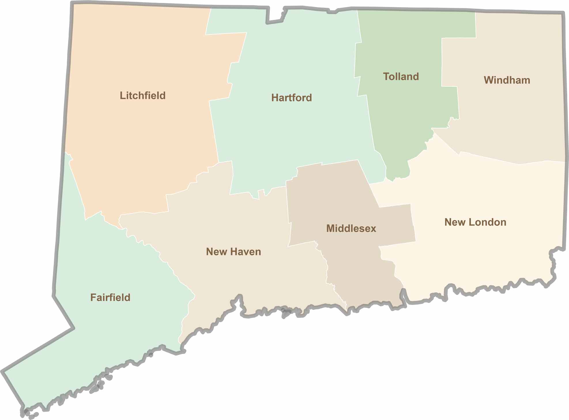
Connecticut County Map

Connecticut map showing boundaries and locations.

Not sure which Connecticut counties to explore? Each of the state’s eight counties has its own unique character. Our Connecticut county map features topographic, satellite, and outline maps to help you discover every region with ease.

Scroll to Top