
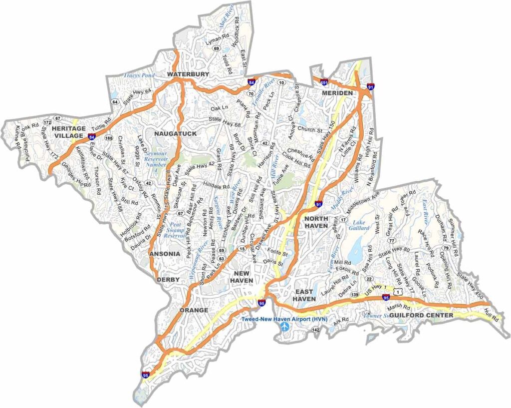
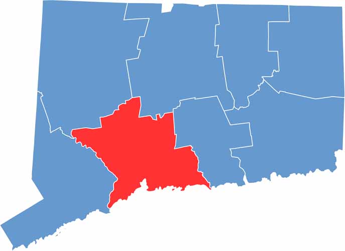
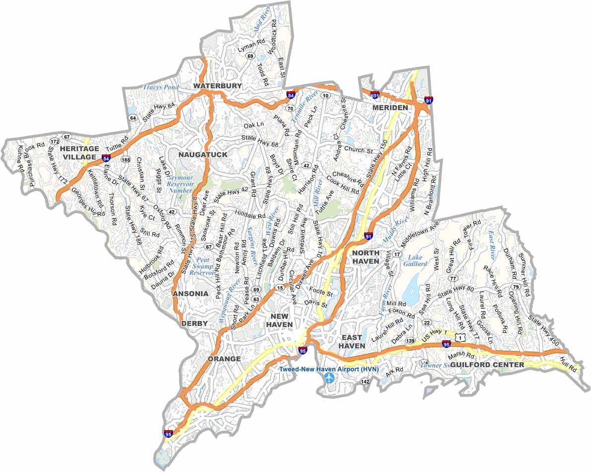
New Haven County occupies Connecticut’s south-central coast, anchored by Yale University and its rich academic heritage. The county stretches from Long Island Sound inland toward the scenic Naugatuck Valley.
Sleeping Giant State Park offers a popular escape into nature, while New Haven County also provides plenty of cultural and entertainment options. You can enjoy world-class theater one night and catch a minor league baseball game the next.
New Haven itself is a paradise for food lovers. While the city is famous for its Ivy League connections, its legendary New Haven-style pizza often steals the spotlight. With its blend of culture, history, entertainment, and incredible food, New Haven County stands out as one of Connecticut’s cultural centers.
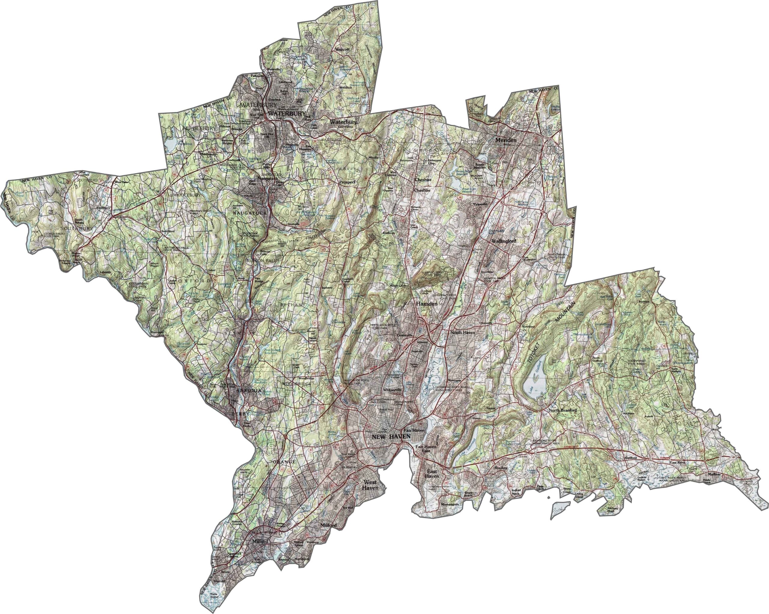
This topographic map of New Haven County reveals the contrast between its coastal plain and inland hills. Use our zoom tool to explore the transition from the Long Island Sound shoreline to the higher elevations of the Naugatuck River Valley.
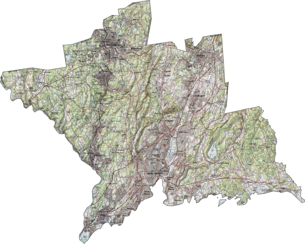
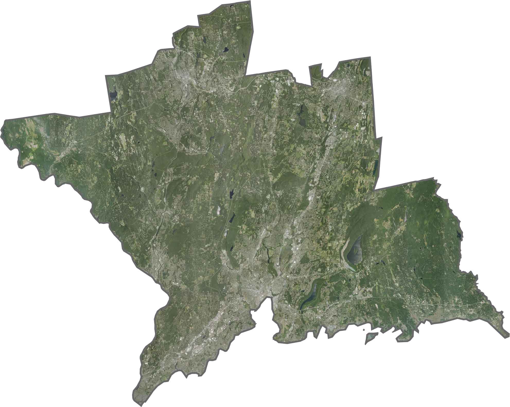
Urban development is concentrated along the coast and major river valleys throughout this south-central Connecticut county. New Haven Harbor creates a distinctive geographic feature, while inland areas include a mix of smaller cities, towns, and forested landscapes.
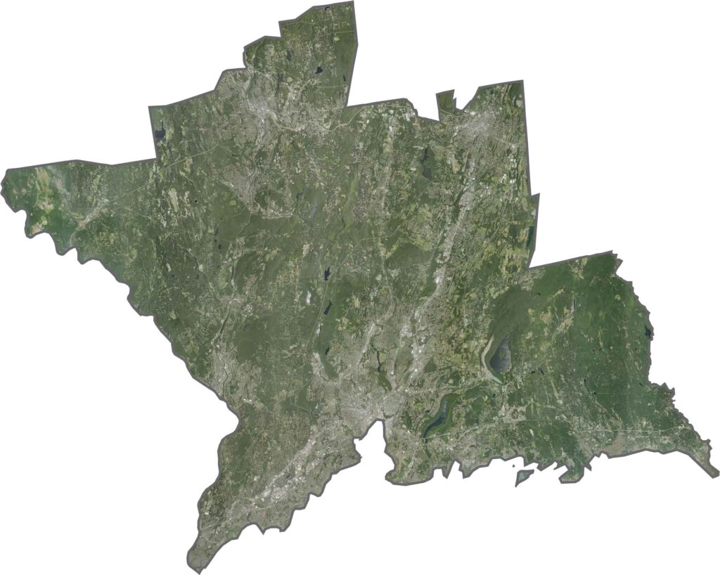
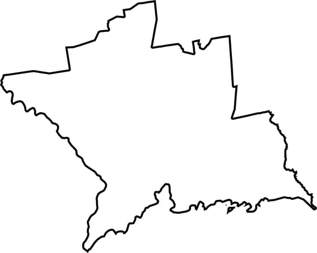
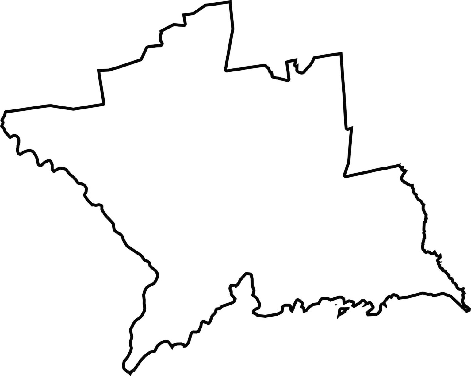
This blank map of New Haven County highlights its irregular shape along Connecticut’s southern coast. The southern boundary follows the Long Island Sound shoreline, while the northern edge extends toward the state’s central highlands.
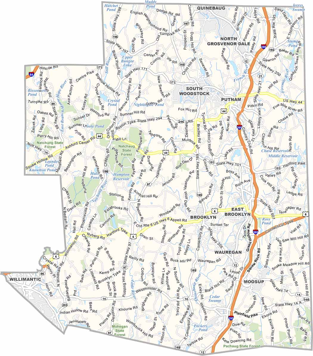
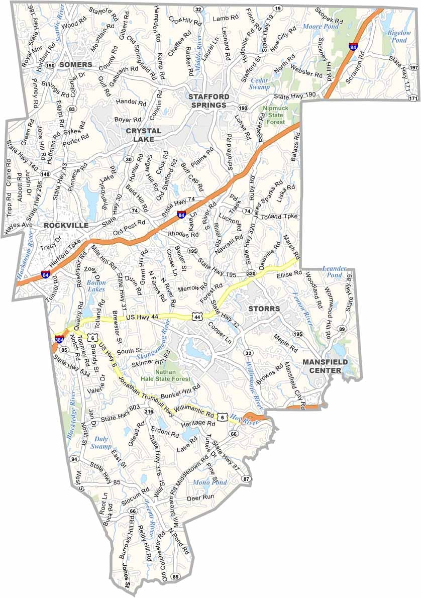
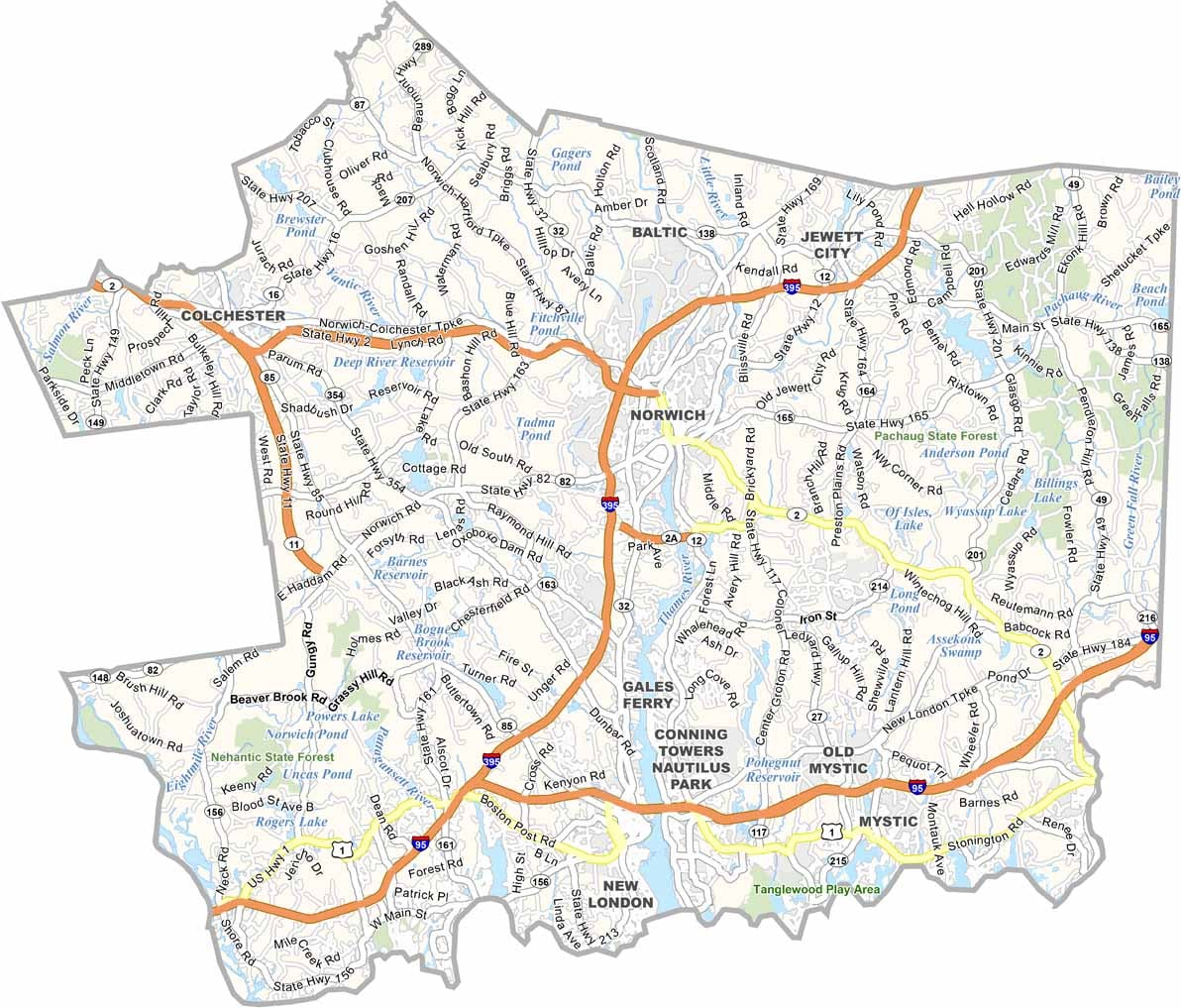
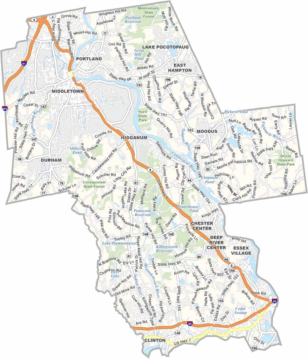
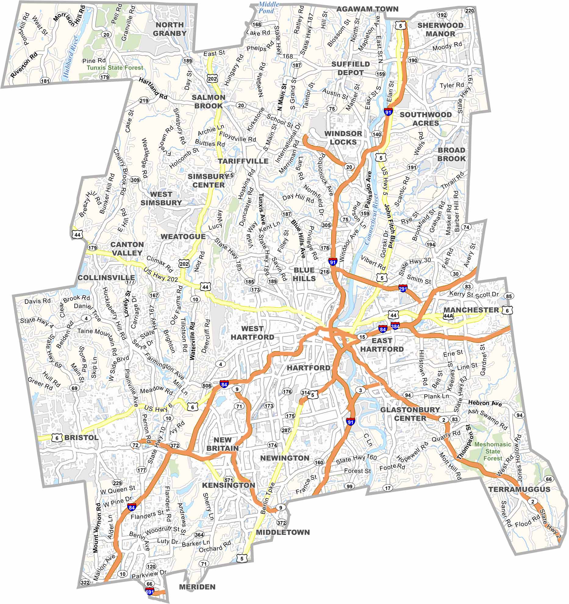

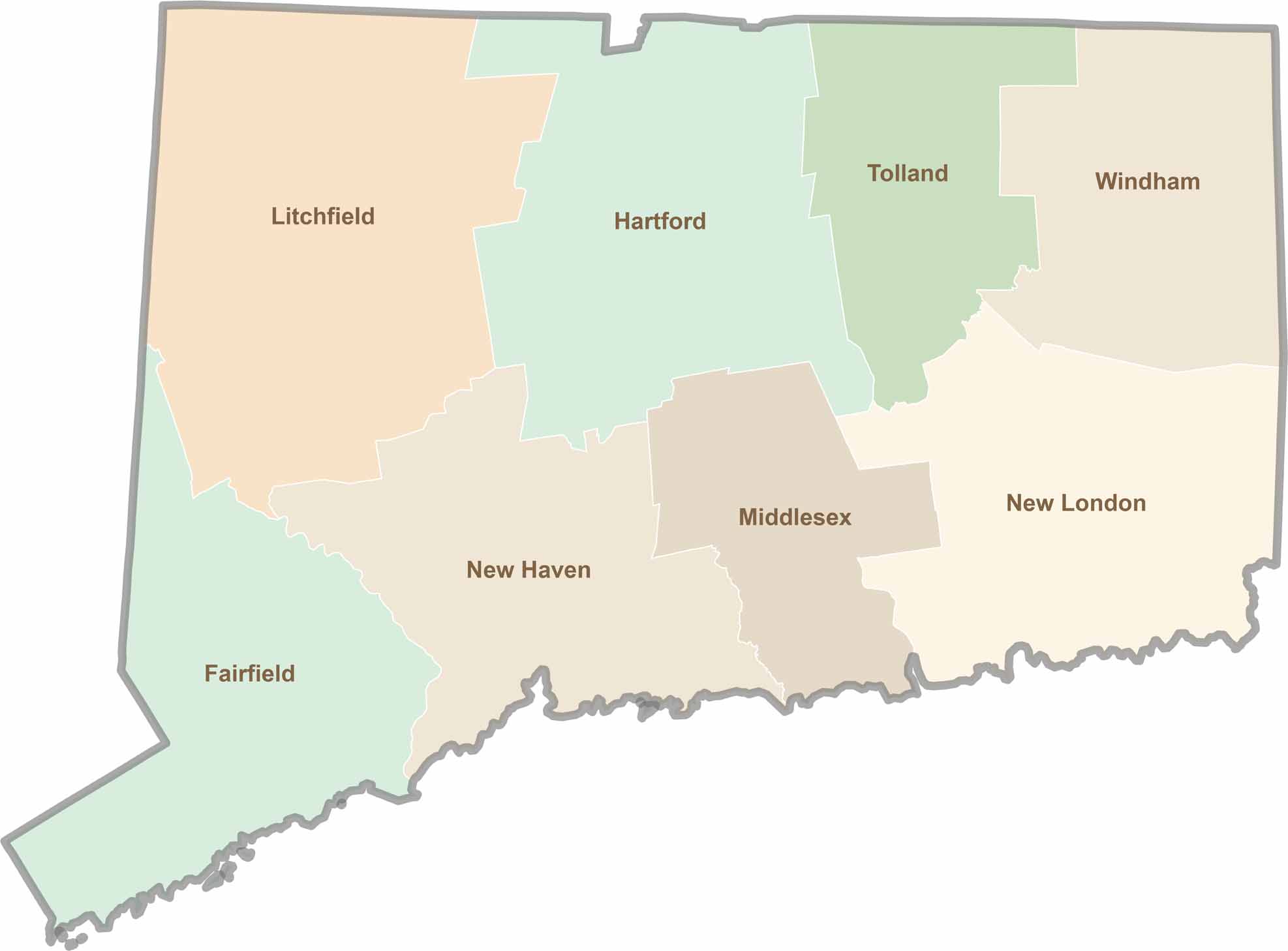
Not sure which Connecticut counties to explore? Each of the state’s eight counties has its own unique character. Our Connecticut county map features topographic, satellite, and outline maps to help you discover every region with ease.