
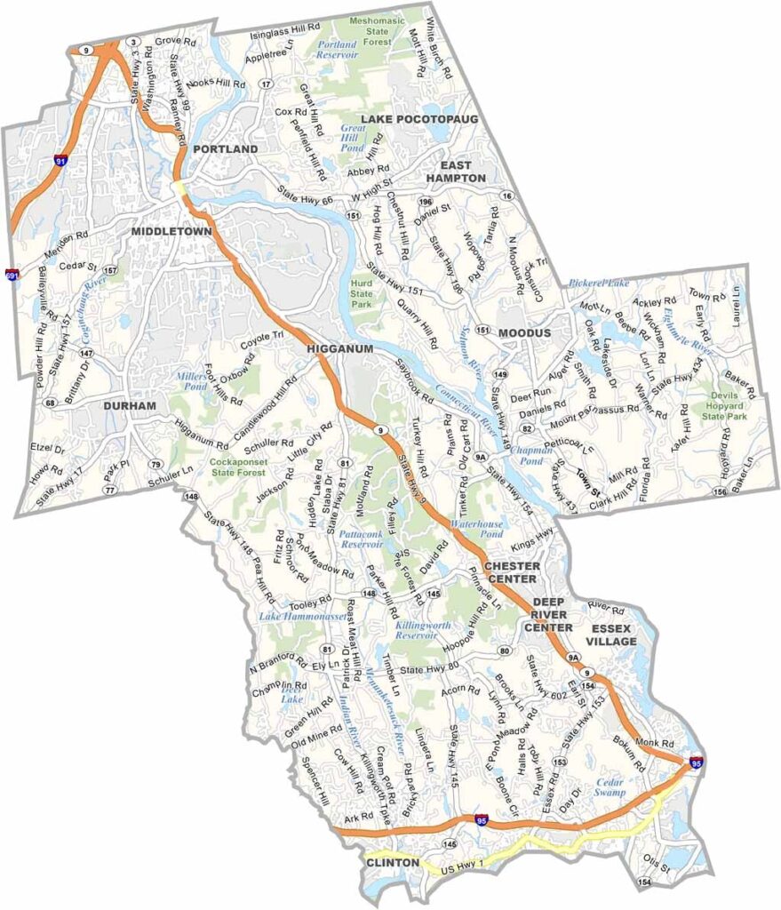
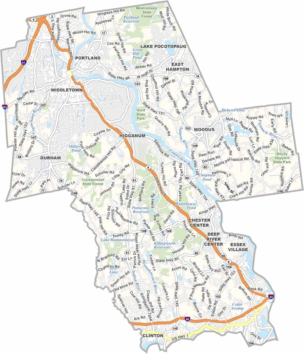
Middlesex County stretches along the Connecticut River through the central part of the state. It is home to Wesleyan University, which brings a youthful and energetic atmosphere to Middletown.
This county offers a little bit of everything, from historic river towns and coastal communities to quiet farming villages. Visitors can enjoy a ride on a historic steam train or catch a performance at the renowned Goodspeed Opera House.
Middlesex County continues to preserve its rich maritime heritage while embracing the future. With its blend of history, culture, scenic waterways, and charming communities, it offers a relaxed yet evolving character that reflects the best of central Connecticut.
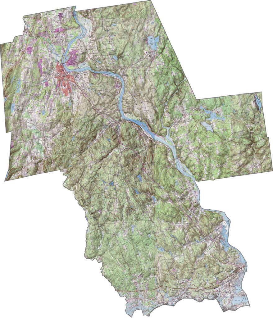
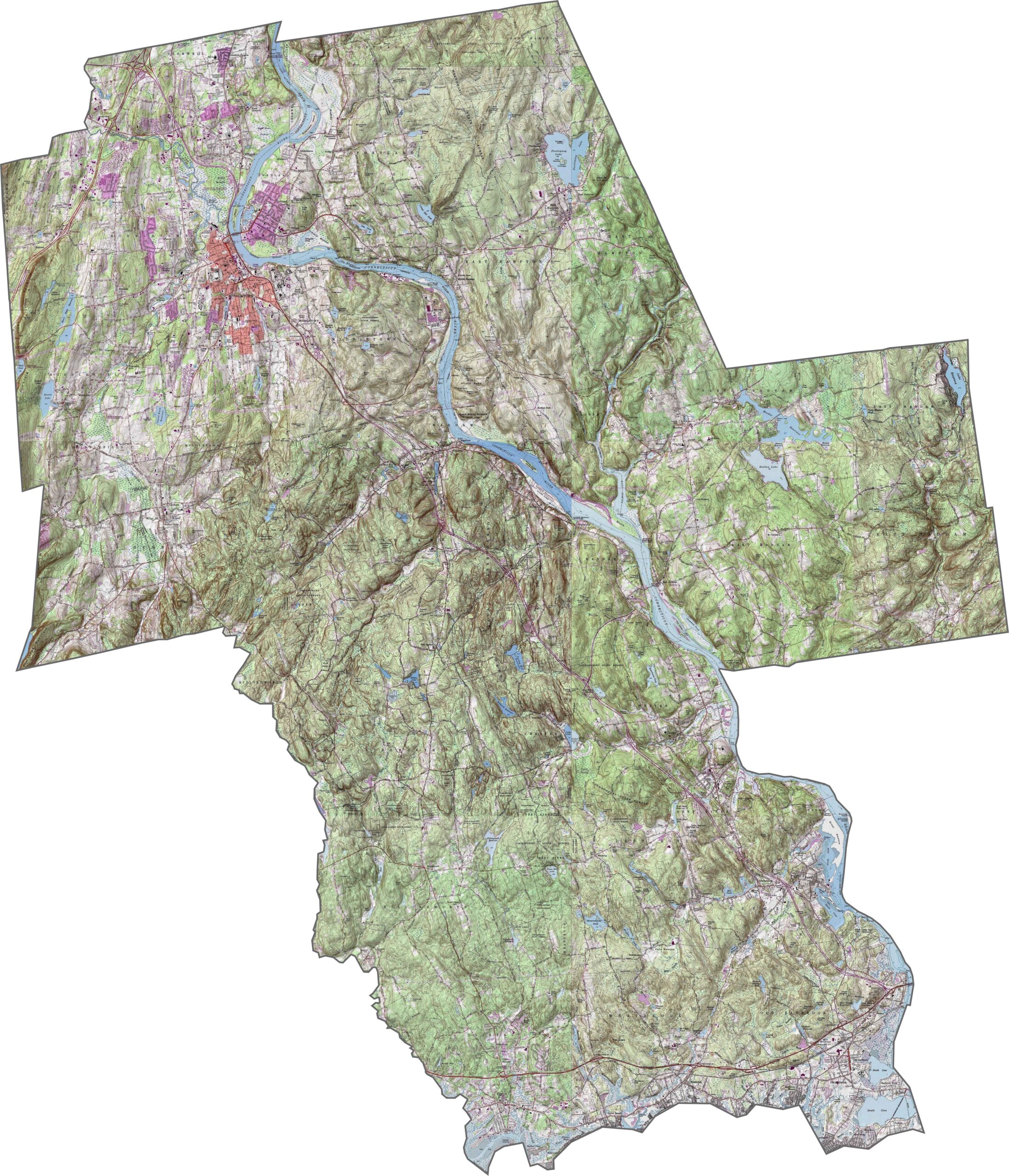
Our topographic map of Middlesex County highlights the landscape along the lower Connecticut River Valley. Use our zoom tool to explore the river corridor and the gradual rise toward higher elevations in the eastern and western parts of the county.
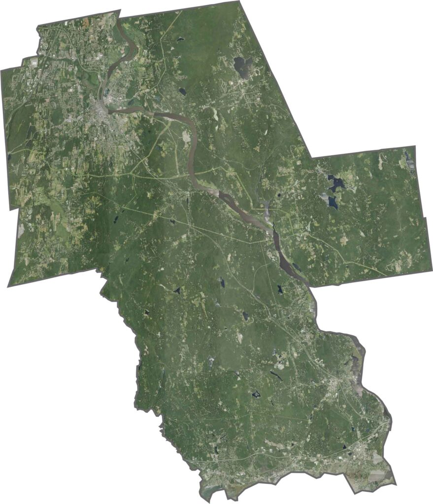
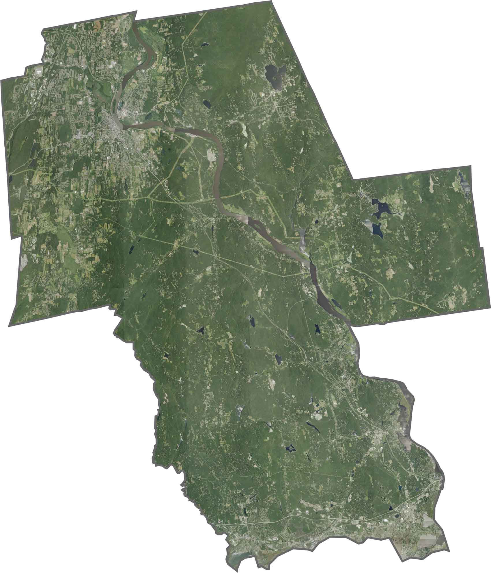
The Connecticut River creates a north-to-south corridor through this central Connecticut county. Small cities and towns along the river appear as developed areas within a predominantly forested landscape, with scattered agricultural clearings throughout the region.
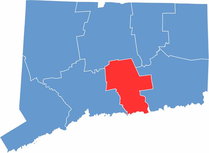
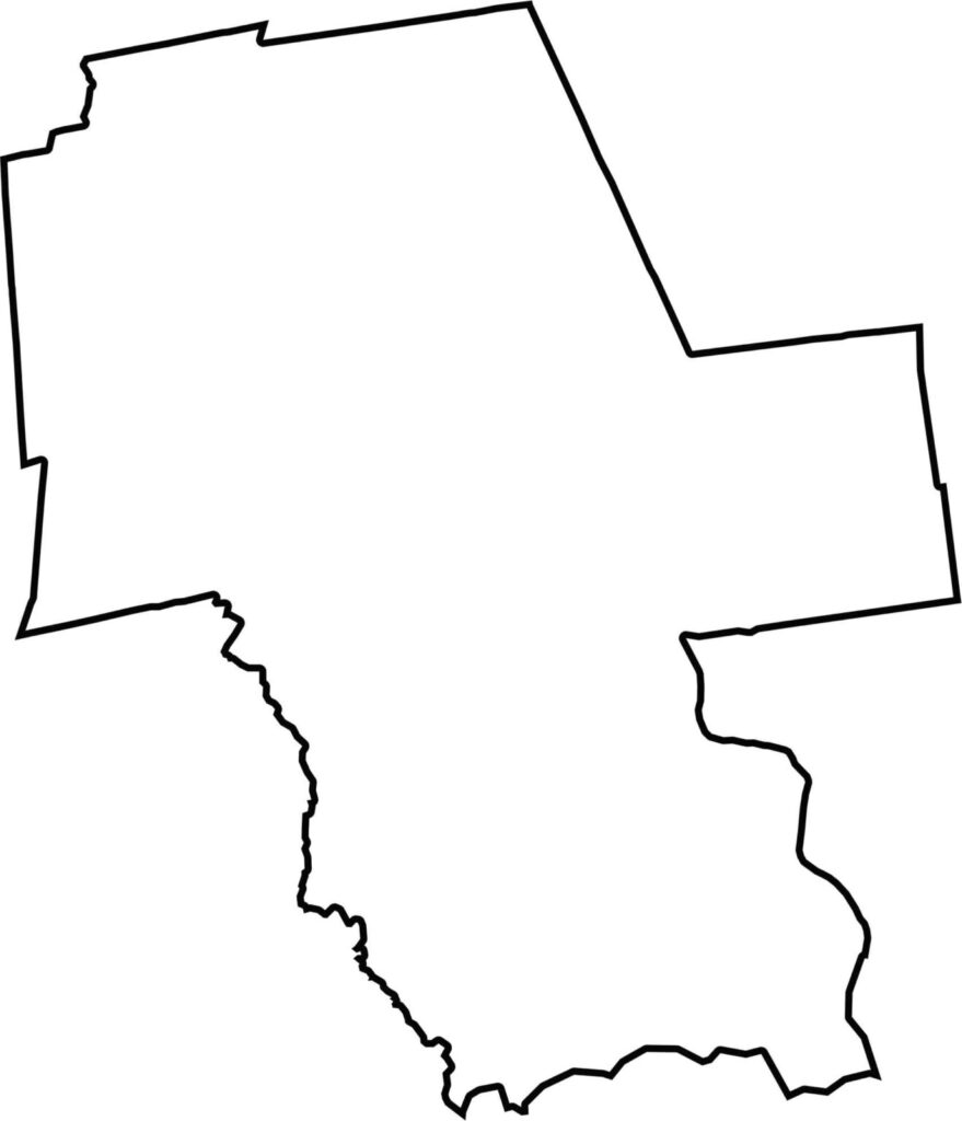
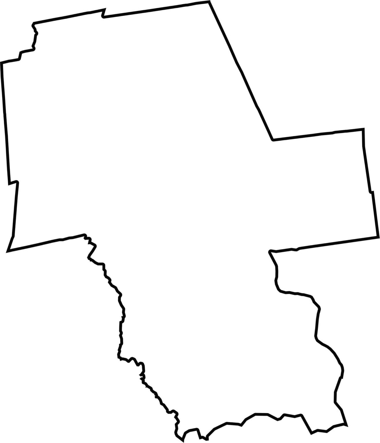
This blank map of Middlesex County displays its irregular outline in south-central Connecticut. The eastern boundary follows portions of the Connecticut River, while the southern edge extends to Long Island Sound.
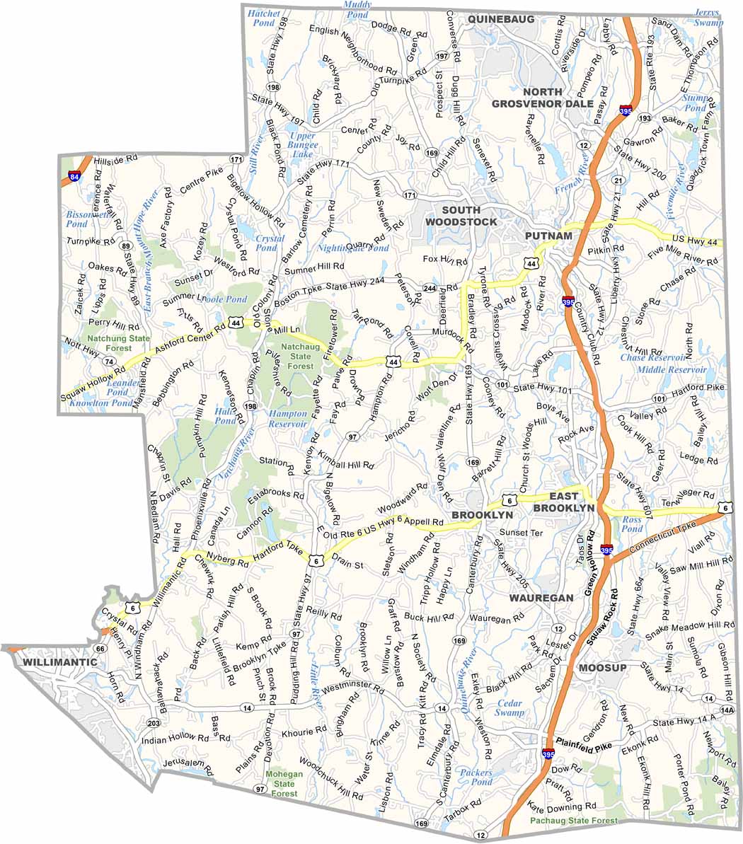
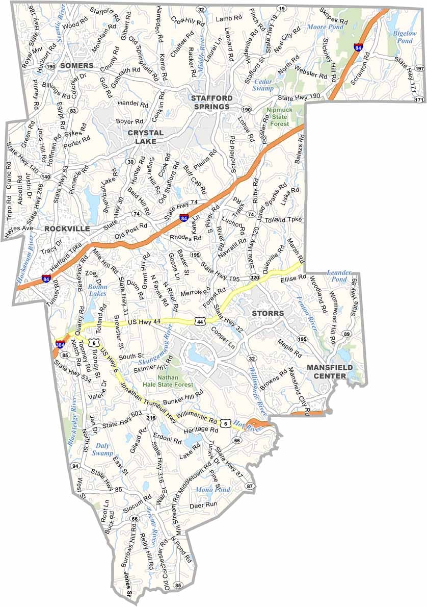
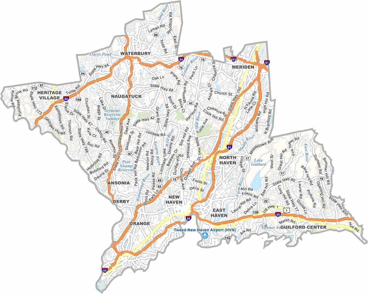

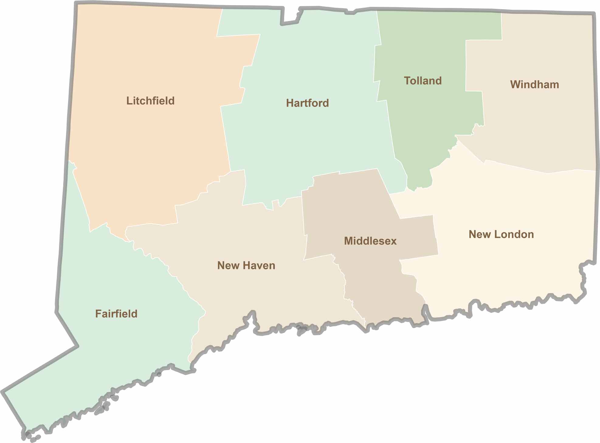
Not sure which Connecticut counties to explore? Each of the state’s eight counties has its own unique character. Our Connecticut county map features topographic, satellite, and outline maps to help you discover every region with ease.