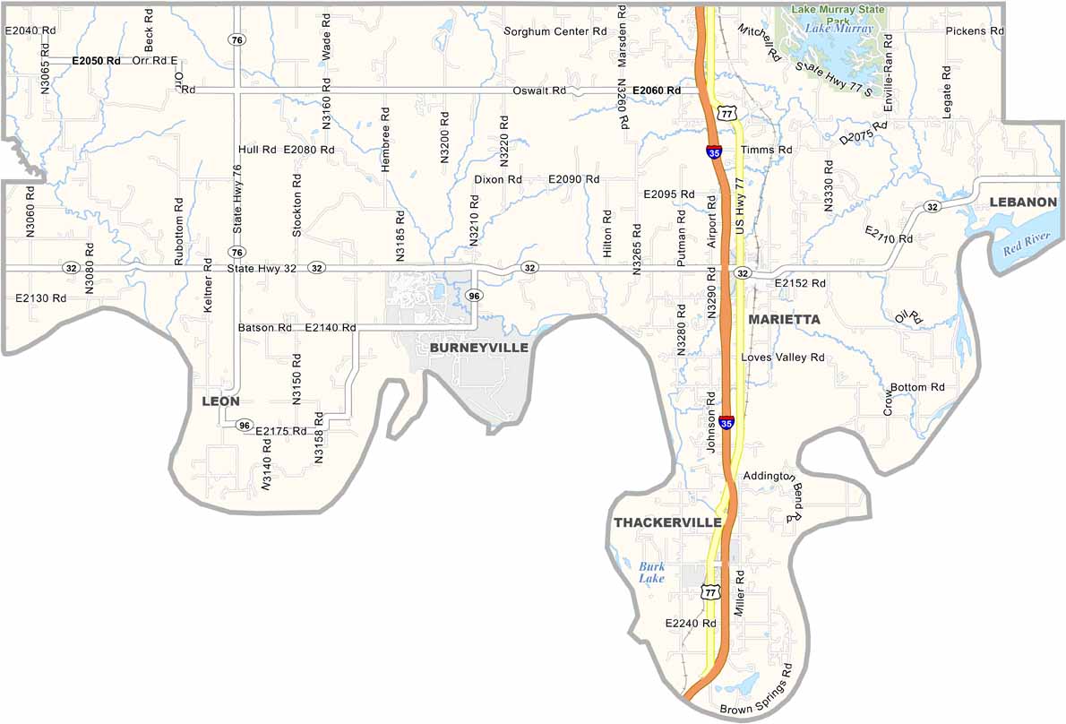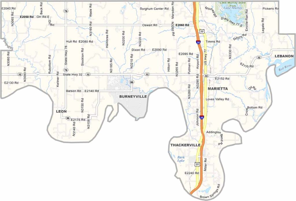
Love County Map, Oklahoma

Love County, Oklahoma

Love County sits in south-central Oklahoma. The Red River forms its southern edge along the Texas border. Marietta is the largest town—not huge, but cozy.

The county has some serious history. It’s named after a Chickasaw family, not the emotion. Oil has long been important here and still plays a role today. Farmland and cattle are also common across the county.

Lake Murray State Park is the county’s largest green space and offers some pretty good fishing. The people are hardworking and down-to-earth. Life is quiet here, but that’s part of the charm.
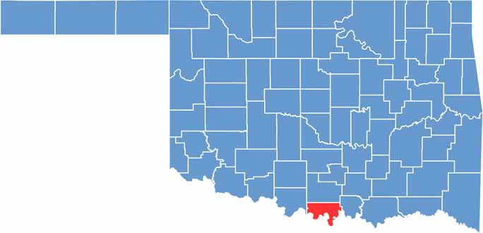

Location map of Love County, Oklahoma
CategoryDetails
County NameLove County
County SeatMarietta
EtymologyNamed after Overton Love, a prominent Chickasaw leader
Cities, Towns, and CommunitiesMarietta, Thackerville, Burneyville, Overbrook, Leon, Courtney
Interstates and HighwaysInterstate 35, U.S. Highway 77, State Highway 32
FIPS Code40-085
Total Area (Land and Water)532 square miles (515 sq mi land, 17 sq mi water)
Adjacent Counties (and Direction)Carter County (North), Marshall County (East), Cooke County, Texas (South), Montague County, Texas (Southwest), Jefferson County (Northwest)
Time ZoneCentral Time Zone (CST)
StateOklahoma
Coordinates33°58’N, 97°14’W
Major LandmarksLake Murray State Park, WinStar World Casino, Falconhead Resort & Country Club
PopulationApproximately 10,000
Scroll to Top