Louisa County, Iowa

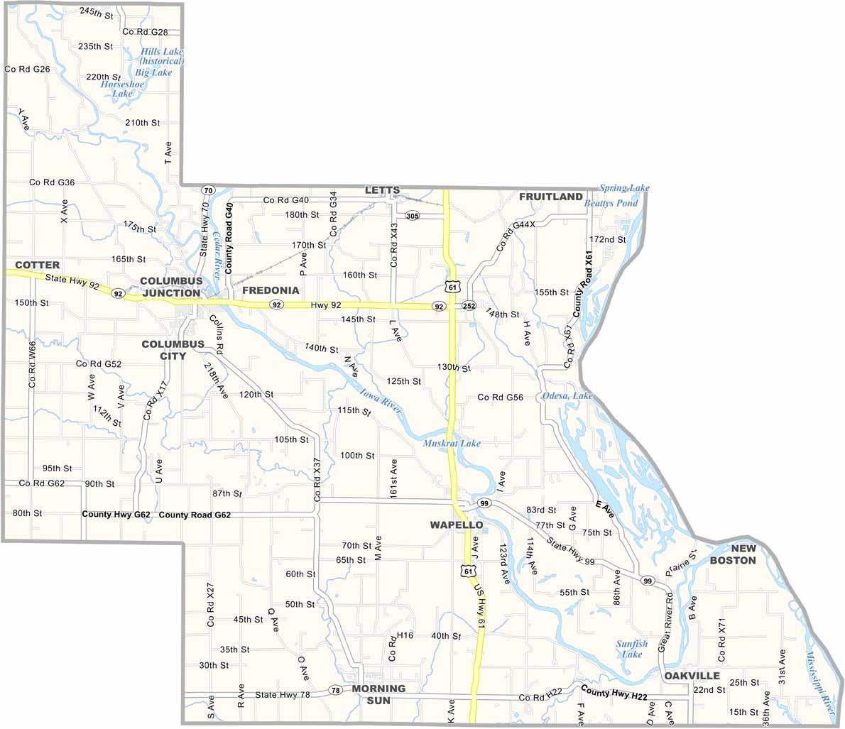
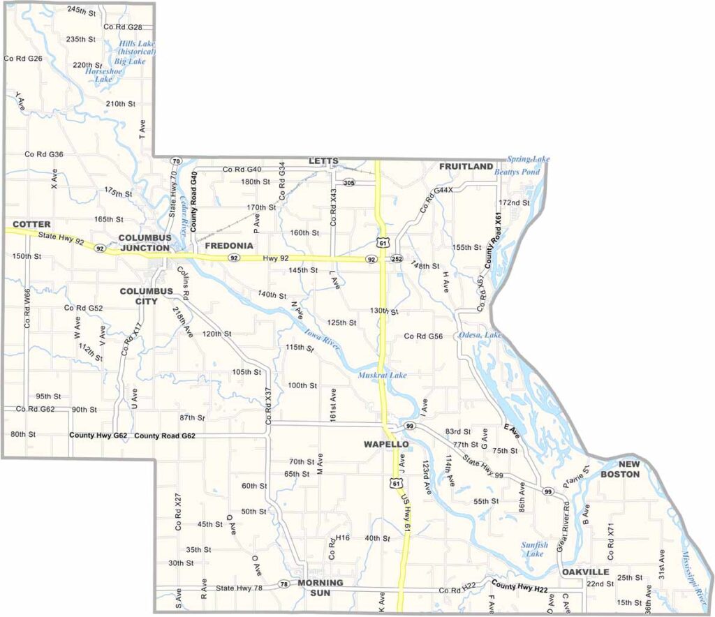
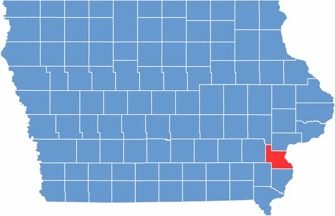
Louisa County, located in southeastern Iowa, is where the Iowa and Mississippi Rivers come together. It’s one of the state’s smaller counties, with just over 11,000 residents.

Wapello, the county seat, sits along the Iowa River and was named after a Fox Indian chief. Its flat terrain is well suited for agriculture, with corn and soybean fields covering much of the landscape.

The county was named after Louisa Massey. You’ve got the Mississippi River on one side and plenty of good farmland throughout. People here tend to keep to themselves, but in a good way.

CategoryDetails
County NameLouisa County
County SeatWapello
EtymologyNamed after Louisa Massey
Cities, Towns, and CommunitiesWapello, Columbus Junction, Letts, Morning Sun, and several unincorporated communities including Grandview and Oakville
Interstates and HighwaysU.S. Highway 61, Iowa Highway 70
FIPS Code19-115
Total Area (Land and Water)688 square miles (land: 682 sq mi, water: 6 sq mi)
Adjacent Counties (and Direction)Johnson County (Northwest), Muscatine County (North), Rock Island County, Illinois (Northeast), Mercer County, Illinois (East), Des Moines County (South), Henry County (Southwest), Washington County (West)
Time ZoneCentral Time Zone (CST)
Population11,000
StateIowa
Coordinates41.18°N, 91.29°W
Major LandmarksLouisa County Historical Society Museum, the Wapello Public Library, and the Columbus Junction Depot
Scroll to Top